

 Antarktika
 Argentina
 Bolivija
 Čile
 Kolumbija
 Ekvator
 Gvajana
 Francoska Gvajana
 Falklandski otoki (Malvini)
 Paragvaj
 Peru
 Surinam
 Urugvaj
 Venezuela
 Nemčija
 Avstrija
 Belgija
 Hrvaška
 Danska
 Slovaška
 Slovenija
 Španija
 Finska
 Francija
 Grčija
 Nizozemska
 Madžarska
 Irska
 Islandija
 Italija
 Luksemburg
 Norveška
 Poljska
 Portugalska
 Združeno kraljestvo
 Češka
 Švedska
 Švica
 Turčija
 Bermudi
 Kanada
 Združene države Amerike
 Grenlandija
 Mehika
 Sveta Peter in Mihael
 Dominikanska republika
 Japonska
 Južnoafriška republika
 Egipt
 Avstralija
 Fidži
 Nova Zelandija
 Papua Nova Gvineja
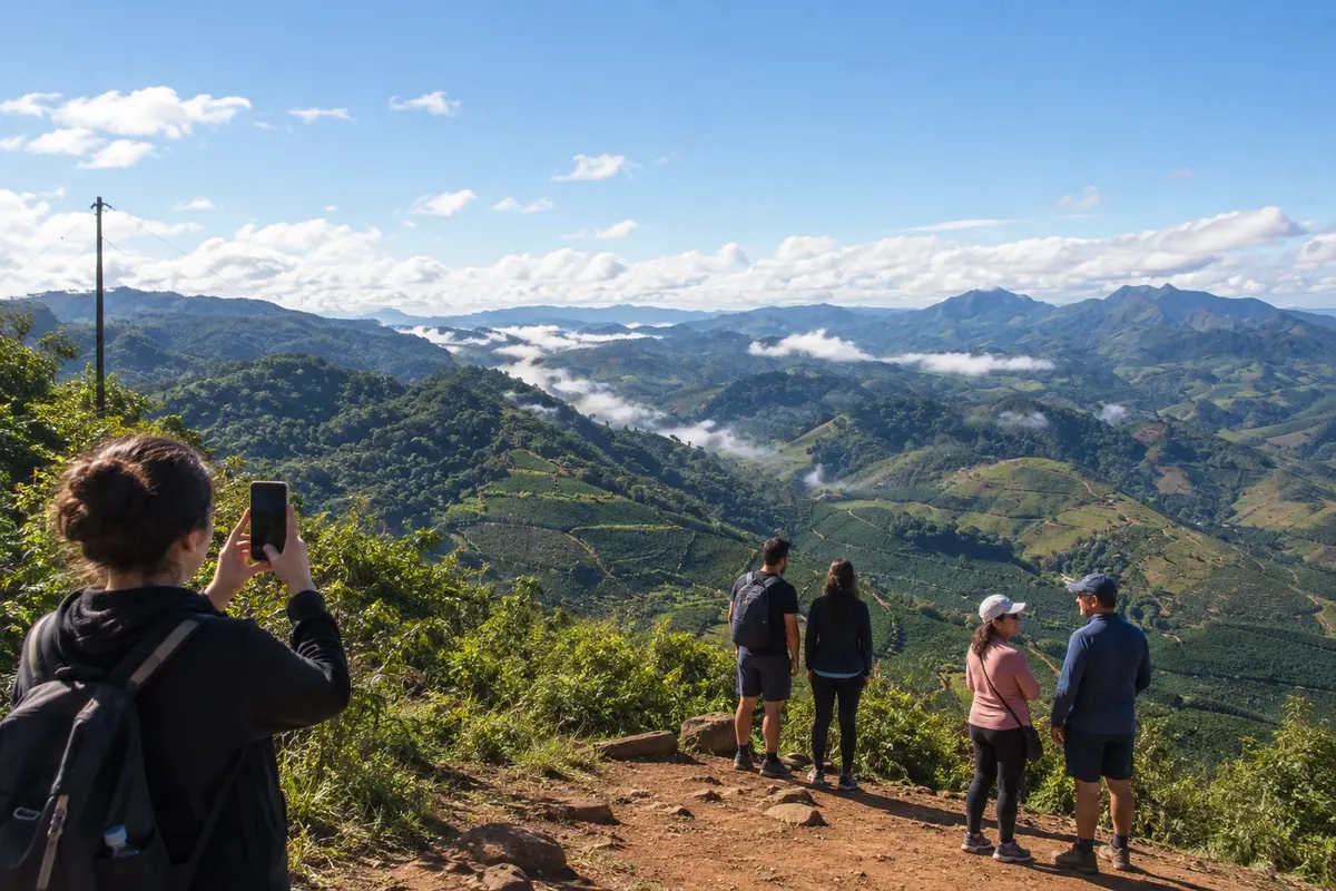
lookout · Conceição do Castelo, ES
Pico do Urubu
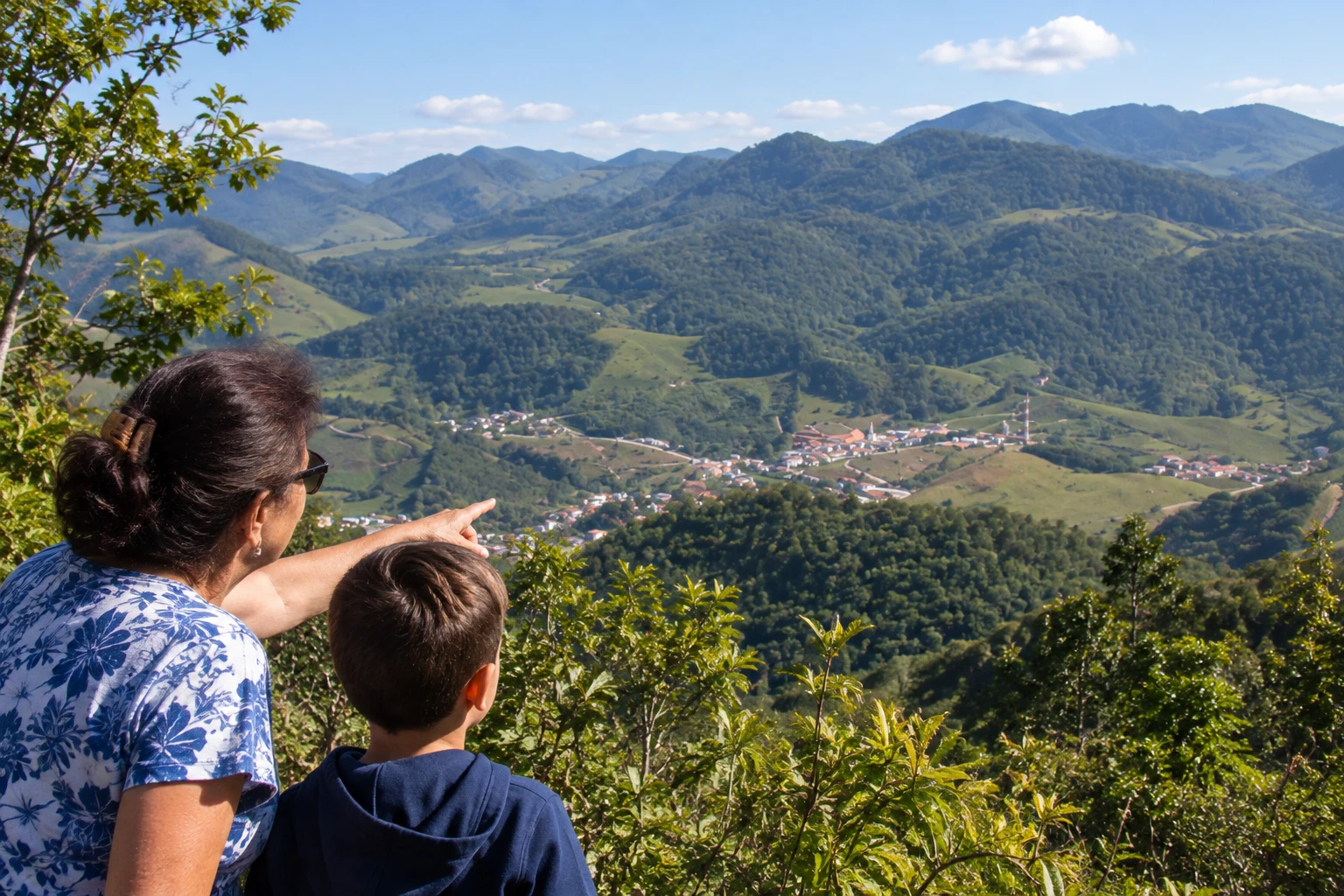
A peak about 1,400 meters above sea level in the community of Estreito, reached by a steep dirt road. From the top you get a panoramic view of the town and the surrounding mountains.
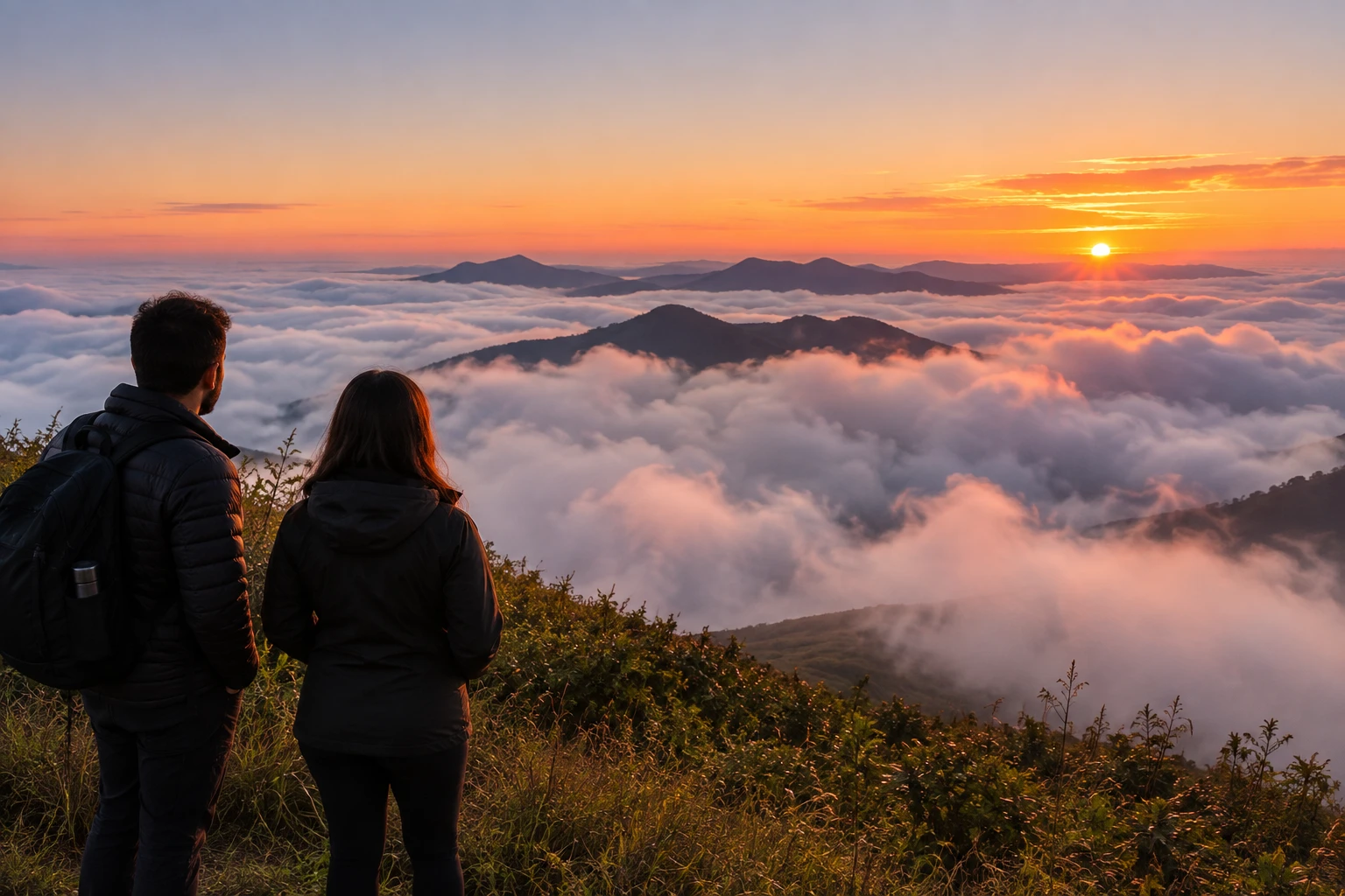
Illustrative images. The pictures in this guide are illustrations based on the real place, not photographs, and may differ from it.


Pogled na kraj
Pico do Urubu v slikah
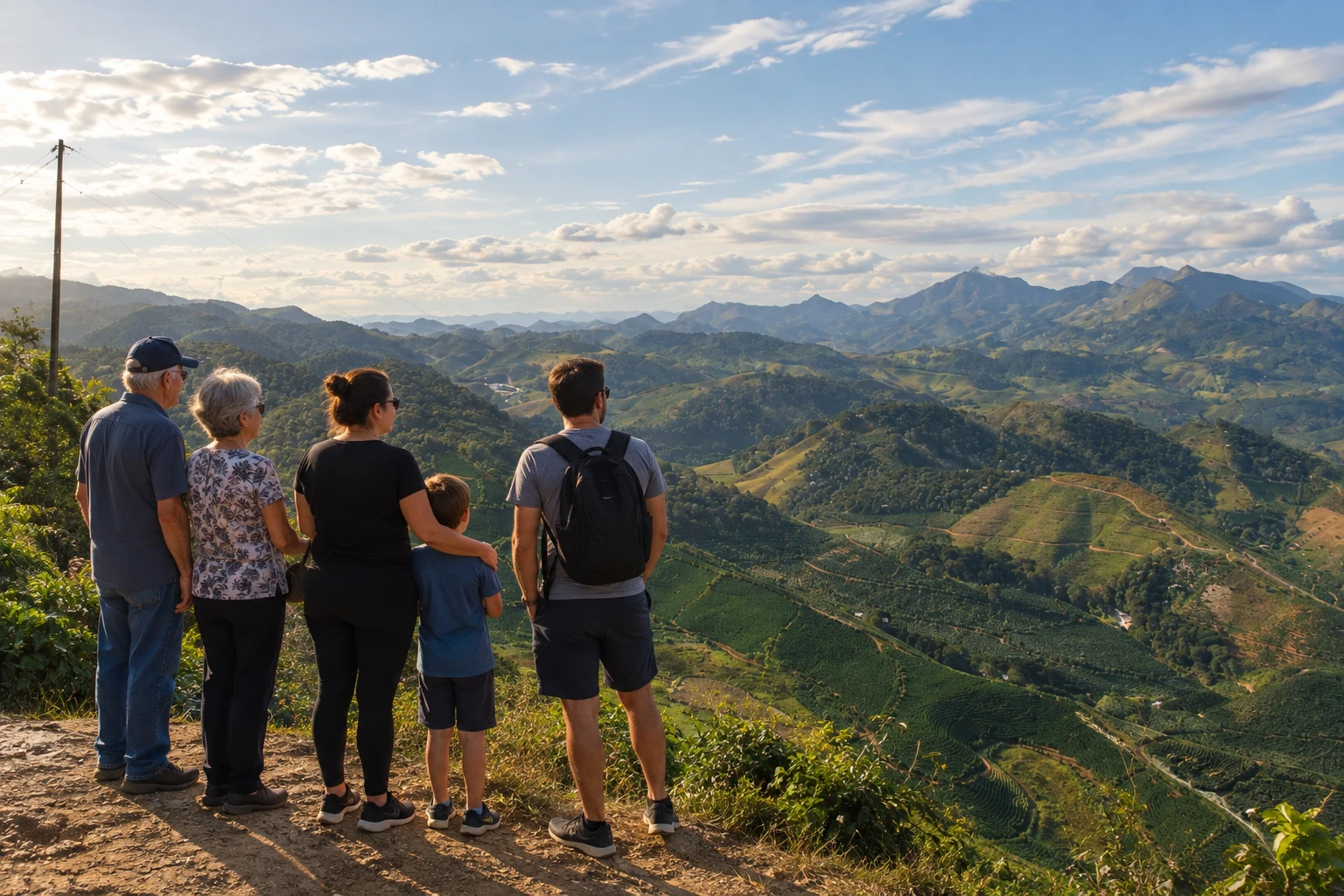
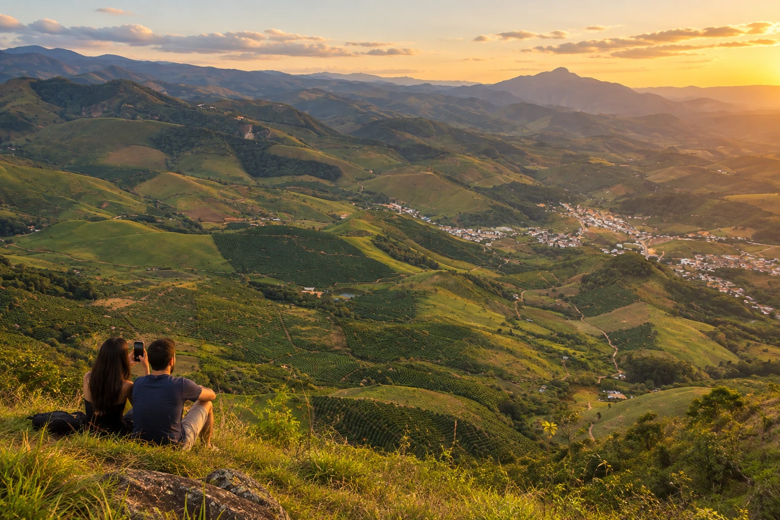
These pictures are illustrations based on the real place, not photographs. They may differ from the place.
Kliknite fotografijo za povečavo.
Spoznajte
O znamenitosti Pico do Urubu
Pico do Urubu (peak) is said to be the highest point in Conceição do Castelo, in the Espírito Santo mountains. It is in the rural community of Estreito, about 1,400 meters above sea level.
From the top you get a panoramic view of the town, the valleys covered in coffee fields and pasture, and the surrounding mountains. On cold mornings, a sea of clouds often covers the valleys below.
Access is by a steep dirt road, with uphill stretches that call for care. There are no tourist facilities at the top, such as a snack bar or built viewpoint: it is a sightseeing outing, for photos and taking in the scenery.
The place appeals to nature and photography lovers, especially at sunrise and sunset.
Pred odhodom
Praktične informacije
Cidade Turismo reviews its information regularly, but something may have changed. Check with the place before planning your trip.
Koliko časa si vzemite
Set aside one to two hours at the top, not counting the drive up the dirt road.
Najboljši čas
In fall and winter, which usually have clearer skies; at dawn, when there may be a sea of clouds in the valleys, or late in the afternoon, with softer light for photos.
Kako do tja
It is in the community of Estreito, about 9 km from the town of Conceição do Castelo, which is served by the BR-262. From town, take a local road to Estreito and then a steep dirt road to the top.
Nasvet
Avoid going up after heavy rain, when the dirt road gets slippery. Bring water, snacks and a jacket, because there are no facilities at the top and the wind is colder.
Odgovori na vaša vprašanja
Pogosta vprašanja – Pico do Urubu
How high is Pico do Urubu in Conceição do Castelo?
About 1,400 meters. It is said to be the highest point in the municipality.
Where is Pico do Urubu?
In the community of Estreito, about 9 km from the town of Conceição do Castelo, in Espírito Santo. Do not confuse it with the Pico do Urubu in Mogi das Cruzes, São Paulo.
Can you drive up?
Access is by a steep dirt road, with uphill stretches that call for care. On rainy days the road is harder; check conditions beforehand with the Conceição do Castelo town hall.
Are there facilities at the top of Pico do Urubu?
No. There is no snack bar or built viewpoint; bring water and snacks.
What's the best time to go?
At dawn, when there may be a sea of clouds in the valleys, or late in the afternoon, with softer light for photos.
Več kot vodnik


