Cachoeira do Tabuão
Odhod: Ouro Fino, heading toward the district of Crisólia by car and a short walk Pol dneva Dopoldne ali popoldne Lahko
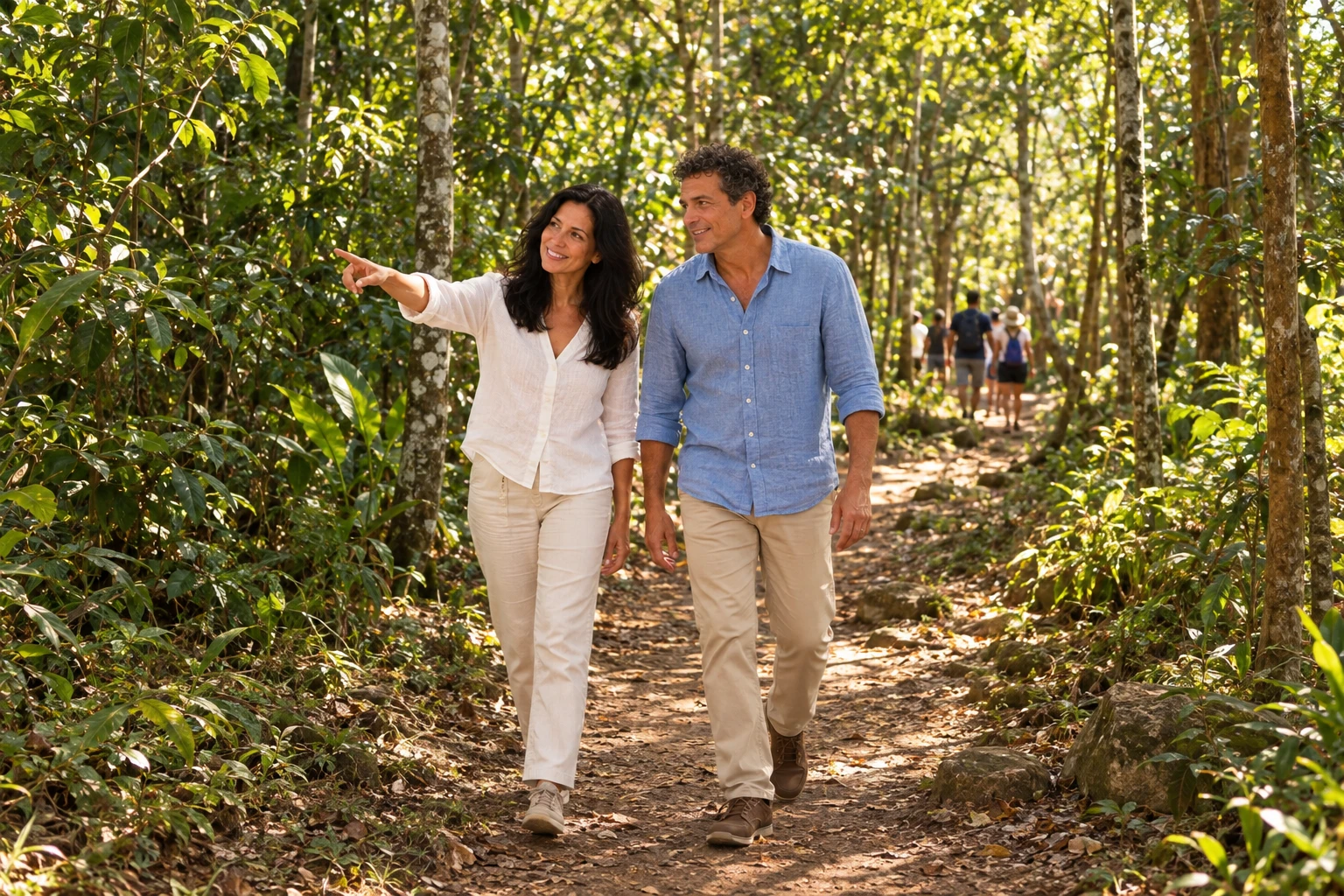
The waterfall is located in Bairro do Tabuão, in the district of Crisólia, about 16 km from Ouro Fino's center. It consists of several drops along roughly 900 meters, surrounded by Mata Atlântica. Access is via a municipal road toward Crisólia and then the district of São José do Mato Dentro, with a final unpaved stretch and a signposted turnoff. The visit is self-guided, no guide is required, and there is no entrance fee. It is the municipality's most visited natural attraction. Bring closed footwear for wet rocks and check the weather beforehand, as the final road is unpaved.
Kraji na poti: Cachoeira do Tabuão, Bairro do Tabuão, Distrito de Crisólia.
Vključuje: Free admission. Transportation to the site, snacks and water are the visitor's responsibility.
Nasvet: Go with your own car or arrange transport beforehand, because there is no regular bus service there. Bring snacks and carry your trash back. Avoid going on days of heavy rain.
Najboljši čas za obisk: Drier months offer firmer access. In summer, the water level rises.
Cachoeira do Pulo (Cambuizinho)
Odhod: Praça Tiradentes, Inconfidentes by car to the bairro Cambuizinho and a short walk Pol dneva Dopoldne ali popoldne Lahko
Also called Cachoeira do Cambuizinho, it has two large drops and a wide, flat area. There are spots for jumping into the water and others that are calmer, used by families with children. The path starts at Praça Tiradentes, goes down Avenida Alvarenga Peixoto to the MG-295 and turns right, toward Bueno Brandão. It continues to the bairro Pinhalzinho, turns left onto the access to bairro Boa Ventura and goes to the igreja do bairro Cambuí, where the access is. The visit is unguided and there is no entrance fee. It is the best-known waterfall in Inconfidentes.
Kraji na poti: Cachoeira do Pulo, Bairro Cambuizinho, Igreja do Cambuí.
Vključuje: No entrance fee. Transport, snacks and water are the visitor's responsibility.
Nasvet: Check the route on the map before you leave, because part of the way is rural. Bring footwear that can get wet. Tell someone your itinerary and download the offline map.
Najboljši čas za obisk: Warm days with no heavy rain.
Mirante do Santo Cruzeiro, in Borda da Mata
Odhod: Central squares of Borda da Mata by car or on foot, via a local road 1–2 uri Popoldne Lahko
The Morro do Santo Cruzeiro provides a panoramic view of Borda da Mata and houses an illuminated cross that can be seen from across the town. From the central squares, the route follows Avenida Alvarina Pereira Cintra toward the rural neighborhood of Contendas, then enters a local road with a sign. GPS users can enter Mirante de Santo Cruzeiro, Borda da Mata. The visit is self-guided and there is no charge for entry. Many people go at the end of the afternoon to watch the sunset. On Good Friday, the procession with the Stations of the Cross departs from the Basílica and climbs up to the lookout; the path can be steep.
Kraji na poti: Mirante do Santo Cruzeiro, Morro do Santo Cruzeiro, Bairro Contendas.
Vključuje: Free admission. Transport, water and snacks are the visitor's responsibility.
Nasvet: Bring water and allow enough time to return before it gets dark, because the road is a local/secondary road. If you go on foot, wear closed-toe shoes.
Najboljši čas za obisk: Late afternoon, for the sunset. During Holy Week there is a procession.
Caminho da Prece: Jacutinga a Borda da Mata
Odhod: Praça Delfim Moreira, former station, in Jacutinga on foot, along rural roads 2 days (71 km) Ves dan difficult
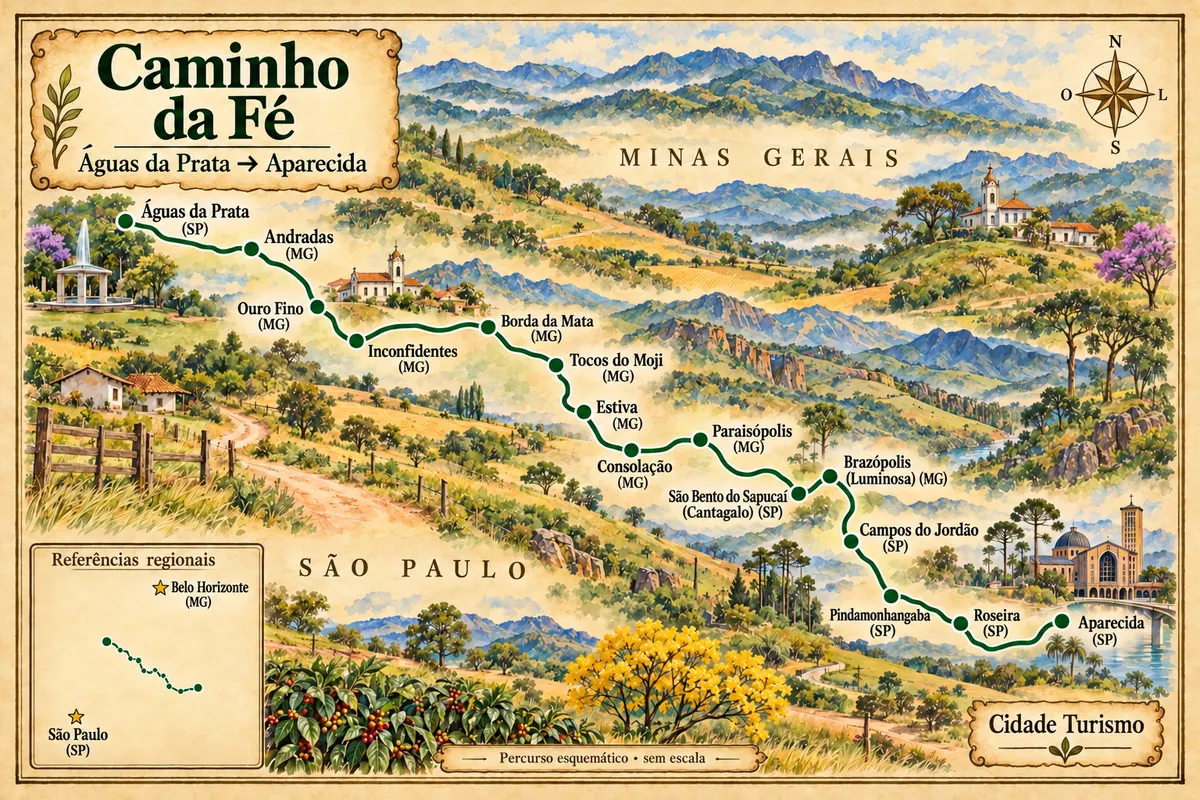
The Caminho da Prece is a 71 km pilgrimage route. It starts at the old railway station in Jacutinga and ends at the Basílica Nossa Senhora do Carmo in Borda da Mata. It follows rural roads through Ouro Fino, Inconfidentes and Tocos do Moji, without entering the centers of Ouro Fino and Tocos do Moji. It is usually done in two days, with about 38 km on the first day and 33 km on the second, and there are groups that split it into three stages. Pilgrims carry a credential that is stamped at support points. On arrival they receive a certificate of completion in Borda da Mata. The route can be done without a guide and without a support vehicle, but there are operators who organize supported groups. The section between Inconfidentes and Borda da Mata has the steepest ascents and descents.
Kraji na poti: Jacutinga, Bairro Ponte Preta, Bairro dos Peitudos, Inconfidentes, Tocos do Moji, Basílica Nossa Senhora do Carmo.
Vključuje: The route itself does not require a ticket. The credential, accommodation, meals, return transport and support vehicle, when hired, are paid separately and vary by organizer.
Nasvet: Book the guesthouse for the first night in advance and arrange the return to Jacutinga before you leave. Bring water, sunscreen and already-worn-in footwear. Follow the signage and download the offline map.
Najboljši čas za obisk: Drier, cooler months. Avoid weeks of heavy rain.
City Route in Borda da Mata: squares, old station and museum
Odhod: Praça Antônio Megale, downtown Borda da Mata on foot 1–2 uri Dopoldne ali popoldne Lahko
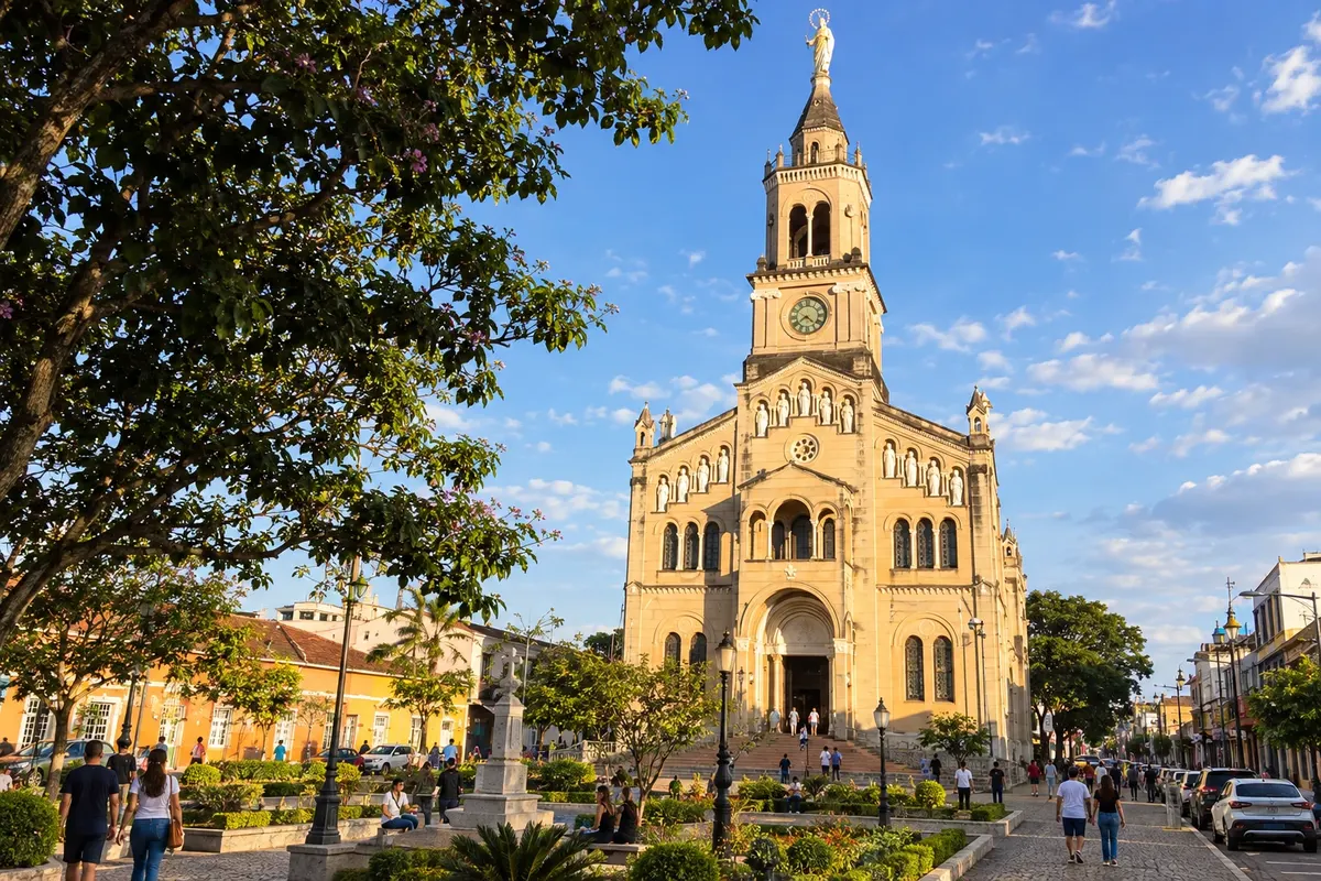
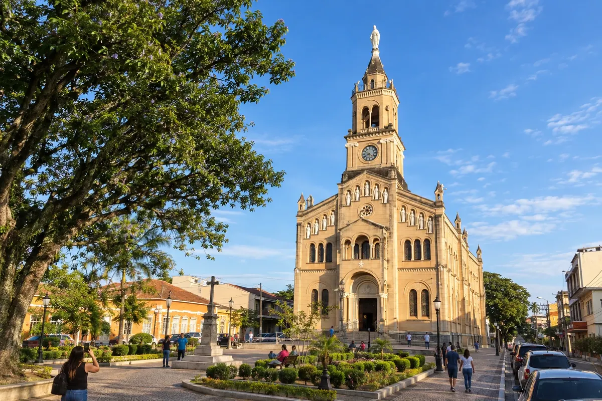
The Rota da Cidade brings together churches, squares, monuments and buildings that tell the history of Borda da Mata. The walk is on foot through the center, passing Praça Antônio Megale, Praça Nossa Senhora do Carmo and Praça Monsenhor Pedro Cintra, the Basílica and mansions listed as cultural heritage. The Antiga Estação Ferroviária and the Museu Fruto da Terra are part of the route and are connected to the local crafts. Other stops include Praça da Fonte and the Igreja São Judas Tadeu. It's a short walk that pairs well with the Rota Religiosa and with pajama shopping.
Kraji na poti: Praça Antônio Megale, Praça Nossa Senhora do Carmo, Praça Monsenhor Pedro Cintra, Antiga Estação Ferroviária, Museu Fruto da Terra.
Vključuje: Free, unregulated route with no entrance fee. Snacks and craft purchases are paid separately. Check the museum's opening hours before you go.
Nasvet: Do this route in the middle of a shopping day to rest between one shop and another. Comfortable footwear helps, as there are stretches of uneven sidewalk.
Najboljši čas za obisk: Vse leto.
Centro de Cultura Colônia, in Inconfidentes
Odhod: Av. Alvarenga Peixoto, 136, Inconfidentes on foot Približno 1 uro Dopoldne ali popoldne Lahko
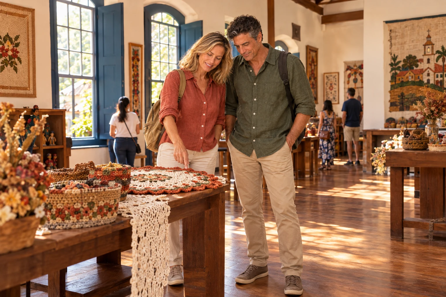
The Centro de Cultura Colônia is on Avenida Alvarenga Peixoto and preserves the historical and cultural memory of Inconfidentes. The visit is short and helps to understand the town before or after shopping for crochet and knitwear. The venue also hosts craft courses, including crochet. It's on the same avenue as the crochet trees and the shops, so you can walk there as part of your shopping route.
Kraji na poti: Centro de Cultura Colônia, Av. Alvarenga Peixoto.
Vključuje: Check with the venue whether there is an admission fee and which days it is open to visitors. Purchases and snacks at neighboring shops are paid separately.
Nasvet: Call or check the city's tourism page before you go to confirm whether the venue is open that day. Plan the visit for before lunch.
Najboljši čas za obisk: Vse leto.
Cachoeira do Poção, in Inconfidentes
Odhod: Praça Tiradentes, Inconfidentes by car to the Porantava neighborhood and a short hike Pol dneva Dopoldne ali popoldne Lahko
The Cachoeira do Poção has a small drop, clear waters, rocks and shallow pools for bathing. The access trail is short. The place is calm and is used by people seeking meditation and yoga. The path starts at Praça Tiradentes, goes down Avenida Alvarenga Peixoto to the MG-295, turns left to the junction and then right, heading toward Borda da Mata. The entrance to the bairro Porantava is at km 39, at the Espaço Country sign, near the ponte do Nelson Rufino. The visit is unguided and there is no entrance fee.
Kraji na poti: Cachoeira do Poção, Bairro Porantava.
Vključuje: Free admission. Transport, water and snacks are the visitor's responsibility.
Nasvet: The area is remote and cell signal is weak. Go accompanied, let someone know your route and download the offline map beforehand. Wear closed shoes for the rocks.
Najboljši čas za obisk: Dry, warm days, when access is more stable.
Pedra do Itaguaçu, in Ouro Fino
Odhod: Ouro Fino, along an unpaved road heading to Itaguaçu 4x4, motorcycle or on foot 2 to 4 hours, depending on your pace Dopoldne Zmerno zahtevno
Pedra do Itaguaçu is about 15 km from Ouro Fino's urban area via an unpaved road. The last 2 km are steep and regular cars have difficulty; motorcycles and 4x4s reach the first rock. From there, on a clear day, you can see the rural area of Ouro Fino and, in the distance, Crisólia, Jacutinga, Inconfidentes and Borda da Mata. A short climb through dense forest leads to the second rock, about 100 m higher. There are also reports of a loop trail of roughly 2 hours. The site is used for wild camping, but you need to go prepared.
Kraji na poti: Pedra do Itaguaçu, First rock, Second rock, Estrada do Itaguaçu.
Vključuje: There are no visitor facilities. Transport, water and snacks are the visitor's responsibility. Check in advance whether there is an access fee for private property.
Nasvet: Go by 4x4 or motorcycle, or leave your car before the steep section and walk up. Bring water, hiking shoes and download the offline map. If you don't know the area, hire a local guide.
Najboljši čas za obisk: Dry, clear-sky days for the view.
Trilha da Torre do Monjolinho, in Inconfidentes
Odhod: Inconfidentes on foot, by motorcycle or by 4x4 Pol dneva Dopoldne Zmerno zahtevno
The Torre do Monjolinho is one of Inconfidentes' trail attractions and offers views of the region. Access requires effort: to get there it's best to go by motorcycle or by a 4x4 vehicle, or to climb on foot up the serra. The Caminho das Capelas passes by the Mirante da Torre, about 7 km from the main church, after ascending the Serra do Monjolinho. Since the climb is long, it's advisable to leave early and bring water.
Kraji na poti: Torre do Monjolinho, Mirante da Torre, Serra do Monjolinho.
Vključuje: There are no visitor facilities or guide included. Transport, water and snacks are the visitor's responsibility.
Nasvet: If you don't know the way, go with a local guide or in a group. Download the offline map. Avoid climbing on rainy days when the ground is slippery.
Najboljši čas za obisk: Dry months, in the morning, with clear skies.
Caminho das Capelas, in Inconfidentes
Odhod: Igreja Matriz São Geraldo Majela, Inconfidentes on foot or by bicycle, as a circuit 3 days (75 km) Ves dan difficult
The Caminho das Capelas is a 75 km circular route that starts and ends at the Igreja Matriz São Geraldo Majela. The route passes by about 30 chapels, holy crosses and oratories of Inconfidentes and the neighboring Bom Repouso and Tocos do Mogi. The route follows dirt roads through coffee fields and is marked by totems, arrows and stars. On foot it takes three days. On the first day the hiker climbs the Serra da Grama, with views over the valley of the Rio Mogi Guaçu, and passes the Cachoeira Dois Pulos in the Cambuizinho neighborhood. It can also be done by bicycle. The credential and certificate are picked up at the Paróquia São Geraldo Majela office.
Kraji na poti: Igreja Matriz São Geraldo Majela, Serra da Grama, Cachoeira Dois Pulos, Bairro Cambuizinho, Bom Repouso, Tocos do Mogi.
Vključuje: The route does not require an entrance ticket. The credential, lodging, meals and transfers are paid separately. There are groups organized by agencies, with their own conditions.
Nasvet: Book accommodation for each night in advance. Bring water, sunscreen and download the offline map. Check the route's official website or the parish office for current contact information.
Najboljši čas za obisk: Drier, cooler months. Avoid weeks of heavy rain.
Caminho de Graças & Prosas: circuit from Inconfidentes to Ouro Fino
Odhod: Main church square, Inconfidentes on foot or by bicycle, as a circuit about 6 days (123 km) Ves dan difficult
The Caminho de Graças & Prosas is a 123 km circular route, almost entirely on dirt roads. It passes through Inconfidentes, Bueno Brandão, Bom Repouso, Tocos do Moji, Borda da Mata and Ouro Fino. The official start is at the main square of the matriz church in Inconfidentes. The sections are: Inconfidentes to Bueno Brandão, 26 km; Bueno Brandão to Bom Repouso, 29 km; Bom Repouso to Tocos do Moji, 16 km; Tocos do Moji to Borda da Mata, 18 km; and Borda da Mata to Ouro Fino, 27 km. You can finish in Ouro Fino or close the circuit with another 7 km back to Inconfidentes. The elevation gain exceeds 3,500 meters and the difficulty level is high. The signage has signs every kilometer. The organizers state that the credential and certificate are issued only to those who start in Inconfidentes.
Kraji na poti: Inconfidentes, Bueno Brandão, Bom Repouso, Tocos do Moji, Borda da Mata, Ouro Fino, Basílica Nossa Senhora do Carmo, Santuário São Francisco de Paula e Nossa Senhora de Fátima.
Vključuje: The route does not have an entrance fee. The credential, lodging, meals and transfers are paid separately.
Nasvet: Plan your stages and book inns in advance. Download the GPX and the offline map. If you want the credential and the certificate, start in Inconfidentes.
Najboljši čas za obisk: Drier, cooler months; check the weather forecast before each stage.
Borda da Mata Adventure Route
Odhod: Borda da Mata (rural area) on foot, bicycle, motorcycle or off-road vehicle half day to full day, depending on the route morning and afternoon depends on the route
The Adventure Route brings together trails, rural roads and paths of Borda da Mata, organized into seven routes totaling about 150 km. They can be done on foot, by bicycle, by motorcycle or by off-road vehicle. Three trails were signposted at the start of the project: Pesqueiro/Cruzeiro, 21 km; Volta do Darney, 25 km; and Pedra do Retiro, 25 km. The Pesqueiro/Cruzeiro route goes by Morro do Santo Cruzeiro, the town's lookout. The route follows rural roads, and visitors will see crops, rural neighborhoods and mountain views.
Kraji na poti: Pesqueiro/Cruzeiro, Volta do Darney, Pedra do Retiro, Morro do Santo Cruzeiro.
Vključuje: There is no single operator. Guide, transport and meals, when contracted, are paid separately.
Nasvet: Ask for the map and trail files at the tourism office before you set out and confirm whether the routes are signposted. Bring water, snacks and download the map for offline use. The routes are 21 to 25 km long, so plan your timing.
Najboljši čas za obisk: Dry, cool months, preferably starting early.


 Antarktika
 Argentina
 Bolivija
 Čile
 Kolumbija
 Ekvator
 Gvajana
 Francoska Gvajana
 Falklandski otoki (Malvini)
 Paragvaj
 Peru
 Surinam
 Urugvaj
 Venezuela
 Nemčija
 Avstrija
 Belgija
 Hrvaška
 Danska
 Slovaška
 Slovenija
 Španija
 Finska
 Francija
 Grčija
 Nizozemska
 Madžarska
 Irska
 Islandija
 Italija
 Luksemburg
 Norveška
 Poljska
 Portugalska
 Združeno kraljestvo
 Češka
 Švedska
 Švica
 Turčija
 Bermudi
 Kanada
 Združene države Amerike
 Grenlandija
 Mehika
 Sveta Peter in Mihael
 Dominikanska republika
 Japonska
 Južnoafriška republika
 Egipt
 Avstralija
 Fidži
 Nova Zelandija
 Papua Nova Gvineja