Kavieng and New Ireland

New Ireland · Papua Nova Gvineja

Kavieng and New Ireland

The northern tip of New Ireland: diving in channels and World War II wrecks, reef surf from November to April, and the Boluminski Highway along the east coast.

Islands Region

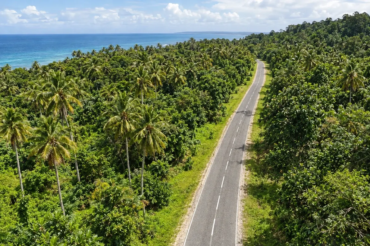
Na fotografiji: Boluminski Highway, New Ireland

Illustrative images. The pictures in this guide are illustrations based on the real place, not photographs, and may differ from it.

Na voljo v trgovini Google Play Pošljite svoje fotografije

Spoznajte kraj

Pokrajina, ki jo doživite
v svojem ritmu.

Kavieng sits at the northern end of New Ireland, a long narrow island in northeastern Papua New Guinea. The town occupies Balgai Bay, facing an archipelago of islets that separate it from New Hanover (Lavongai), and was founded by the German administration in 1900.

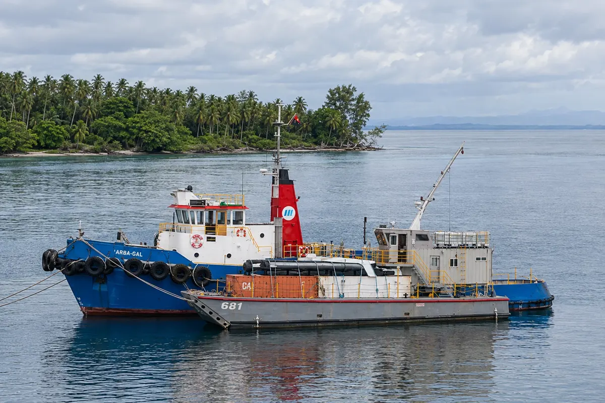
The currents running between New Ireland and New Hanover nourish reefs teeming with life, and Kavieng has more than 20 recognized dive sites, with current-swept channels, coral and planes and ships sunk during World War II. From November to April, northwest swells bring reef waves sought by surfers.

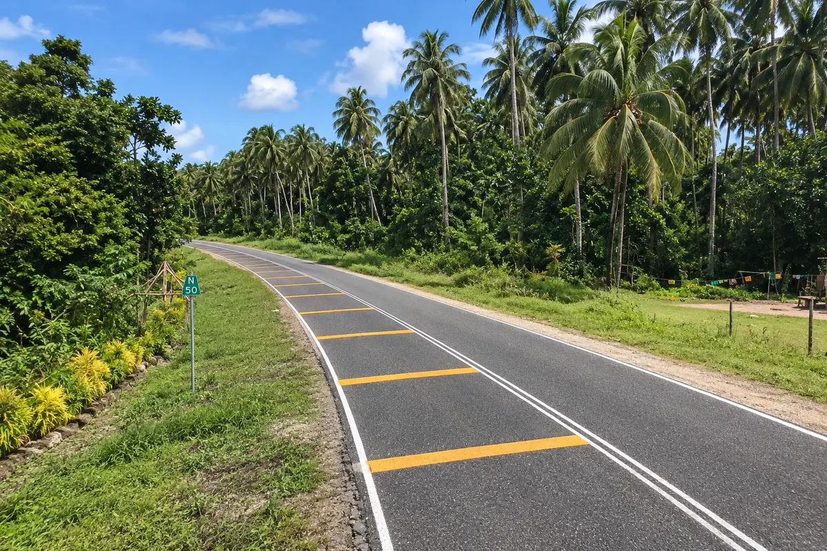
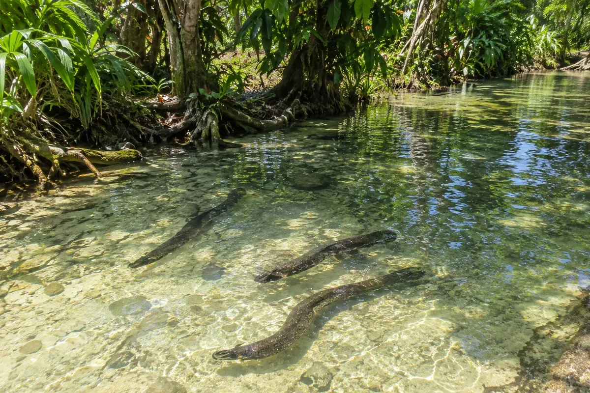
On land, the Boluminski Highway follows the east coast for about 293 km, passing beaches, villages and coconut plantations on the way to Namatanai. Along the route, the village of Laraibina welcomes visitors to see the sacred eels in a stream, and there are freshwater bathing holes, such as Fissoa.

New Ireland is the land of malagan carvings, made for ceremonies honoring the dead, and of tatanua mask dances. In Kavieng, a Japanese cannon mounted on a bunker along Harbour Road recalls the occupation from 1942 to 1945.

This destination brings together 1 city: Kavieng.

Delite: WhatsApp
Delite svoja popotniška doživetja s fotografijami Pošljite fotografije vsakega kraja, ki ste ga obiskali. Največje število fotografij na kraj: 5.

Ena destinacija, več poti

Mesta na tej poti

Začnite v enem mestu ali v načrt poti vključite več mest.

Kavieng and New Ireland – lega
Kavieng

Meje: Papua New Guinea National Statistics Office / OCHA ROAP / geoBoundaries (CC BY 3.0 IGO). Priredba: Cidade Turismo.

Kako do tja:Kavieng and New Ireland

✈ Aeroporto de Kavieng (KVG)· 3 km do cilja (Kavieng)

Kavieng Airport (KVG), close to town, has daily flights from Port Moresby. From Kavieng the Boluminski Highway follows the east coast, and nearby islands are reached by boat.

Doživite kraj

Kaj početi – Kavieng and New Ireland

Boluminski Highway
Kavieng · New Ireland · Scenic road

Boluminski Highway

A paved road of about 293 km along New Ireland’s east coast, from Kavieng to Namatanai, passing beaches, villages and coconut plantations, popular for cycling trips.

Laraibina Eel Sanctuary
Kavieng · New Ireland · Nature and culture

Laraibina Eel Sanctuary

Stream at the village of Laraibina on the east coast of New Ireland, where large freshwater eels, considered sacred by the community, come to be fed.

Kavieng · New Ireland · Historic site

Japanese gun (Harbour Road, Kavieng)

Large World War II gun mounted atop a bunker on Harbour Road in Kavieng, one of the remains of the Japanese occupation of New Ireland between 1942 and 1945.

Pred odhodom

Praktične informacije

Z nekaj načrtovanja boste imeli več časa za uživanje na poti.

Kdaj se odpraviti

It’s hot and it rains frequently year-round. The surf season runs from November to April; from May to October the sea is often calmer along parts of the coast, which favors diving and boat trips.

The seasons shown are the most usual ones; nature doesn't always follow the calendar.

Koliko dni ostati

Three or four days for diving or surfing based in Kavieng, plus a trip along the Boluminski Highway to Laraibina. If you want to ride the entire highway by bicycle you’ll need several more days.

V katerem mestu prenočiti

Kavieng concentrates accommodation in the town center and along the bay, near the airport. There are also lodgings on nearby islands reached by boat, and guesthouses along the Boluminski Highway for travelers following the east coast.

Spoštujte kraj

Odnesite svoje odpadke, upoštevajte oznake in podprite lokalne ponudnike. V naravi upoštevajte navodila za obiskovalce.

Odgovori na vaša vprašanja

Pogosta vprašanja – Kavieng and New Ireland

When is the surf season in Kavieng?

From November to April, when northwest swells arrive. The waves break on the reefs of nearby islands, reachable by boat with local operators.

Is Kavieng good for diving?

Yes. There are more than 20 recognized dive sites, with current channels, coral and planes and ships sunk during World War II.

Can you cycle the Boluminski Highway?

Yes. The paved road follows the east coast for about 293 km, from Kavieng to Namatanai, with mostly flat terrain for much of the route and simple accommodations in the villages.

How many days should you stay in Kavieng?

Three or four days for diving or surfing and a trip along the Boluminski Highway. For the entire highway, allow several more days.

Odkrijte druge destinacije Iskanje po zvezni državi in mestu

Več kot vodnik