

 Antarktika
 Argentina
 Bolivija
 Čile
 Kolumbija
 Ekvator
 Gvajana
 Francoska Gvajana
 Falklandski otoki (Malvini)
 Paragvaj
 Peru
 Surinam
 Urugvaj
 Venezuela
 Nemčija
 Avstrija
 Belgija
 Hrvaška
 Danska
 Slovaška
 Slovenija
 Španija
 Finska
 Francija
 Grčija
 Nizozemska
 Madžarska
 Irska
 Islandija
 Italija
 Luksemburg
 Norveška
 Poljska
 Portugalska
 Združeno kraljestvo
 Češka
 Švedska
 Švica
 Turčija
 Bermudi
 Kanada
 Združene države Amerike
 Grenlandija
 Mehika
 Sveta Peter in Mihael
 Dominikanska republika
 Japonska
 Južnoafriška republika
 Egipt
 Avstralija
 Fidži
 Nova Zelandija
 Papua Nova Gvineja
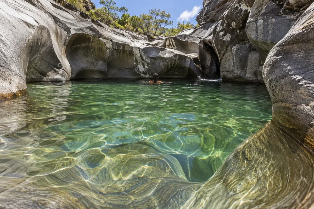
rock formation · Alto Paraíso de Goiás, GO
Vale da Lua
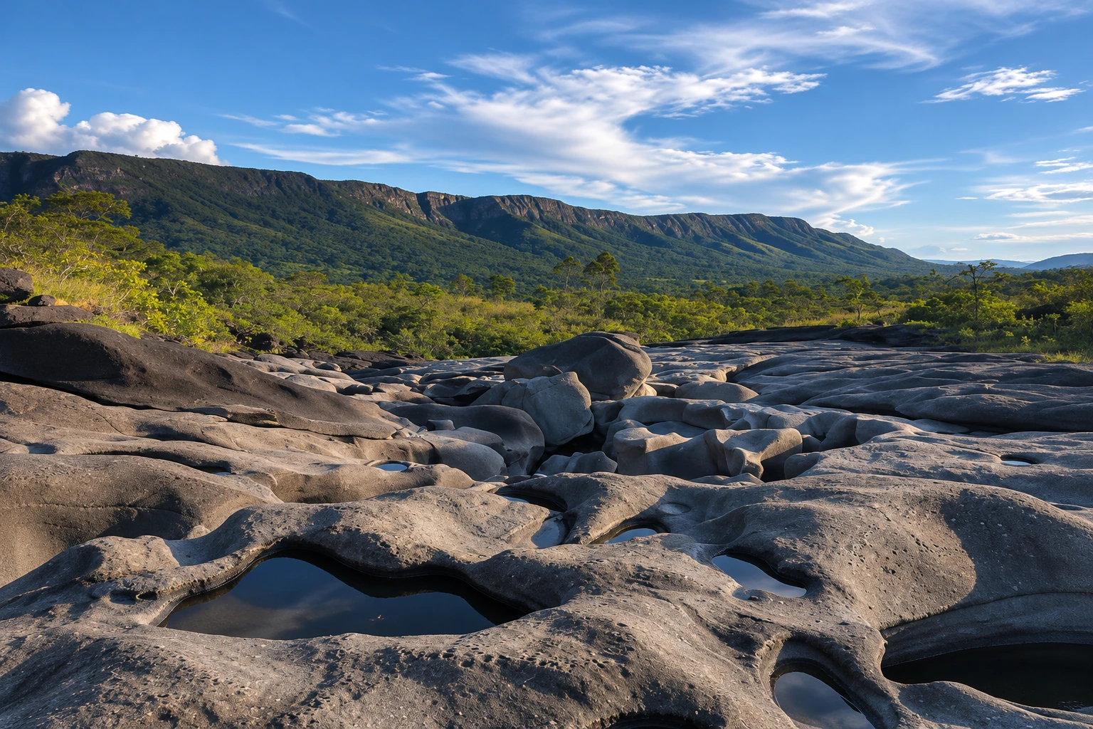
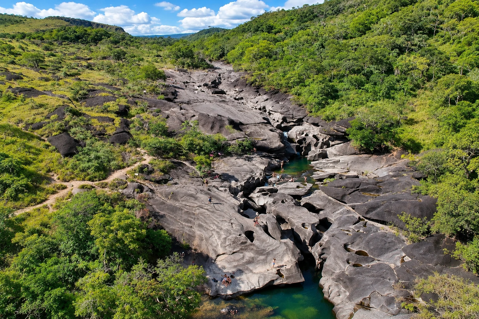
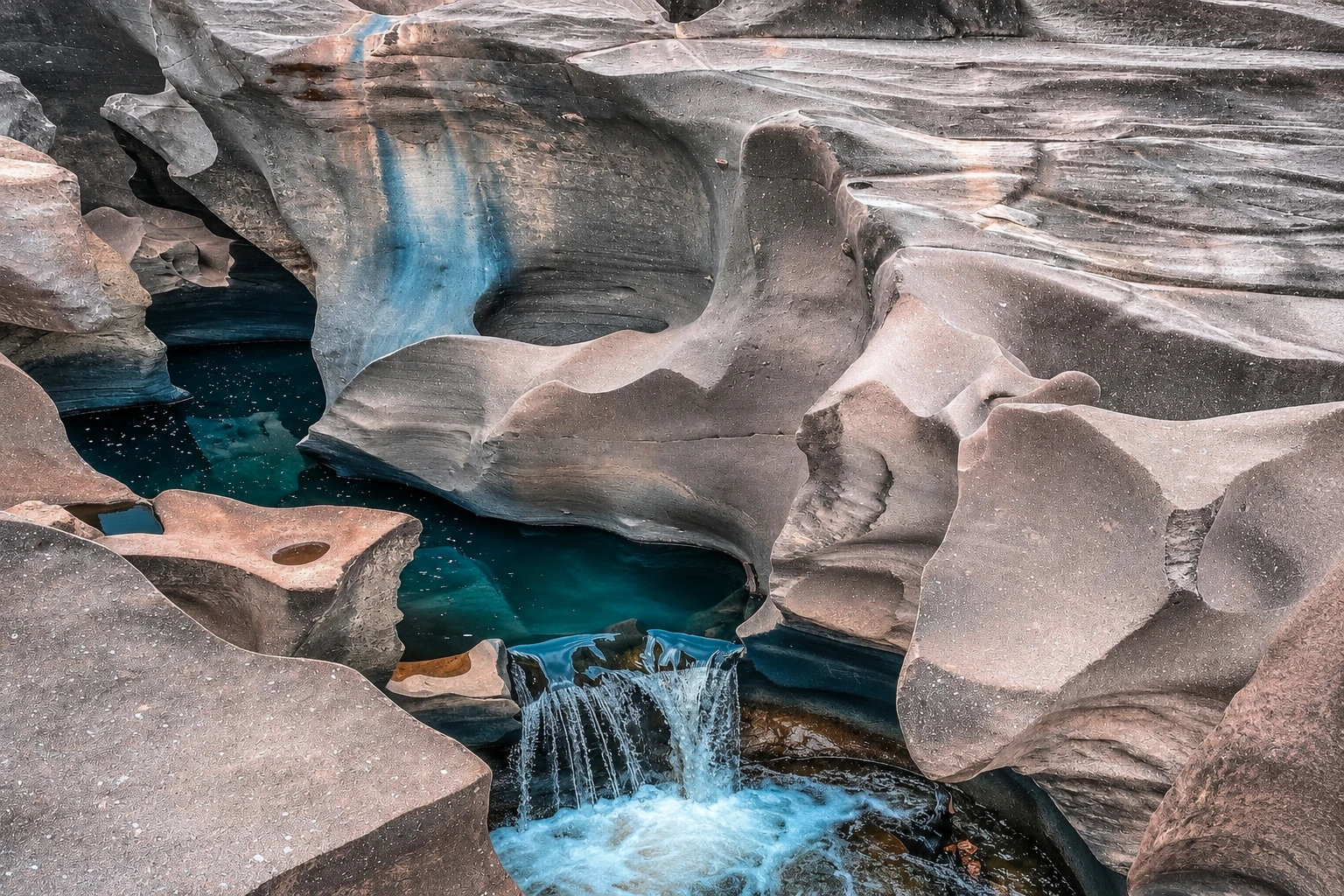
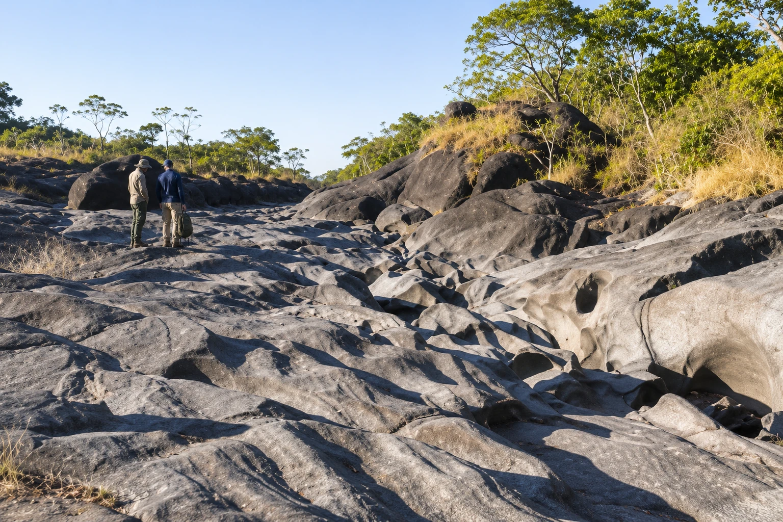
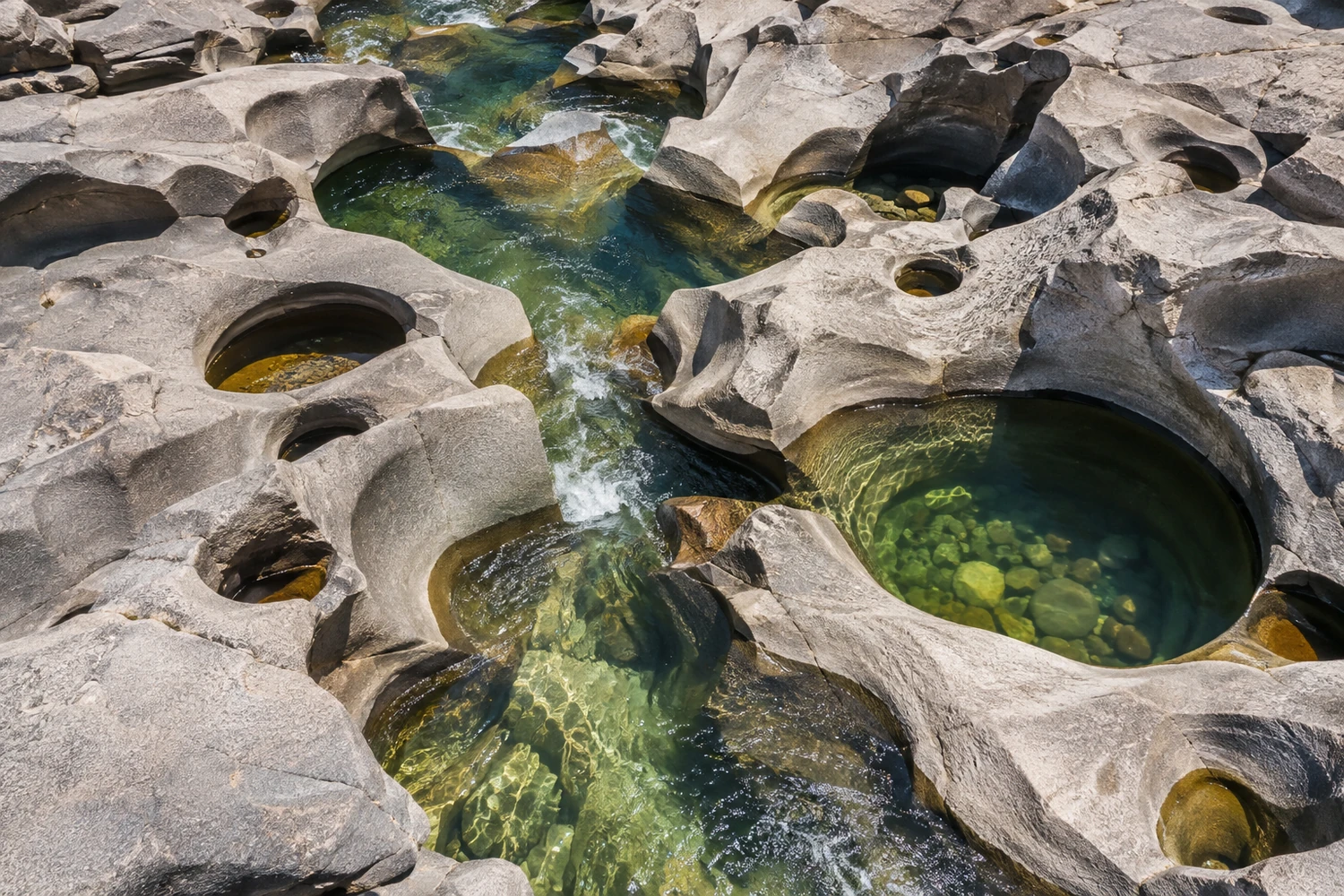
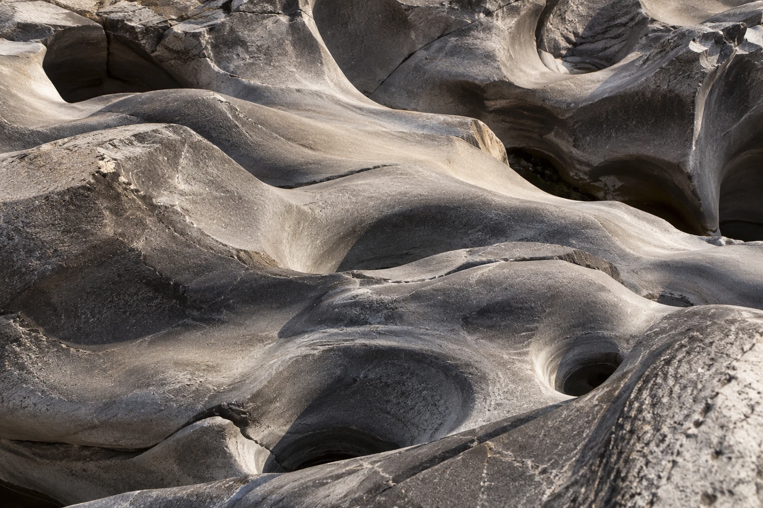
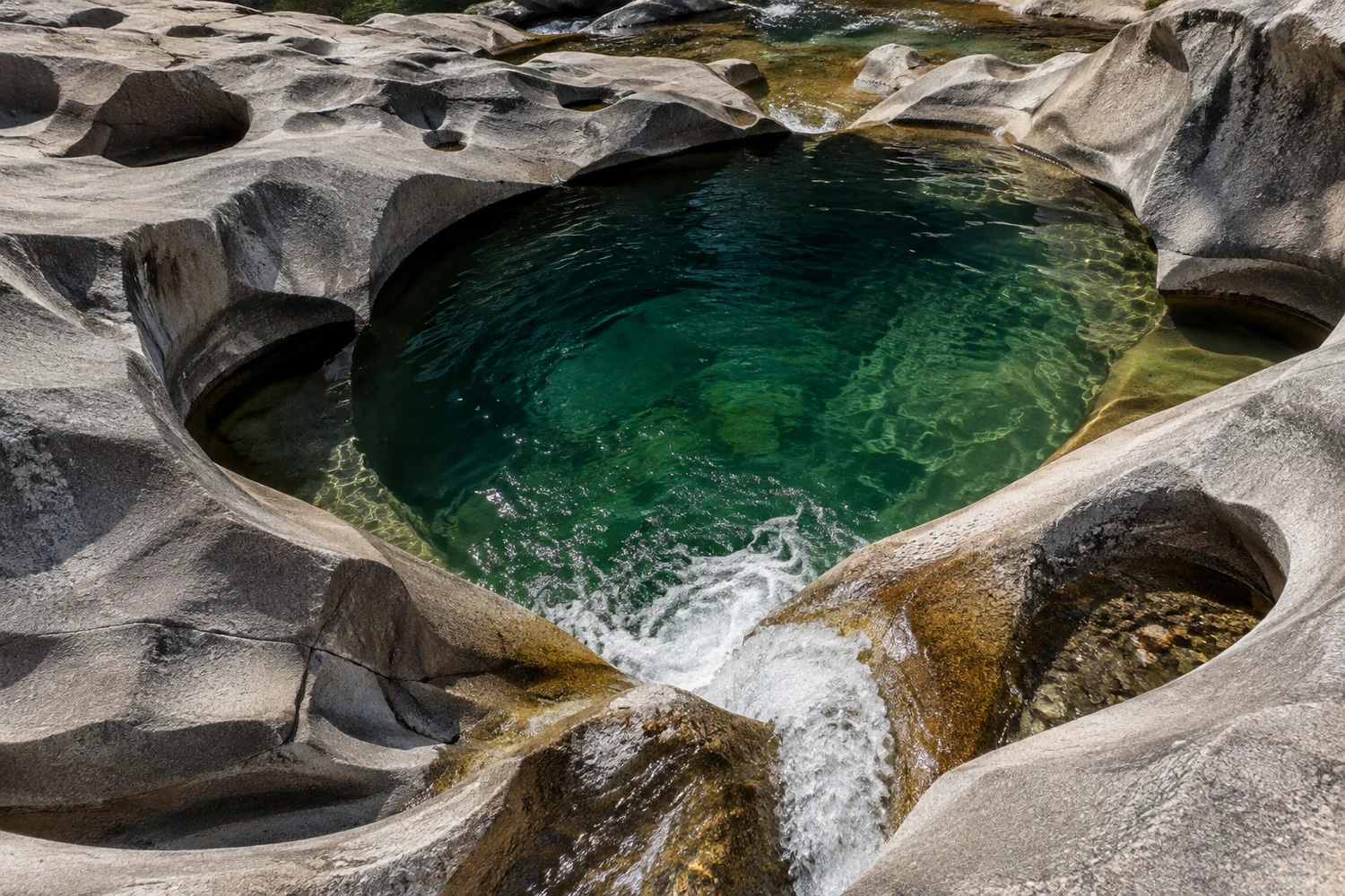
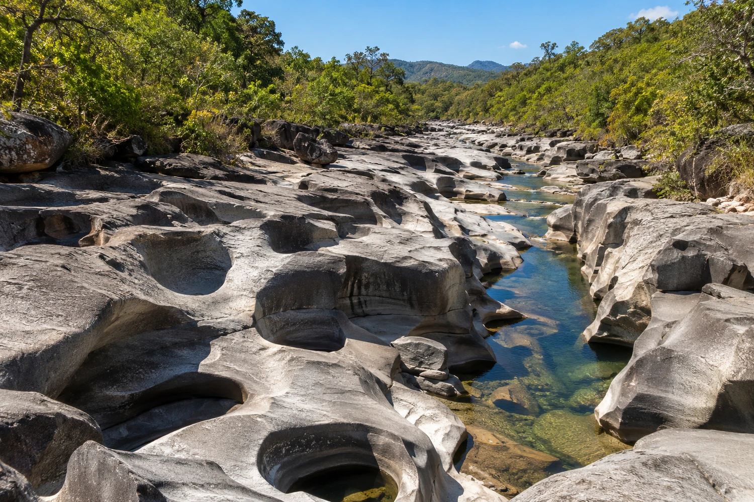
A rocky riverbed sculpted by the Rio São Miguel into curves and craters that resemble the surface of the moon. In the dry season you can walk among the formations and swim in the pools.
Illustrative images. The pictures in this guide are illustrations based on the real place, not photographs, and may differ from it.


Pogled na kraj
Vale da Lua v slikah
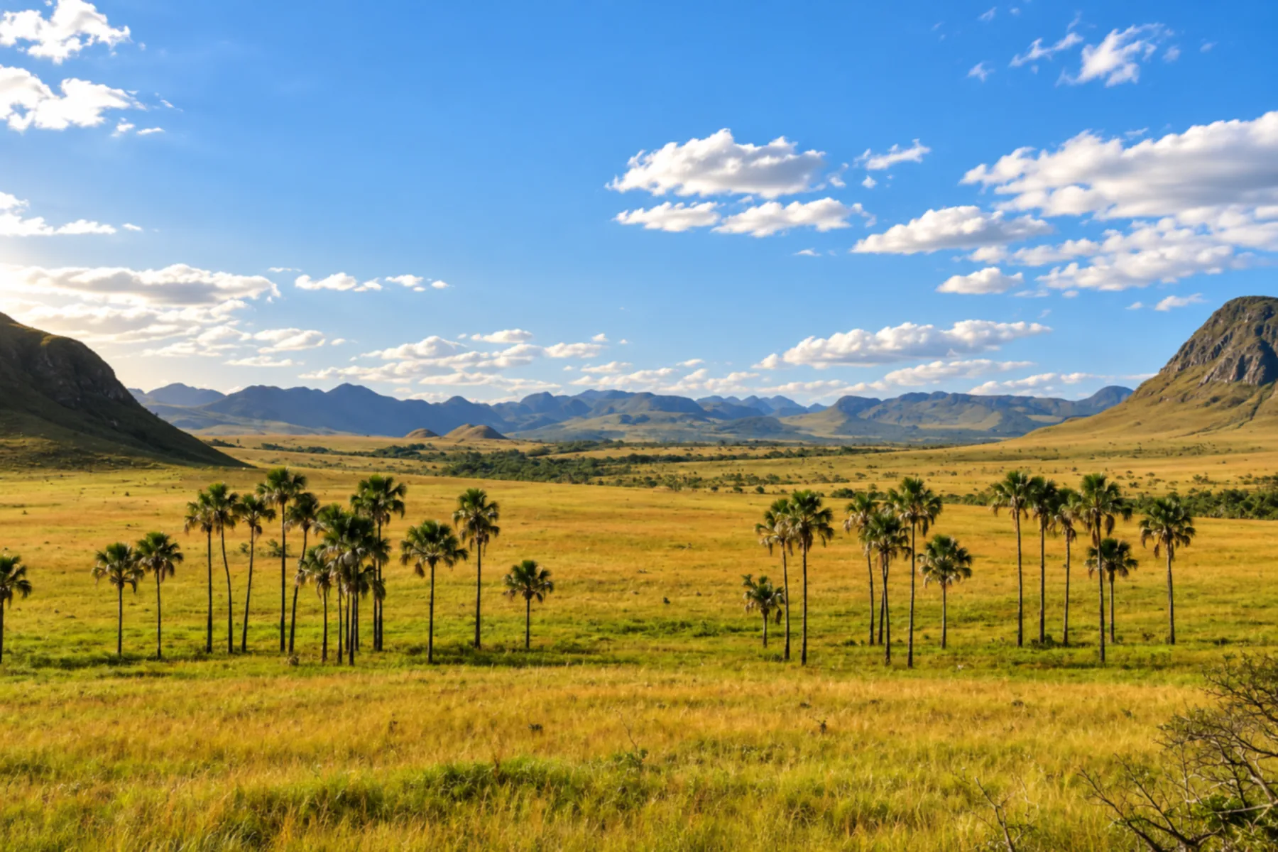
These pictures are illustrations based on the real place, not photographs. They may differ from the place.
Kliknite fotografijo za povečavo.
Spoznajte
O znamenitosti Vale da Lua
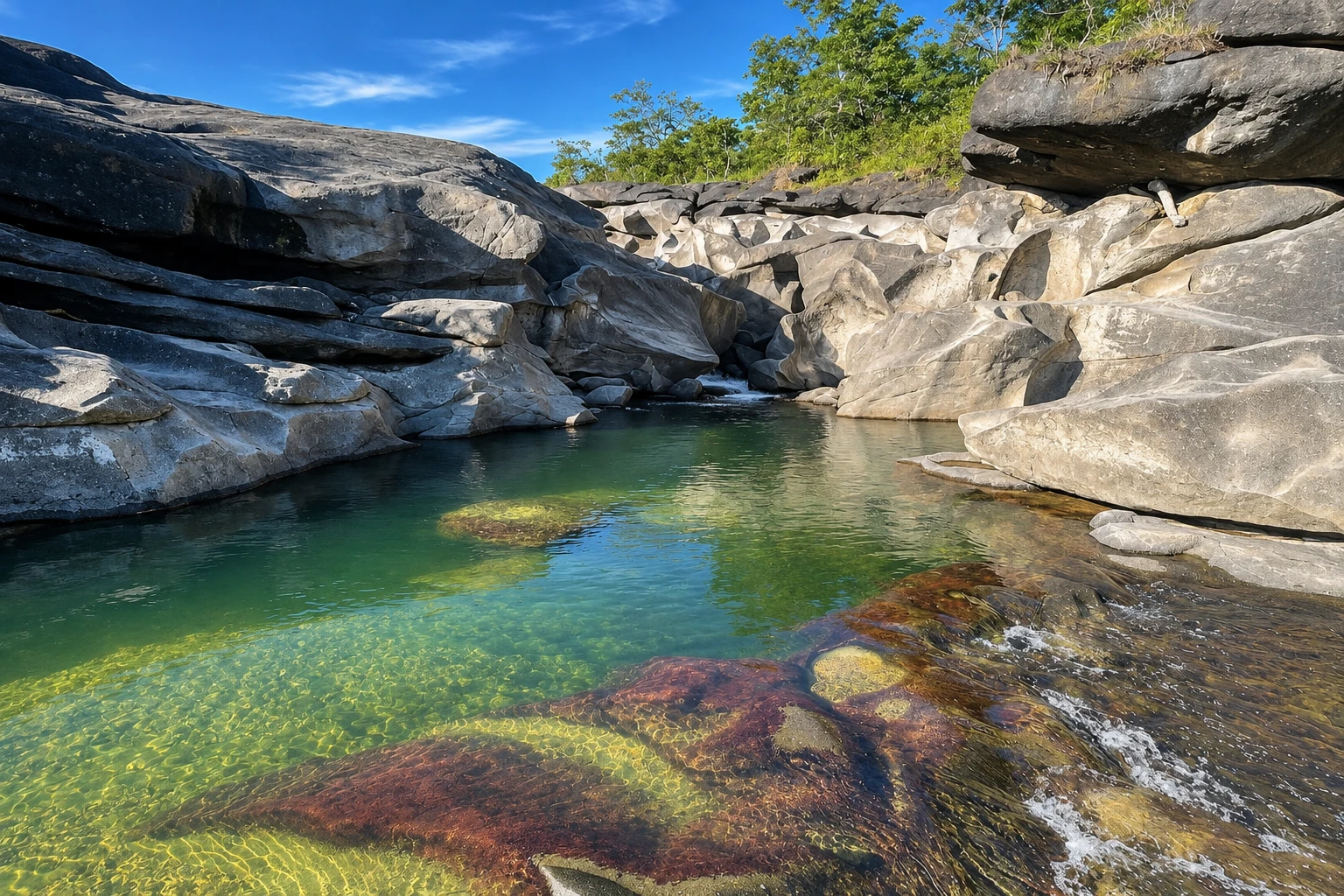
The Vale da Lua is a stretch of the Rio São Miguel where the water has sculpted the rock into curves, pools and smooth craters. The stone is a very old conglomerate, from the Proterozoic era, rich in carbonate: the force of the current and the dissolving of the mineral opened the holes that resemble the surface of the moon. The formation runs along about 400 meters of the river. In the rainy season, the water covers much of the rock; in the dry season, it's exposed.
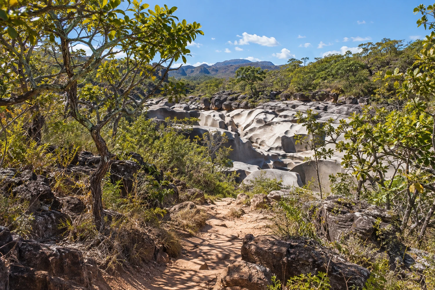
It's on private property next to the Parque Nacional da Chapada dos Veadeiros, between São Jorge and Alto Paraíso. Admission is charged at the farm itself, and the trail to the formations is short, easy and signposted, with no need for a guide. São Jorge, the village at the national park entrance, is nearby, and many people fit the Vale da Lua in on the way back from a hike.
There you walk over the rocks, photograph the craters and swim in the approved pools. The ground is uneven and slippery, and the edges are deceptive: there are deep pools and strong currents in some spots, even on sunny days. There are fire brigade staff on site.
The biggest risk is the cabeça d'água, the sudden rise of the river caused by rain at the headwaters, sometimes far away. In 2021, a guide filmed one at the Vale da Lua itself, and the site was closed off. With rain or heavy clouds, the advice is to move away from the river without waiting.
Pred odhodom
Praktične informacije
Cidade Turismo reviews its information regularly, but something may have changed. Check with the place before planning your trip.
Koliko časa si vzemite
Half a day.
Najboljši čas
The dry season, from May to September, when the river is lower and the risk of flash floods is smaller. Avoid rainy days.
Kako do tja
Via GO-239, between Alto Paraíso and São Jorge, with the final stretch on a dirt road of about 4 km to the entrance. You can drive there on your own.
Nasvet
Only go into the water at the approved pools and get out of the river at the first sign of rain, even if the sky above you is clear.
Odgovori na vaša vprašanja
Pogosta vprašanja – Vale da Lua
Is the Vale da Lua inside the National Park?
No. It's on private property next to the park, between São Jorge and Alto Paraíso. Admission is charged at the farm.
Is a guide required?
No. The trail to the formations is short, easy and signposted.
Can you swim there?
Only in the approved pools. There are deep pools and strong currents in some spots, and when it rains you must get out of the river.
What's the best time of year?
The dry season, from May to September, when the river is lower and the rocks are exposed.
Več kot vodnik


