

 Antarktika
 Argentina
 Bolivija
 Čile
 Kolumbija
 Ekvator
 Gvajana
 Francoska Gvajana
 Falklandski otoki (Malvini)
 Paragvaj
 Peru
 Surinam
 Urugvaj
 Venezuela
 Nemčija
 Avstrija
 Belgija
 Hrvaška
 Danska
 Slovaška
 Slovenija
 Španija
 Finska
 Francija
 Grčija
 Nizozemska
 Madžarska
 Irska
 Islandija
 Italija
 Luksemburg
 Norveška
 Poljska
 Portugalska
 Združeno kraljestvo
 Češka
 Švedska
 Švica
 Turčija
 Bermudi
 Kanada
 Združene države Amerike
 Grenlandija
 Mehika
 Sveta Peter in Mihael
 Dominikanska republika
 Japonska
 Južnoafriška republika
 Egipt
 Avstralija
 Fidži
 Nova Zelandija
 Papua Nova Gvineja
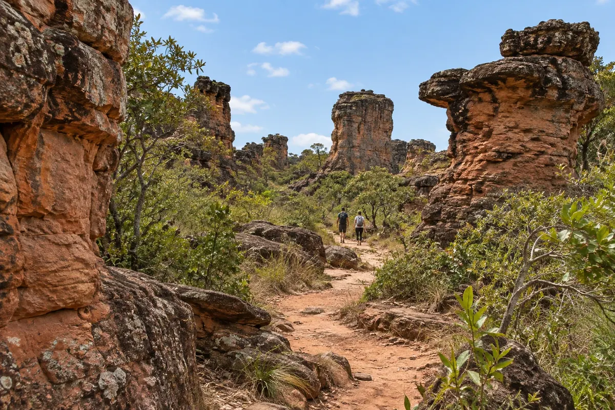
viewpoint / rock formation · Chapada dos Guimarães, MT
Cidade de Pedra
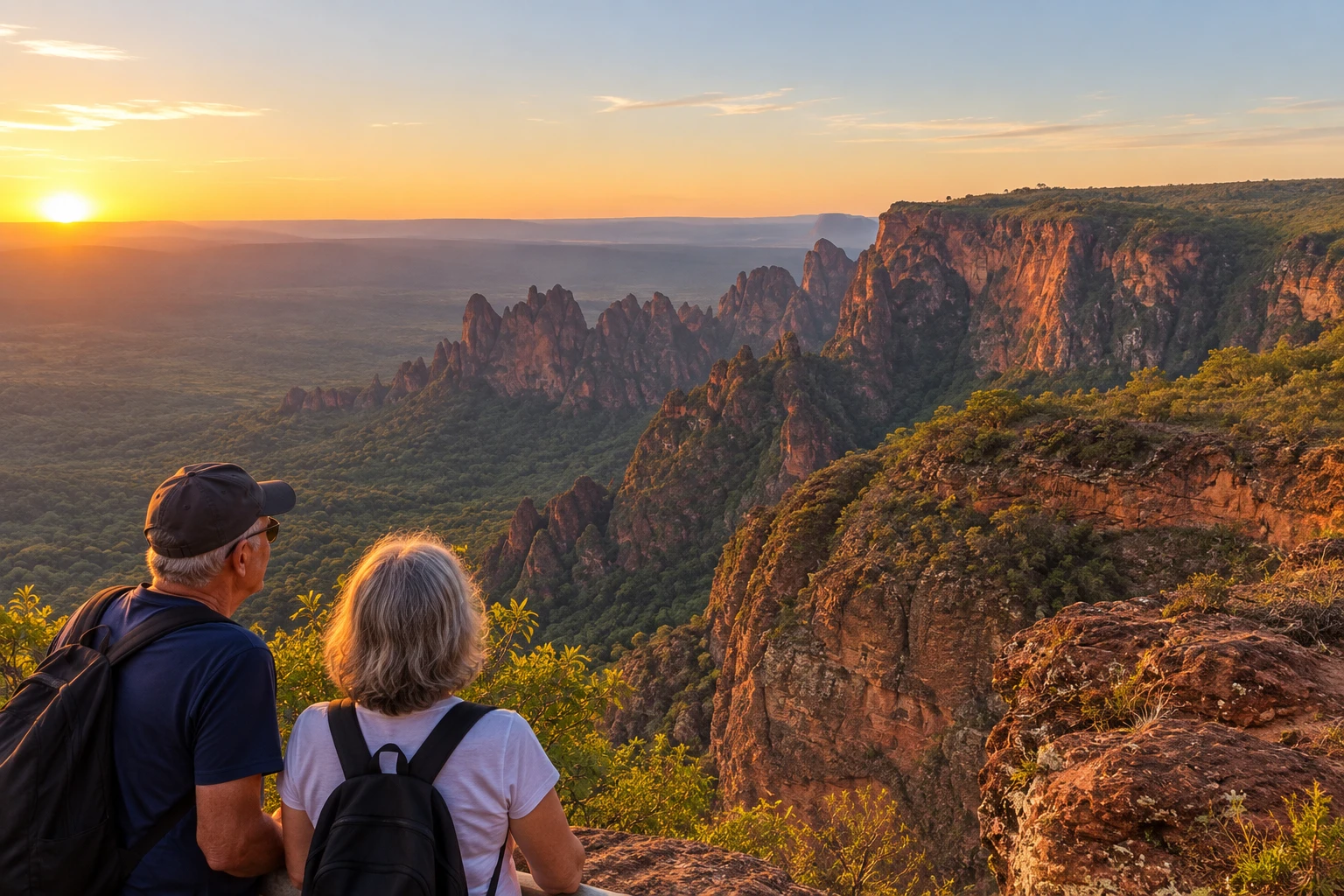
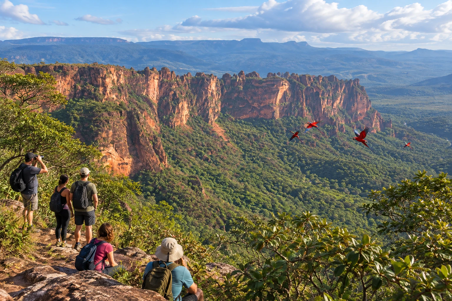
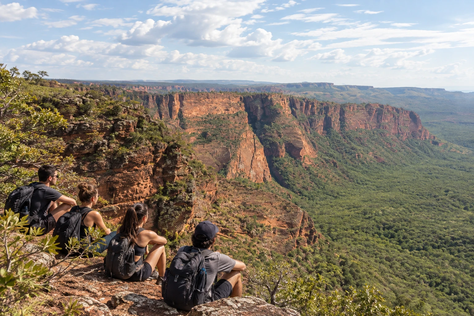
A group of sandstone towers and blocks carved by the wind above a deep valley. Sunset there paints the rocks a vivid orange.
Illustrative images. The pictures in this guide are illustrations based on the real place, not photographs, and may differ from it.


Pogled na kraj
Cidade de Pedra v slikah
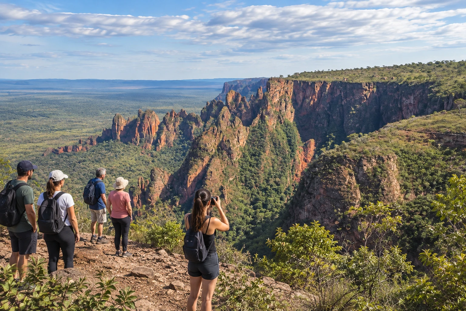
These pictures are illustrations based on the real place, not photographs. They may differ from the place.
Kliknite fotografijo za povečavo.
Spoznajte
O znamenitosti Cidade de Pedra
Cidade de Pedra is one of the best-known natural viewpoints in the Parque Nacional da Chapada dos Guimarães, in Mato Grosso. The name comes from the rock formations carved by erosion over thousands of years, which look like the ruins of a city on the edge of the Chapada cliffs.
From the cliff edge, the view reaches the Rio Claro valley and the surrounding hills, with a drop of about 350 meters, according to ICMBio (Brazil's federal parks agency). Down below you can see the veredas (palm-lined wetlands) and the cerrado (Brazilian savanna), and red-and-green macaws often fly along the escarpments.
Visits are made with a registered guide and advance booking, because access to the site is controlled by the park. The route there is long, on a dirt road with sandy stretches, and is usually done in a 4x4 vehicle, normally the tour's own.
Once there, the walk to the viewpoints is short, about half a kilometer, with no big climbs. The outing is more about taking in the view than exercise and suits most people, but the sun and heat are strong, and much of the path has no shade.
Pred odhodom
Praktične informacije
Cidade Turismo reviews its information regularly, but something may have changed. Check with the place before planning your trip.
Koliko časa si vzemite
About half a day, counting the drive on the dirt road and the time at the viewpoints.
Najboljši čas
In the dry season the dirt road is usually in better condition and the sky clearer; on rainy days the visit may be suspended. In the morning it is cooler.
Kako do tja
It is inside the Parque Nacional da Chapada dos Guimarães. From the town of Chapada dos Guimarães, take the MT-251 toward Cuiabá and then more than 20 km of dirt road (MT-020). Access is with a registered guide, usually on an agency tour in a 4x4 vehicle.
Nasvet
Book the tour in advance with a registered guide or agency and bring water, sunscreen and a hat. Keep your distance from the edge of the cliffs, where there is not always a railing.
Uradno spletno mesto
Odgovori na vaša vprašanja
Pogosta vprašanja – Cidade de Pedra
Do I need a guide to visit Cidade de Pedra?
Yes. Visits are made with a registered guide and advance booking, because access is controlled by the park.
Can I get there in a regular car?
It is not recommended. The route has more than 20 km of sandy dirt road, and ICMBio (Brazil's federal parks agency) advises a 4x4 vehicle.
Is the trail difficult?
No. The walk to the viewpoints is short, about half a kilometer, with no big climbs, but the sun is strong.
How long does the outing take?
About half a day, counting the dirt road and the time at the viewpoints.
What can you see at Cidade de Pedra?
Rock formations on the edge of the cliffs and the view of the Rio Claro valley, with a drop of about 350 meters, plus red-and-green macaws.
Več kot vodnik


