

 Antarktika
 Argentina
 Bolivija
 Čile
 Kolumbija
 Ekvator
 Gvajana
 Francoska Gvajana
 Falklandski otoki (Malvini)
 Paragvaj
 Peru
 Surinam
 Urugvaj
 Venezuela
 Nemčija
 Avstrija
 Belgija
 Hrvaška
 Danska
 Slovaška
 Slovenija
 Španija
 Finska
 Francija
 Grčija
 Nizozemska
 Madžarska
 Irska
 Islandija
 Italija
 Luksemburg
 Norveška
 Poljska
 Portugalska
 Združeno kraljestvo
 Češka
 Švedska
 Švica
 Turčija
 Bermudi
 Kanada
 Združene države Amerike
 Grenlandija
 Mehika
 Sveta Peter in Mihael
 Dominikanska republika
 Japonska
 Južnoafriška republika
 Egipt
 Avstralija
 Fidži
 Nova Zelandija
 Papua Nova Gvineja
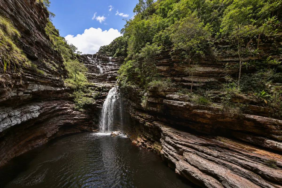
Slap · Lençóis, BA
Sossego Waterfall
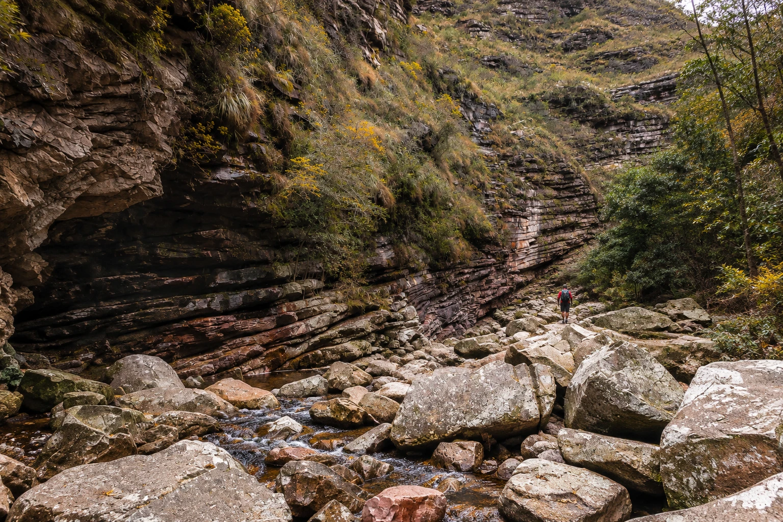
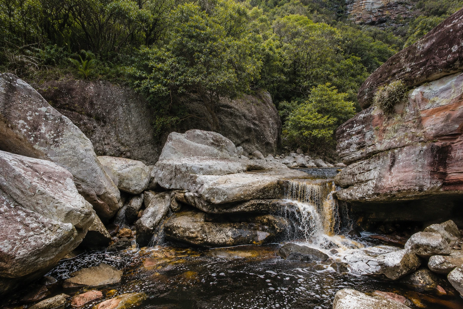
A waterfall in a canyon of Chapada Diamantina National Park, reached by a full‑day trail from Lençóis that follows the bed of the Ribeirão stream. The route passes the Ribeirão do Meio and requires hopping across stones.
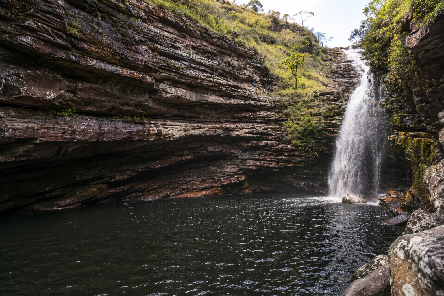
Na fotografiji: Cachoeira do Sossego between the canyon walls and the dark water pool.
Illustrative images. The pictures in this guide are illustrations based on the real place, not photographs, and may differ from it.


Pogled na kraj
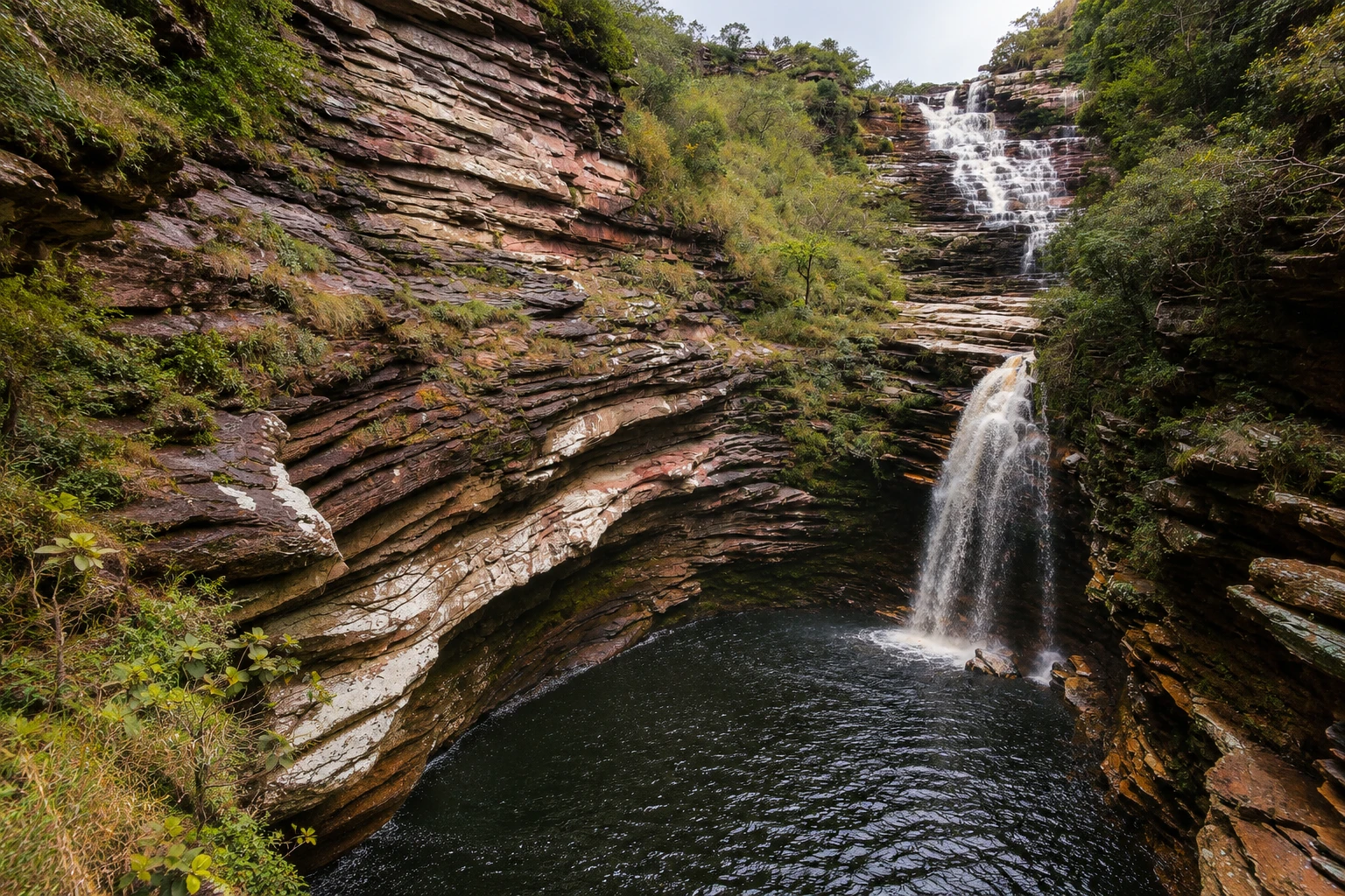
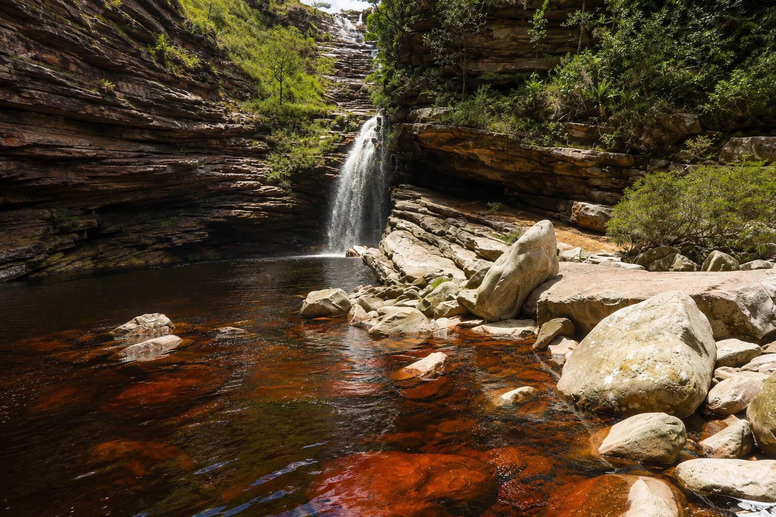
Sossego Waterfall v slikah
These pictures are illustrations based on the real place, not photographs. They may differ from the place.
Kliknite fotografijo za povečavo.
Spoznajte
O znamenitosti Sossego Waterfall
Cachoeira do Sossego is in Chapada Diamantina National Park, west of the town of Lençóis. The fall drops between dark rock walls at the end of a narrow canyon and forms a wide pool surrounded by rocks where visitors swim and rest.
The waterfall sits in the Ribeirão stream bed, above Ribeirão do Meio and Ribeirão de Cima, and the route to it follows old miner trails. The hike starts in Lençóis, passes the natural slide at Ribeirão do Meio and then follows the river upstream, much of the time jumping from stone to stone in the stream bed.
It is one of the most demanding trails around Lençóis. The round trip is 12 to 14 km depending on the route, and takes about two and a half hours each way. There are stretches of large, slippery rocks that require using your hands, and little signage. For these reasons the trail is usually done with a guide.
At the end of the hike the canyon narrows and the fall appears between the walls. The pool is deep and the water is cold, with the dark color typical of Chapada rivers. The water flow changes with the season: it is usually greater after the rainy season and lower in the dry months.
Because the route follows the river bed, the trail should not be done during heavy rain, when the water level can rise suddenly. On the return many visitors stop at Ribeirão do Meio for a last swim before reaching town.
Pred odhodom
Praktične informacije
Cidade Turismo reviews its information regularly, but something may have changed. Check with the place before planning your trip.
Koliko časa si vzemite
A full day: about two and a half hours of walking each way, plus time at the pool.
Najboljši čas
In the drier season, from April to October, when the river bed is easier to walk. Start early so you return in daylight; avoid days of heavy rain.
Kako do tja
The trail leaves Lençóis on foot toward Ribeirão do Meio and continues upstream along the Ribeirão bed to the waterfall. Guides and local agencies in town organize the route.
Nasvet
Go with a guide, wear trail shoes with good grip and bring water, snacks and a light backpack, keeping your hands free for the rocks. Check the weather forecast before you set out.
Odgovori na vaša vprašanja
Pogosta vprašanja – Sossego Waterfall
What is the trail to Cachoeira do Sossego like?
It is a demanding trail, 12 to 14 km round trip, with about two and a half hours each way. It passes Ribeirão do Meio and follows the river bed, hopping across large stones.
Do I need a guide for Cachoeira do Sossego?
It is recommended. The trail has little signage and slippery rock stretches in the river bed, and is generally done with guides from Lençóis.
When should I go to Cachoeira do Sossego?
The driest months, from April to October, when the river bed is easier to traverse. Avoid days of heavy rain, when the water level can rise suddenly.
Is Cachoeira do Sossego far from Lençóis?
It lies west of town, inside Chapada Diamantina National Park. The straight‑line distance is short, but the route along the river takes about two and a half hours on foot each way.
Več kot vodnik


