Valle de la Luna (Moon Valley)
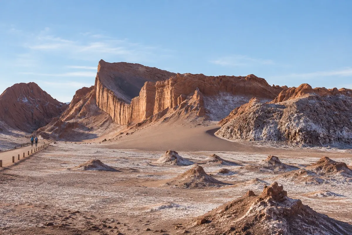
A valley of salt, clay and sand in the Cordillera de la Sal, about 13 km from San Pedro, with dunes, ridges and caves shaped by the wind. It is part of the Reserva Nacional Los Flamencos.
Antarktika
Antofagasta · Čile
Destinacija: Atacama Desert.
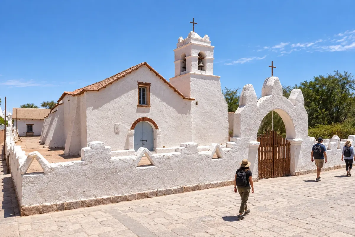
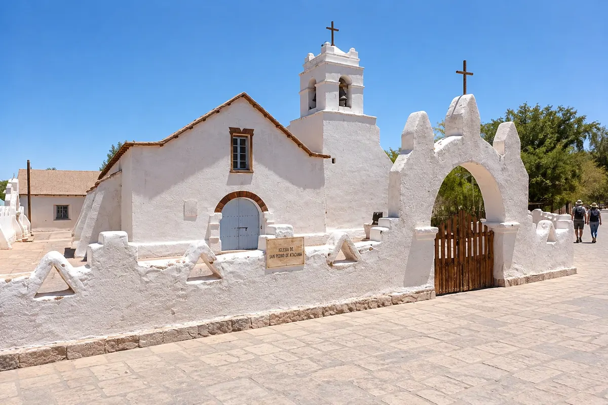
Na fotografiji: Iglesia de San Pedro de Atacama
Illustrative images. The pictures in this guide are illustrations based on the real place, not photographs, and may differ from it.
Mesto
San Pedro de Atacama is an oasis of adobe houses at about 2,400 meters altitude, the base for desert tours. In the center are the Iglesia de San Pedro de Atacama and the Museo R.P. Gustavo Le Paige; around them are Pukará de Quitor, Aldea de Tulor, Valle de la Luna and Valle de la Muerte. Farther away are Laguna Cejar, Laguna Chaxa, the Lagunas Miscanti and Miñiques, the Géiseres del Tatio and the Termas de Puritama.

Za opazovanje Lune in zvezd potrebujete jasno nebo.

Ali boste pojav videli, je odvisno od vremena.

Za opazovanje potrebujete jasno nebo brez polne lune. Vidnost ni zagotovljena.

Za opazovanje potrebujete jasno nebo brez močne mesečine. Vidnost ni zagotovljena.

Rekordi našega planeta in kraji, kjer jih lahko vidite.
V vodniku še ni nastanitev – San Pedro de Atacama.
V vodniku še ni restavracij – San Pedro de Atacama.
Poznate dobro možnost? Priporočite nam jokako do tja · koliko dni · načrt poti · vprašanja
Doživite kraj
A valley of salt, clay and sand in the Cordillera de la Sal, about 13 km from San Pedro, with dunes, ridges and caves shaped by the wind. It is part of the Reserva Nacional Los Flamencos.
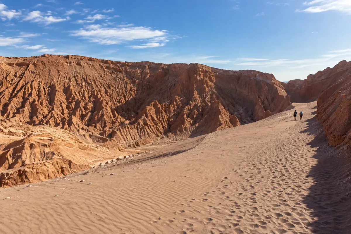
Valley of reddish ridges and a large dune in the Cordillera de la Sal, a few kilometers from San Pedro. Popular for hikes, cyclists and sandboard runs.
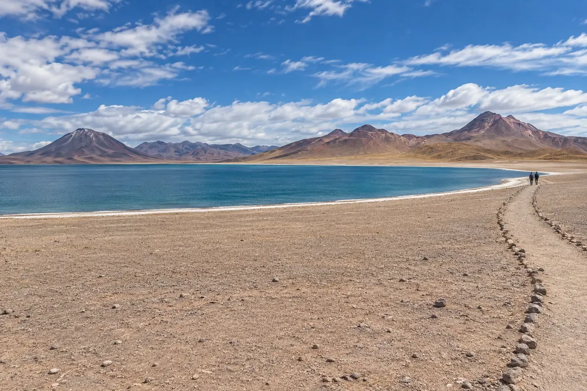
Two lagoons above 4,100 meters, at the foot of Cerro Miscanti and the Miñiques volcano, with vicuñas and Andean birds nearby. They are in the Reserva Nacional Los Flamencos.
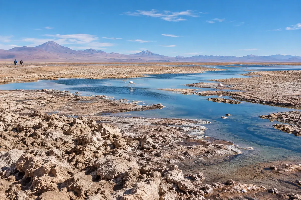
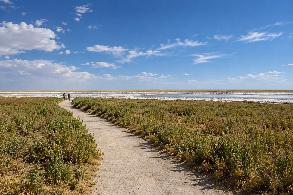
A shallow lagoon in the middle of the Salar de Atacama, in the Soncor sector of the Reserva Nacional Los Flamencos, where three species of flamingo usually feed.

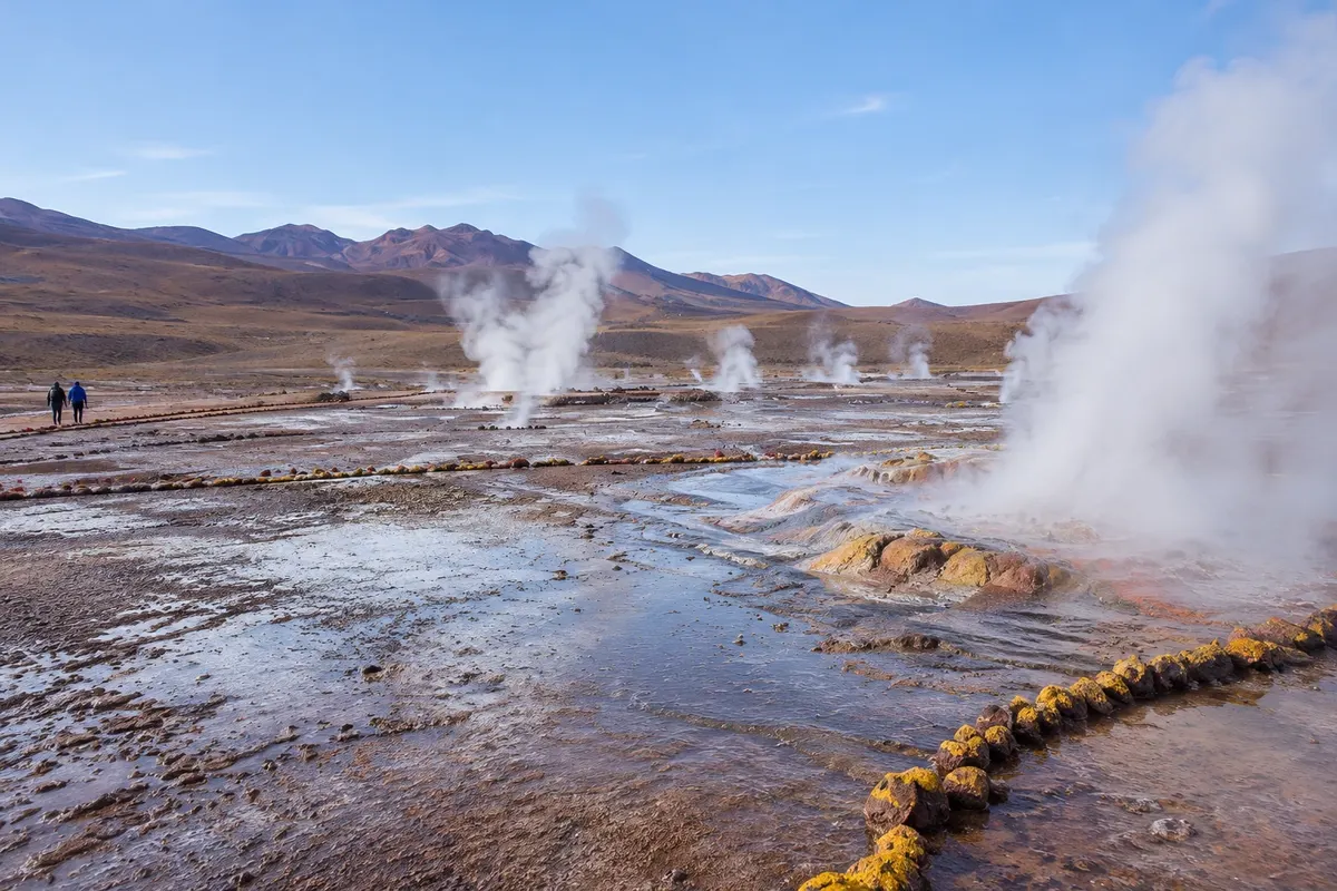
Field of about 80 active geysers at over 4,200 metres, northwest of San Pedro, visited at dawn when the steam rises in the cold.
A very salty lagoon in the Salar de Atacama, about 20 km from San Pedro. Bathing is done in the neighboring Laguna Piedra, where the body floats effortlessly.
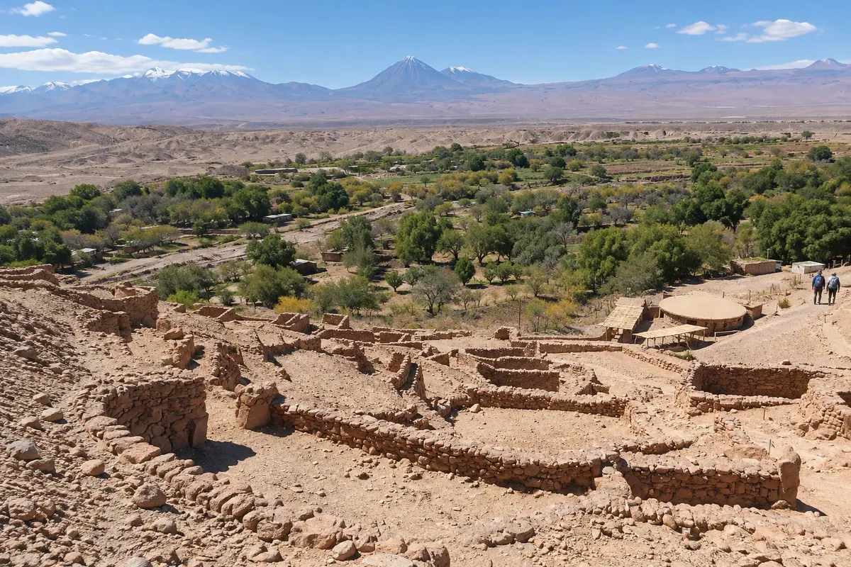
12th-century stone fortress on a hillside above the Rio San Pedro, 3 km from the village. It is a National Monument and has a trail to a lookout.
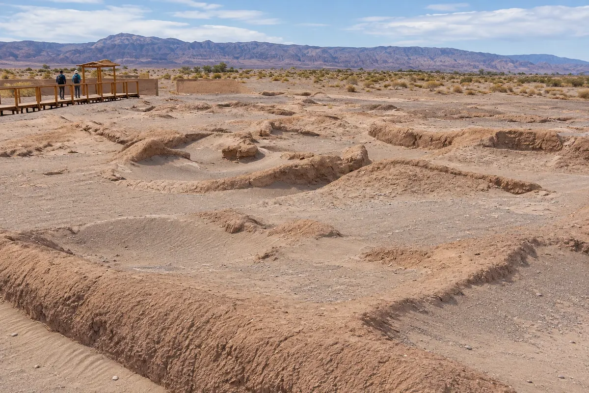
Village of circular adobe houses, occupied for more than two thousand years and found under the sand southwest of San Pedro. It has walkways and reconstructed houses.
Adobe church on the Plaza de Armas, with 18th-century walls and a cactus-wood roof tied with leather. It has been a Historic Monument since 1951.
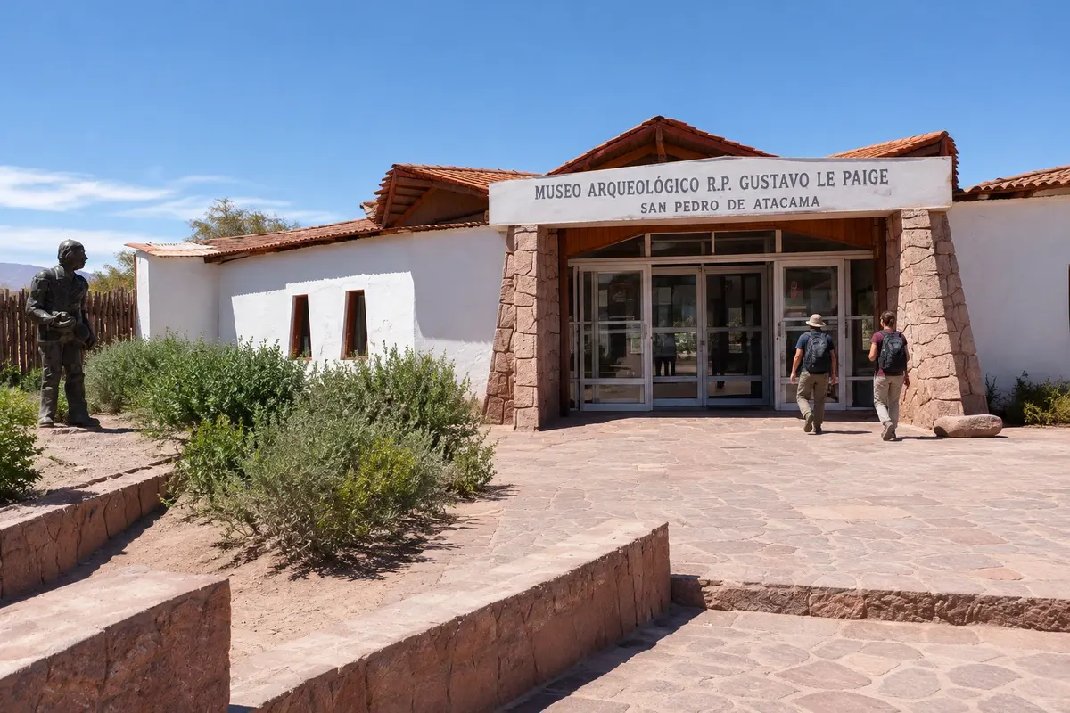
Archaeological collection assembled by Father Gustavo Le Paige, displayed in a visitable repository of the Universidad Católica del Norte, one block from the Plaza de Armas.
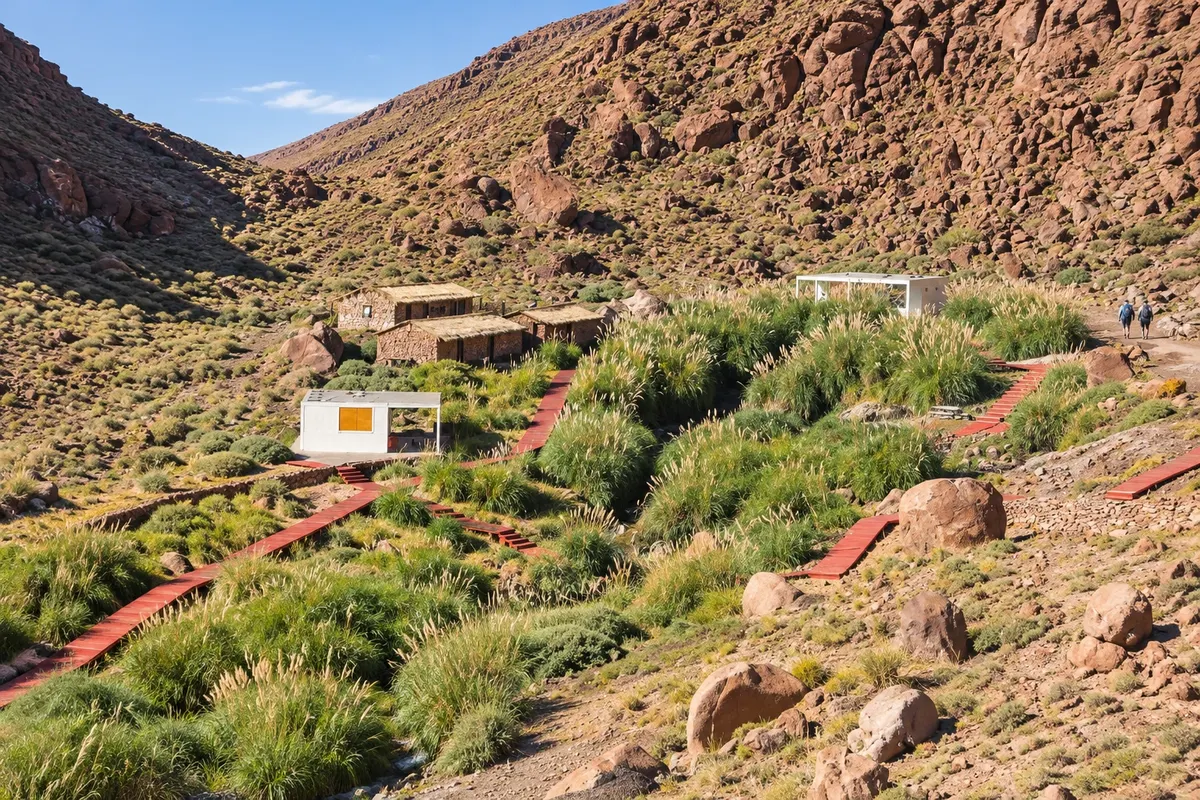
Eight thermal pools along a stream at the bottom of a canyon about 30 km from San Pedro, linked by wooden walkways.
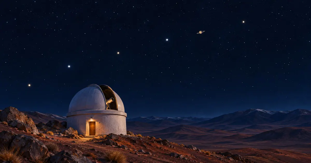
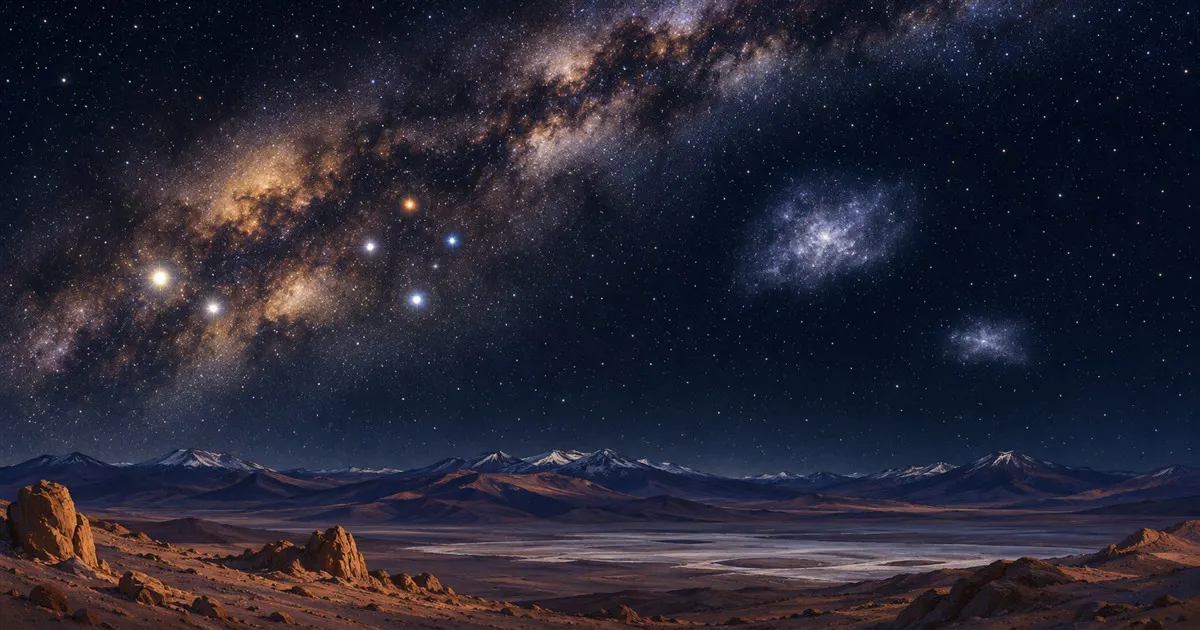
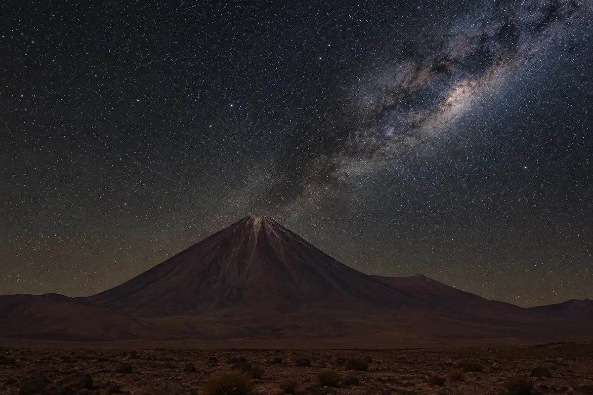
The dark desert sky of the Atacama seen from San Pedro: nighttime astronomy tours, the best season (March to December), and the ALMA observatory.
Pred odhodom
San Pedro de Atacama – Antofagasta Destinacija Atacama Desert
Razdalje so približne. Pred potovanjem preverite lete in vozne rede avtobusov, vlakov ali ladij.
The nearest airport is El Loa, in Calama, about 100 km away. Shared transfers leave the airport direct to accommodations; there are also buses from Calama, Antofagasta and other northern cities to the town terminal. The trip from Calama takes about an hour and a half via Ruta 23.
Four days allow you to see Valle de la Luna, El Tatio, the high-altitude lagoons and the salt-flat lagoons, with one easier day for altitude acclimatization. With five or six days you can add the Termas de Puritama, Valle de la Muerte and a relaxed night of stargazing.
The sky is often clear for much of the year. April, May, September and October tend to have pleasant days and cold early mornings. Between June and August nights fall several degrees below zero. In January and February rains on the altiplano can close the roads to El Tatio and the lagoons.
The seasons shown are the most usual ones; nature doesn't always follow the calendar.
Within the town everything is done on foot, and rental bikes take you to Valle de la Luna, Tulor and Pukará de Quitor. For higher-altitude tours, agencies handle transport. Those who rent a car should choose a high-clearance vehicle, refuel in San Pedro and avoid driving at dawn on dirt roads without knowing the way.
Predlog poti
Pot povezuje znamenitosti na tej strani. Za oglede boste imeli dovolj časa.
Start at the Plaza de Armas and the adobe church with a cactus roof. Continue to the depot of the Museo R.P. Gustavo Le Paige, one block away, to learn about the archaeology of the Atacameños that predates the archaeological sites.
Cycle or drive to Pukará de Quitor, to the north, and climb slowly to the viewpoint.
Enter Valle de la Luna with your entrance bought beforehand, walk the Duna Mayor and the Tres Marías and wait for nightfall at a viewpoint, when the mountain range changes color.
Dine on Caracoles street, where restaurants open late. If the weather allows, take a stargazing trip with an agency, away from the town lights; bring a heavy coat.
Dan 1
Use the first morning to get used to the altitude: walk around town, visit the church and the Museo R.P. Gustavo Le Paige, and drink water frequently.
Visit Aldea de Tulor in the early afternoon and then head to Valle de la Luna, staying until sunset. It's a day of easy, short excursions close to town.
Dan 2
Leave at dawn with an agency for El Tatio, at about 4,300 meters, and watch the steam rise in the cold. On the return, stop at Machuca and at the wetlands along the route.
After resting, go to the thermal pools of Puritama, in the canyon to the northeast, in the afternoon slot reserved in advance. Bring a snack, because there is no food for sale.
Have an "once," as Chileans call the late-afternoon snack with bread, cold cuts and tea, and sleep early: the next day also starts early.
Dan 3
Head south, passing Toconao and Socaire, to the high-altitude lagoons at about 4,130 meters. Hike the trails and look for vicuñas along the way.
On the way down, stop at Laguna Chaxa in the Salar de Atacama for the trail along the water. Then see Toconao's stone bell tower.
If you still have energy, float in Laguna Piedra, next to Cejar, or watch the sunset over the rocks of Valle de la Muerte, a few minutes from town.
Check before you go. Opening hours and days change, and places may close for renovations, holidays or events. This itinerary is a suggestion from Cidade Turismo, not a commitment: plan yours by checking directly with each place you intend to visit.
Pred odhodom
The village sits at about 2,400 meters. Most people only feel tiredness and shortness of breath in the first days. Ascend slowly, drink water, avoid overeating and excess alcohol, and leave outings above 4,000 meters for later.
Shared transfers meet flights at El Loa airport and drop each passenger at their accommodation. Another option is to go to Calama and take a bus to San Pedro, or rent a car. It's about 100 km and an hour and a half of driving.
Days are usually warm and sunny, but nights cool down a lot, especially from June to August, when they fall below zero. On early-morning outings and at the high-altitude lagoons the cold is intense at any time of year. Bring layered clothing.
Local agencies take groups at night to areas away from lights, with telescopes and explanations about southern-hemisphere constellations. The outing depends on the weather and the Moon phase; full-moon nights reveal fewer stars.
There are shops, small markets, restaurants and agencies in the center, especially on Caracoles street. Some places and entrances, like the gate of Valle de la Muerte, accept cash only, so it's wise to carry Chilean pesos.
Več kot vodnik