Qaqortoq and Kujataa

Kujalleq · Grenlandija

Qaqortoq and Kujataa

The green fjords of the south, with the Norse ruins of Kujataa, a UNESCO World Heritage site: Hvalsey Church, Brattahlíð and Garðar, among sheep farms and icebergs.

South Greenland

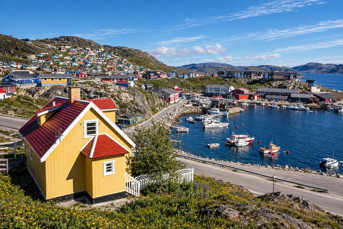
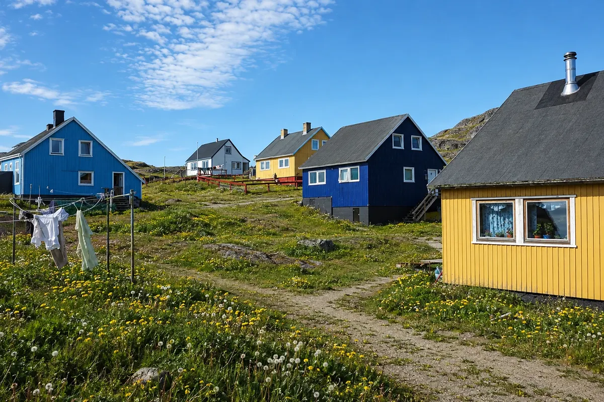
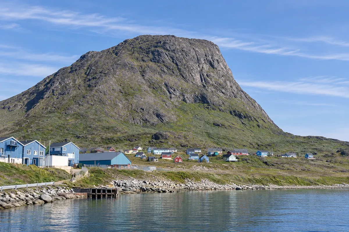
Na fotografiji: Qaqortoq’s harbor and the houses on the rocky slopes of Kujalleq.

Illustrative images. The pictures in this guide are illustrations based on the real place, not photographs, and may differ from it.

Na voljo v trgovini Google Play Pošljite svoje fotografije

Spoznajte kraj

Pokrajina, ki jo doživite
v svojem ritmu.

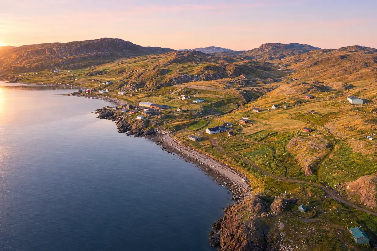
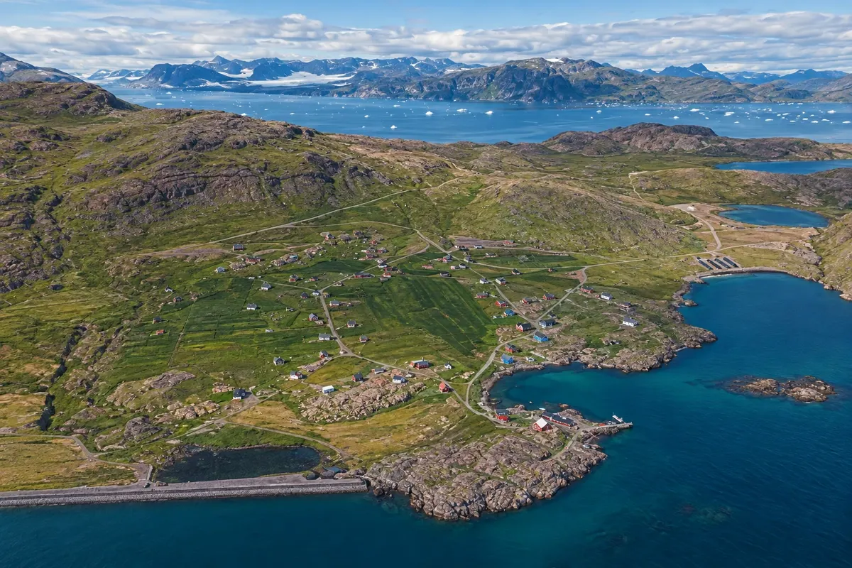
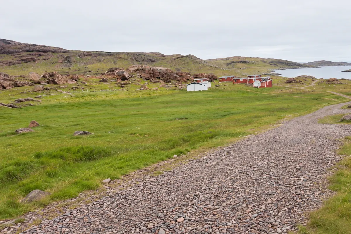
The south of Greenland is the country’s greenest part, with pasture valleys between fjords full of icebergs that descend from the ice cap. Norse settlers who arrived with Erik the Red raised cattle and sheep there for almost five centuries; after a long gap, Greenlandic families resumed sheep farming in the same valleys. UNESCO recognized this ensemble, called Kujataa, in 2017.

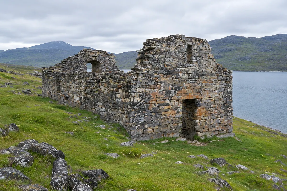
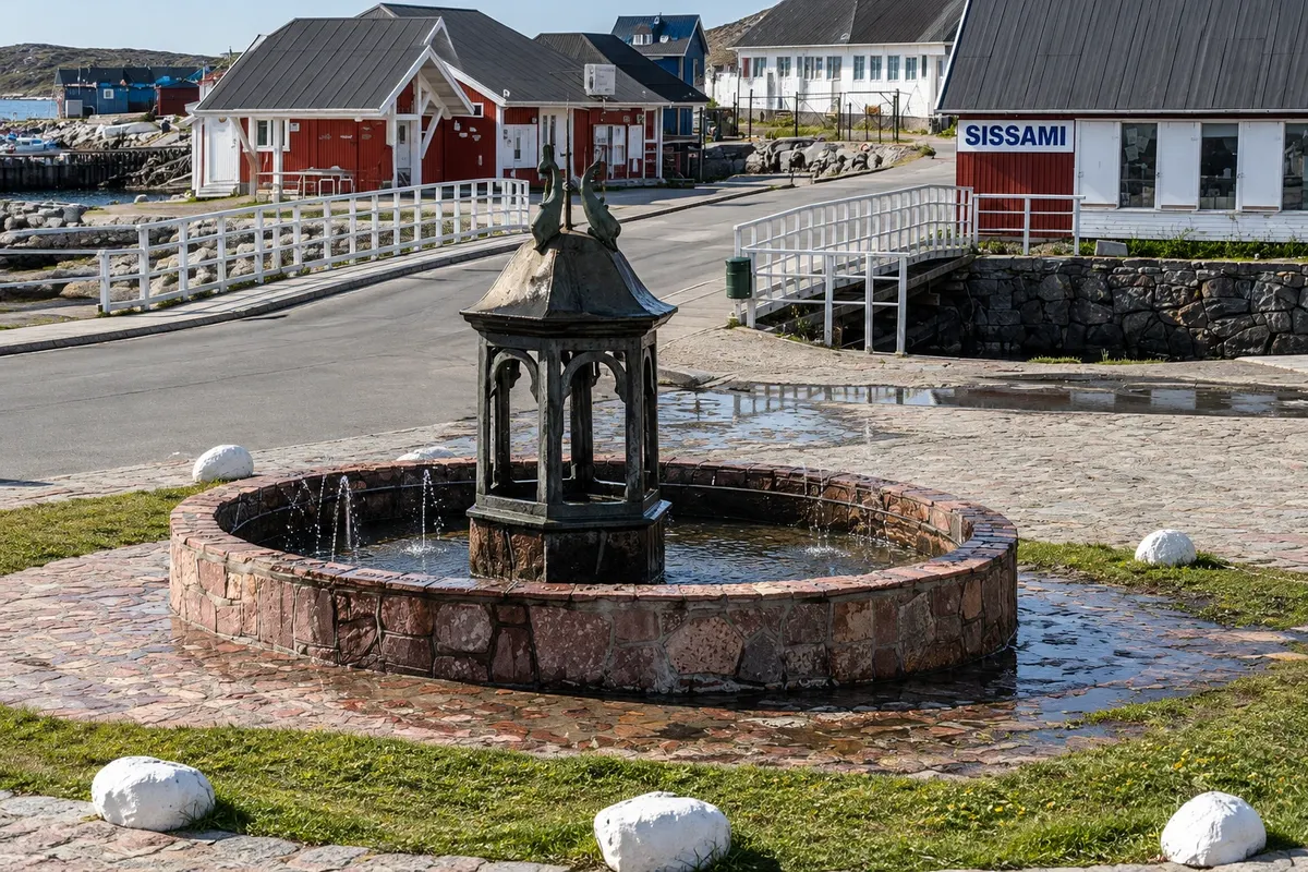
Qaqortoq, the largest town in the south, is the gateway, with an airport, colorful houses above the harbor, the country’s oldest fountain and rock-carved sculptures. From there boats depart for Hvalsey, the Norse church that still has all four walls standing.

Farther north along the fjords are Qassiarsuk, with Brattahlíð, Erik the Red’s farm, and the statue of Leif Eriksson, and Igaliku, with the ruins of Garðar, the old seat of the bishopric. Narsaq, on a plain between fjords, has a museum and trails with views of the ice cap.

Boats and helicopters connect the places. Multi-day trails cross the farms, and a hike from Narsarsuaq reaches the Kiattuut glacier.

This destination brings together 4 cities: Qaqortoq, Qassiarsuk, Igaliku, Narsaq.

Delite: WhatsApp
Delite svoja popotniška doživetja s fotografijami Pošljite fotografije vsakega kraja, ki ste ga obiskali. Največje število fotografij na kraj: 5.

Ena destinacija, več poti

Mesta na tej poti

Začnite v enem mestu ali v načrt poti vključite več mest.

Qaqortoq and Kujataa – lega
QaqortoqNarsaqQassiarsukIgaliku

Dados cartográficos: © sodelavci OpenStreetMap (ODbL 1.0); contorno terrestre: Natural Earth (javna domena). Priredba: Cidade Turismo.

Kako do tja:Qaqortoq and Kujataa

✈ Qaqortoq Mittarfia (JJU)· 5 km do cilja (Qaqortoq)

Entry is through Qaqortoq Airport, linked to Nuuk year-round and to Iceland in the summer season. Boats and helicopters continue to Narsaq, Narsarsuaq, Qassiarsuk and Igaliku. There are no roads between the places. Confirm routes before booking.

Predlagana točka prihoda:Qaqortoq

Doživite kraj

Kaj početi – Qaqortoq and Kujataa

Brattahlíð
Qassiarsuk · Kujalleq · Arheološko najdišče

Brattahlíð

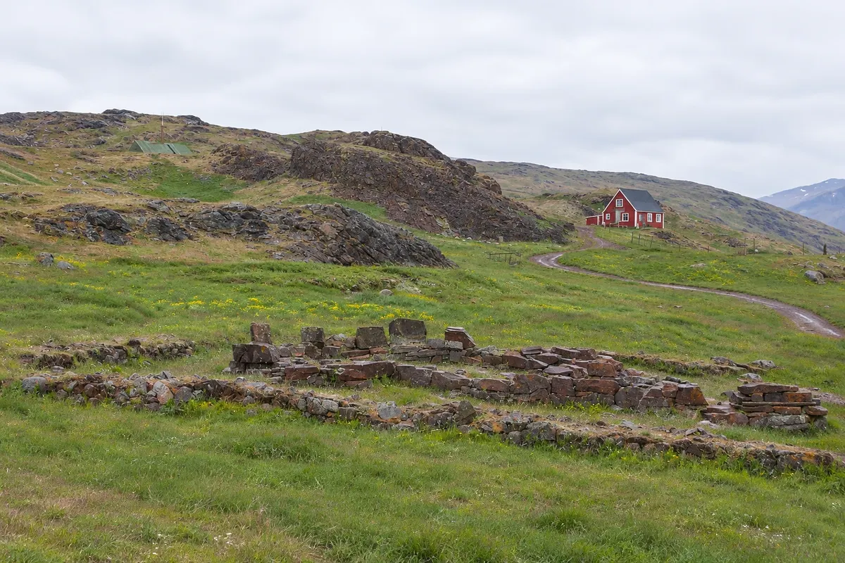
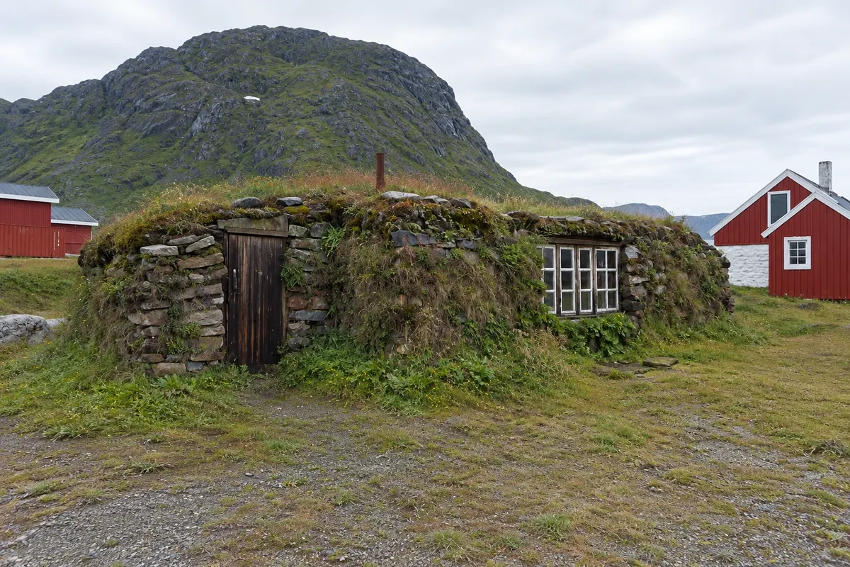
The ruins of Erik the Red’s farm, founded around 985, in Qassiarsuk, with replicas of the Norse longhouse and Tjodhilde’s small church and a statue of Leif Eriksson.

Hvalsey Church
Qaqortoq · Kujalleq · Historic ruin

Hvalsey Church

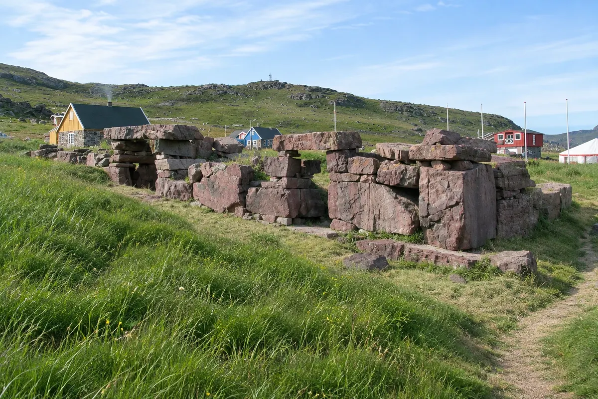
A stone church of the Norse settlers, with the walls still standing, on the edge of a fjord about 19 km from Qaqortoq. It is the site of the last written record of the Norse in the country, dated 1408.

Narsaq Museum
Narsaq · Kujalleq · Muzej

Narsaq Museum

Museum in the colonial buildings by Narsaq’s old harbor, with an exhibition about the Norse settlers of the south and objects from the town’s history.

Garðar Ruins
Igaliku · Kujalleq · Arheološko najdišče

Garðar Ruins

The remains of the settlers’ old bishopric, with the cathedral of St. Nicholas, the bishop’s residence and large barns, in the middle of the settlement of Igaliku.

Qaqortoq and Kujataa – prikaži dodatne kraje (4)
Kongevejen
Igaliku · Kujalleq · Kolesarska in pešpot

Kongevejen

A roughly 4 km dirt path between the Itilleq jetty and Igaliku, across an isthmus between two fjords, with pastures, small lakes and views of the icebergs.

Qaqortoq Museum
Qaqortoq · Kujalleq · Muzej

Qaqortoq Museum

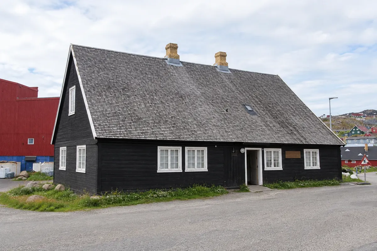
The city museum in an 1804 stone building, the old forge of the colonial harbor. It shows objects from the Norse and Inuit eras, hunting tools and the history of the colony.

Qaqqarsuaq
Narsaq · Kujalleq · Gora

Qaqqarsuaq

The mountain of about 685 meters behind Narsaq, with a trail to the top and views over the town, the iceberg-filled fjord and, in the distance, the ice cap.

Qaqortoq Fountain
Qaqortoq · Kujalleq · Monument

Qaqortoq Fountain

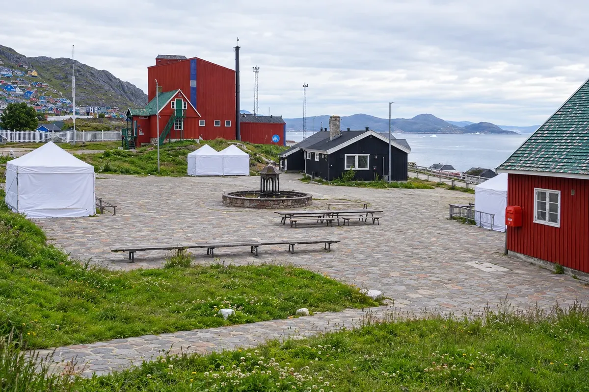
The oldest fountain in Greenland, from 1932, in Qaqortoq’s central square, with bronze whales spouting water. Colonial houses and the red church surround it.

Pred odhodom

Praktične informacije

Z nekaj načrtovanja boste imeli več časa za uživanje na poti.

Kdaj se odpraviti

Summer is the season of frequent boats, green pastures and open trails. Icebergs remain in the fjords all summer, and from September onward the auroras may appear on dark nights.

The seasons shown are the most usual ones; nature doesn't always follow the calendar.

Koliko dni ostati

Five to seven days allow for Qaqortoq and Hvalsey, one night in Qassiarsuk and another in Igaliku, with time for boat schedules. Narsaq adds another day.

V katerem mestu prenočiti

Qaqortoq has the largest accommodation offering in the south and is close to the airport and boats. In Qassiarsuk and Igaliku accommodations are simple, on farms and guesthouses, and allow you to sleep next to the ruins. Narsaq has options in town near the harbor.

Spoštujte kraj

Odnesite svoje odpadke, upoštevajte oznake in podprite lokalne ponudnike. V naravi upoštevajte navodila za obiskovalce.

Odgovori na vaša vprašanja

Pogosta vprašanja – Qaqortoq and Kujataa

What is Kujataa?

The name given by UNESCO to the ensemble of old and current farms of the south, inscribed in 2017, with sites such as Hvalsey, Brattahlíð and Garðar.

What is the best time to go to southern Greenland?

Between June and September: that’s when boats connect the villages and paths are free of snow.

How do you travel between Qaqortoq, Qassiarsuk and Igaliku?

By boat with local operators, and on some legs by helicopter. Arrange transfers in advance, because they depend on ice and weather.

Can you hike between the farms in the south?

Yes. There are multi-day trails between Narsaq and Qassiarsuk and between Igaliku and Qaqortoq, passing farms and ruins, with no services along the way.

Is Narsarsuaq still the south’s entry point?

Not for airplane flights: arrival has shifted to Qaqortoq Airport. Narsarsuaq has a heliport and is a boat point for Qassiarsuk and the starting point for the Kiattuut glacier trail.

Odkrijte druge destinacije Iskanje po zvezni državi in mestu

Več kot vodnik