

Razgledišče
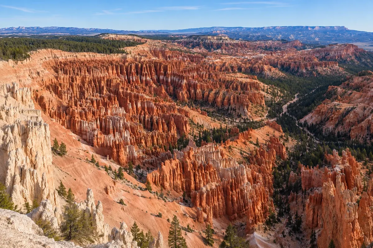
Bryce Amphitheater
The largest natural amphitheater in Bryce Canyon National Park, full of orange rock pinnacles, viewed from four rim viewpoints: Sunrise, Sunset, Inspiration and Bryce Point.

 Išči
 Brazilija
 Antarktika
 Argentina
 Bolivija
 Čile
 Kolumbija
 Ekvator
 Gvajana
 Francoska Gvajana
 Falklandski otoki (Malvini)
 Paragvaj
 Peru
 Surinam
 Urugvaj
 Venezuela
 Nemčija
 Avstrija
 Belgija
 Hrvaška
 Danska
 Slovaška
 Slovenija
 Španija
 Finska
 Francija
 Grčija
 Nizozemska
 Madžarska
 Irska
 Islandija
 Italija
 Luksemburg
 Norveška
 Poljska
 Portugalska
 Združeno kraljestvo
 Češka
 Švedska
 Švica
 Turčija
 Bermudi
 KanadaZdružene države Amerike
 Grenlandija
 Mehika
 Sveta Peter in Mihael
 Dominikanska republika
 JaponskaTurčija
 Južnoafriška republika
 Egipt
 Avstralija
 Fidži
 Nova Zelandija
 Papua Nova Gvineja
Utah · Združene države Amerike
Destinacija: Zion and Bryce Canyon.
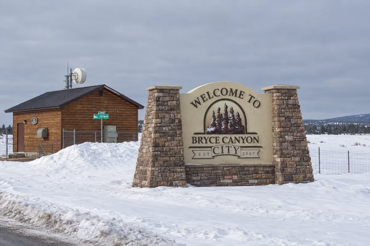
Na fotografiji: Entrance to Bryce Canyon City in winter
Illustrative images. The pictures in this guide are illustrations based on the real place, not photographs, and may differ from it.
Mesto
Small settlement by the entrance to Bryce Canyon National Park, at about 2,400 meters elevation on the Paunsaugunt Plateau. It concentrates the lodging, restaurants and the region's service station and is only minutes from the amphitheater of orange pinnacles and the trails that descend among them.
V vodniku še ni nastanitev – Bryce Canyon City.
V vodniku še ni restavracij – Bryce Canyon City.
Poznate dobro možnost? Priporočite nam jokako do tja · koliko dni · načrt poti · vprašanja
Doživite kraj
The largest natural amphitheater in Bryce Canyon National Park, full of orange rock pinnacles, viewed from four rim viewpoints: Sunrise, Sunset, Inspiration and Bryce Point.
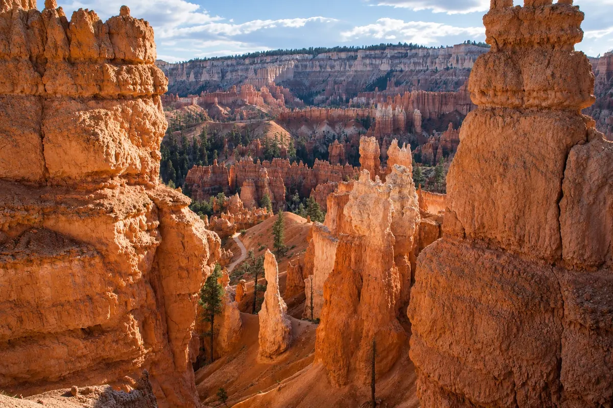
Two linked trails that descend from the rim to the bottom of Bryce’s amphitheater, winding among the pinnacles, with the Wall Street corridors and the Queen Victoria formation. About 4.6 km in length.
Pred odhodom
Bryce Canyon City – Utah Destinacija Zion and Bryce Canyon približno 430 km stran (izhodišče: Salt Lake City)
Razdalje so približne. Pred potovanjem preverite lete in vozne rede avtobusov, vlakov ali ladij.
It’s about a two-hour drive from Springdale via State Route 9 and US-89, and about four hours from Salt Lake City. The nearest commercial airport is Cedar City. In season, a shuttle links the town to the park’s overlooks.
One day allows visiting the amphitheater overlooks and the Navajo Loop trail together with Queen's Garden. With an extra night, you'll have time for sunrise at Sunrise Point and the drive out to Rainbow Point.
From May to October days are usually pleasant and nights cold. Afternoon storms with lightning are common in July and August. From November to March it usually snows, and snow on the pinnacles draws photographers; trails may require crampons on boots.
The seasons shown are the most usual ones; nature doesn't always follow the calendar.
Yes, to get there. Inside the park, the road is open to cars year-round, and in season there are shuttles between the town and the amphitheater overlooks.
Predlog poti
Pot povezuje znamenitosti na tej strani. Za oglede boste imeli dovolj časa.
Watch the sunrise at Sunrise Point and descend via the Queen's Garden trail to the bottom of the amphitheater, returning on the Navajo Loop to Sunset Point.
Drive the park road to Rainbow Point at the southern end, stopping at overlooks on the return, such as Natural Bridge and Inspiration Point.
Check before you go. Opening hours and days change, and places may close for renovations, holidays or events. This itinerary is a suggestion from Cidade Turismo, not a commitment: plan yours by checking directly with each place you intend to visit.
Pred odhodom
In Bryce Canyon City, by the park entrance, or at the historic hotel inside the park. Tropic, about 15 km to the east, and Panguitch, about 40 km away, offer other options.
Utah’s: UTC−7 in winter and UTC−6 during daylight saving time, from March to November.
Yes, especially at night. At roughly 2,400 meters, nights are cold even in summer, and from November to March temperatures often fall below zero. Bring warm clothing at any time of year.
Yes. The high plain’s dark sky is protected, and the park often runs guided stargazing programs with rangers, especially in summer. Check the schedule.
Več kot vodnik


