

Gora
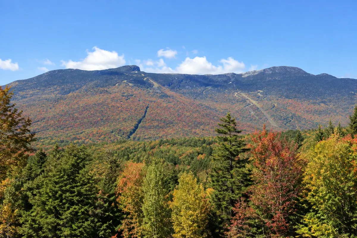
Mount Mansfield
Vermont’s highest point, at 1,339 meters, whose ridge resembles a profile of a face. At the top there is an area of alpine tundra; the east slope is the Stowe ski area.

 Išči
 Brazilija
 Antarktika
 Argentina
 Bolivija
 Čile
 Kolumbija
 Ekvator
 Gvajana
 Francoska Gvajana
 Falklandski otoki (Malvini)
 Paragvaj
 Peru
 Surinam
 Urugvaj
 Venezuela
 Nemčija
 Avstrija
 Belgija
 Hrvaška
 Danska
 Slovaška
 Slovenija
 Španija
 Finska
 Francija
 Grčija
 Nizozemska
 Madžarska
 Irska
 Islandija
 Italija
 Luksemburg
 Norveška
 Poljska
 Portugalska
 Združeno kraljestvo
 Češka
 Švedska
 Švica
 Turčija
 Bermudi
 KanadaZdružene države Amerike
 Grenlandija
 Mehika
 Sveta Peter in Mihael
 Dominikanska republika
 JaponskaTurčija
 Južnoafriška republika
 Egipt
 Avstralija
 Fidži
 Nova Zelandija
 Papua Nova Gvineja
Vermont · Združene države Amerike
Destinacija: Stowe and Burlington.
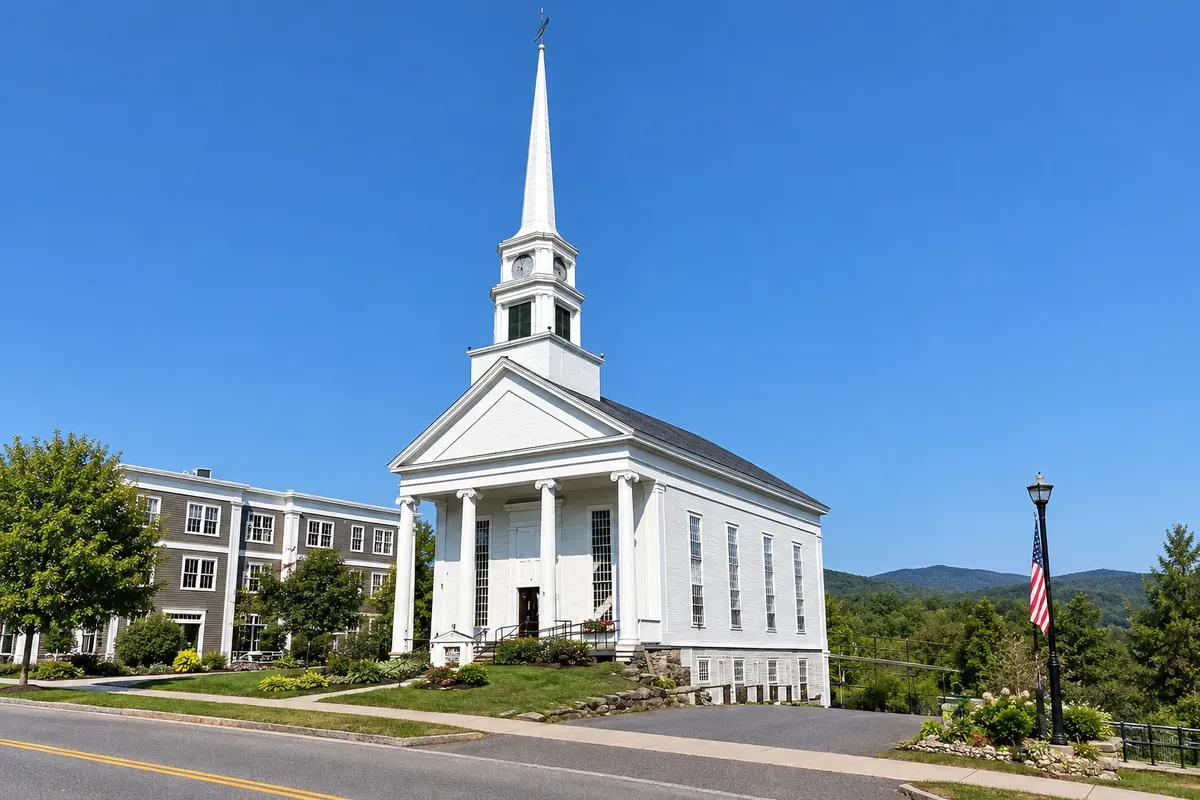
Na fotografiji: Stowe village church
Illustrative images. The pictures in this guide are illustrations based on the real place, not photographs, and may differ from it.
Mesto
Mountain village at the foot of Mount Mansfield, Vermont’s highest point, known for skiing since the 1930s and for its fall colors. The center has a white church with a thin steeple, shops and inns in wooden houses. Mountain Road climbs the valley to the Mansfield ski runs and continues to the Smugglers' Notch gorge. An 8.5 km bike path follows the river through the valley.
V vodniku še ni nastanitev – Stowe.
kako do tja · koliko dni · načrt poti · vprašanja
Doživite kraj
Vermont’s highest point, at 1,339 meters, whose ridge resembles a profile of a face. At the top there is an area of alpine tundra; the east slope is the Stowe ski area.
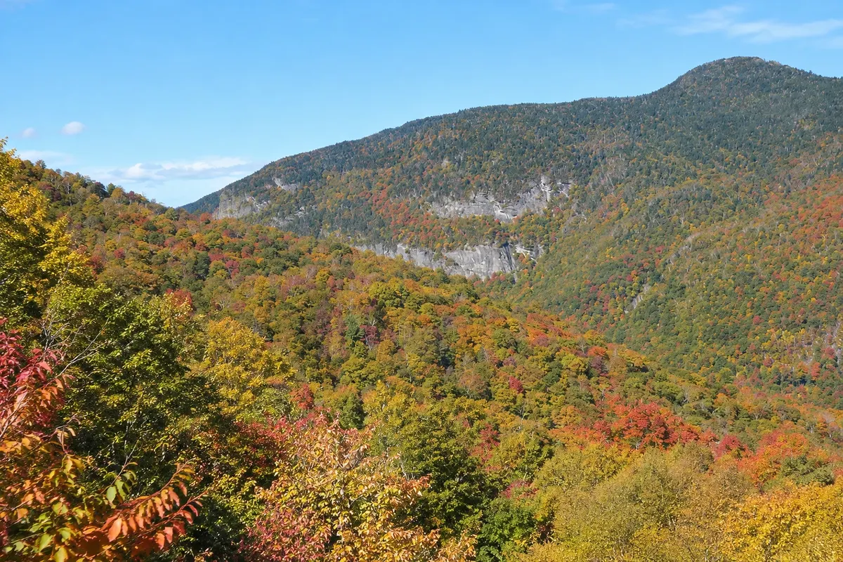
A narrow gorge between Mount Mansfield and Spruce Peak, where Route 108 winds through tight curves among large rock slabs. The road closes in winter.
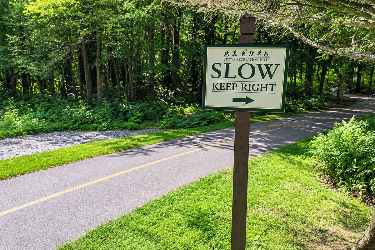
An 8.5 km bike-and-walk path that starts at the village church and follows the river through the valley, with 20 bridges and views of Mount Mansfield.
Pred odhodom
Stowe – Vermont Destinacija Stowe and Burlington
Razdalje so približne. Pred potovanjem preverite lete in vozne rede avtobusov, vlakov ali ladij.
From Burlington it’s about 55 km, roughly a 45-minute drive via I-89 and Route 100. The nearest train station is Waterbury, about 16 km away, served by the Vermonter. There are buses between Waterbury and Stowe, with limited schedules.
Two days allow you to climb Mount Mansfield, ride the bike path and cross Smugglers' Notch. For skiing, three to five days.
Autumn, with peak colors usually from late September to mid-October, is the busiest season. From December to March there is snow for skiing, with days below 0 °C. In summer, from 20 °C to 27 °C, the trails and the Mansfield road are open. April and May are the mud season.
The seasons shown are the most usual ones; nature doesn't always follow the calendar.
Yes. The village is walkable, but the Mansfield road, Smugglers' Notch and Waterbury station are several kilometers away. In winter, local buses connect the village to the ski slopes. Drive on the right.
Predlog poti
Pot povezuje znamenitosti na tej strani. Za oglede boste imeli dovolj časa.
Take the toll road or the gondola and walk along the ridge to the Chin, the highest point in the state.
Follow Mountain Road to the Smugglers' Notch gorge and stop at the rock formations beside the road.
Return to the village for dinner and see the illuminated church on the main street.
Dan 1
Bike or walk the valley bike path, starting from the church in town.
The Smugglers' Notch gorge and a short trail among the boulders.
Dan 2
Toll road or gondola to the ridge and a walk across the alpine tundra.
Drive the rural roads around the village, with farms and covered bridges.
Check before you go. Opening hours and days change, and places may close for renovations, holidays or events. This itinerary is a suggestion from Cidade Turismo, not a commitment: plan yours by checking directly with each place you intend to visit.
Pred odhodom
It usually runs from mid-November or December to April, depending on snow. The months with the most consistent snow are January through March.
Colors usually peak between late September and mid-October. Weekends in those weeks make the village very busy; book accommodation in advance.
By car, about 45 minutes via I-89 and Route 100. Without a car, you must combine buses with a connection in Waterbury, with limited schedules.
Climb Mount Mansfield, hike or bike the valley bike path, do trails in Smugglers' Notch and stroll around the village.
Več kot vodnik


