

Rock formation
Bell Rock
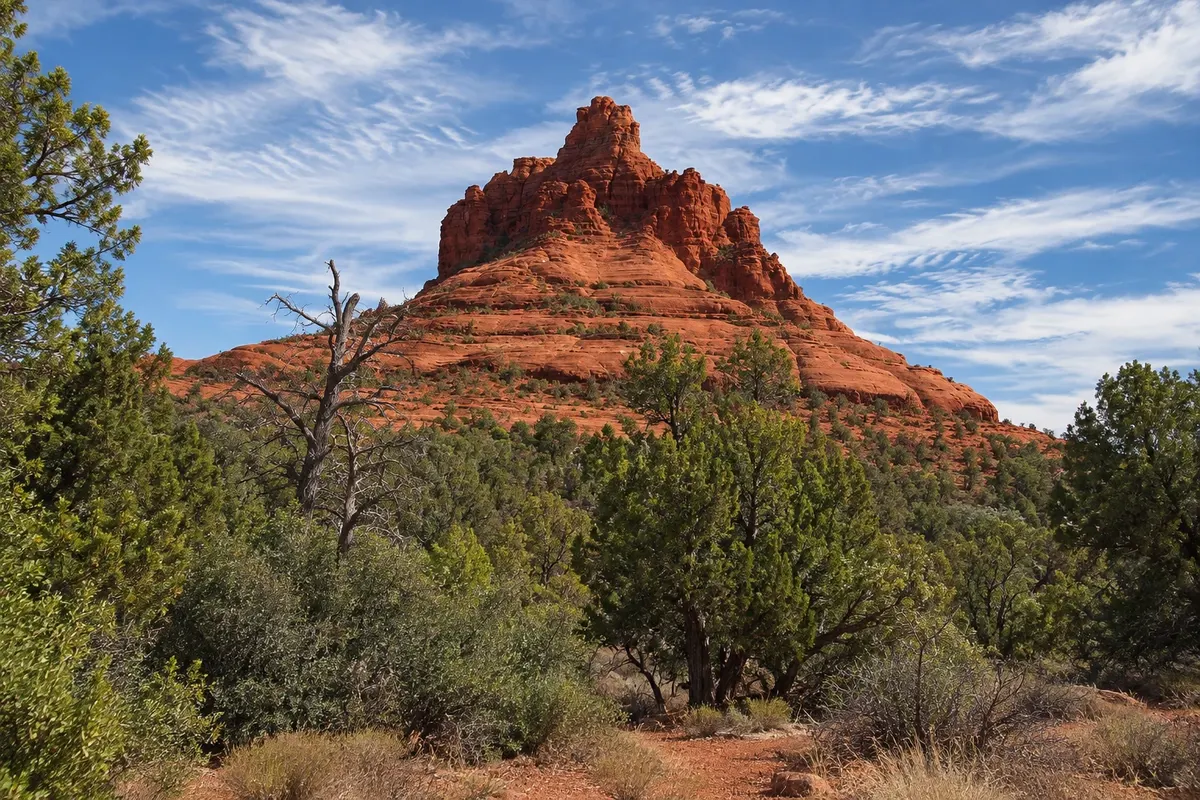
A red sandstone bell-shaped rock beside State Route 179, south of Sedona, with short flat loops around it and more demanding climbs on the slopes.

 Išči
 Brazilija
 Antarktika
 Argentina
 Bolivija
 Čile
 Kolumbija
 Ekvator
 Gvajana
 Francoska Gvajana
 Falklandski otoki (Malvini)
 Paragvaj
 Peru
 Surinam
 Urugvaj
 Venezuela
 Nemčija
 Avstrija
 Belgija
 Hrvaška
 Danska
 Slovaška
 Slovenija
 Španija
 Finska
 Francija
 Grčija
 Nizozemska
 Madžarska
 Irska
 Islandija
 Italija
 Luksemburg
 Norveška
 Poljska
 Portugalska
 Združeno kraljestvo
 Češka
 Švedska
 Švica
 Turčija
 Bermudi
 KanadaZdružene države Amerike
 Grenlandija
 Mehika
 Sveta Peter in Mihael
 Dominikanska republika
 JaponskaTurčija
 Južnoafriška republika
 Egipt
 Avstralija
 Fidži
 Nova Zelandija
 Papua Nova Gvineja
Arizona · Združene države Amerike
Destinacija: Phoenix and Sedona (United States) — Phoenix; Scottsdale; Sedona.
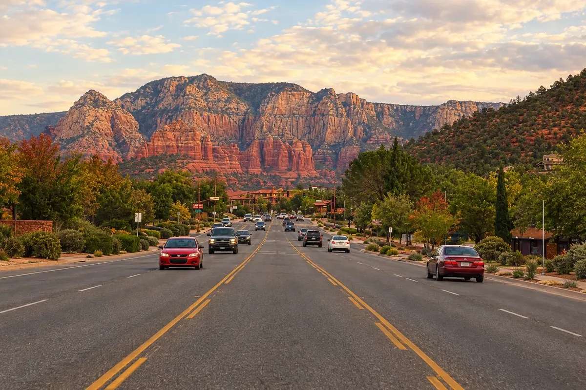
Na fotografiji: Sedona Avenue and its red cliffs
Illustrative images. The pictures in this guide are illustrations based on the real place, not photographs, and may differ from it.
Mesto
City in north-central Arizona, set among red sandstone formations at the mouth of Oak Creek Canyon. There are trails to Bell Rock, Cathedral Rock and Devil's Bridge, the Chapel of the Holy Cross carved into the rock, and Slide Rock State Park, with natural water slides in the creek. The downtown area has galleries and shops.
V vodniku še ni nastanitev – Sedona.
kako do tja · koliko dni · načrt poti · vprašanja
Doživite kraj
A red sandstone bell-shaped rock beside State Route 179, south of Sedona, with short flat loops around it and more demanding climbs on the slopes.
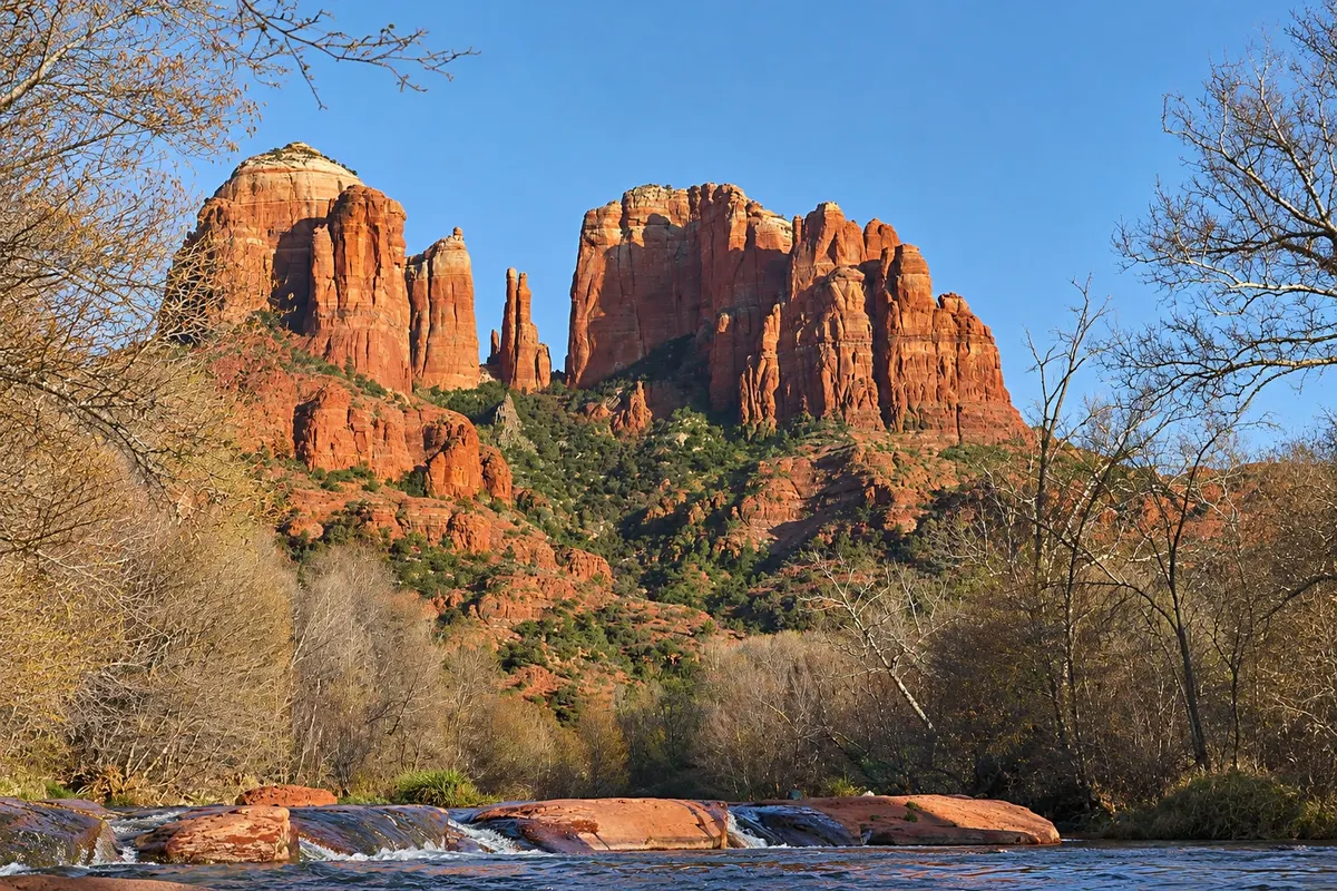
Red sandstone formation with towers that evoke a cathedral, south of Sedona by Oak Creek, featuring a short steep trail to a saddle between the towers.
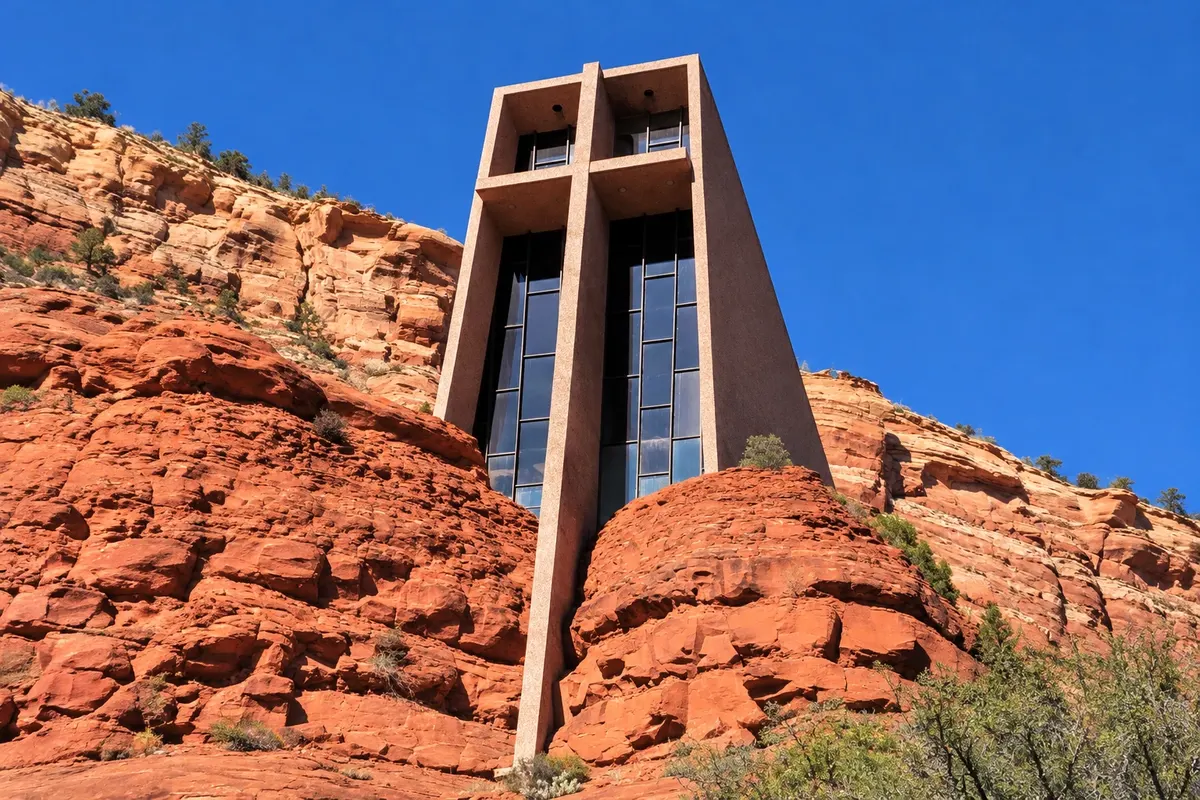
A concrete Catholic chapel wedged between two red rocks south of Sedona, with a large cross on the façade and a glass window facing the valley. It was completed in 1956.
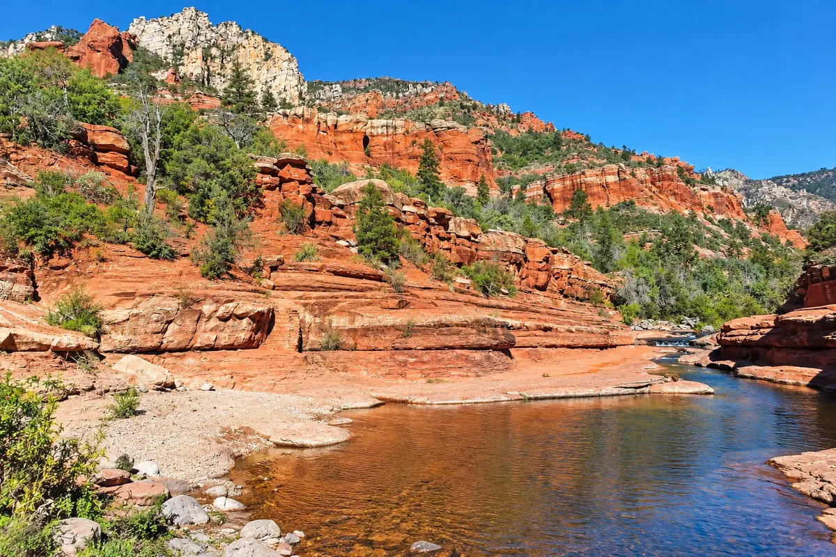
A state park in the Oak Creek canyon north of Sedona, with a natural stone slide in the creek, swimming pools, and a historic apple orchard.
Pred odhodom
Sedona – Arizona Destinacija Phoenix and Sedona (United States) — Phoenix; Scottsdale; Sedona približno 190 km stran (izhodišče: Phoenix)
Razdalje so približne. Pred potovanjem preverite lete in vozne rede avtobusov, vlakov ali ladij.
About a two-hour drive from Phoenix Sky Harbor Airport via I-17 and State Route 179, and about 45 minutes from Flagstaff via State Route 89A, which descends Oak Creek Canyon. Airport shuttles and van services run from Phoenix.
Two days allow time for two or three short hikes, the Chapel of the Holy Cross and Oak Creek Canyon. With three days you can add longer hikes, such as Devil’s Bridge, and a jeep tour.
March through May and September through November usually have pleasant days. Summers are hot and monsoons bring heavy afternoon storms at times. Winters are chilly in the mornings, and snow dusting the red rocks occurs on some days.
The seasons shown are the most usual ones; nature doesn't always follow the calendar.
Tip: trails are spread out and trailhead parking fills early. Part of the year a city shuttle runs to the most popular trails, such as Cathedral Rock and Devil’s Bridge.
Predlog poti
Pot povezuje znamenitosti na tej strani. Za oglede boste imeli dovolj časa.
Start early at Bell Rock, walking the loop trail around the formation. Then visit the Chapel of the Holy Cross, set between two rocks on State Route 179.
Drive up Oak Creek Canyon on State Route 89A and stop at Slide Rock State Park to see the creek’s natural water slides.
End the day at the end of the Cathedral Rock trail or at an Airport Mesa overlook to watch the rocks turn red.
Dan 1
Do Bell Rock, the Chapel of the Holy Cross and Cathedral Rock, finishing with sunset at one of the overlooks.
Dan 2
Hike early to Devil’s Bridge, a sandstone arch, then head to Oak Creek and Slide Rock in the afternoon.
Check before you go. Opening hours and days change, and places may close for renovations, holidays or events. This itinerary is a suggestion from Cidade Turismo, not a commitment: plan yours by checking directly with each place you intend to visit.
Pred odhodom
Trailhead parking for the most popular hikes fills early. Part of the year a city shuttle serves Cathedral Rock, Devil’s Bridge and other trails from larger parking lots. Many trails require a U.S. Forest Service parking pass.
Arizona: UTC-7 year-round, no daylight saving time.
Sites such as Bell Rock, Cathedral Rock and Airport Mesa that many visitors consider centers of spiritual energy. The idea draws meditation and themed tours; for other visitors they are simply good trails and viewpoints.
Yes. Via State Route 89A up Oak Creek Canyon, Sedona is about 45 minutes from Flagstaff and roughly two and a half hours from the South Rim of the Grand Canyon.
Več kot vodnik


