Hanalei Bay
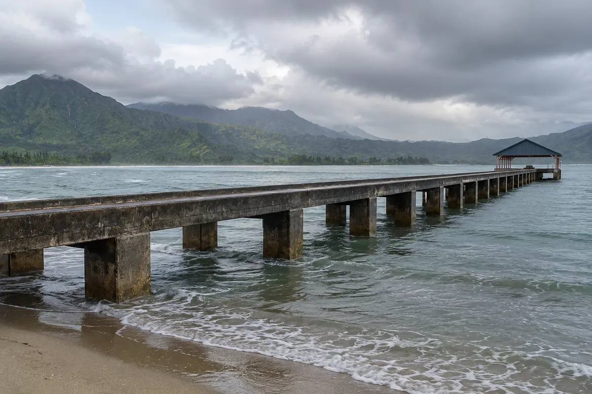
A crescent bay of about 3 km on Kauai’s north coast, with light sand, a wooden pier and green mountains in the background, which fill with waterfalls in winter. The sea is usually calm in summer and receives large waves in winter.
Antarktika
Havaí · Združene države Amerike
Destinacija: Kauai (United States): Lihue (Līhuʻe); Hanalei; Waimea.
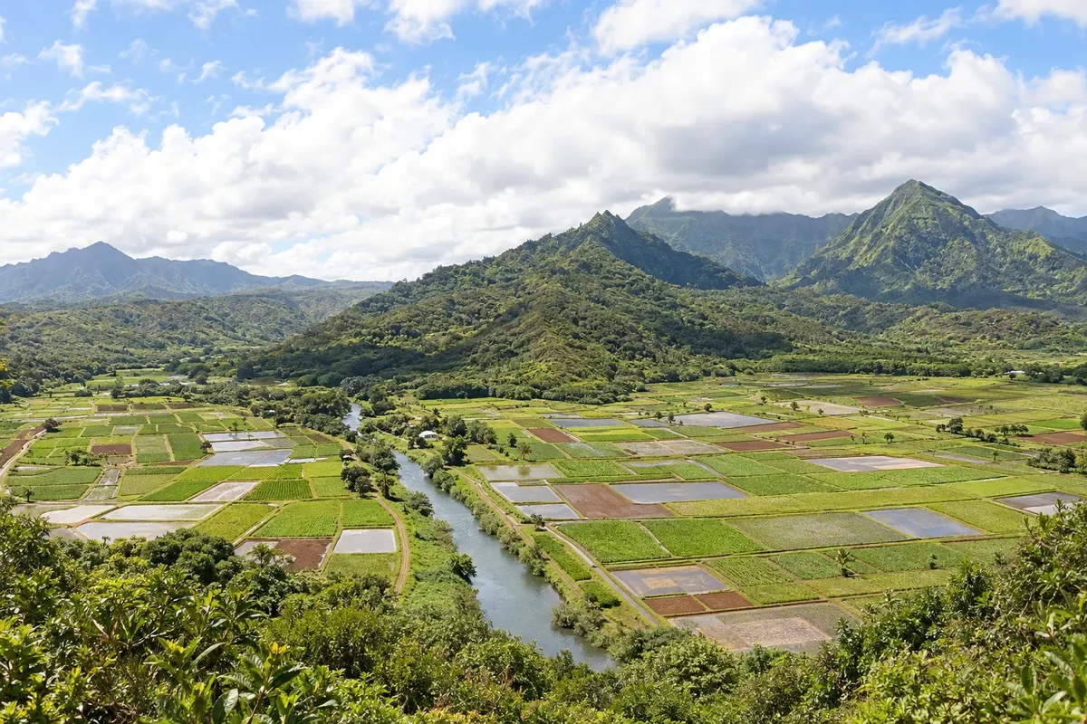
Na fotografiji: The Hanalei Valley, on Kauai
Illustrative images. The pictures in this guide are illustrations based on the real place, not photographs, and may differ from it.
Mesto
A village on Kauai’s north coast, behind the bay of the same name, with low wooden houses, surf shops, old churches and taro fields in the valley. It is the base for Hanalei Bay, Hāʻena State Park and the start of the Kalalau Trail at the end of the road. Frequent rain keeps the landscape green and the mountains dotted with waterfalls.
V vodniku še ni nastanitev – Hanalei.
kako do tja · koliko dni · načrt poti · vprašanja
Doživite kraj
A crescent bay of about 3 km on Kauai’s north coast, with light sand, a wooden pier and green mountains in the background, which fill with waterfalls in winter. The sea is usually calm in summer and receives large waves in winter.

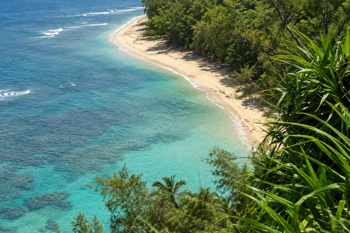
The park is at the end of Kauai’s north shore road, with Kēʻē Beach, a shallow-reef beach, and the start of the Kalalau Trail that runs along the Nā Pali coast cliffs. Visitors from outside Hawaii must reserve parking or a bus.
Pred odhodom
Hanalei – Hawaii Destinacija Kauai (United States): Lihue (Līhuʻe); Hanalei; Waimea približno 175 km stran (izhodišče: Honolulu)
Razdalje so približne. Pred potovanjem preverite lete in vozne rede avtobusov, vlakov ali ladij.
From Lihue, take Route 56 to Princeville and then Route 560, which descends into the Hanalei Valley over a single‑lane bridge: about 50 km and one hour by car. The island bus reaches the village; to Hāʻena there is a separate reservation bus.
Two days for the bay, the village and Hāʻena with the trail to Hanakāpīʻai. With three days there’s time to paddle the Hanalei River and visit other north beaches.
From May to September, when the sea is calm and there is less rain. From November to March there is more rain and big waves arrive, good for watching surf but bad for swimming. After storms the road can close from valley flooding.
The seasons shown are the most usual ones; nature doesn't always follow the calendar.
Helpful for getting to and around the north coast, but for Hāʻena many visitors prefer the reservation bus, which avoids the competition for parking. Drive on the right.
Predlog poti
Pot povezuje znamenitosti na tej strani. Za oglede boste imeli dovolj časa.
Take the bus or use the reserved parking in Hāʻena, hike to Hanakāpīʻai and return for snorkeling at Kēʻē.
Return to the village, walk along the bay to the pier and stay for sunset.
Dan 1
Trail to Hanakāpīʻai and Kēʻē Beach.
Dan 2
Morning paddling on the Hanalei River, beach and pier in the afternoon.
Check before you go. Opening hours and days change, and places may close for renovations, holidays or events. This itinerary is a suggestion from Cidade Turismo, not a commitment: plan yours by checking directly with each place you intend to visit.
Pred odhodom
About 50 km, roughly an hour’s drive along the east and north coast.
Via Route 560, about 12 km, with narrow bridges. Visitors need a parking reservation or the park bus to enter.
The north coast receives more rain than the south, especially from November to March. In summer the days tend to be drier.
A narrow single‑lane bridge over the Hanalei River at the village entrance. Cars wait their turn in groups.
Več kot vodnik