Acadia National Park
The park covers Mount Desert Island and the Schoodic Peninsula: granite mountains, glacial lakes, rocky beaches and the Park Loop Road, plus about 70 km of carriage roads for walking and cycling.
Antarktika
Maine · Združene države Amerike
Destinacija: Acadia and Bar Harbor.
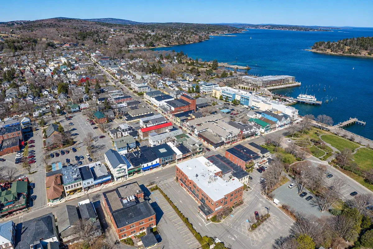
Na fotografiji: Bar Harbor town center by Frenchman Bay
Illustrative images. The pictures in this guide are illustrations based on the real place, not photographs, and may differ from it.
Mesto
Village on the shore of Frenchman Bay on Mount Desert Island, next to Acadia National Park’s main entrance. The center has short streets with seafood restaurants and shops, the Village Green lawn, and the Abbe Museum about the Wabanaki peoples. Along the Shore Path you walk between the sea and the old summer mansions, and at low tide a sandbar leads to Bar Island. Boat tours of the bay depart from here, and the road to Cadillac begins nearby.
V vodniku še ni nastanitev – Bar Harbor.
kako do tja · koliko dni · načrt poti · vprašanja
Doživite kraj
The park covers Mount Desert Island and the Schoodic Peninsula: granite mountains, glacial lakes, rocky beaches and the Park Loop Road, plus about 70 km of carriage roads for walking and cycling.
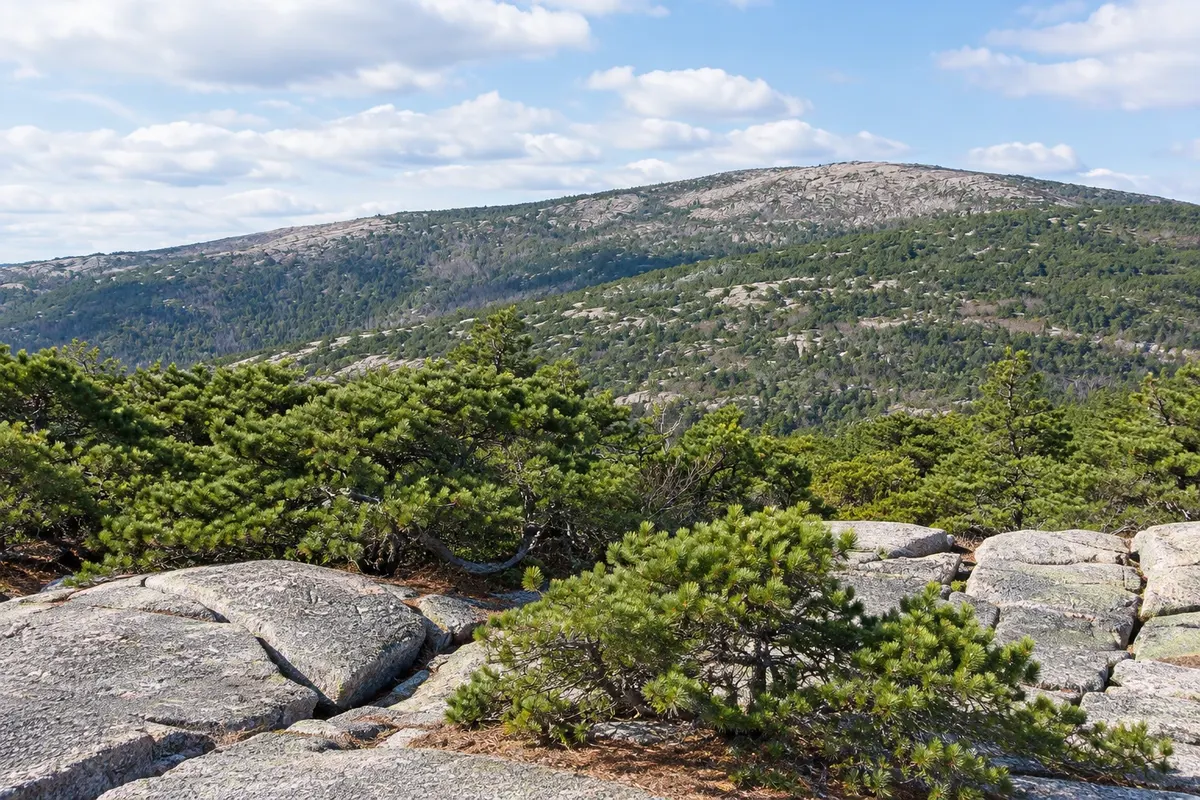
The highest point in Acadia National Park at 466 meters, a pink granite summit. From the top you can see Bar Harbor, the islands in Frenchman Bay and the open ocean; between October and March it is one of the first places in the country to see the sunrise.
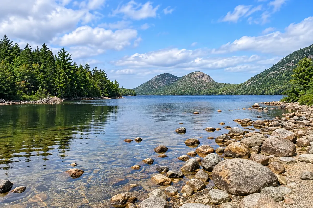
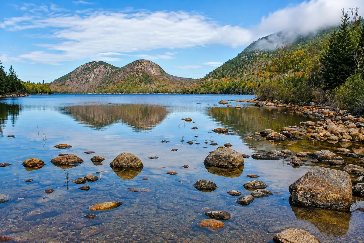
A very clear lake in a valley carved by a glacier, with the rounded hills The Bubbles to the north. A flat trail circles the shore, partly on wooden boardwalks.
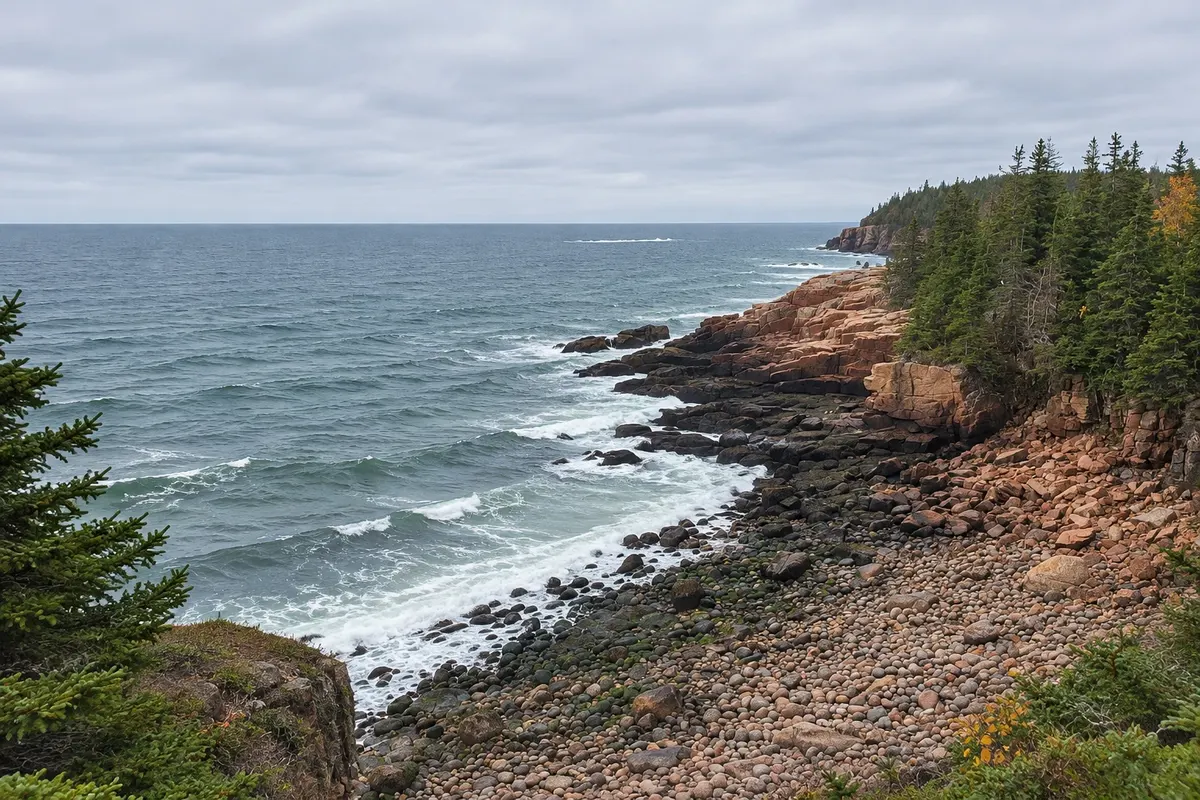
Seaside path between Sand Beach and Otter Point, passing Thunder Hole, the fissure where the sea explodes with a roar, and the granite cliffs of Otter Cliff.

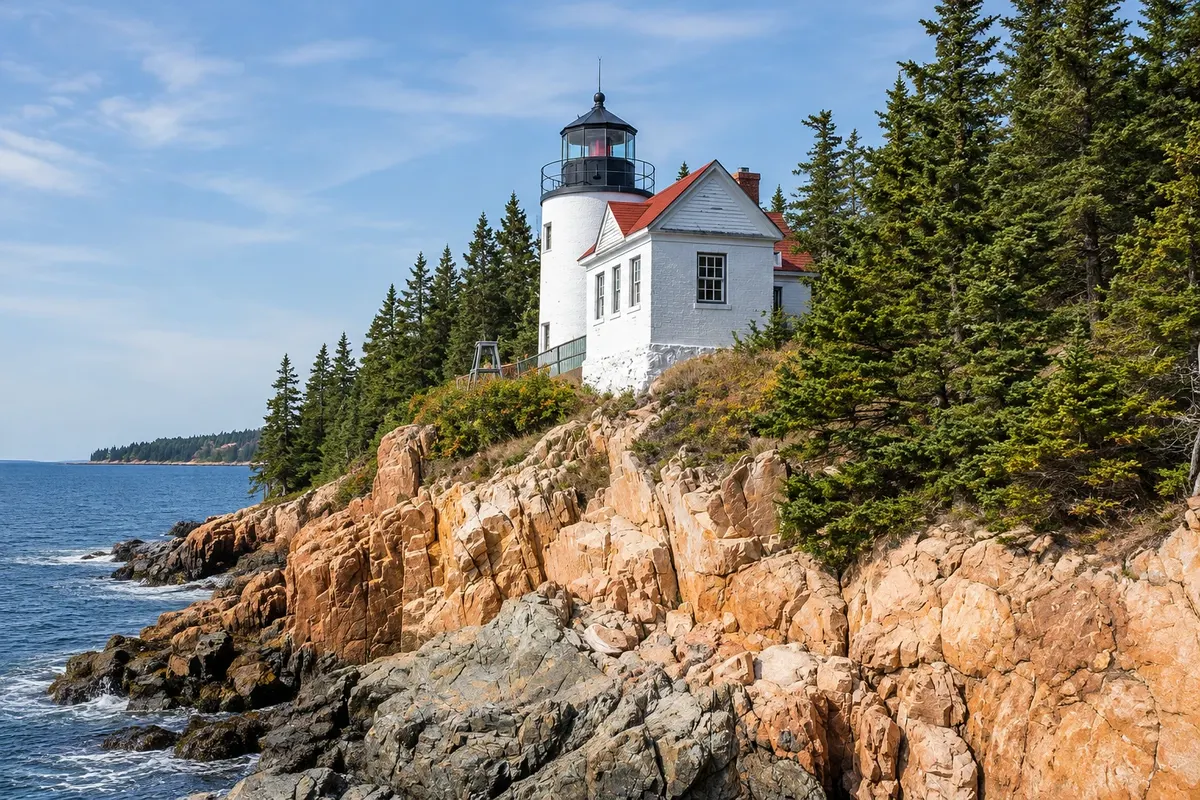
An 1858 lighthouse atop a rocky promontory on the island’s southwest tip, still operational. A staircase descends to the rocks where you can see the white tower on the cliff.
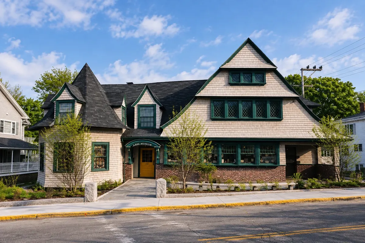
A museum in downtown Bar Harbor dedicated to the Wabanaki, the native peoples of Maine and the Canadian Maritime provinces: history, archaeology, basketry and contemporary art.
Pred odhodom
Bar Harbor – Maine
Razdalje so približne. Pred potovanjem preverite lete in vozne rede avtobusov, vlakov ali ladij.
Trenton Airport (BHB) is about 16 km away, on the other side of the island bridge. From Bangor Airport it’s roughly 75 km via Route 1A. In summer, the Island Explorer buses connect the Trenton visitor center, the Village Green, and the park.
Two days are the minimum for the village and the park. Three or four let you climb Cadillac without rush, hike around Jordan Pond, visit Bass Harbor Light, and take a boat tour.
From June to September, with days between 18 °C and 26 °C and the park bus operating; July and August are the busiest months. In October the leaves change color and visitor numbers drop after the mid-month holiday. From November to April many shops and hotels close and parts of the park are inaccessible by car.
The seasons shown are the most usual ones; nature doesn't always follow the calendar.
In summer you can manage without a car: the center is walkable and the Island Explorer reaches the park and island villages. A car helps for Bass Harbor Light at times when the bus doesn’t run and is required to drive to Cadillac. Outside the season, rent a car. Drive on the right.
Predlog poti
Pot povezuje znamenitosti na tej strani. Za oglede boste imeli dovolj časa.
Enter the park at the Hulls Cove visitor center and follow Park Loop Road to Sand Beach. Walk the Ocean Path to Thunder Hole.
Walk around Jordan Pond with views of the Bubbles, then drive to the top of Cadillac if you reserve vehicle access beforehand.
Return to the village for dinner and finish with a walk along the Shore Path by the bay.
Dan 1
Park Loop Road with stops at Sand Beach, Thunder Hole, and Otter Cliff.
Walk around Jordan Pond and ride a section of the carriage roads, on foot or by a bike rented in the village.
Dan 2
At low tide, walk across the sandbar to Bar Island; then visit the Abbe Museum in town. Check the tide table first.
Cross the island to the west side, pass Southwest Harbor, and reach Bass Harbor Head Light in the late afternoon.
Check before you go. Opening hours and days change, and places may close for renovations, holidays or events. This itinerary is a suggestion from Cidade Turismo, not a commitment: plan yours by checking directly with each place you intend to visit.
Pred odhodom
The town is near trails and carriage roads that enter the park, but the Park Loop Road destinations are several miles away. In summer the Island Explorer runs that route from the Village Green.
Via the sandbar that appears at low tide at the end of Bridge Street. The crossing is possible for only about an hour and a half before and after low tide; check the tide table and leave plenty of time to return, because the tide covers the path.
The village has year‑round residents, but many hotels, restaurants, and shops close between November and April, and the Park Loop Road is closed to cars during that period.
About 75 km via Route 1A, which takes roughly an hour by car outside of summer traffic times.
Več kot vodnik