

Jed · Quito
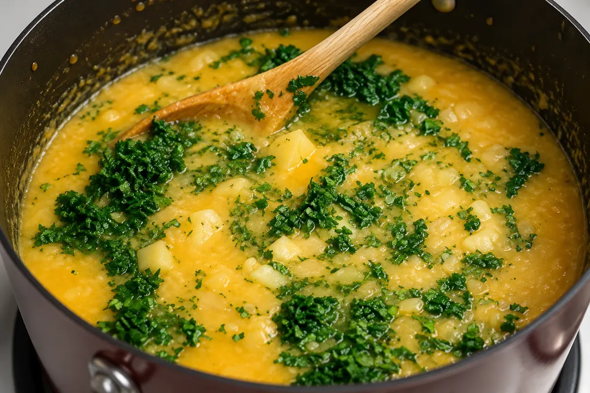
Locro de papa
Thick potato soup with milk and cheese, served with avocado, considered a dish of Quito’s cuisine. It is the dish that the Ministry of Tourism’s gastronomic map designates for the province of Pichincha.

 Išči
 Brazilija
 Antarktika
 Argentina
 Bolivija
 Čile
 KolumbijaEkvator
 Gvajana
 Francoska Gvajana
 Falklandski otoki (Malvini)
 Paragvaj
 Peru
 Surinam
 Urugvaj
 Venezuela
 Nemčija
 Avstrija
 Belgija
 Hrvaška
 Danska
 Slovaška
 Slovenija
 Španija
 Finska
 Francija
 Grčija
 Nizozemska
 Madžarska
 Irska
 Islandija
 Italija
 Luksemburg
 Norveška
 Poljska
 Portugalska
 Združeno kraljestvo
 Češka
 Švedska
 Švica
 Turčija
 Bermudi
 Kanada
 Združene države Amerike
 Grenlandija
 Mehika
 Sveta Peter in Mihael
 Dominikanska republika
 JaponskaTurčija
 Južnoafriška republika
 Egipt
 Avstralija
 Fidži
 Nova Zelandija
 Papua Nova Gvineja
Pichincha · Ekvator Capital
Destinacija: Quito and Mindo.
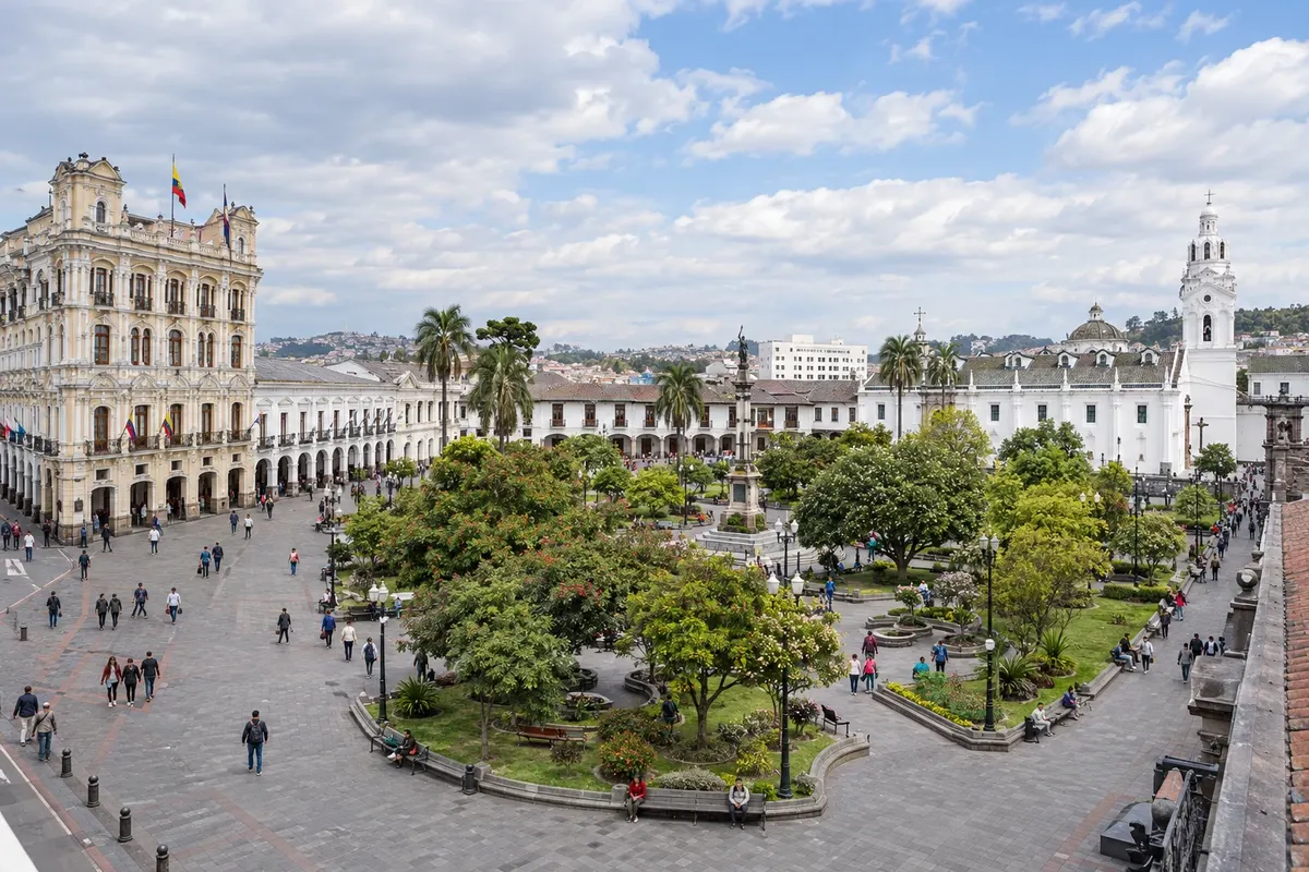
Na fotografiji: Plaza Grande
Illustrative images. The pictures in this guide are illustrations based on the real place, not photographs, and may differ from it.
Mesto
Quito is the capital of Ecuador, in an Andean valley at about 2,850 meters, at the foot of the Pichincha volcano. The Centro Histórico, a UNESCO World Heritage Site since 1978, includes the Plaza Grande, the gilded churches of La Compañía and San Francisco, La Ronda and the Basílica del Voto. El Panecillo and the TelefériQo show the city from above, and the Mitad del Mundo is 25 km away. Days are mild and nights are cold.
V vodniku še ni nastanitev – Quito.
kako do tja · koliko dni · načrt poti · vprašanja
Lokalni okusi – of Ekvator
Doživite kraj
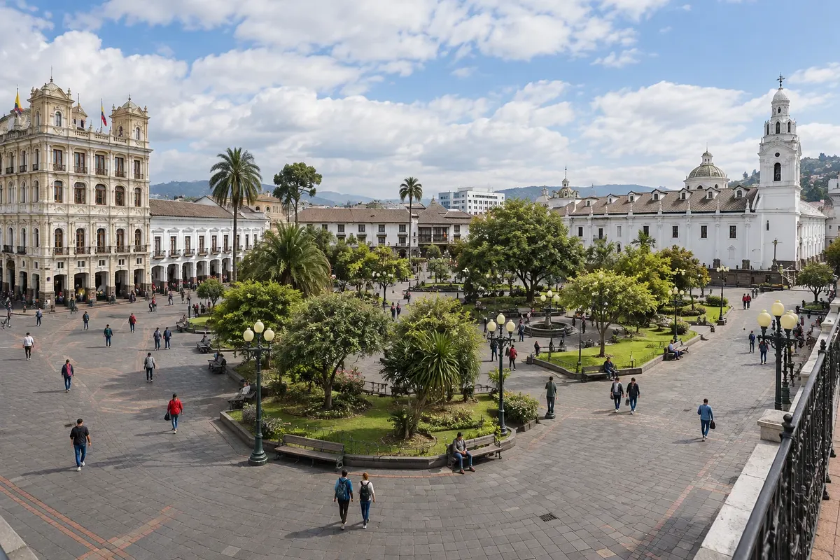
Quito's central square, also called Plaza de la Independencia, with the monument to the heroes of 1809, the Metropolitan Cathedral, the Palacio de Carondelet (the seat of government), and the archbishop's and municipal palaces.
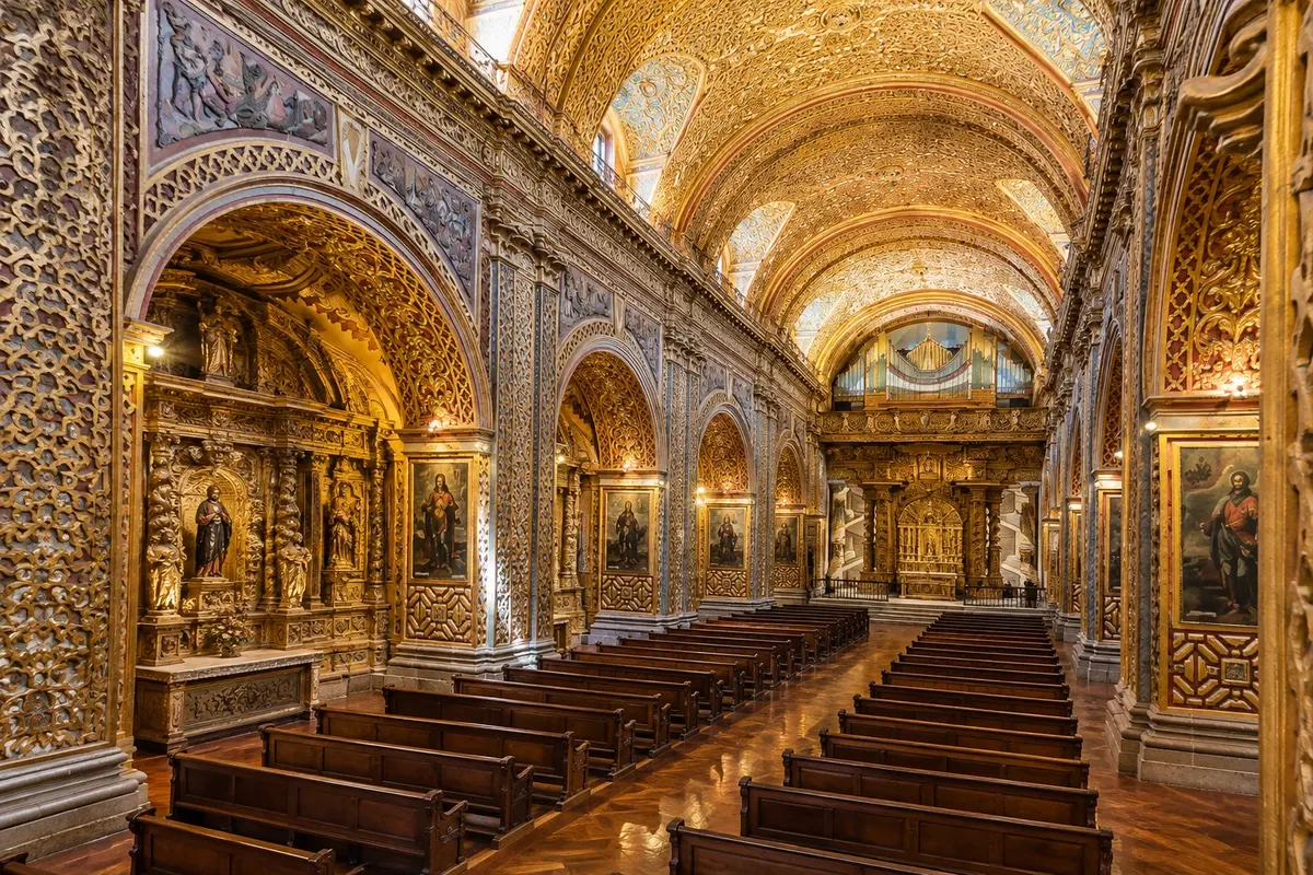
Jesuit church from the 17th and 18th centuries with an interior almost entirely covered in gold leaf, Solomonic columns and a carved volcanic stone façade, located in the Centro Histórico.
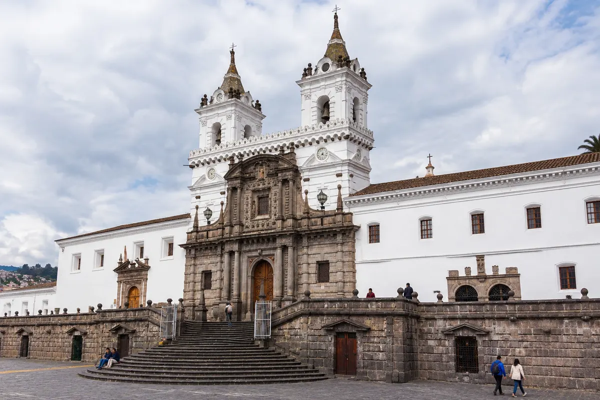
Quito's first major religious complex, begun in 1537, with the stone plaza, the Baroque church, cloisters and the Fray Pedro Gocial colonial art museum.
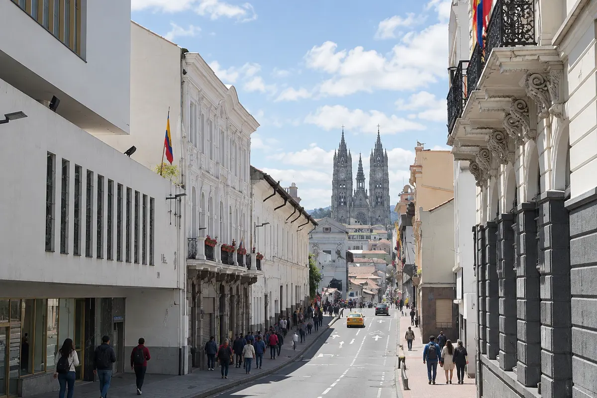
Neogothic basilica high in the Historic Center, with towers you can climb, stained glass windows and gargoyles shaped like Ecuadorian animals such as Galápagos tortoises, iguanas and armadillos.
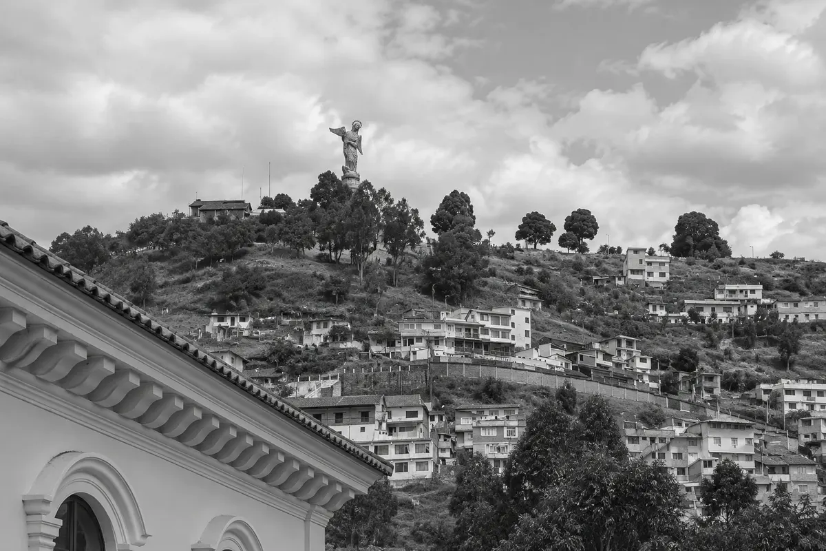
Hill to the south of the Historic Center, at about 3,000 meters, with the Virgen de Quito, a winged aluminum statue over 40 meters tall, and views of the center, the north of the city and the surrounding volcanoes.
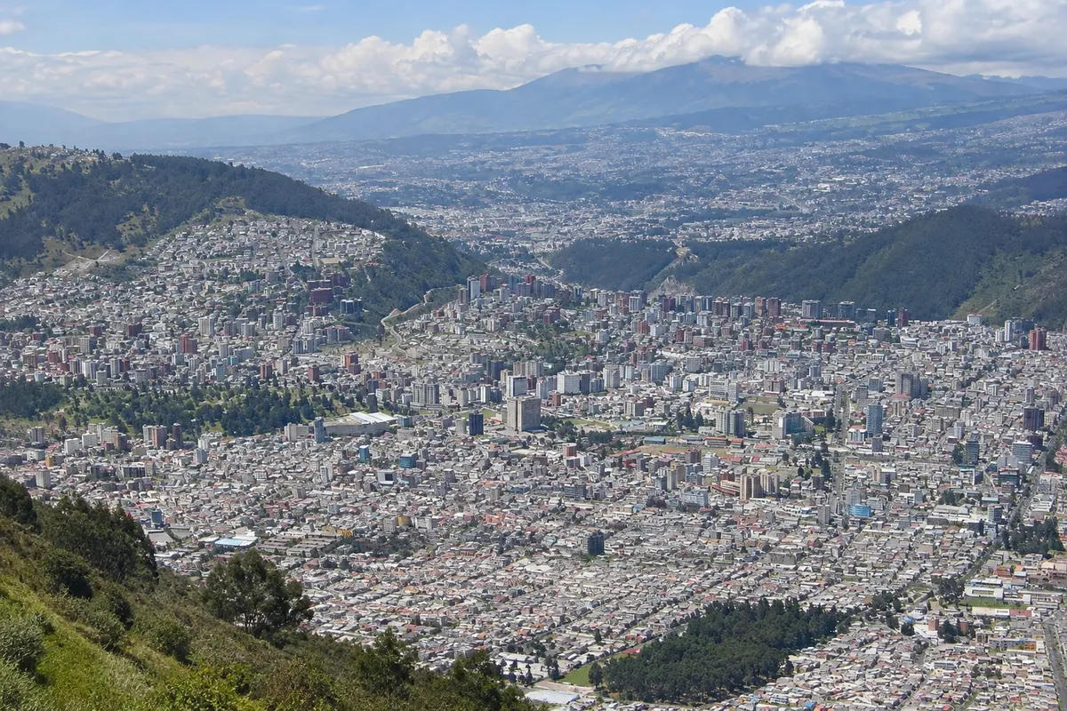
Cable car that climbs the slope of the Pichincha volcano, from about 3,000 to almost 4,000 meters, up to the Cruz Loma viewpoint, with views of all of Quito and trails in the páramo.
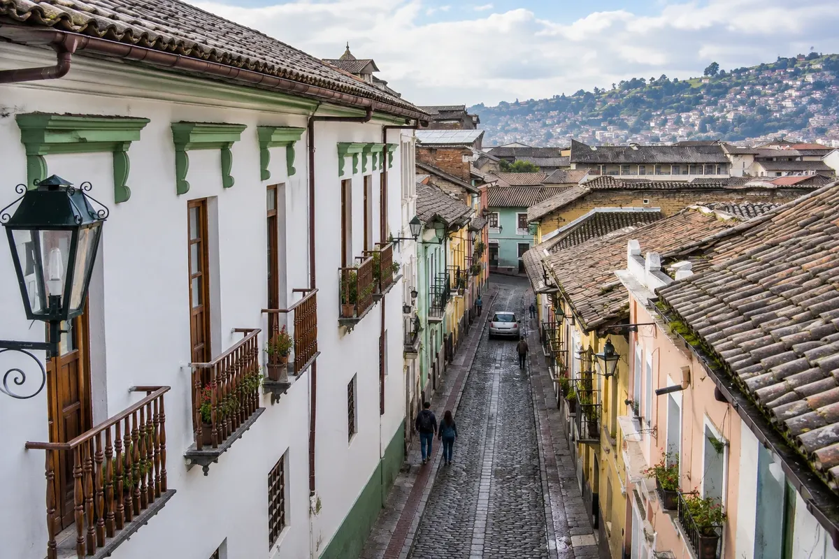
Narrow colonial street in the Historic Center, with houses with flowered balconies, artisan workshops, cafés and bars, lively at night with music and canelazo, a typical hot Quito drink.
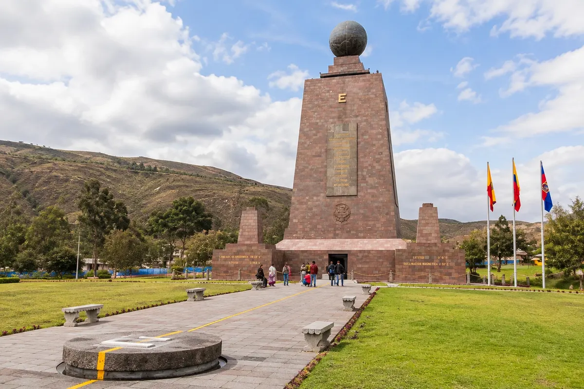
Complex north of Quito with the 30-meter monument marking the Equator line, an ethnographic museum, pavilions and a plaza with restaurants. There you can take the photo with one foot in each hemisphere.
Open-air museum near the Mitad del Mundo, with traditional houses, Andean and Amazonian culture, and experiments on the Equator line, such as balancing an egg on a nail.
Pred odhodom
Quito – Pichincha Destinacija Quito and Mindo Capital
Razdalje so približne. Pred potovanjem preverite lete in vozne rede avtobusov, vlakov ali ladij.
Confirm before buying. Mariscal Sucre International Airport is in Tababela, about 40 km from downtown; a taxi takes 45 minutes to 1h30, and there are buses to the city. Within Quito, the metro links north to south passing through the Centro Histórico, and the Trolebús plus the dedicated-bus corridors complete the system. The Quitumbe terminal in the south and Carcelén and La Ofelia in the north serve other cities.
Three days cover the Centro Histórico, El Panecillo, the TelefériQo and the Mitad del Mundo. With more time, Quito is a base for day trips to Otavalo, Cotopaxi National Park and Mindo.
Temperatures vary little: mild days around 20 °C and cold nights. From June to September it usually rains less; from October to May showers are more frequent, generally in the afternoon. Altitude often affects many travelers during the first days; keep the first day light.
The seasons shown are the most usual ones; nature doesn't always follow the calendar.
No. The Centro Histórico is explored on foot, and the metro, taxis and ride-hailing apps cover the rest. Traffic can be heavy and there are license-plate restrictions. For the Mitad del Mundo and Mindo, take a bus, an organized tour or a private driver.
Predlog poti
Pot povezuje znamenitosti na tej strani. Za oglede boste imeli dovolj časa.
Start at the Plaza Grande, with the Cathedral and the Palacio de Carondelet, then continue to the church of La Compañía on García Moreno.
Visit the San Francisco convent and museum, have lunch in the center and take a taxi up to El Panecillo.
Go to the Basílica del Voto Nacional to see the gargoyles and the downtown view at the end of the day.
Dine in La Ronda, with empanadas de viento, canelazo and music.
Dan 1
Plaza Grande, Cathedral, La Compañía and San Francisco.
Climb the towers of the Basílica del Voto and visit El Panecillo by taxi.
Walk to Plaza de Santo Domingo, in the southern part of the center.
Dinner and music in La Ronda.
Dan 2
Take the TelefériQo early up to Cruz Loma, bring a jacket, for views of the city and the volcanoes.
Head to the Ciudad Mitad del Mundo and the Museo Intiñan in the north.
City stroll and rest at the hotel.
Dine in La Floresta or La Mariscal.
Check before you go. Opening hours and days change, and places may close for renovations, holidays or events. This itinerary is a suggestion from Cidade Turismo, not a commitment: plan yours by checking directly with each place you intend to visit.
Pred odhodom
By taxi from the official rank, 45 minutes to 1h30, or by bus to the city. The airport is in Tababela, about 40 km away.
Locro de papa, potato and cheese soup with avocado; fanesca at Easter; empanadas de viento; humitas; and canelazo, a hot cinnamon drink.
Yes, with stations such as San Francisco, beneath the square of the same name.
In the Centro Histórico to walk to the churches; in La Floresta and La Mariscal for restaurants and bars; in La Carolina for modern hotels.
On clear days, yes: from the TelefériQo, from El Panecillo and from the Basílica you can see Cotopaxi, Cayambe and Antisana.
Več kot vodnik


