

Jed · Guayaquil
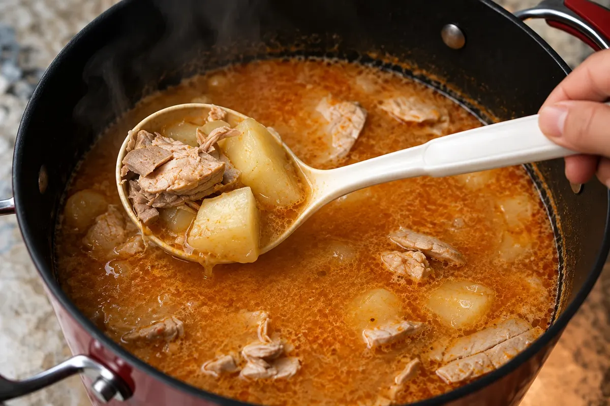
Encebollado
Fish broth with manioc and red onion pickled in lime, served with chifles, popcorn or bread. The encebollado of Guayaquil was declared Intangible Cultural Heritage of Ecuador in 2024.

 Išči
 Brazilija
 Antarktika
 Argentina
 Bolivija
 Čile
 KolumbijaEkvator
 Gvajana
 Francoska Gvajana
 Falklandski otoki (Malvini)
 Paragvaj
 Peru
 Surinam
 Urugvaj
 Venezuela
 Nemčija
 Avstrija
 Belgija
 Hrvaška
 Danska
 Slovaška
 Slovenija
 Španija
 Finska
 Francija
 Grčija
 Nizozemska
 Madžarska
 Irska
 Islandija
 Italija
 Luksemburg
 Norveška
 Poljska
 Portugalska
 Združeno kraljestvo
 Češka
 Švedska
 Švica
 Turčija
 Bermudi
 Kanada
 Združene države Amerike
 Grenlandija
 Mehika
 Sveta Peter in Mihael
 Dominikanska republika
 JaponskaTurčija
 Južnoafriška republika
 Egipt
 Avstralija
 Fidži
 Nova Zelandija
 Papua Nova Gvineja
Guayas · Ekvator Capital
Destinacija: Guayaquil and the coast.
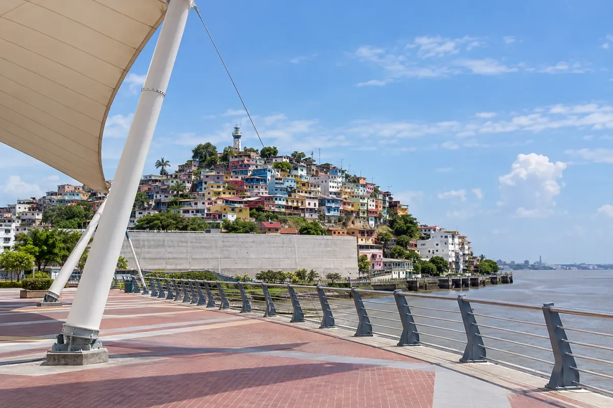
Na fotografiji: Las Peñas neighborhood and Cerro Santa Ana
Illustrative images. The pictures in this guide are illustrations based on the real place, not photographs, and may differ from it.
Mesto
Guayaquil is Ecuador's largest city and its main port, on the banks of the Guayas River. Malecón 2000 runs along the river with gardens and monuments; at the northern tip, the Las Peñas neighborhood climbs Cerro Santa Ana up to the lighthouse. In the center are Parque Seminario, with free-roaming iguanas, and the cathedral; to the west, Malecón del Salado; on the other side of the river, Parque Histórico and Isla Santay.
V vodniku še ni nastanitev – Guayaquil.
kako do tja · koliko dni · načrt poti · vprašanja
Lokalni okusi – of Ekvator
Doživite kraj
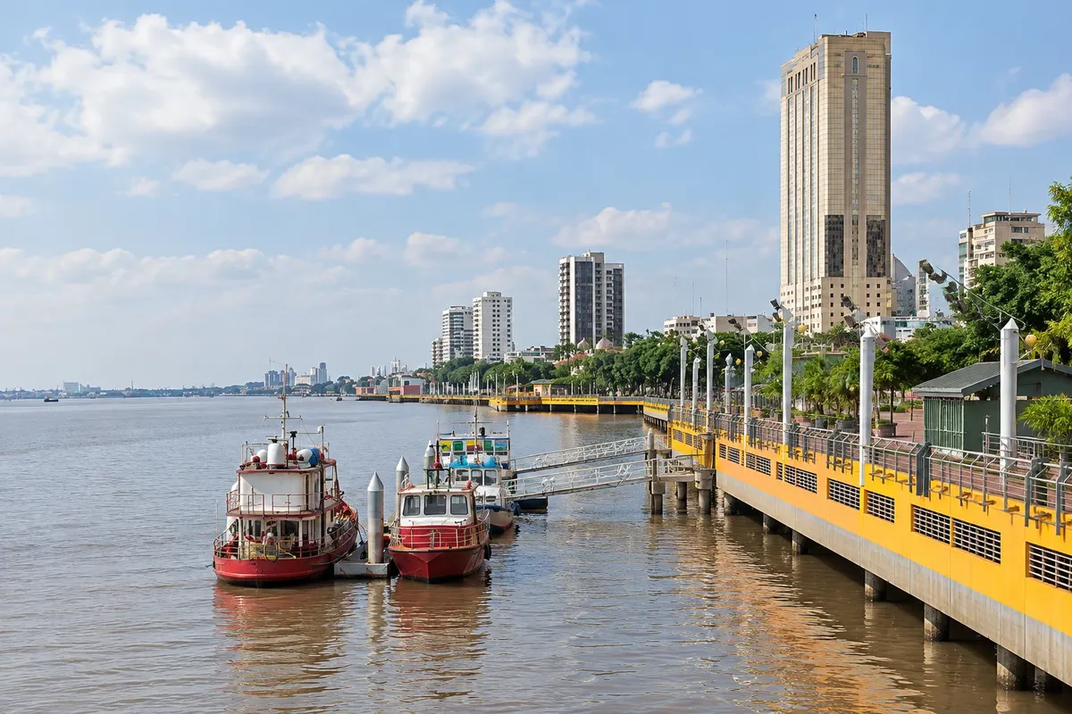
The waterfront of about 2.5 km along the Guayas River, with gardens, the Hemiciclo de la Rotonda, the Torre Morisca and the old market of the Palacio de Cristal.
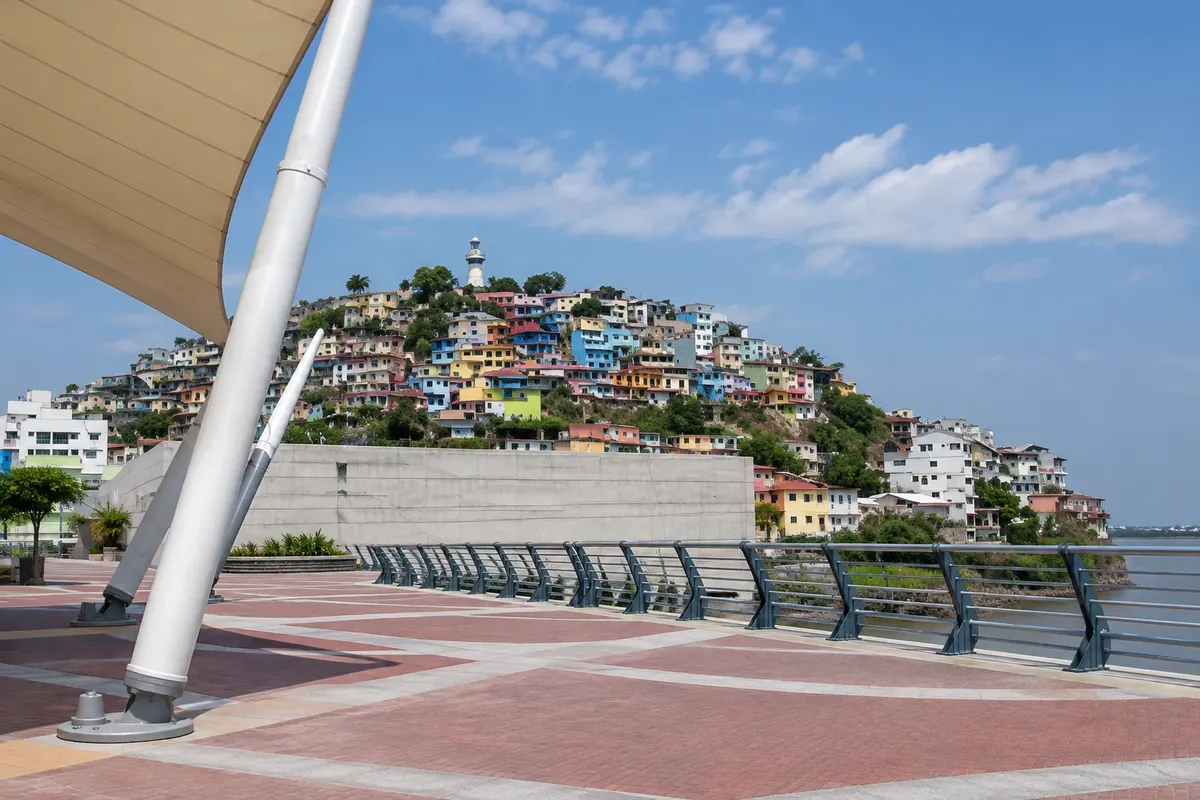
The oldest neighborhood in Guayaquil, with colorful wooden houses on the slopes of Cerro Santa Ana, and the climb of 444 steps up to the lighthouse, the chapel and the viewpoint over the river.
Guayaquil's former plaza de armas, in front of the cathedral, known as Parque de las Iguanas: hundreds of iguanas roam freely among the trees and benches.
The Cathedral of San Pedro, in neo-Gothic style, in front of Parque Seminario, on the site of the city's first church from the 16th century.
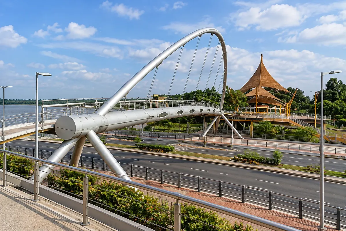
The waterfront of the Estero Salado, a branch of the sea that enters Guayaquil from the west, with a promenade, a bridge and a large water-and-light fountain.
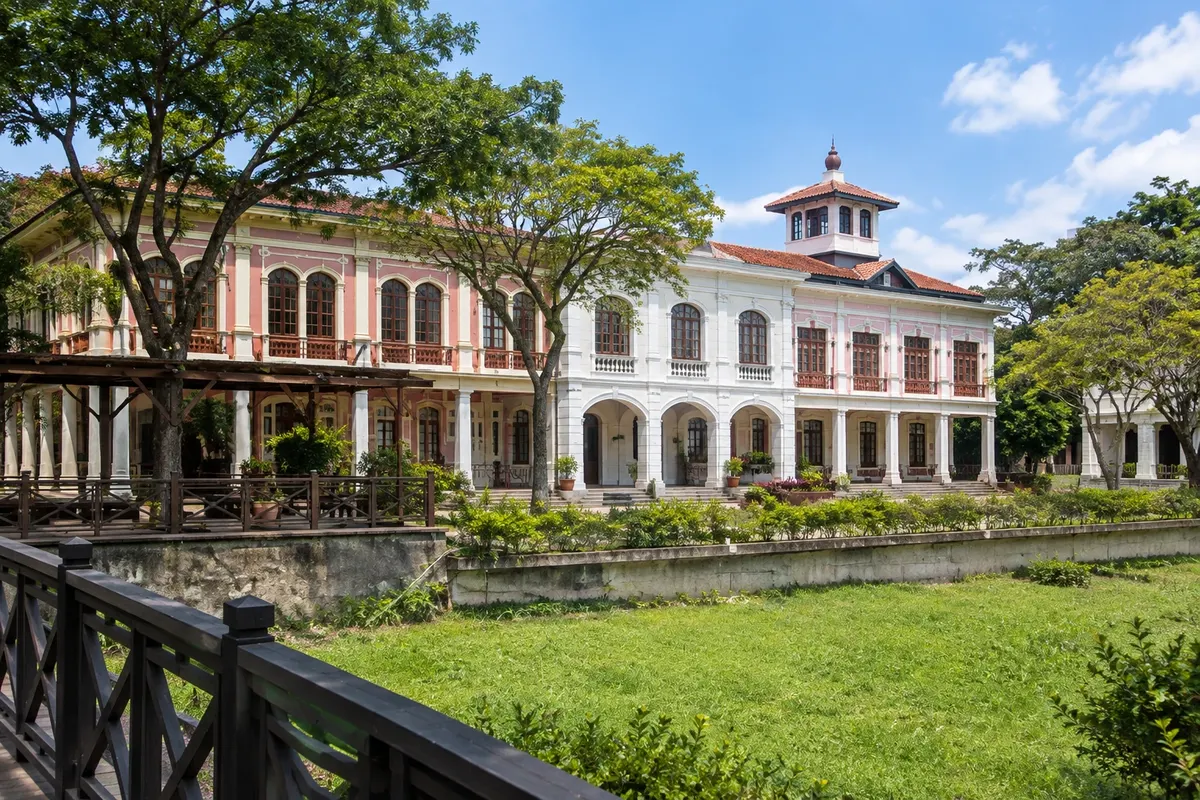
An 8-hectare park in Samborondón with regional animals, an area showcasing rural traditions, and old Guayaquil houses that were dismantled and reassembled.
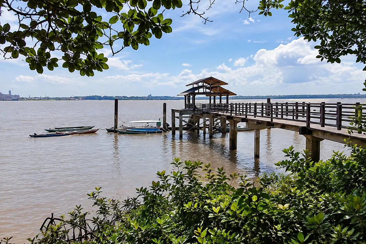
Island of mangroves in the Guayas River, opposite Guayaquil, a protected area and Ramsar site, with an ecological village and boardwalks, connected to the city by a pedestrian and bicycle bridge.
Pred odhodom
Guayaquil – Guayas Destinacija Guayaquil and the coast Capital
Razdalje so približne. Pred potovanjem preverite lete in vozne rede avtobusov, vlakov ali ladij.
Check before buying. José Joaquín de Olmedo Airport is about 5 km from downtown, and the bus terminal is next to it, with buses to the coast, Cuenca and Quito. Flights to the Galápagos also depart from Guayaquil.
One day covers the Malecón, Las Peñas and Cerro Santa Ana, Parque Seminario and the cathedral. With two days you can add Parque Histórico, Malecón del Salado and Isla Santay. Many people spend one or two days in the city before heading to the coast or the Galápagos.
Guayaquil is warm year-round. From December to May is the rainy season, with heat, high humidity and strong afternoon showers. From June to November the weather tends to be drier, cooler and cloudier. In July the city celebrates its founding, and in October its independence, with events downtown.
The seasons shown are the most usual ones; nature doesn't always follow the calendar.
No. The Malecón, Las Peñas, Parque Seminario and the cathedral are close to each other and can be done on foot. For Parque Histórico, Malecón del Salado and the airport, use a taxi or ride-hailing service; the Metrovía bus rapid transit links the center with other neighborhoods.
Predlog poti
Pot povezuje znamenitosti na tej strani. Za oglede boste imeli dovolj časa.
Start at Parque Seminario, with the iguanas and the statue of Bolívar, and enter the cathedral across the street.
Walk down to the river and stroll along the Malecón, passing the Hemiciclo de la Rotonda, the Torre Morisca and the gardens.
At the end of the Malecón, climb the 444 steps of Cerro Santa Ana up to the lighthouse to see the river and the city at sunset.
Dine in the bars and restaurants on the steps of Cerro Santa Ana. Try encebollado, the coastal fish soup.
Dan 1
Parque Seminario, the cathedral and the downtown streets.
Walk along the Malecón and the riverside gardens.
Climb to the lighthouse and sunset.
Have dinner on the steps.
Dan 2
Go to the Parque Histórico, in Samborondón, to see the region's animals and the city's old houses.
Cross the pedestrian bridge to Isla Santay and walk along the boardwalks through the mangroves. Check beforehand if the bridge is open.
Walk along the Malecón del Salado, on the edge of the estuary.
Dine in the Urdesa neighborhood, which has many restaurants.
Check before you go. Opening hours and days change, and places may close for renovations, holidays or events. This itinerary is a suggestion from Cidade Turismo, not a commitment: plan yours by checking directly with each place you intend to visit.
Pred odhodom
About 15 to 20 minutes by taxi, depending on traffic. The airport is about 5 km from the Malecón.
The city is hot and humid year-round. From December to May, with the rains, the heat increases; from June to November the weather is usually cooler and cloudy.
Yes, there are flights from Guayaquil to the islands of Baltra and San Cristóbal. There is biosafety control and a park entry fee; check the rules before you go.
Encebollado, the fish soup with cassava, shrimp ceviche, rice with menestra and meat, bolón de verde, and for breakfast, the cheese bread called pan de yuca.
One or two days, before heading to the coast, the Sierra, or the Galápagos.
Več kot vodnik


