Riobamba and Chimborazo

Chimborazo · Ekvator

Riobamba and Chimborazo

The Chimborazo volcano, whose summit is the point on the surface farthest from the center of the Earth, the center of Riobamba and, in Alausí, the train that descends in a zigzag along the Devil’s Nose.

Highlands (Andes)

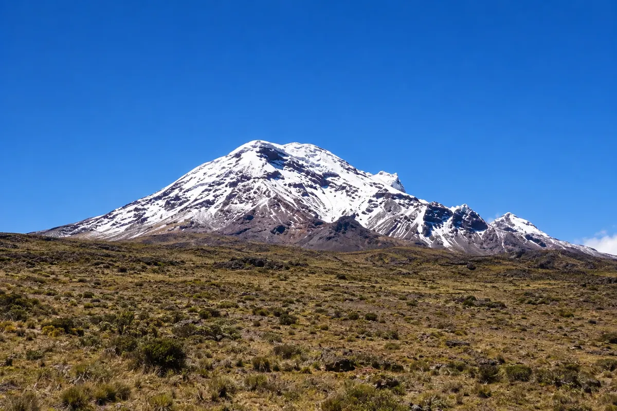
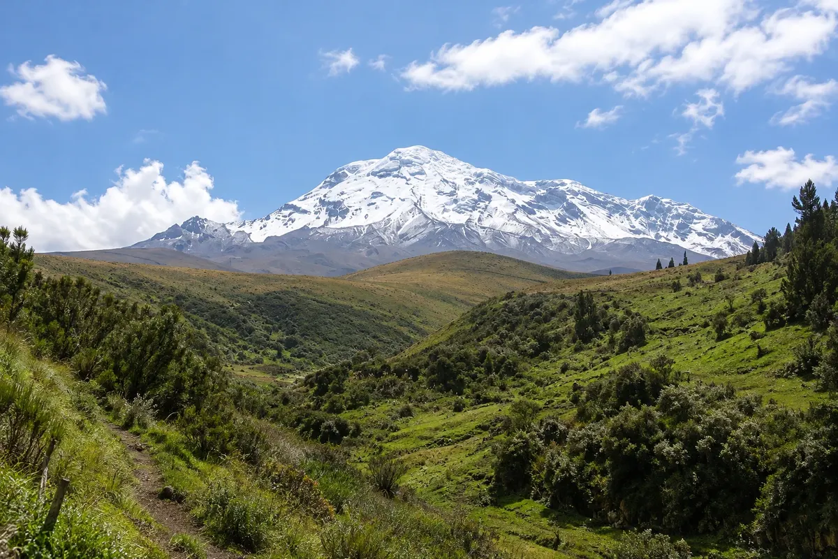
Na fotografiji: Chimborazo seen from the páramo, in Chimborazo province.

Illustrative images. The pictures in this guide are illustrations based on the real place, not photographs, and may differ from it.

Na voljo v trgovini Google Play Pošljite svoje fotografije

Spoznajte kraj

Pokrajina, ki jo doživite
v svojem ritmu.

The province of Chimborazo occupies the central highlands of Ecuador, in a high valley between the eastern and western ranges of the Andes. The name comes from the volcano that dominates the horizon northwest of Riobamba, the country’s highest peak, capped with ice. Near the Equator, where the planet bulges most, Chimborazo’s summit sits farther from the center of the Earth than Everest’s summit, and no other spot on the surface is as distant from it.

The mountain lies within a páramo reserve created to bring back vicuñas, which returned to the grasslands of the slopes in the late 1980s. A dirt road carries visitors to a mountain refuge above 4,800 meters, and a short hike leads to another refuge near 5,000 meters.

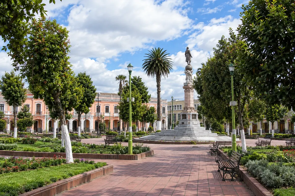
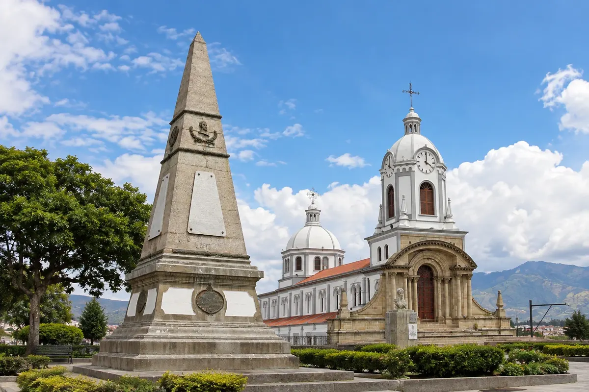
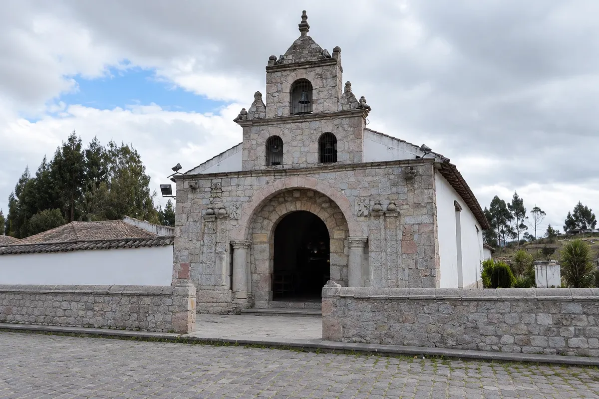
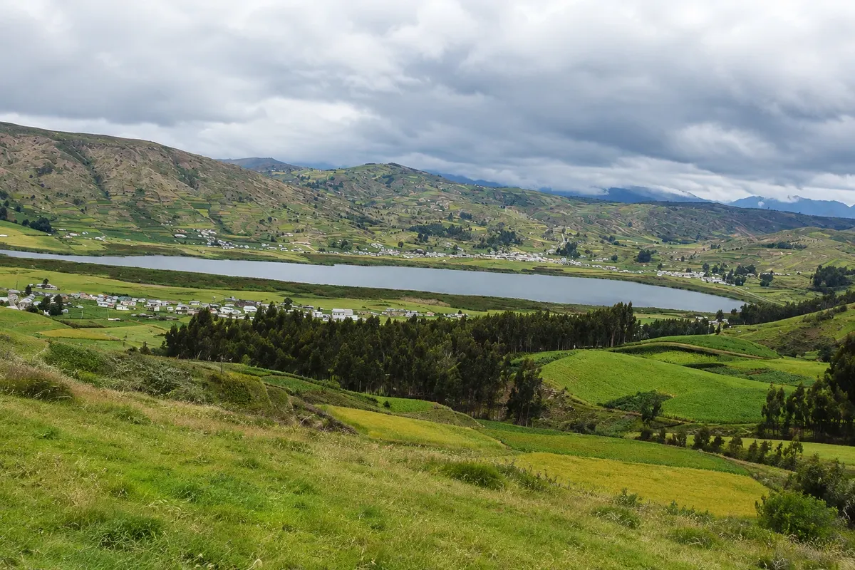
Riobamba, the provincial capital, sits at about 2,750 meters and is the base for the volcano. The city was rebuilt in a different location after the 1797 earthquake that buried colonial Riobamba, where Cajabamba in the canton of Colta now stands. The grid-style center brings together the cathedral, built with stones brought from the old city, the basilica with its pink dome, and the Loma de Quito, where the battle of April 21, 1822, was fought. In 1830, Ecuador’s first Constituent Assembly met in the city. On the road to the south are Laguna de Colta, with totora-lined shores, and the Church of Balbanera, considered the oldest Catholic church in Ecuador.

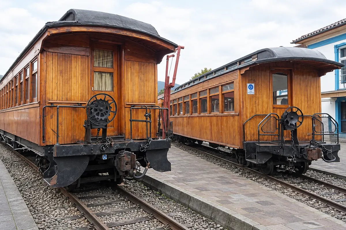
In the southern part of the province, Alausí is the departure point for the train that climbs the Devil’s Nose, a rock face on the slope of Mount Pistishí: the track descends about 500 meters in a zigzag down to Sibambe station. Runs take place from Thursday to Sunday and on holidays; because the line has stopped during storms and for repairs, it’s worth checking service before planning the day.

From the city to the refuges, altitude rises from 2,750 to over 4,800 meters. Many travelers experience shortness of breath and fatigue during the first days above 2,500 meters; spending at least one night in Riobamba before ascending the volcano and walking slowly at high elevations helps you enjoy the visit.

This destination brings together 2 cities: Riobamba, Alausí.

Delite: WhatsApp
Delite svoja popotniška doživetja s fotografijami Pošljite fotografije vsakega kraja, ki ste ga obiskali. Največje število fotografij na kraj: 5.

Ena destinacija, več poti

Mesta na tej poti

Začnite v enem mestu ali v načrt poti vključite več mest.

Riobamba and Chimborazo – lega
AlausíRiobamba

Obrisi: Natural Earth (javna domena). Priredba: Cidade Turismo.

Kako do tja:Riobamba and Chimborazo

✈ Aeropuerto Internacional Mariscal Sucre (UIO), kraj: Quito· 230 km do cilja (Riobamba)

The nearest air gateway is Quito (UIO), about 230 km from Riobamba along the Pan-American Highway; buses leave from the Quitumbe terminal in Quito and take three to four hours. Guayaquil (GYE) is the country’s other major entry. Riobamba has no commercial flights, and Alausí is about 95 km to the south. Entry requirements for Ecuador depend on nationality: confirm before you travel.

Predlagana točka prihoda:Riobamba

Doživite kraj

Kaj početi – Riobamba and Chimborazo

Devil's Nose Train
Alausí · Chimborazo · Steam train ride

Devil's Nose Train

The best-known section of the old railway between Guayaquil and Quito: the train leaves from Alausí, drops about 500 meters in altitude on a zigzag alignment along a rock face to Sibambe station, and returns the same way.

Chimborazo Volcano
Riobamba · Chimborazo · Volcano

Chimborazo Volcano

The highest peak in Ecuador, over 6,200 meters, and the point on Earth’s surface farthest from the planet’s center. Vicuñas live in the páramo around it, and a dirt road leads to mountain refuges.

Cathedral of Riobamba
Riobamba · Chimborazo · Cerkev

Cathedral of Riobamba

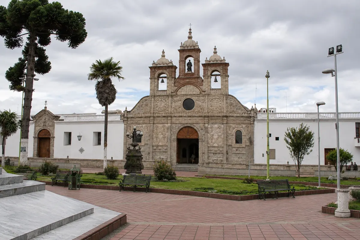
The Cathedral of San Pedro, facing Maldonado Park, with a carved white stone façade; some of the stones were brought from the old Riobamba, destroyed by the 1797 earthquake.

Monument to Saint Peter
Alausí · Chimborazo · Monument

Monument to Saint Peter

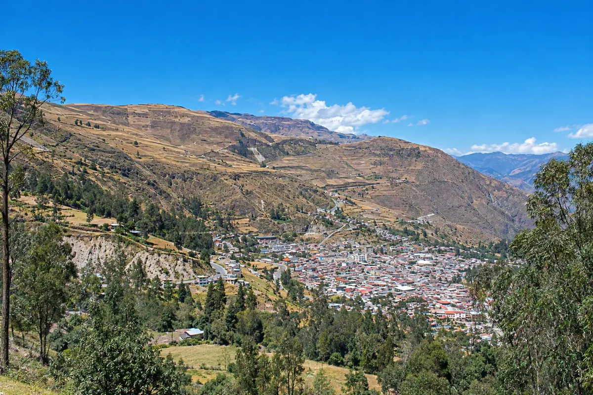
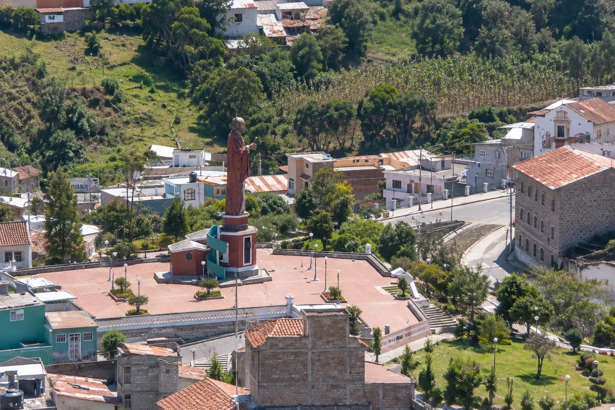
A 21-meter statue of Alausí’s patron, covered in ceramic mosaics, atop Loma de Lluglli; the viewpoint looks over the town roofs and the valley.

Riobamba and Chimborazo – prikaži dodatne kraje (4)
Basilica of the Sacred Heart of Jesus
Riobamba · Chimborazo · Cerkev

Basilica of the Sacred Heart of Jesus

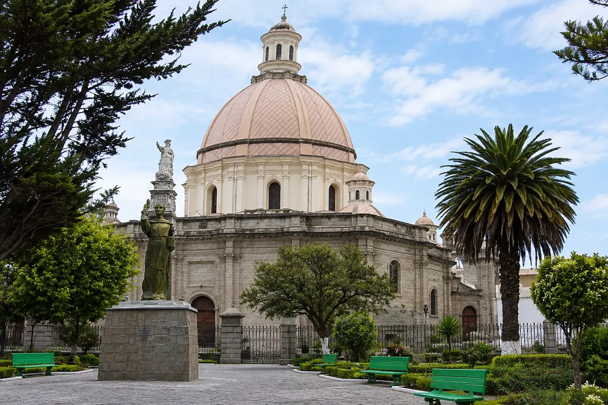
Neoclassical church with a pink dome facing La Libertad Park, built between 1883 and 1915 with donations and labor from the townspeople.

Loma de Quito
Riobamba · Chimborazo · Razgledišče

Loma de Quito

A hill in central Riobamba with the church of San Antonio and 21 de Abril Park, which commemorates the 1822 combat. On clear days the viewpoint shows Chimborazo and other volcanoes around the valley.

Balbanera Church
Riobamba · Chimborazo · Cerkev

Balbanera Church

Small stone church beside Laguna de Colta, founded in 1534 and considered the country’s first Catholic temple. On the façade, a colonial portal; at the altar, the Virgin of Balbanera.

Laguna Colta
Riobamba · Chimborazo · Lagoon

Laguna Colta

Lagoon at about 3,300 meters, with shores covered in totora, water birds and llamas and sheep grazing on the grasslands; the Church of Balbanera is beside it.

Pred odhodom

Praktične informacije

Z nekaj načrtovanja boste imeli več časa za uživanje na poti.

Kdaj se odpraviti

Temperature varies little through the year: in Riobamba days are pleasantly sunny and nights chilly; at the Chimborazo refuges temperatures stay near zero and it can snow in any month. June, July, August and September are generally the driest months, with the volcano visible more often. Between October and May it rains more frequently, especially in the afternoon, when fog tends to cover the summit.

The seasons shown are the most usual ones; nature doesn't always follow the calendar.

Koliko dni ostati

Three days allow for one day in downtown Riobamba and at the Loma de Quito, one full day for Chimborazo, and one day for Laguna de Colta, the Church of Balbanera and the train in Alausí. With four or five days you can do the hike to the Whymper refuge at a relaxed pace, spend a night in Alausí, and include a rest day to adapt to the altitude.

V katerem mestu prenočiti

In Riobamba, the historic center around Parque Maldonado puts the cathedral, basilica and Loma de Quito within walking distance. Daniel León Borja Avenue, northwest of the center, also concentrates hotels and restaurants. In the surroundings, haciendas and rural lodgings lie along the road to Chimborazo. In Alausí, accommodations are basic and located in the town center near the station; staying in town avoids the round trip from Riobamba on the day of the train.

Spoštujte kraj

Odnesite svoje odpadke, upoštevajte oznake in podprite lokalne ponudnike. V naravi upoštevajte navodila za obiskovalce.

Odgovori na vaša vprašanja

Pogosta vprašanja – Riobamba and Chimborazo

Why is Chimborazo the point farthest from the center of the Earth?

Because the planet is flattened at the poles and wider at the Equator. Located about 160 km south of that line, Chimborazo’s summit is roughly 2 km farther from the planet’s core than Everest’s summit, even though Everest is much higher above sea level.

How many days to set aside for Riobamba and Chimborazo?

Three days: one for downtown Riobamba, one for the volcano and one for Laguna de Colta and the Devil’s Nose train in Alausí. Travelers coming from low elevations benefit from an extra day to adapt to the altitude.

Do you need a car to visit Chimborazo?

It’s not mandatory. Tours and taxis run from Riobamba to the Hermanos Carrel refuge, and buses on the road to Guaranda stop at the reserve entrance, from where the climb to the refuge is long. With your own car, the itinerary between the volcano, Colta and Alausí is more flexible.

Can you go to Chimborazo as a day trip from Quito?

Yes, with a tour or driver, but it makes for a long day: it’s about three and a half hours of driving one way. Sleeping in Riobamba lets you reach the volcano in the morning, when fog is usually less, and helps with altitude adaptation.

What is the best time to visit Chimborazo?

The months from June to September tend to be the driest, with the summit visible more often. In any month, morning and early afternoon tend to have clearer skies; later the fog usually rises.

Odkrijte druge destinacije Iskanje po zvezni državi in mestu

Več kot vodnik