Barahona and Pedernales

Barahona · Pedernales · Independencia · Dominikanska republika

Barahona and Pedernales

The wild southwest: rocky beaches with rivers that flow into the sea, Bahía de las Águilas, Hoyo de Pelempito and Lago Enriquillo, below sea level, with crocodiles and iguanas.

Southwest: Barahona and Pedernales

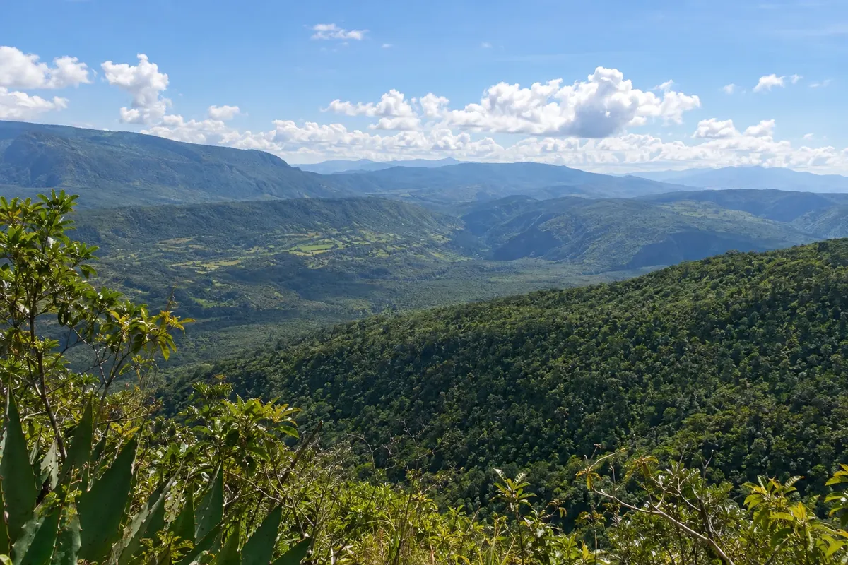
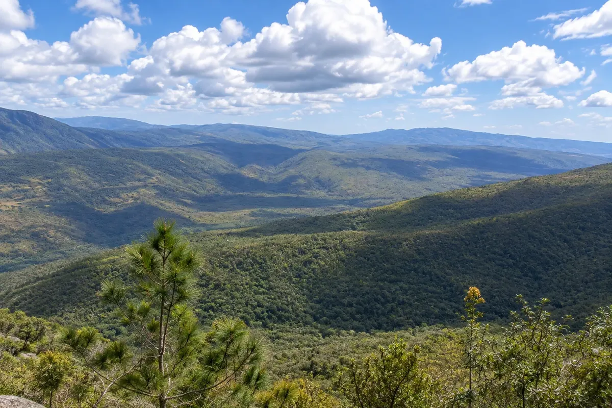
Na fotografiji: Hoyo de Pelempito, in the Sierra de Bahoruco

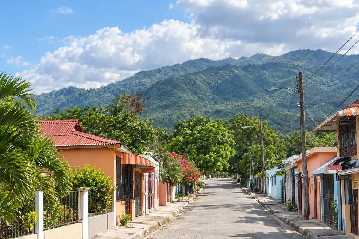
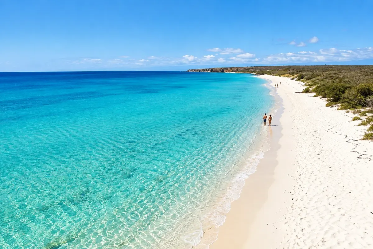
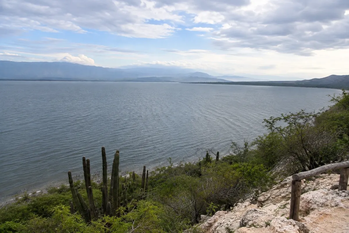
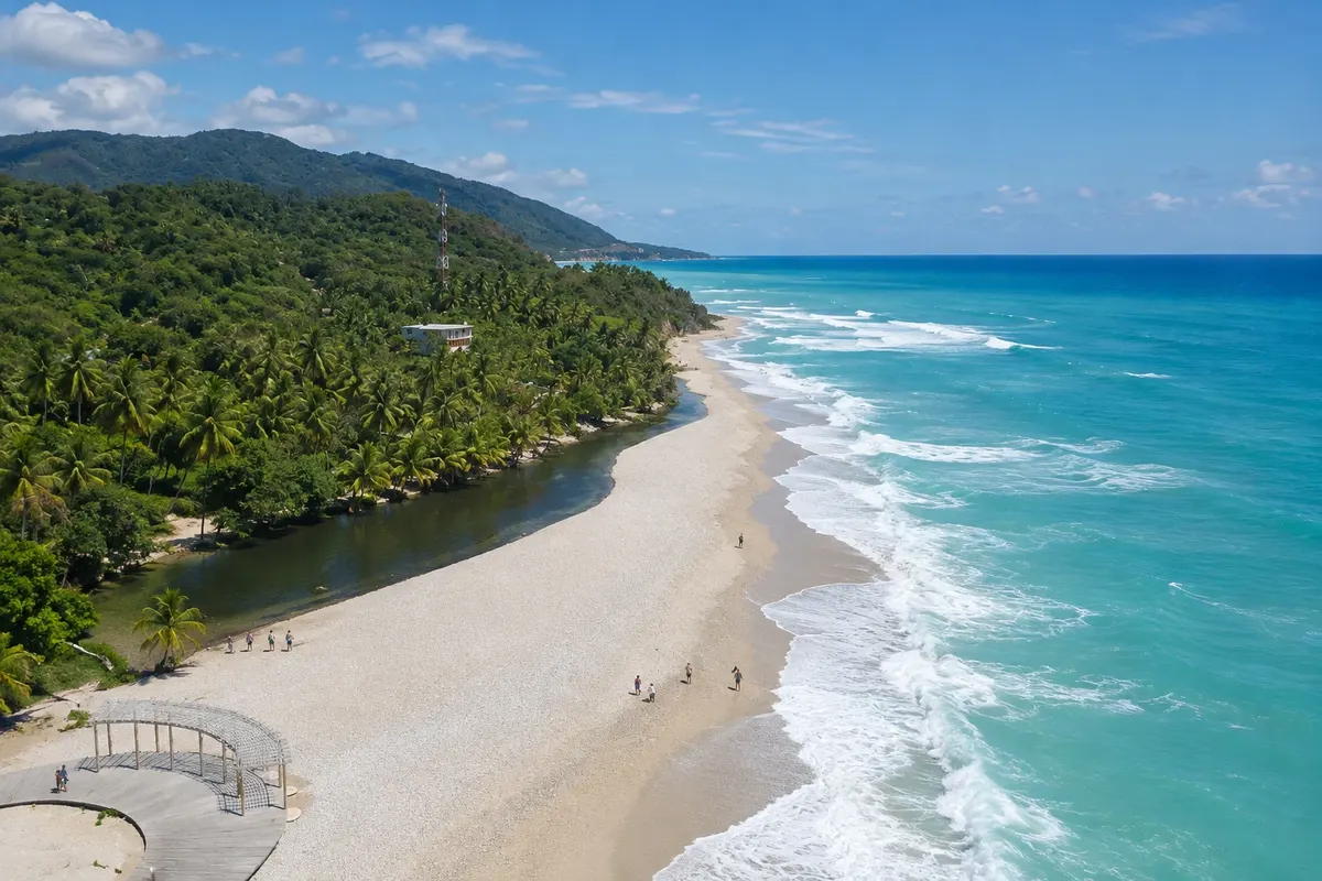
Illustrative images. The pictures in this guide are illustrations based on the real place, not photographs, and may differ from it.

Na voljo v trgovini Google Play Pošljite svoje fotografije

Spoznajte kraj

Pokrajina, ki jo doživite
v svojem ritmu.

The southwest of the Dominican Republic is the least visited and wildest part of the country. Between Barahona and the border, the Sierra de Bahoruco drops to the Caribbean Sea along a coast of cliffs, white pebble beaches and cold rivers that originate in the mountains and reach the sand. The landscape changes quickly: humid forest on the slopes, cacti and dry scrub on the plains, salt pans and lagoons.

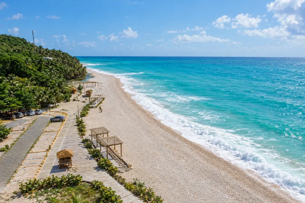
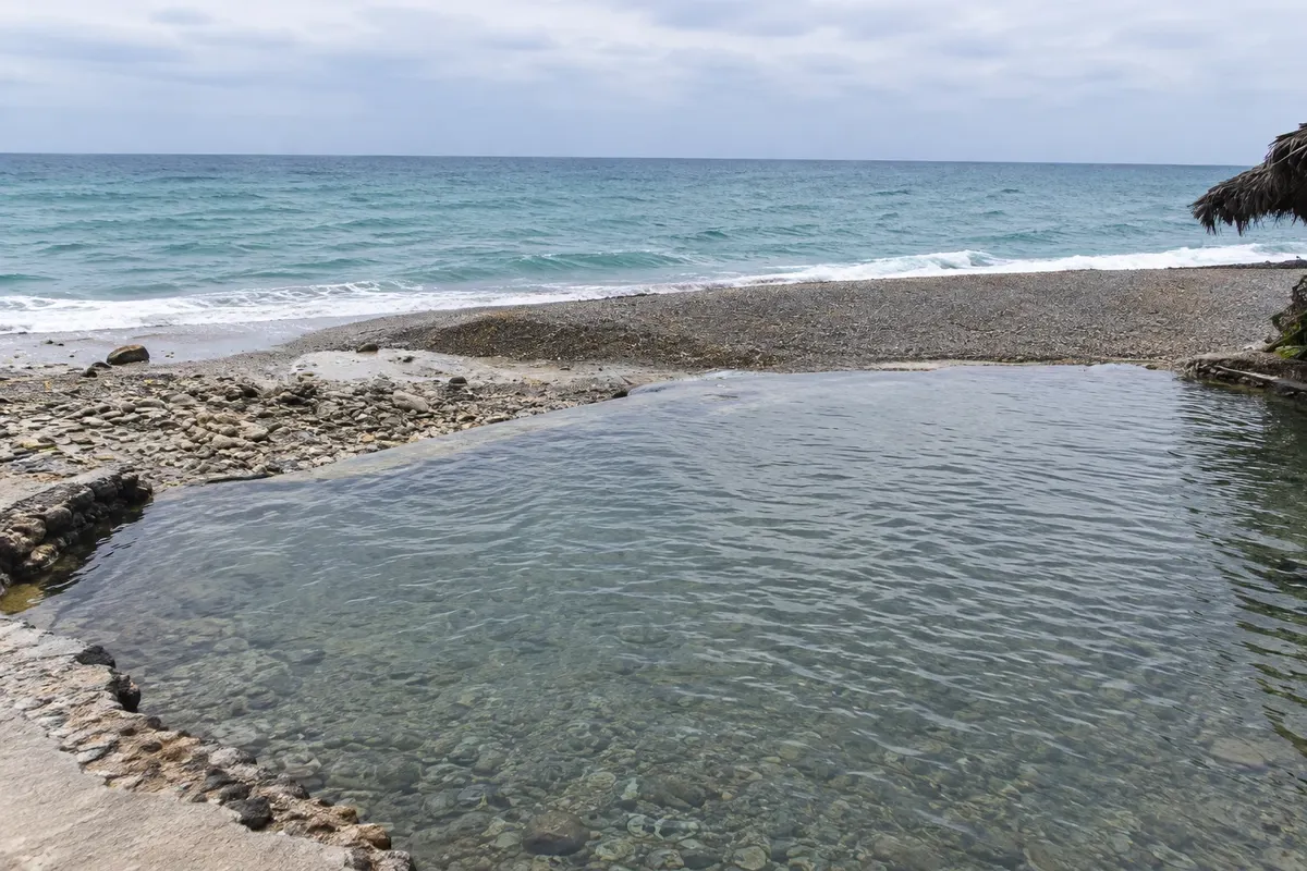
The coastal road south of Barahona passes fishing villages and beaches where rivers meet the sea, like San Rafael and Los Patos, with freshwater pools next to the surf. It is also the larimar region, the blue stone that exists only here and is mined in the mountains above the coast.

Further west, the province of Pedernales is home to Bahía de las Águilas, one of the most isolated and preserved beaches in the Caribbean, reached by boat or dirt road, within Parque Nacional Jaragua. In the Sierra de Bahoruco, Hoyo de Pelempito is a huge depression covered in forest. Inland, Lago Enriquillo lies more than 40 meters below sea level, with salt water, American crocodiles, rhinoceros iguanas and flamingos.

It’s a destination for people who enjoy driving, nature and uncrowded places, willing to accept basic lodging and long distances.

This destination brings together 4 cities: Barahona, Paraíso, Pedernales, La Descubierta.

Delite: WhatsApp
Delite svoja popotniška doživetja s fotografijami Pošljite fotografije vsakega kraja, ki ste ga obiskali. Največje število fotografij na kraj: 5.

Ena destinacija, več poti

Mesta na tej poti

Začnite v enem mestu ali v načrt poti vključite več mest.

Barahona and Pedernales – lega
ParaísoLa DescubiertaPedernalesSanta Cruz de Barahona

Meje: Oficina Nacional de Estadística / OCHA-HDX / geoBoundaries (CC BY 3.0 IGO). Priredba: Cidade Turismo.

Kako do tja:Barahona and Pedernales

✈ Aeropuerto Internacional María Montez (BRX), kraj: Barahona· 13 km do cilja (Barahona)

Check before buying. From Santo Domingo, Barahona is about three and a half hours by car or bus via the southern road, passing Baní and Azua. Barahona has a small international airport, María Montez (BRX), with few flights. Pedernales is about another two and a half hours along the coast.

Predlagana točka prihoda:Barahona

Doživite kraj

Kaj početi – Barahona and Pedernales

Bahía de las Águilas
Pedernales · Pedernales · Plaža

Bahía de las Águilas

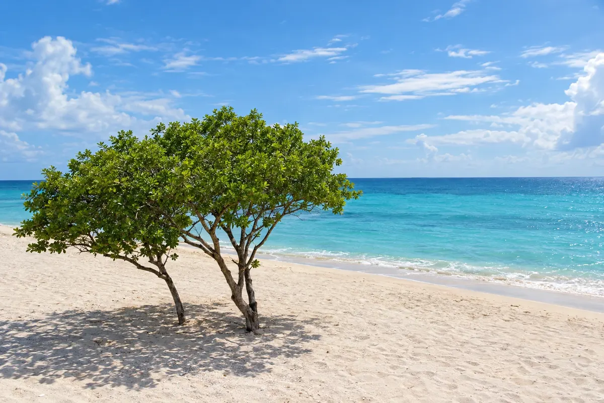
One of the most isolated beaches in the Caribbean: about 8 km of white sand and turquoise sea with no buildings, inside Parque Nacional Jaragua, near Cabo Rojo.

Lago Enriquillo and Isla Cabritos National Park
La Descubierta · Independencia · Park

Lago Enriquillo and Isla Cabritos National Park

The lowest salty lake in the Caribbean, more than 40 meters below sea level, with American crocodiles, rhinoceros iguanas, flamingos and Isla Cabritos in the middle.

Los Patos Beach
Paraíso · Barahona · Plaža

Los Patos Beach

A pebble-and-sand beach south of Paraíso where a short cold-water river rises at the foot of the mountain and forms a clear lagoon beside the sea.

San Rafael Beach
Barahona · Barahona · Plaža

San Rafael Beach

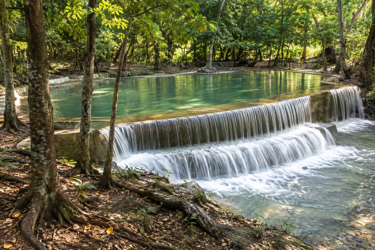
A stony, wave-beaten beach south of Barahona where a mountain river descends in small falls and forms cold freshwater pools beside the sea.

Barahona and Pedernales – prikaži dodatne kraje (2)
Las Barías Beach Resort
La Descubierta · Independencia · Natural pool

Las Barías Beach Resort

A bathing spot of fresh, cold springs that emerge at the foot of the mountain in La Descubierta, with pools in the shade of large trees, near Lake Enriquillo.

Hoyo de Pelempito
Pedernales · Pedernales · Razgledišče

Hoyo de Pelempito

A huge forested sinkhole in the Sierra de Bahoruco, seen from a viewpoint over 1,400 meters above sea level, inside a national park north of Pedernales.

Pred odhodom

Praktične informacije

Z nekaj načrtovanja boste imeli več časa za uživanje na poti.

Kdaj se odpraviti

From December to April it usually rains less and the heat is more bearable at Lago Enriquillo, which is very hot year-round. From June to November is hurricane season, and the southern coast can get heavy rains from August to October. Rivers run fuller after the rains.

The seasons shown are the most usual ones; nature doesn't always follow the calendar.

Koliko dni ostati

Four to five days: one for the beaches and rivers of San Rafael and Los Patos, two for Pedernales including Bahía de las Águilas and Hoyo de Pelempito, and one for Lago Enriquillo. If time is short, you can do Barahona’s coast in two days.

V katerem mestu prenočiti

Barahona has simple hotels in town and guesthouses on the coastal road between San Rafael and Paraíso with sea views. Pedernales has small hotels and cabins, and there are eco-lodgings around Cabo Rojo. Near Lago Enriquillo the provision is minimal: many people visit the lake on day trips from Barahona.

Spoštujte kraj

Odnesite svoje odpadke, upoštevajte oznake in podprite lokalne ponudnike. V naravi upoštevajte navodila za obiskovalce.

Odgovori na vaša vprašanja

Pogosta vprašanja – Barahona and Pedernales

How many days to reserve for Barahona and Pedernales?

Four to five days for Barahona’s coast, Bahía de las Águilas, Hoyo de Pelempito and Lago Enriquillo. Distances are long and roads are slow.

Do you need a car in the Dominican southwest?

Yes, or a hired driver: buses link the towns, but the beaches, the lake and viewpoints are far from stops.

How to get to Bahía de las Águilas?

By boat, departing from La Cueva near Cabo Rojo, about 20 minutes, or by dirt road with a 4x4 vehicle.

Is Lago Enriquillo really below sea level?

Yes, its surface lies more than 40 meters below sea level, the lowest point in the Caribbean.

Is the southwest good for someone visiting the country for the first time?

It’s better for those who already know the eastern beaches or who like nature and road trips; infrastructure is basic and distances are large.

Odkrijte druge destinacije Iskanje po zvezni državi in mestu

Več kot vodnik