

National park
Auyuittuq National Park
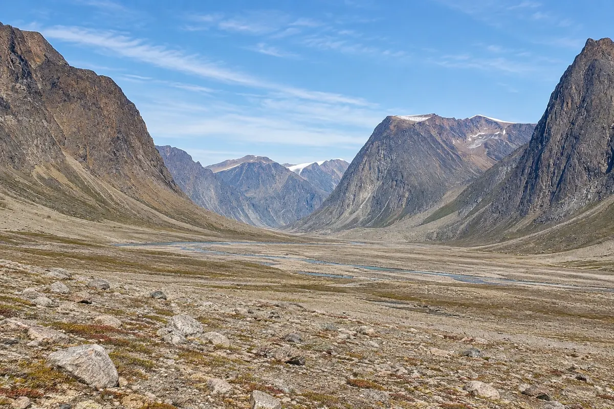
A park of granite mountains, glaciers and glacial valleys on Baffin Island, cut by the Akshayuk Pass, with Mount Thor’s cliff and the Arctic Circle.

 Išči
 Brazilija
 Antarktika
 Argentina
 Bolivija
 Čile
 Kolumbija
 Ekvator
 Gvajana
 Francoska Gvajana
 Falklandski otoki (Malvini)
 Paragvaj
 Peru
 Surinam
 Urugvaj
 Venezuela
 Nemčija
 Avstrija
 Belgija
 Hrvaška
 Danska
 Slovaška
 Slovenija
 Španija
 Finska
 Francija
 Grčija
 Nizozemska
 Madžarska
 Irska
 Islandija
 Italija
 Luksemburg
 Norveška
 Poljska
 Portugalska
 Združeno kraljestvo
 Češka
 Švedska
 Švica
 Turčija
 BermudiKanada
 Združene države Amerike
 Grenlandija
 Mehika
 Sveta Peter in Mihael
 Dominikanska republika
 JaponskaTurčija
 Južnoafriška republika
 Egipt
 Avstralija
 Fidži
 Nova Zelandija
 Papua Nova Gvineja
Nunavut · Kanada
Destinacija: Baffin Island (Canada): Pangnirtung; Pond Inlet.
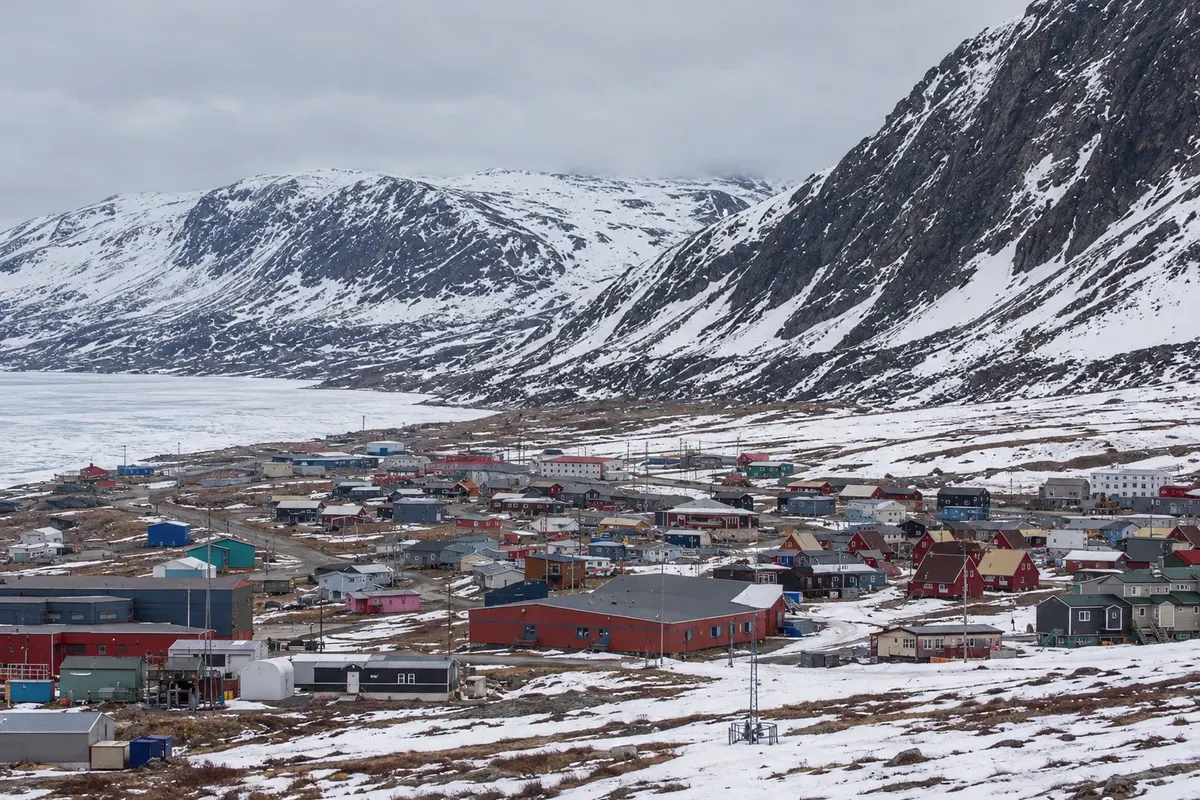
Na fotografiji: Houses of Pangnirtung in winter.
Illustrative images. The pictures in this guide are illustrations based on the real place, not photographs, and may differ from it.
Mesto
An Inuit community in a fjord on Baffin Island, near the Arctic Circle, surrounded by mountains. It is the gateway to Auyuittuq National Park and known for the tapestries and carvings by its artists. By boat you can reach an old whaling station in the Cumberland Strait.
V vodniku še ni nastanitev – Pangnirtung.
kako do tja · koliko dni · načrt poti · vprašanja
Doživite kraj
A park of granite mountains, glaciers and glacial valleys on Baffin Island, cut by the Akshayuk Pass, with Mount Thor’s cliff and the Arctic Circle.
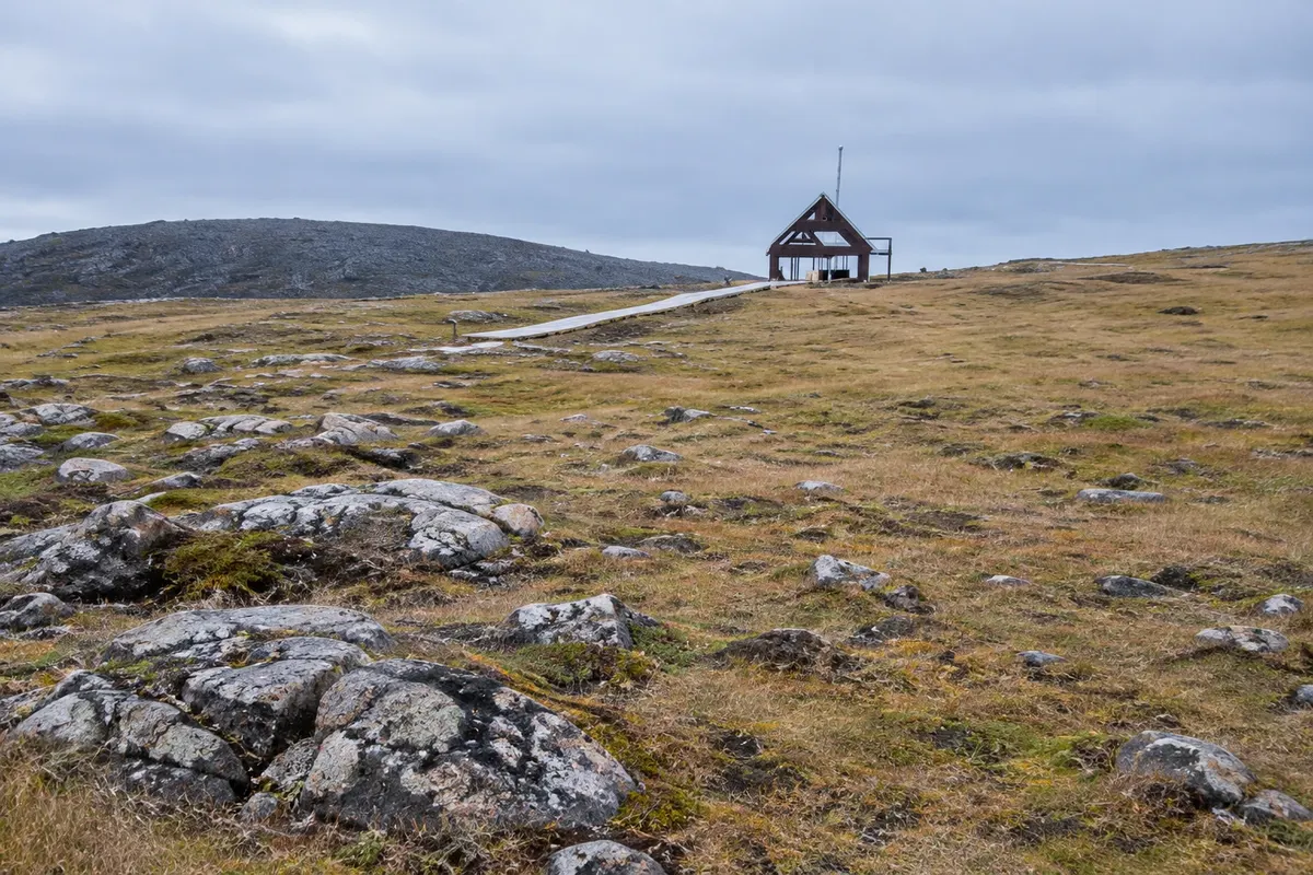
An island in the Cumberland Strait with remains of a 19th-century whaling station, such as blubber boilers and storehouse foundations, reached by boat from Pangnirtung.
Pred odhodom
Pangnirtung – Nunavut Destinacija Baffin Island (Canada): Pangnirtung; Pond Inlet približno 300 km stran (izhodišče: Iqaluit)
Razdalje so približne. Pred potovanjem preverite lete in vozne rede avtobusov, vlakov ali ladij.
The airport is next to the village, with flights from Iqaluit. There is no road to Iqaluit; the distance given is as the crow flies.
Three days or more, allowing time for weather.
From July to August.
The seasons shown are the most usual ones; nature doesn't always follow the calendar.
No. The village is explored on foot, and the park is reached by boat or on foot.
Predlog poti
Pot povezuje znamenitosti na tej strani. Za oglede boste imeli dovolj časa.
Walk through the village, visit the Auyuittuq park centre and the arts centre.
Climb the Ukama Trail behind the village for a view of the fjord.
Dan 1
Do the village, the park centre and the Ukama Trail.
Dan 2
Go by boat to the entrance at Overlord and hike the valley to the first views of the Akshayuk Pass.
Check before you go. Opening hours and days change, and places may close for renovations, holidays or events. This itinerary is a suggestion from Cidade Turismo, not a commitment: plan yours by checking directly with each place you intend to visit.
Pred odhodom
Enter Auyuittuq National Park, visit the arts centre, hike above the fjord and take a boat to the Kekerten whaling station.
It lies a little to the south; the Arctic Circle crosses Auyuittuq National Park, north of the village.
Yes, for tapestries and carvings made by Inuit artists of the community.
Cool in summer and very cold in winter; wind and fog can delay flights and boats.
Več kot vodnik


