

National park
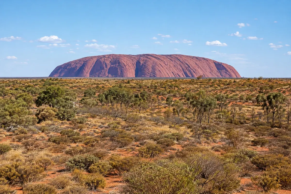
Uluru
A sandstone monolith rising 348 meters above the plain with a 9.4 km perimeter, a sacred place for the Anangu and a symbol of central Australia, seen from the base trails and at sunrise and sunset.

 Išči
 Brazilija
 Antarktika
 Argentina
 Bolivija
 Čile
 Kolumbija
 Ekvator
 Gvajana
 Francoska Gvajana
 Falklandski otoki (Malvini)
 Paragvaj
 Peru
 Surinam
 Urugvaj
 Venezuela
 Nemčija
 Avstrija
 Belgija
 Hrvaška
 Danska
 Slovaška
 Slovenija
 Španija
 Finska
 Francija
 Grčija
 Nizozemska
 Madžarska
 Irska
 Islandija
 Italija
 Luksemburg
 Norveška
 Poljska
 Portugalska
 Združeno kraljestvo
 Češka
 Švedska
 Švica
 Turčija
 Bermudi
 Kanada
 Združene države Amerike
 Grenlandija
 Mehika
 Sveta Peter in Mihael
 Dominikanska republika
 JaponskaTurčija
 Južnoafriška republika
 EgiptAvstralija
 Fidži
 Nova Zelandija
 Papua Nova Gvineja
Território do Norte · Avstralija
Destinacija: Uluru and the Red Centre.
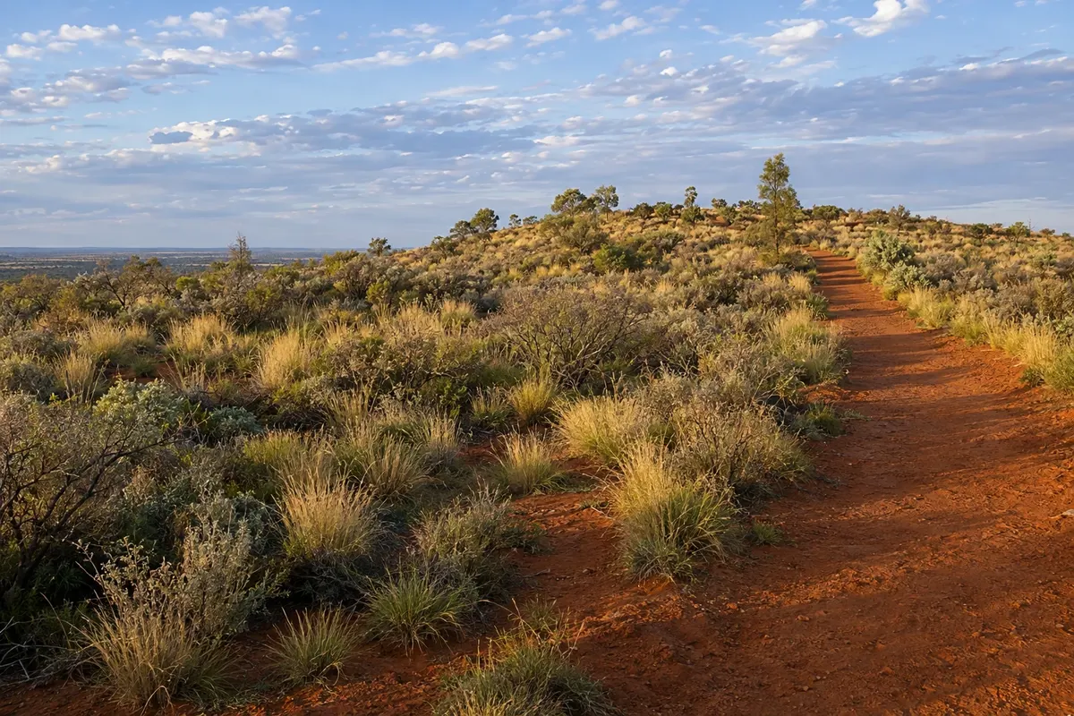
Na fotografiji: Imalung Lookout track, Yulara
Illustrative images. The pictures in this guide are illustrations based on the real place, not photographs, and may differ from it.
Mesto
Village established in the 1970s and 1980s to host visitors to Uluru-Kata Tjuta National Park, about 18 km from Uluru by road. It houses the accommodations, restaurants, supermarket, service station and visitor center for the region, and is 6 km from the airport. Tours to Uluru, Kata Tjuta and the cultural center depart from here, as do buses for sunrise and sunset.
V vodniku še ni nastanitev – Yulara.
kako do tja · koliko dni · načrt poti · vprašanja
Doživite kraj
A sandstone monolith rising 348 meters above the plain with a 9.4 km perimeter, a sacred place for the Anangu and a symbol of central Australia, seen from the base trails and at sunrise and sunset.
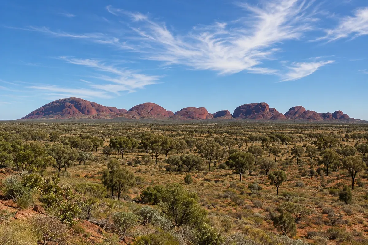
A group of 36 rock domes about 25 km from Uluru, with Mount Olga rising 546 meters above the plain; a sacred place for the Anangu, featuring the Valley of the Winds and Walpa Gorge trails.
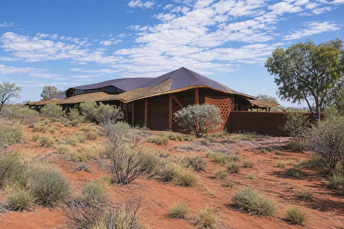
Center inside the park, near Uluru, presenting the culture, language and Tjukurpa of the Anangu, with exhibitions, Aboriginal art galleries and information about the trails.
Pred odhodom
Yulara – Northern Territory Destinacija Uluru and the Red Centre približno 1950 km stran (izhodišče: Darwin)
Razdalje so približne. Pred potovanjem preverite lete in vozne rede avtobusov, vlakov ali ladij.
Ayers Rock (Connellan) Airport is about 6 km away, with shuttle buses for guests timed to flights. From Alice Springs it’s roughly 430 km on sealed road, about a 5-hour drive; there are also coaches and multi-day tours.
Three days: one for the Uluru base walk and the sunset, one for Kata Tjuta and the sunrise, and half a day for the cultural center and a guided walk.
From April to September days are usually more pleasant for walking; in winter, June to August, nights are cold. From November to March it is very hot, and some trails close late morning on the hottest days.
The seasons shown are the most usual ones; nature doesn't always follow the calendar.
Not essential: there are regular buses and organized tours between Yulara, Uluru and Kata Tjuta. A rented car gives flexibility for sunrise and sunset times. In Australia you drive on the left.
Predlog poti
Pot povezuje znamenitosti na tej strani. Za oglede boste imeli dovolj časa.
Start at the cultural center to learn about Anangu culture and then head to the Uluru base trail, or a section of it, while temperatures are cooler.
Go to the sunset viewing area on the west side of the rock to watch the changing light on Uluru.
Dan 2
Leave before dawn to see the sunrise and then walk the Valley of the Winds or the Walpa Gorge at Kata Tjuta.
Return to Yulara during the hottest hours and, at night, look for one of the stargazing tours, taking advantage of the desert’s dark skies.
Check before you go. Opening hours and days change, and places may close for renovations, holidays or events. This itinerary is a suggestion from Cidade Turismo, not a commitment: plan yours by checking directly with each place you intend to visit.
Pred odhodom
About 18 km by road, around a 20-minute drive or bus ride.
In Yulara, which gathers all the region’s accommodations, from campgrounds to hotels. There is no lodging inside the national park.
Yes, you must purchase the national park pass, valid for several days; check the current rates.
The airport is about 6 km away. There are shuttle buses timed to flights and car rentals at the airport.
Več kot vodnik


