

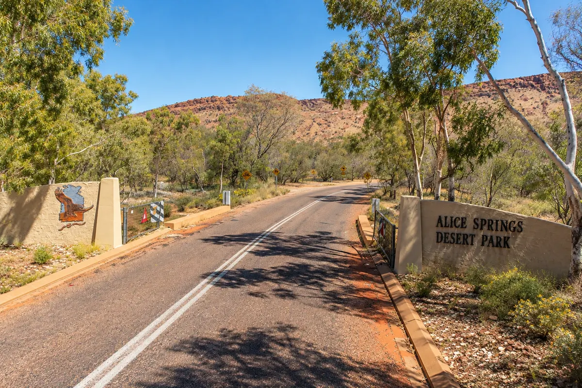
Park
Alice Springs Desert Park
Park opened in 1997 at the foot of the MacDonnell Range, with a trail through desert habitats, a nocturnal house, and free-flying birds of prey displays.

 Išči
 Brazilija
 Antarktika
 Argentina
 Bolivija
 Čile
 Kolumbija
 Ekvator
 Gvajana
 Francoska Gvajana
 Falklandski otoki (Malvini)
 Paragvaj
 Peru
 Surinam
 Urugvaj
 Venezuela
 Nemčija
 Avstrija
 Belgija
 Hrvaška
 Danska
 Slovaška
 Slovenija
 Španija
 Finska
 Francija
 Grčija
 Nizozemska
 Madžarska
 Irska
 Islandija
 Italija
 Luksemburg
 Norveška
 Poljska
 Portugalska
 Združeno kraljestvo
 Češka
 Švedska
 Švica
 Turčija
 Bermudi
 Kanada
 Združene države Amerike
 Grenlandija
 Mehika
 Sveta Peter in Mihael
 Dominikanska republika
 JaponskaTurčija
 Južnoafriška republika
 EgiptAvstralija
 Fidži
 Nova Zelandija
 Papua Nova Gvineja
Território do Norte · Avstralija
Destinacija: Uluru and the Red Centre.
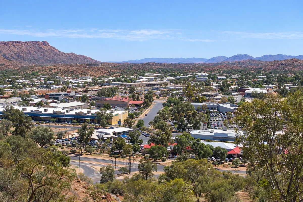
Na fotografiji: Alice Springs seen from Anzac Hill
Illustrative images. The pictures in this guide are illustrations based on the real place, not photographs, and may differ from it.
Mesto
The largest town in central Australia, Alice Springs sits amid the MacDonnell Ranges on the banks of the nearly always dry Todd River. It began as the 1872 telegraph station and is Arrernte country. It has the Alice Springs Desert Park, with desert plants and animals, the Anzac Hill lookout and Aboriginal art galleries. To the west the range holds gorges and waterholes such as Simpsons Gap.
V vodniku še ni nastanitev – Alice Springs.
kako do tja · koliko dni · načrt poti · vprašanja
Doživite kraj
Park opened in 1997 at the foot of the MacDonnell Range, with a trail through desert habitats, a nocturnal house, and free-flying birds of prey displays.
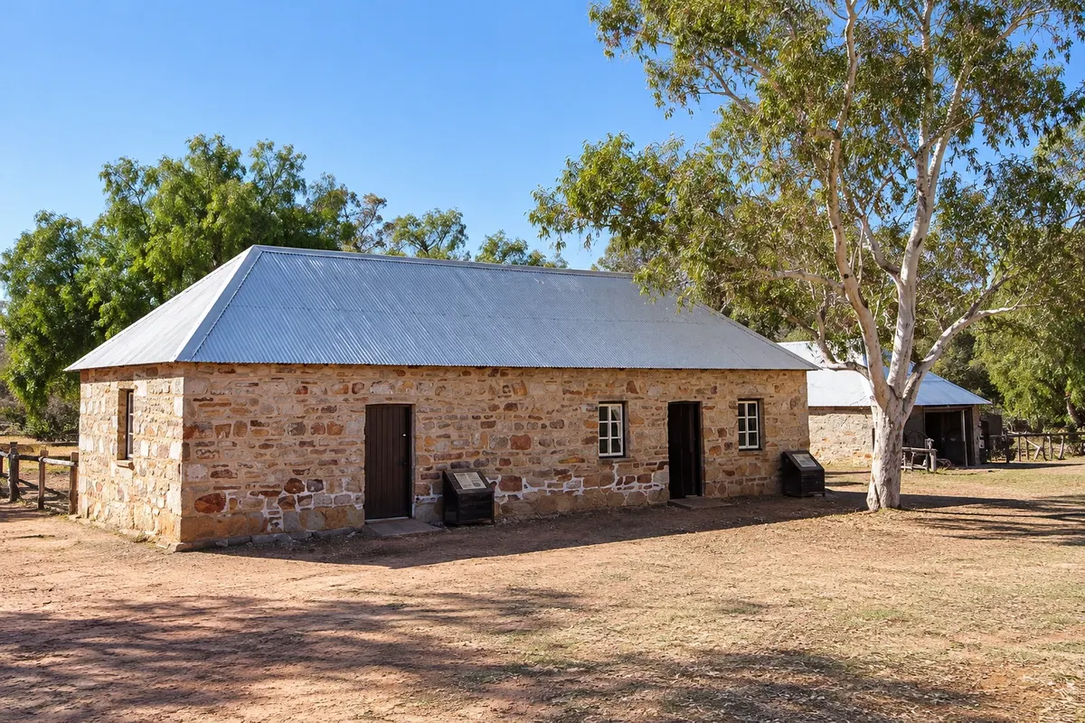
1872 telegraph station that linked Darwin to Adelaide, built next to the waterhole that gave the town its name, in a historic reserve about 4 km from the centre.
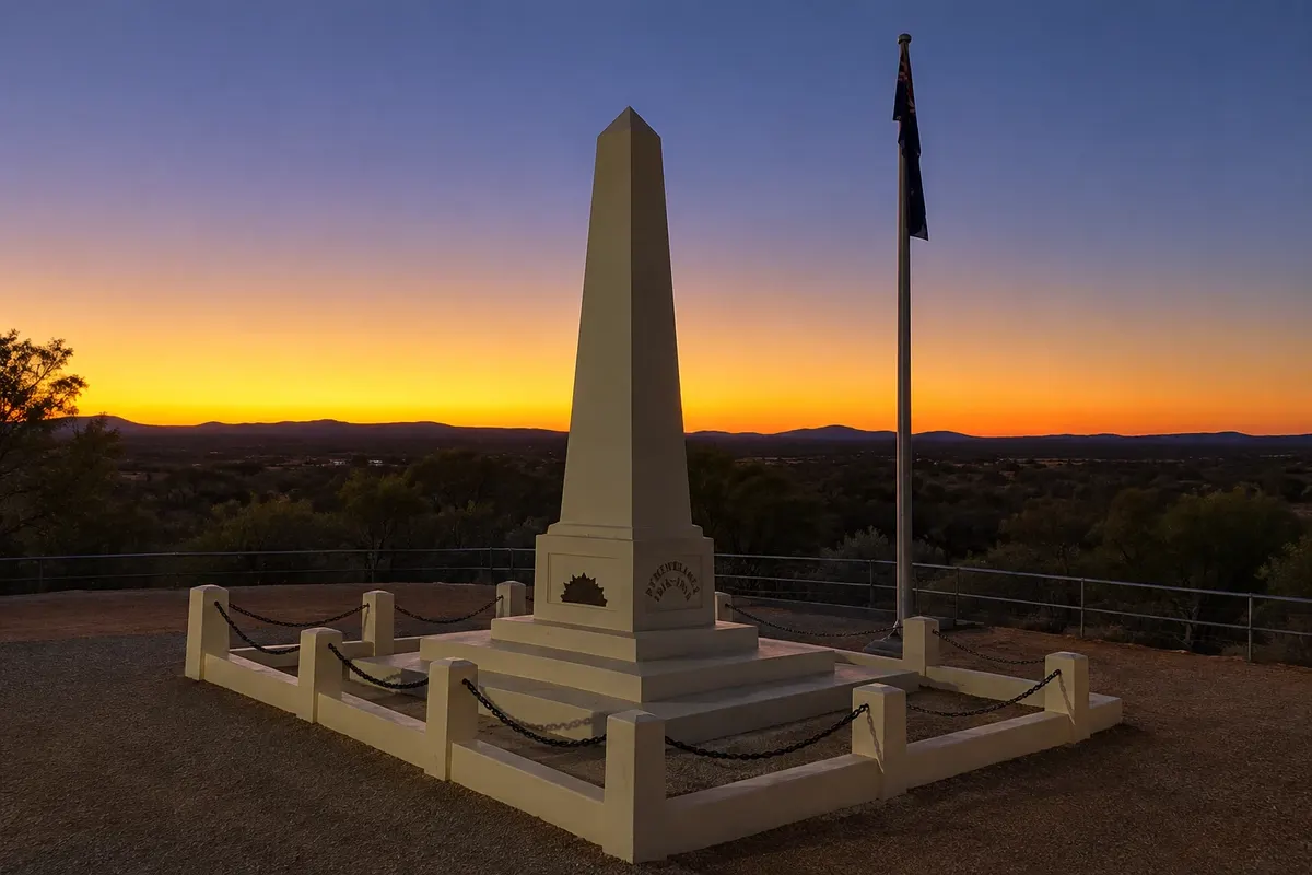
Hill in central Alice Springs with a war memorial and 360-degree views over the town, the Todd River and the MacDonnell Range.
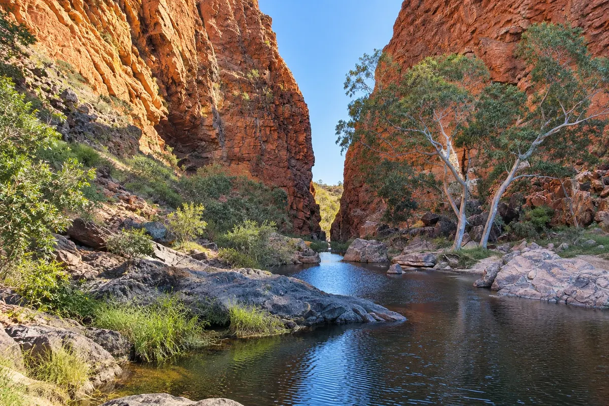
Gorge with a permanent waterhole in the West MacDonnell Range, about 18 km from Alice Springs, home to black-footed rock-wallabies.
Pred odhodom
Alice Springs – Northern Territory Destinacija Uluru and the Red Centre približno 1500 km stran (izhodišče: Darwin)
Razdalje so približne. Pred potovanjem preverite lete in vozne rede avtobusov, vlakov ali ladij.
Alice Springs Airport (ASP), about 15 km from the town centre, has flights from Sydney, Melbourne, Adelaide, Brisbane and Darwin. The Ghan train, between Adelaide and Darwin, stops in the town. From Yulara it is about 430 km by road, roughly a 5-hour drive.
Two days: one for the town, including the Desert Park, the telegraph station and Anzac Hill, and one for the gorges of the West MacDonnell Ranges, such as Simpsons Gap and Standley Chasm.
From April to September, with mild days and cold winter nights. From November to March it is very hot; prefer mornings for walking.
The seasons shown are the most usual ones; nature doesn't always follow the calendar.
For the town and the Desert Park, no: there are taxis and tours. For the gorges of the MacDonnell Ranges, a car or an organized tour is necessary. In Australia you drive on the left.
Predlog poti
Pot povezuje znamenitosti na tej strani. Za oglede boste imeli dovolj časa.
Arrive early at the Desert Park to walk through the desert habitats, see the nocturnal animal house and watch the birds of prey presentation.
Visit the telegraph station north of town, with its stone buildings from 1872 and the waterhole that gave the town its name.
Climb Anzac Hill to see the town and the MacDonnell Ranges in the late-day light.
Dan 2
Head west to Simpsons Gap and Standley Chasm, with short walks between rock walls and waterholes.
Check before you go. Opening hours and days change, and places may close for renovations, holidays or events. This itinerary is a suggestion from Cidade Turismo, not a commitment: plan yours by checking directly with each place you intend to visit.
Pred odhodom
Yes, for those who want to see the MacDonnell Ranges, Arrernte culture and the history of the central region. The town is also a stop for the Ghan train.
About 430 km by road to Yulara, the village next to the park, roughly a 5-hour drive.
The gorges of the West MacDonnell Ranges, like Simpsons Gap and Standley Chasm, less than an hour from town, as well as the Desert Park and the telegraph station.
On winter nights, from June to August, yes: lows can approach 0 °C, even with sunny and mild days.
Več kot vodnik


