Train to the Clouds: San Antonio de los Cobres and La Polvorilla Viaduct
Odhod: City of Salta Bus to San Antonio de los Cobres and train to the viaduct about 14 hours Ves dan easy (altitude 4,220 m)
The excursion combines bus and train. The bus leaves Salta via the Quebrada del Toro, with stops at Campo Quijano, the El Toro Viaduct and El Alfarcito, where breakfast is usually served. The landscape changes from the green valley to the dry Puna. In San Antonio de los Cobres, at 3,775 m, passengers board the train, which climbs to the La Polvorilla Viaduct. The iron bridge is 224 meters long and 63 meters high and sits at 4,220 m. At the viaduct there is a stop to disembark and take photos; afterwards the train returns to San Antonio de los Cobres, where there is time for lunch and to walk through the village. On the return to Salta, the bus usually stops at Santa Rosa de Tastil, a village next to an archaeological site of the Qhapaq Ñan, the Inca road recognized as a World Heritage site.
Kraji na poti: Campo Quijano, Quebrada del Toro, El Toro Viaduct, El Alfarcito, San Antonio de los Cobres, La Polvorilla Viaduct, Santa Rosa de Tastil.
Vključuje: Generally: bus from Salta, train, guide and breakfast. Lunch is usually paid separately. Those traveling by car can buy only the train segment in San Antonio de los Cobres. Check the current schedule/prices.
Nasvet: The train does not run every day and seats sell out during holidays: book in advance. Bring warm clothing, a hat, sunscreen and water. The altitude can cause headache and shortness of breath; eat lightly, avoid alcohol the night before and ascend without hurry.
Najboljši čas za obisk: All year round, according to the departure schedule. From April to November the weather is usually dry; from June to August mornings on the Puna are very cold.
Route 40 from Cafayate to Cachi: Quebrada de las Flechas, Angastaco, Molinos and Seclantás
Odhod: Cafayate or Cachi Private car or tour via National Route 40 about 8 hours Ves dan easy (road with gravel sections)
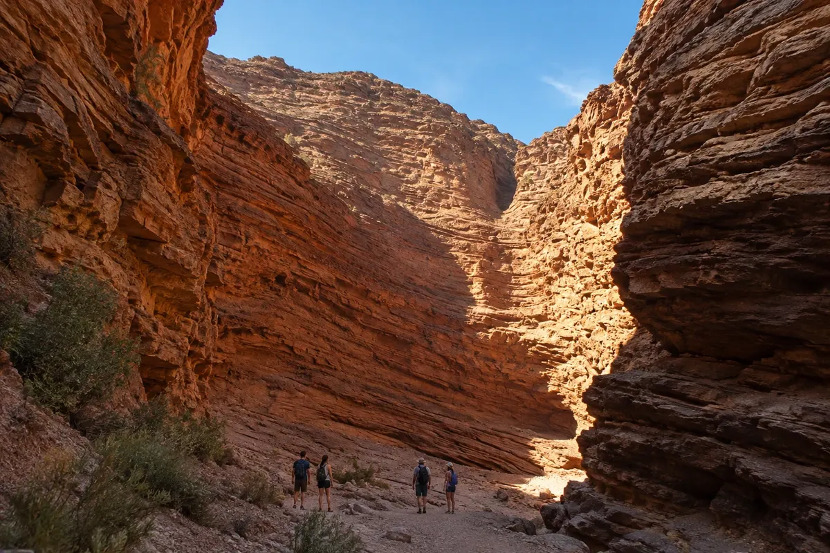
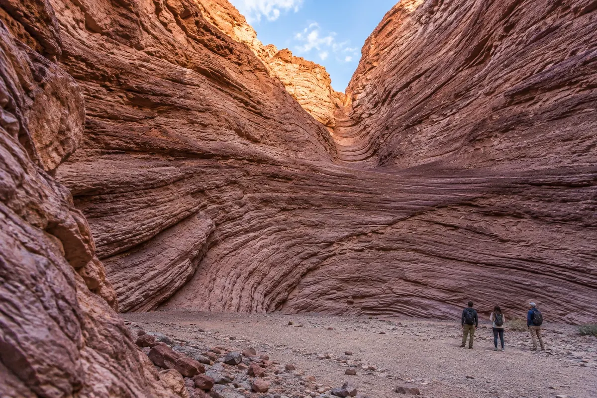
The 157 km of National Route 40 between Cafayate and Cachi cross the heart of the Valles Calchaquíes. The route has paved sections and others of ripio (gravel), sand and dirt. Leaving Cafayate, the road passes through Animaná and San Carlos, villages of vineyards. Between San Carlos and Angastaco lies the Quebrada de las Flechas: for about 20 km, tilted slabs of sandstone point to the sky like arrows, in shades from gray to ochre. Further north, Molinos has the Iglesia de San Pedro Nolasco, in the Cusco style and declared a National Historic Monument, where Nicolás Severo de Isasmendi, the last Spanish governor of Salta del Tucumán, is buried. Seclantás is the land of the teleros, weavers of the salteño poncho; on the Camino de los Artesanos, along Provincial Route 55, there are workshops open to visitors.
Kraji na poti: Animaná, San Carlos, Quebrada de las Flechas, Angastaco, Molinos, Seclantás, Valles Calchaquíes, Cachi.
Vključuje: On your own, there is no ticket for the road viewpoints. Tours that cover the route generally include transportation and a guide; meals are paid separately. Check the current table.
Nasvet: Refuel in Cafayate or Cachi: there are few gas stations along the way. A standard car can make it, but drive slowly on the ripio and avoid traveling at night. You can do the stretch as a transfer between Cafayate and Cachi without returning to Salta.
Najboljši čas za obisk: From April to November, with the road dry. From December to March, rains can wash out portions of Route 40 at river fords.
Folkloric peñas on Calle Balcarce
Odhod: Salta city centre On foot or by taxi Približno 3 ure night Lahko
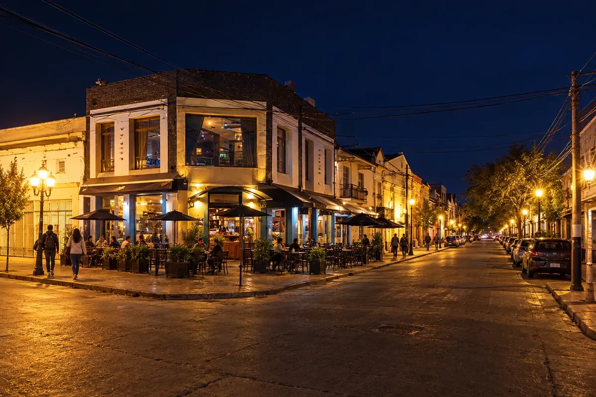
The peña is the folk music venue of northern Argentina: long tables, regional food and musicians on stage playing zamba, chacarera, baguala and carnavalito, often with the audience singing and dancing along. Salta is the birthplace of folk acts such as Los Chalchaleros, Los Fronterizos and Eduardo Falú. The best-known address is Calle Balcarce, opposite the train station: within about three blocks peñas like La Vieja Estación, bars and restaurants gather. Elsewhere, Boliche Balderrama is a traditional peña in the city. The menu includes empanadas salteñas, humitas, tamales and locro. On Sundays the same street hosts a daytime craft fair.
Kraji na poti: Calle Balcarce, La Vieja Estación, Boliche Balderrama.
Vključuje: In general, food and drink consumption applies, and some venues also charge for the show (cover or ticket). Check with the venue.
Nasvet: Peñas start late and fill up on Fridays and Saturdays: arrive early or reserve a table. If the night includes wine, take a taxi back.
Najboljši čas za obisk: All year; busier in January, July and on weekends.
Quebrada de Humahuaca and Purmamarca from Salta
Odhod: City of Salta Van excursion along National Route 9 about 12 hours Ves dan easy (altitude above 2,300 m)
If you have only a few days in the north you can visit the Quebrada de Humahuaca, in the neighbouring province of Jujuy, on a full-day excursion from Salta. The van follows National Route 9 to San Salvador de Jujuy, 115 km away, then enters the gorge. The first stop is usually Purmamarca, at 2,324 m, at the foot of the Cerro de los Siete Colores, with a craft fair in the plaza. Next are Tilcara, with the Pucará, a reconstructed pre-Inca fortress on top of a hill, and Humahuaca, with cobbled streets and the Monument to the Heroes of Independence atop a staircase. Along the way the road crosses the Tropic of Capricorn. Return to Salta is at the end of the day.
Kraji na poti: Purmamarca, Cerro de los Siete Colores, Tilcara, Pucará de Tilcara, Humahuaca, Quebrada de Humahuaca.
Vključuje: On excursions, typically: round-trip transport from Salta, guide and insurance. Meals and entrance fees, such as for the Pucará de Tilcara, are paid separately. Check the current schedule/price list.
Nasvet: The day is long, with many hours on the road. If you have time it’s better to stay overnight in the gorge itself. Bring a jacket and sunscreen.
Najboljši čas za obisk: All year. From April to November the weather is usually dry; from December to March rains can cause road closures.
Cachi on foot: the square, Iglesia San José, Museo Pío Pablo Díaz and Cachi Adentro
Odhod: Cachi On foot, by bicycle or car Približno 4 ure Dopoldne easy (altitude around 2,300 m)
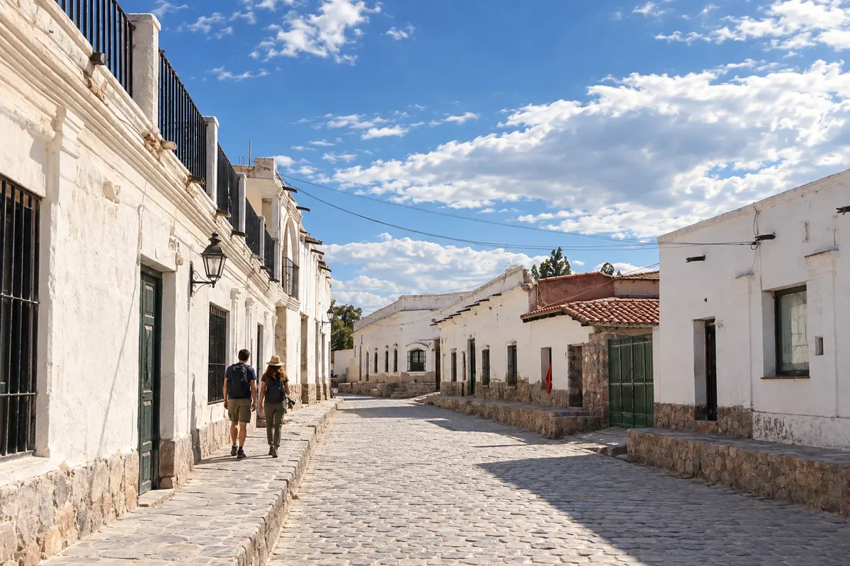
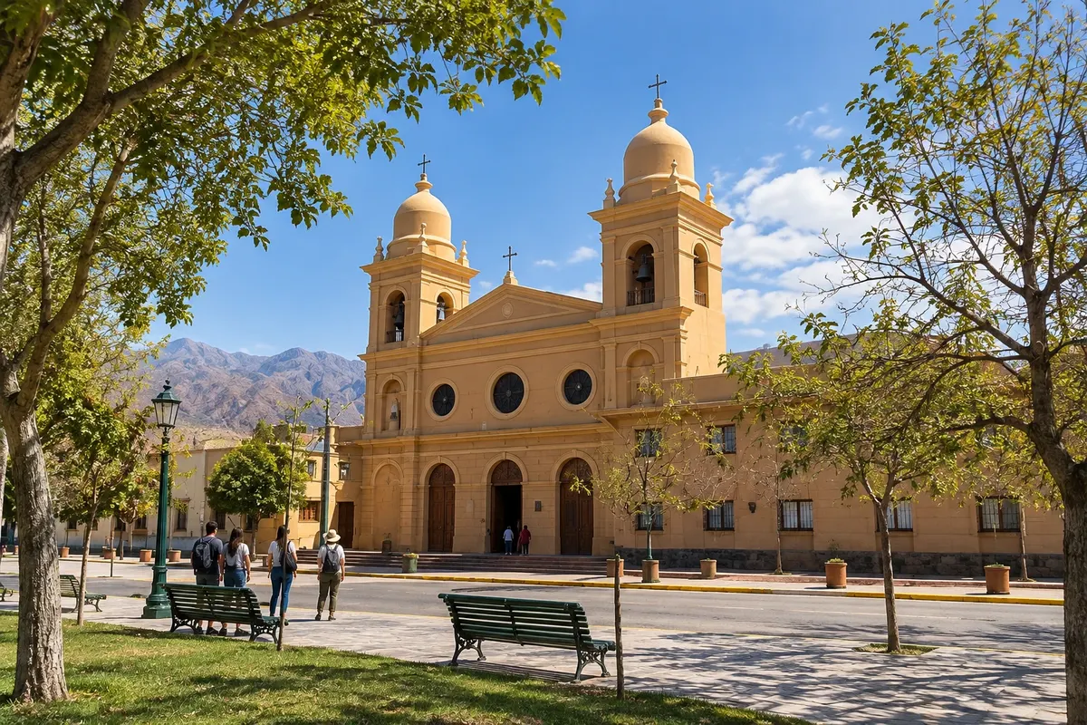
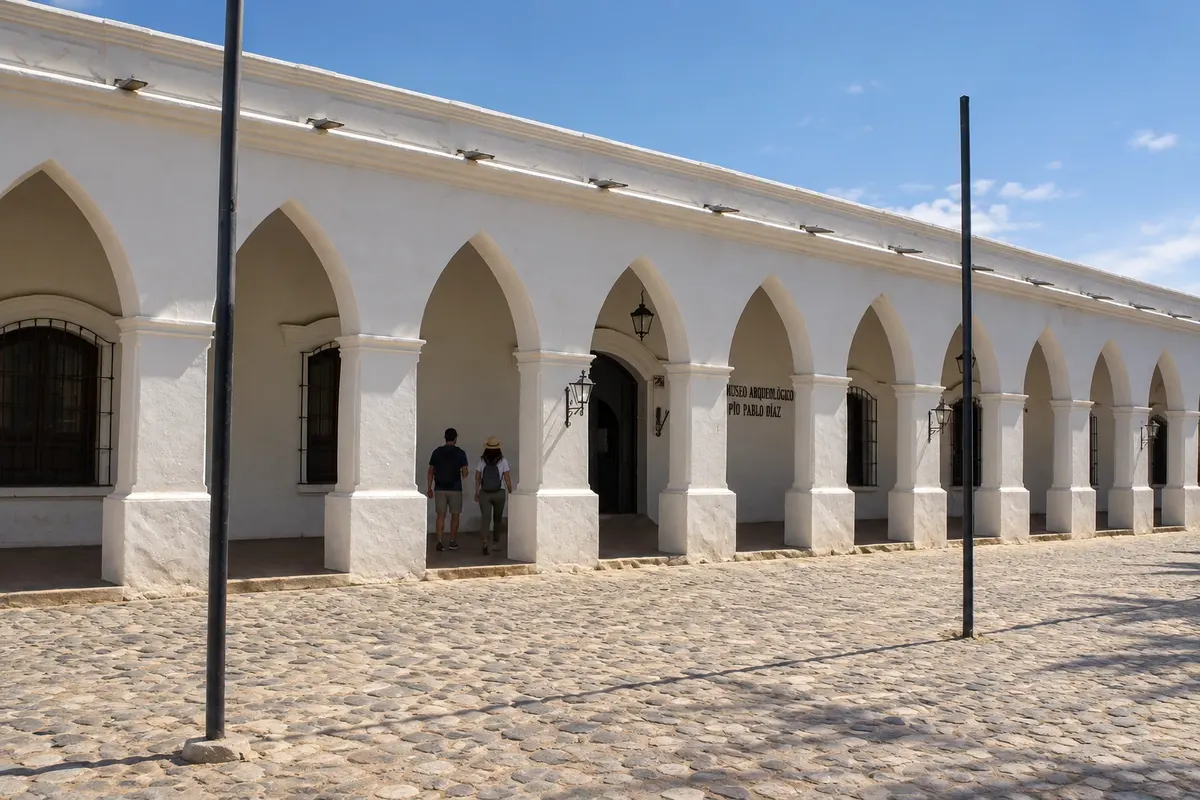
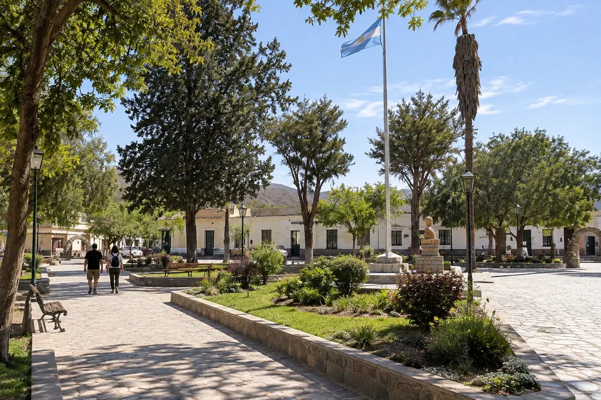
Cachi deserves more than the quick stop of the typical tours. The village has cobblestone streets, white adobe houses and a view of Nevado de Cachi, at 6,720 m, the highest mountain of the Valles Calchaquíes. In the main square is the Iglesia San José, a National Historic Monument, with adobe walls and a cardón wood roof. Across from it, the Museo Arqueológico Pío Pablo Díaz displays ceramics and items from about ten thousand years of occupation of the region. The cemetery, atop a hill, gives the widest view of the valley. A few kilometers away is Cachi Adentro, an agricultural valley of small farms and streams that descend from the snowcapped peaks, good for walking or cycling. In autumn, the surrounding fields turn red as peppers dry in the sun for the region’s pimentón (paprika).
Kraji na poti: Cachi, Iglesia San José, Museo Arqueológico Pío Pablo Díaz, Cementerio de Cachi, Cachi Adentro, Nevado de Cachi.
Vključuje: The museum charges an admission fee. Check the current price list. The walk through Cachi Adentro can be done independently.
Nasvet: Buy ground red pepper and textiles at the Plaza de Artesanos, near the main square. The sun is strong at altitude: use sunscreen and wear a hat.
Najboljši čas za obisk: All year. The red pepper is usually dried in the fields in autumn, from March to May.
Cascadas del Río Colorado
Odhod: Cafayate Taxi or car to the trailhead and hike with a guide Približno 4 ure Dopoldne Zmerno zahtevno
About a ten‑minute drive southwest of Cafayate, the Río Colorado trail climbs the river gorge and passes a sequence of waterfalls and pools, plus a small cave. The path is rocky and runs along the riverbed. Local guides accompany visitors from the start of the trail, and the route can stop at the lower falls or continue to the higher ones. It’s an active break between visits to the wineries.
Kraji na poti: Cascadas del Río Colorado, Río Colorado, Cafayate.
Vključuje: Local guides charge separately at the trailhead. Check the rate on site.
Nasvet: Wear shoes with good grip and bring water and swimwear in summer. Go in the morning, before the strongest heat.
Najboljši čas za obisk: From September to April, with more water in the waterfalls from December to March; after heavy rain the river can rise.
Ciudad Sagrada de Quilmes
Odhod: Cafayate Private car or tour via National Route 40 Približno 5 ur Dopoldne ali popoldne easy (optional climb to the viewpoints)
South of Cafayate, already in Tucumán province, the Ciudad Sagrada de Quilmes is one of the main pre-Hispanic sites in the Valles Calchaquíes. The Quilmes people, of the Diaguita group, occupied the slope of Cerro Alto del Rey, at about 1,700 m, in a city of about 30 hectares. They resisted the Incas and, for about 130 years, the Spaniards, until being defeated in 1667; afterward, about 2,000 people were forced to march to near Buenos Aires, where the city of Quilmes stands today. Reconstructed stone walls climb the slope in terraces. Access leaves Ruta Nacional 40 along about 5 km of gravel road. The site is managed together with the Amaicha indigenous community, and some visits are guided by local residents.
Kraji na poti: Ciudad Sagrada de Quilmes, Cerro Alto del Rey, Amaicha del Valle.
Vključuje: There is an entrance fee, payable at the gate; the guided tour is optional. Check the current fee schedule.
Nasvet: Climb the side trails up to the viewpoints to get a sense of the city’s scale. There is no shade: bring a hat, sunscreen and water.
Najboljši čas za obisk: Year-round. From December to February the midday heat is strong; prefer the morning.
San Lorenzo and the Yungas quebrada
Odhod: City of Salta City bus, taxi or car via Provincial Route 28 Približno 4 ure Popoldne Lahko
About 10 km from the center, along Ruta Provincial 28, San Lorenzo is a village of summer houses and tree-lined streets at about 1,450 m, where people from Salta escape the heat. There the landscape changes: the mountain jungle of the Yungas begins, humid and green, with more than 200 bird species. The Quebrada de San Lorenzo follows the river through the vegetation and has trails for walking. There are also horseback rides, mountain biking and paragliding flights with local operators. It contrasts with the dry landscape of the Valles Calchaquíes and fits into a free afternoon.
Kraji na poti: San Lorenzo, Quebrada de San Lorenzo, Yungas.
Vključuje: On your own, visiting the village and the quebrada has no entrance fee. Horse rides and other activities are paid separately. Check the current table.
Nasvet: Take a jacket: temperature drops quickly late in the afternoon. Pair the visit with dinner in the village before returning to Salta.
Najboljši čas za obisk: All year. From December to March the Yungas are greener, with more rain.
Rafting on the Río Juramento and Cabra Corral Dam
Odhod: City of Salta Tour with an operator or own vehicle via Coronel Moldes Približno 6 ur Ves dan Zmerno zahtevno
South of Salta, past Coronel Moldes, the Cabra Corral dam creates a large lake between the hills, used for water sports. Just below the dam, the Río Juramento is the rafting spot: the descent has ten rapids and a calm section where the group can swim, with safety kayaks accompanying the rafts. Time on the water is usually about two hours. When the dam opens its gates, the river volume increases and the rapids grow stronger. There is also bungee jumping from the bridge over the river.
Kraji na poti: Cabra Corral Dam, Río Juramento, Coronel Moldes.
Vključuje: Generally: equipment, instructors and insurance are included. Transport from Salta and meals depend on the operator. Check the current rates.
Nasvet: Bring a change of clothes, sunscreen and footwear that can get wet. Confirm with the operator the minimum age and the river level on the day.
Najboljši čas za obisk: All year; from October to March the water and weather are usually warmer.


 Brazilija
 Antarktika
 Bolivija
 Čile
 Kolumbija
 Ekvator
 Gvajana
 Francoska Gvajana
 Falklandski otoki (Malvini)
 Paragvaj
 Peru
 Surinam
 Urugvaj
 Venezuela
 Nemčija
 Avstrija
 Belgija
 Hrvaška
 Danska
 Slovaška
 Slovenija
 Španija
 Finska
 Francija
 Grčija
 Nizozemska
 Madžarska
 Irska
 Islandija
 Italija
 Luksemburg
 Norveška
 Poljska
 Portugalska
 Združeno kraljestvo
 Češka
 Švedska
 Švica
 Turčija
 Bermudi
 Kanada
 Združene države Amerike
 Grenlandija
 Mehika
 Sveta Peter in Mihael
 Dominikanska republika
 Japonska
 Južnoafriška republika
 Egipt
 Avstralija
 Fidži
 Nova Zelandija
 Papua Nova Gvineja