

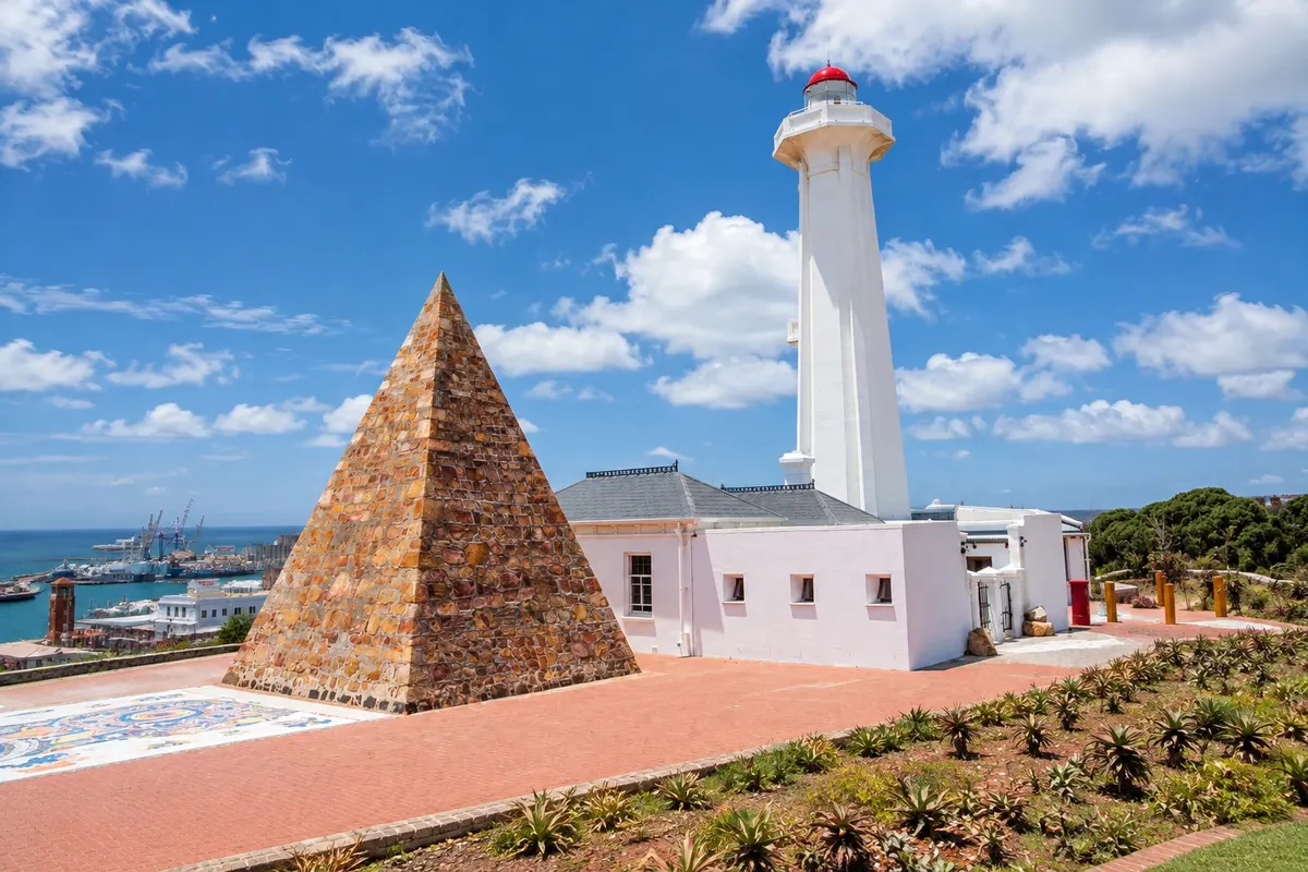
Historic park
Donkin Reserve
Park atop the central hill of Gqeberha, with the 1861 lighthouse, the pyramid in memory of Elizabeth Donkin and the start of the Route 67 art trail.

 Išči
 Brazilija
 Antarktika
 Argentina
 Bolivija
 Čile
 Kolumbija
 Ekvator
 Gvajana
 Francoska Gvajana
 Falklandski otoki (Malvini)
 Paragvaj
 Peru
 Surinam
 Urugvaj
 Venezuela
 Nemčija
 Avstrija
 Belgija
 Hrvaška
 Danska
 Slovaška
 Slovenija
 Španija
 Finska
 Francija
 Grčija
 Nizozemska
 Madžarska
 Irska
 Islandija
 Italija
 Luksemburg
 Norveška
 Poljska
 Portugalska
 Združeno kraljestvo
 Češka
 Švedska
 Švica
 Turčija
 Bermudi
 Kanada
 Združene države Amerike
 Grenlandija
 Mehika
 Sveta Peter in Mihael
 Dominikanska republika
 JaponskaTurčijaJužnoafriška republika
 Egipt
 Avstralija
 Fidži
 Nova Zelandija
 Papua Nova Gvineja
Cabo Oriental · Južnoafriška republika
Destinacija: Gqeberha and Addo.
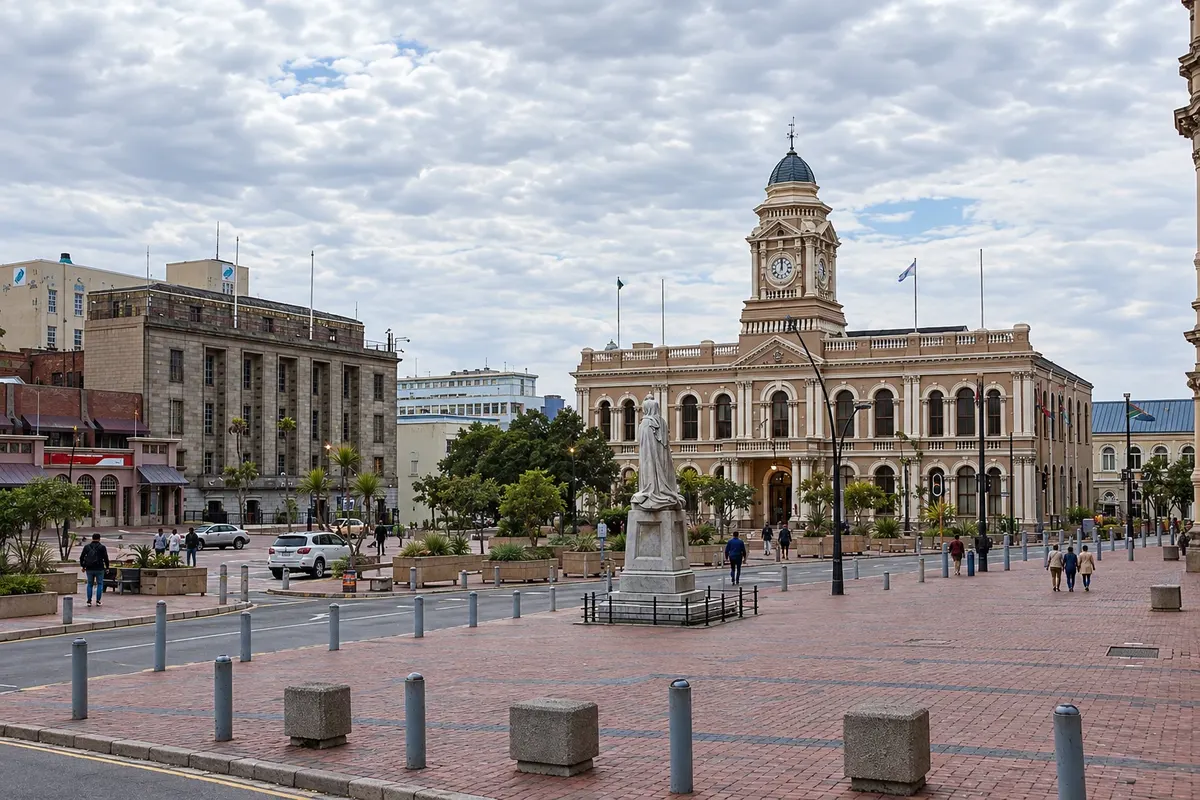
Na fotografiji: Gqeberha City Hall, Market Square
Illustrative images. The pictures in this guide are illustrations based on the real place, not photographs, and may differ from it.
Mesto
Gqeberha, formerly Port Elizabeth, is the largest city in the Eastern Cape, on Algoa Bay, founded in 1820 with the arrival of British settlers. In the city centre, atop the hill, are the Donkin reserve, with the 1861 lighthouse and the pyramid in memory of Elizabeth Donkin, and Route 67, a public art trail. The Summerstrand waterfront has calm-water beaches, and the Cape Recife reserve at the southern tip has a lighthouse and a penguin rehabilitation centre. Addo National Park is about an hour away.
V vodniku še ni nastanitev – Gqeberha.
kako do tja · koliko dni · načrt poti · vprašanja
Doživite kraj
Park atop the central hill of Gqeberha, with the 1861 lighthouse, the pyramid in memory of Elizabeth Donkin and the start of the Route 67 art trail.
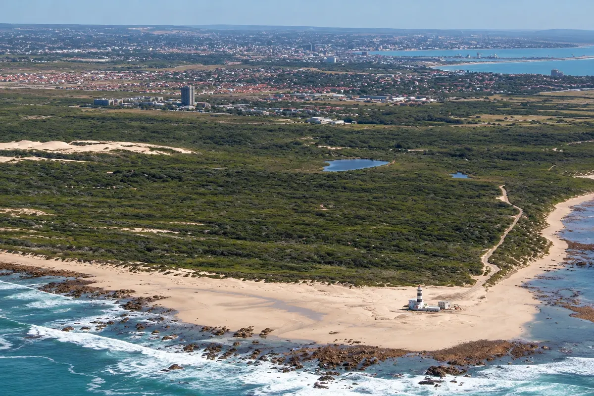
Coastal reserve at the southern tip of Gqeberha, with an 1851 lighthouse, beaches, dunes, trails and the SANCCOB seabird rehabilitation centre.
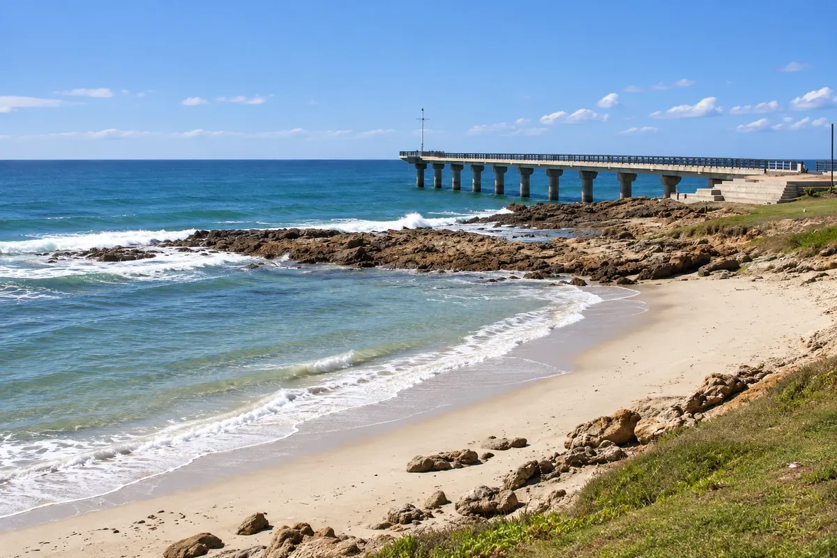
Gqeberha waterfront with calmer, warmer-water beaches such as Kings Beach and Hobie Beach, a promenade and a pier.
Pred odhodom
Gqeberha – Eastern Cape Destinacija Gqeberha and Addo
Razdalje so približne. Pred potovanjem preverite lete in vozne rede avtobusov, vlakov ali ladij.
Confirm before purchasing. Domestic flights connect Johannesburg, Cape Town and Durban to Gqeberha Airport (PLZ), about 4 km from the centre. By the N2, the city is about 760 km from Cape Town and 170 km from Storms River, the end of the Garden Route.
One day for the Donkin reserve, Route 67, the waterfront and Cape Recife. Many people use the city as a gateway for safaris in Addo and for the Garden Route.
The climate is mild year-round, with frequent wind; the city is also called the city of winds. Summer, from December to February, is beach season. From June to November it is common to see whales and dolphins in Algoa Bay.
The seasons shown are the most usual ones; nature doesn't always follow the calendar.
For the centre and the waterfront, ride-hailing apps work. For Addo and Jeffreys Bay, a car is the most practical option, or safaris and tours with transport. Drive on the left.
Predlog poti
Pot povezuje znamenitosti na tej strani. Za oglede boste imeli dovolj časa.
Start in the centre, at the Donkin reserve: climb the lighthouse, see the pyramid and follow the Route 67 public art trail.
Go to the Cape Recife reserve, walk to the lighthouse and visit the penguin rehabilitation centre.
Walk along the Summerstrand waterfront, between Hobie Beach and Kings Beach.
Dine on the waterfront, facing Algoa Bay.
Check before you go. Opening hours and days change, and places may close for renovations, holidays or events. This itinerary is a suggestion from Cidade Turismo, not a commitment: plan yours by checking directly with each place you intend to visit.
Pred odhodom
Yes. Port Elizabeth was officially renamed Gqeberha, the Xhosa name of the river that runs through the city.
Visit the Donkin reserve and Route 67, go to Summerstrand beaches and the Cape Recife reserve, and head out on safari to Addo.
Yes. The waterfront beaches, such as Hobie and Kings Beach, have calmer, warmer water than those on the Atlantic.
About 75 km via the N2, roughly 50 minutes by car.
Več kot vodnik


