

National park
Storms River Mouth
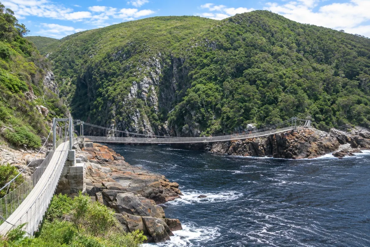
Storms River mouth in Tsitsikamma, with a 77-metre suspension bridge over the sea, trails in the coastal forest and the start of the Otter Trail.

 Išči
 Brazilija
 Antarktika
 Argentina
 Bolivija
 Čile
 Kolumbija
 Ekvator
 Gvajana
 Francoska Gvajana
 Falklandski otoki (Malvini)
 Paragvaj
 Peru
 Surinam
 Urugvaj
 Venezuela
 Nemčija
 Avstrija
 Belgija
 Hrvaška
 Danska
 Slovaška
 Slovenija
 Španija
 Finska
 Francija
 Grčija
 Nizozemska
 Madžarska
 Irska
 Islandija
 Italija
 Luksemburg
 Norveška
 Poljska
 Portugalska
 Združeno kraljestvo
 Češka
 Švedska
 Švica
 Turčija
 Bermudi
 Kanada
 Združene države Amerike
 Grenlandija
 Mehika
 Sveta Peter in Mihael
 Dominikanska republika
 JaponskaTurčijaJužnoafriška republika
 Egipt
 Avstralija
 Fidži
 Nova Zelandija
 Papua Nova Gvineja
Cabo Oriental · Južnoafriška republika
Destinacija: Garden Route.
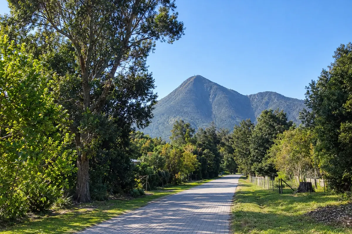
Na fotografiji: Storms River village
Illustrative images. The pictures in this guide are illustrations based on the real place, not photographs, and may differ from it.
Mesto
Storms River is the village at the end of the Garden Route, already in the Eastern Cape, at the gateway to the Tsitsikamma area of the Garden Route National Park. About 15 km away is the Storms River mouth, with a suspension bridge over the sea, forest trails and the start of the Otter Trail. Near the village are the Big Tree, a yellowwood about 800 years old, and the Bloukrans Bridge, known for its bungee jump.
V vodniku še ni nastanitev – Storms River.
kako do tja · koliko dni · načrt poti · vprašanja
Doživite kraj
Storms River mouth in Tsitsikamma, with a 77-metre suspension bridge over the sea, trails in the coastal forest and the start of the Otter Trail.
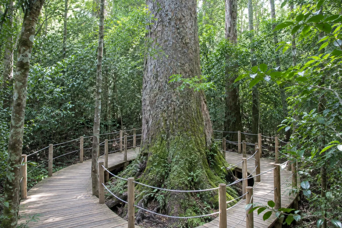
Yellowwood of about 800 years and over 36 metres tall, on a short forest walk near the N2 and Storms River village.
Pred odhodom
Storms River – Eastern Cape Destinacija Garden Route
Razdalje so približne. Pred potovanjem preverite lete in vozne rede avtobusov, vlakov ali ladij.
From George, the arrival city, it is about 170 km along the N2, roughly a 2-hour drive, passing Knysna and Plettenberg Bay. To the east, Gqeberha Airport (PLZ) is about 170 km away. Long-distance buses stop in the village.
One day for the Storms River mouth, the suspension bridge and the Big Tree. With two days you can include a longer hike or kayaking on the river. Many people stay in the park cottages at the river mouth.
Tsitsikamma is the wettest part of the route, with rain year-round. Summer is warmer and busier; spring and autumn tend to be mild. Between July and November southern right whales often pass close to the park coast.
The seasons shown are the most usual ones; nature doesn't always follow the calendar.
Yes. The river mouth is about 15 km from the village, and there is no public transport inside the park. Drive on the left.
Predlog poti
Pot povezuje znamenitosti na tej strani. Za oglede boste imeli dovolj časa.
Go early to the Storms River mouth and do the Mouth Trail to the suspension bridge and the viewpoint.
Do a section of the waterfall trail along the coastal rocks, or take a kayak trip up the river gorge.
On the return, stop at the Big Tree, the yellowwood of about 800 years, near the N2.
Have dinner in the village or at the river-mouth restaurant, facing the sea.
Check before you go. Opening hours and days change, and places may close for renovations, holidays or events. This itinerary is a suggestion from Cidade Turismo, not a commitment: plan yours by checking directly with each place you intend to visit.
Pred odhodom
The village is near the N2; the river mouth, with the suspension bridge and the park cottages, is about 15 km away, inside Tsitsikamma.
About 170 km along the N2, roughly a 2-hour drive.
A 5-day coastal trek through Tsitsikamma, requiring advance booking and with limited places. Short walks from the river mouth follow part of its beginning.
At the Bloukrans Bridge on the N2, about 40 km west of the village, operated by its own company.
Več kot vodnik


