
Before you go
Your trip to Souto Soares.
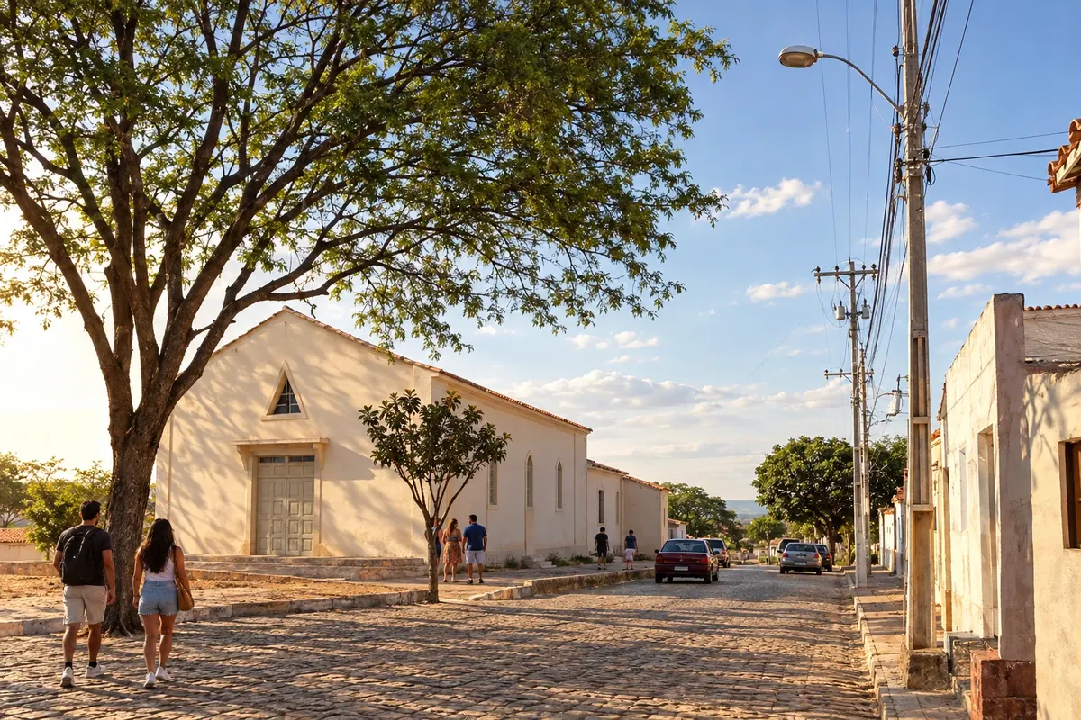
Illustrative images. The pictures in this guide are illustrations based on the real place, not photographs, and may differ from it.

Souto Soares – BA Destination Chapada Diamantina
How to get there
The approach from Iraquara uses the BA-122 corridor and Souto Soares's local access roads. Return to the axis of the chosen bases to continue through the center of the Chapada.
When to go
The period from May to September usually has less rain in Souto Soares. From November to April precipitation increases in the municipality's climate records. To enter rural localities, confirm access with the person hosting the activity.
The seasons shown are the most usual ones; nature doesn't always follow the calendar.
Before you go
Frequently asked questions
Why does Souto Soares appear on the northern branch?
Its position north of Iraquara extends the regional BA-122 corridor, rather than forming a stage of the southern axis of the Serra do Sincorá.
Can I visit the caves from this stop?
The caves mentioned in the circuit are located in municipalities such as Iraquara. They have their own approaches and reception, in addition to the road connection between municipal seats.
Is it necessary to go onto rural roads?
Passing through the municipal seat can use the regional axis. Localities off that route must be chosen and arranged separately.