
Before you go
Your trip to Barra da Estiva.
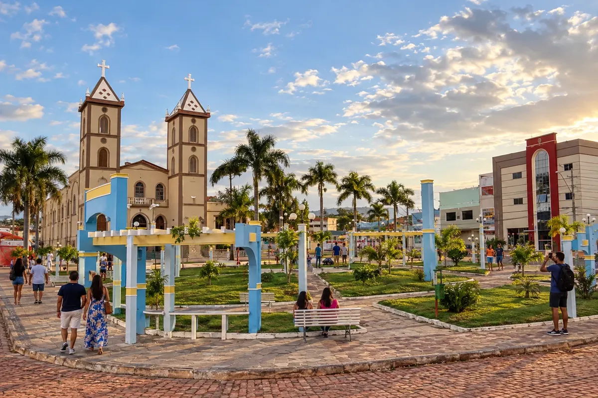
Illustrative images. The pictures in this guide are illustrations based on the real place, not photographs, and may differ from it.

Barra da Estiva – BA Destination Chapada Diamantina
How to get there
The BA-142 axis links the Barra da Estiva region to the Mucugê and Ituaçu corridors. Approaching the town seat and the rural localities adds their own access routes.
When to go
From May to September, rainfall generally decreases on the plateaus of Barra da Estiva. The rainiest period typically runs from October to April. The altitude can make nights cool throughout the mountain stages.
The seasons shown are the most usual ones; nature doesn't always follow the calendar.
Before you go
Frequently asked questions
What is Barra da Estiva's role on the route?
The town is a stage of the BA-142 corridor between the access points to Ibicoara and Ituaçu, in mountainous terrain.
Are the rural access roads part of the main road?
They have their own conditions and routes. Decide which locality you intend to reach before leaving the BA-142 axis.
Can I combine this stage with Ibicoara?
The regional connection allows organizing both towns on the same trip. Tours in Ibicoara require time and separate local access routes.