Morrocoy

Falcón · Venezuela

Morrocoy

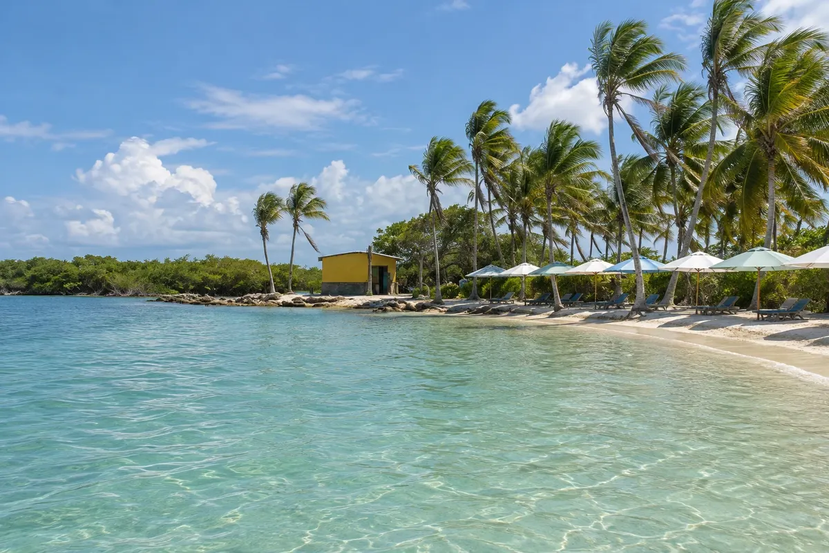
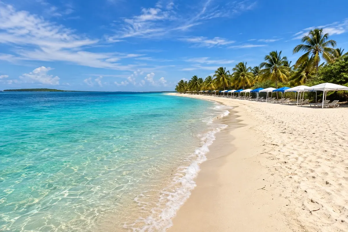
White-sand islets, mangroves and clear water of Parque Nacional Morrocoy in the Venezuelan Caribbean, with boat trips from Tucacas and Chichiriviche.

West

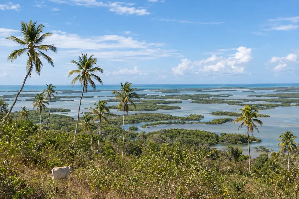
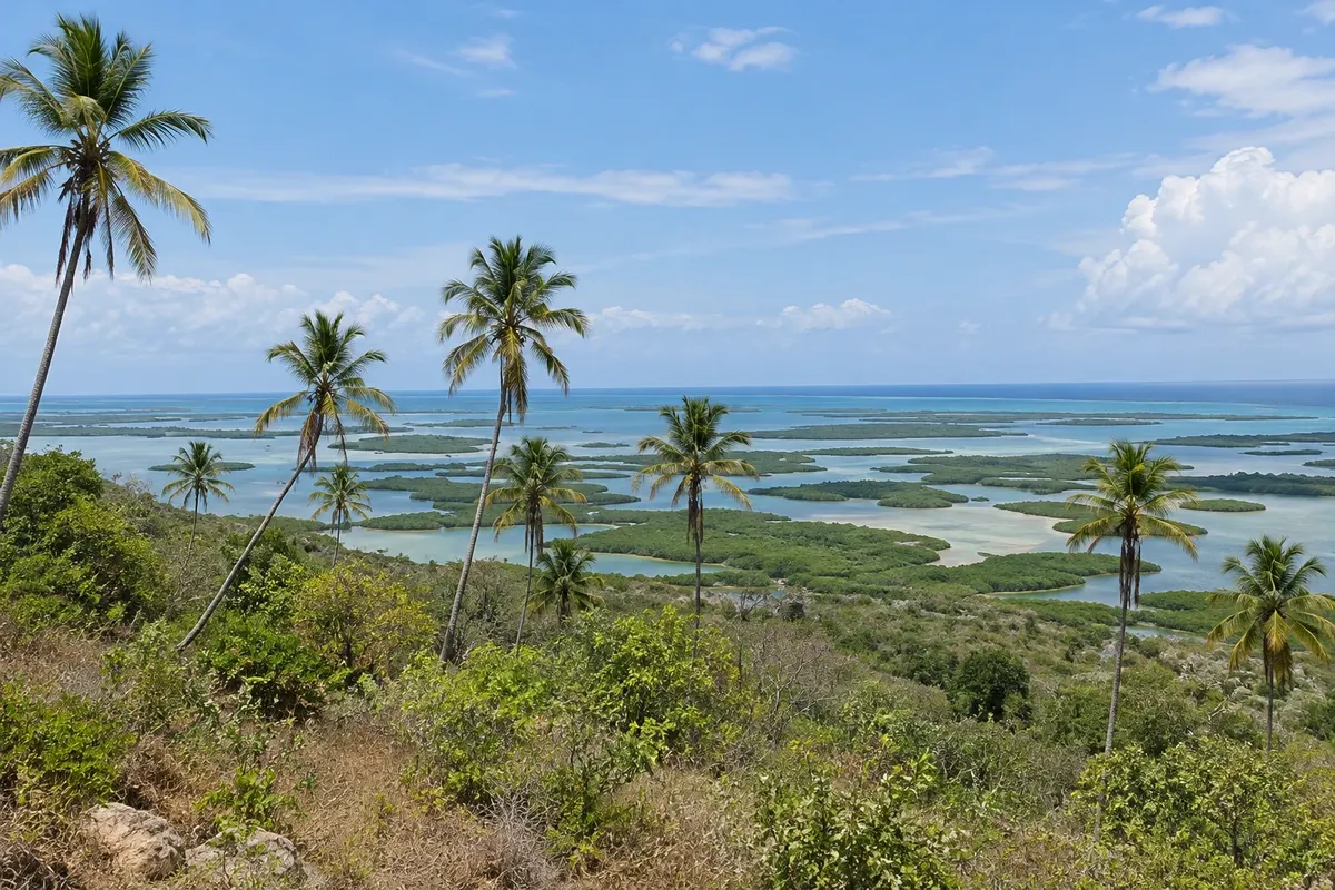
Na fotografiji: View of the cays of Parque Nacional Morrocoy

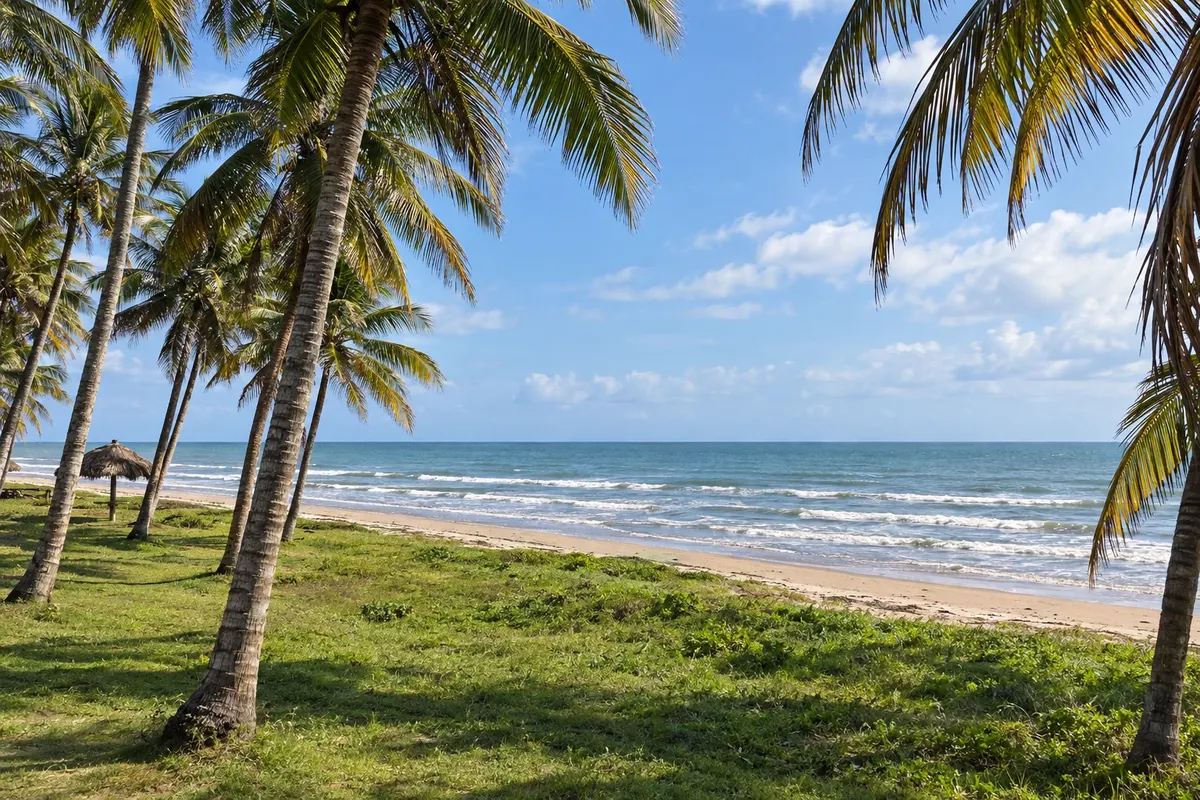
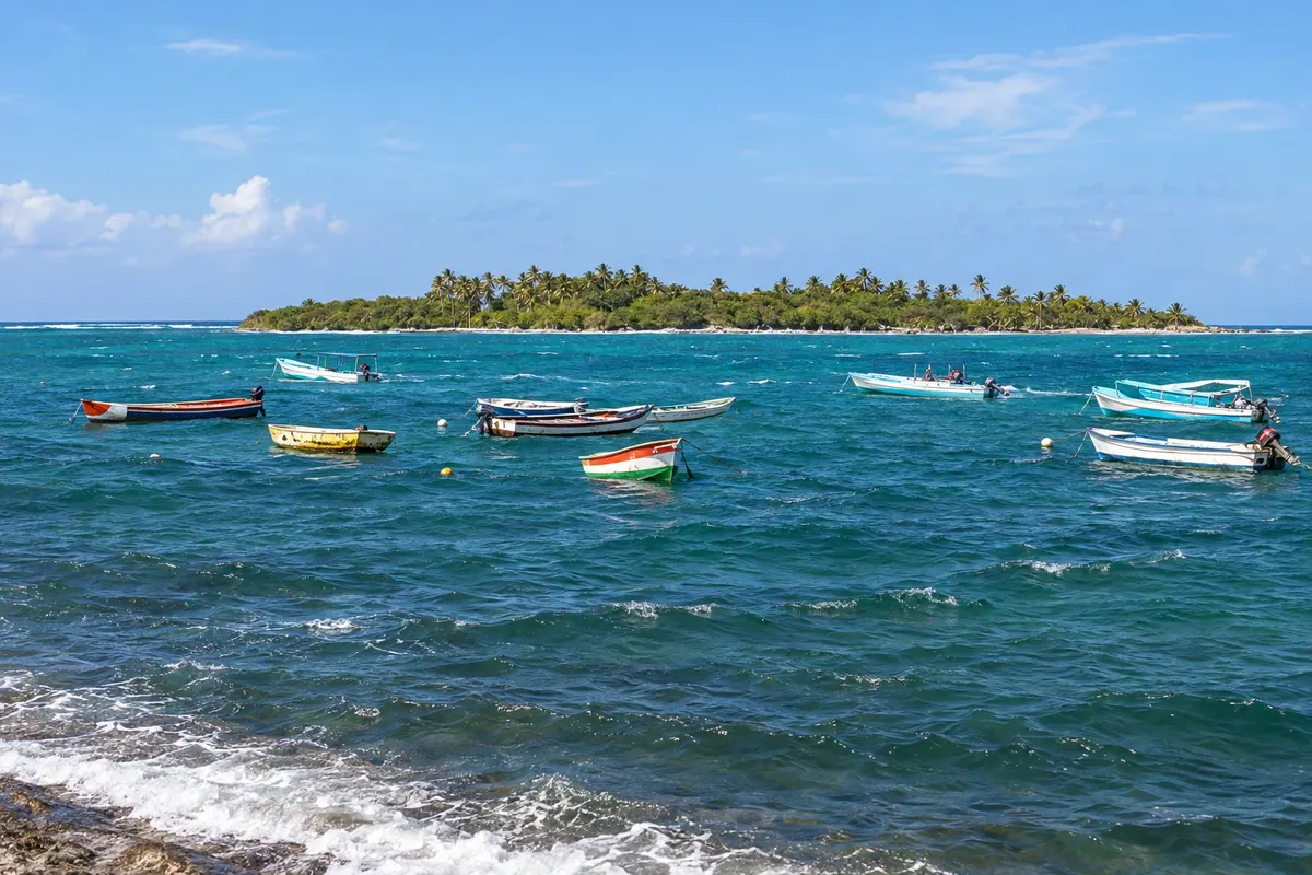
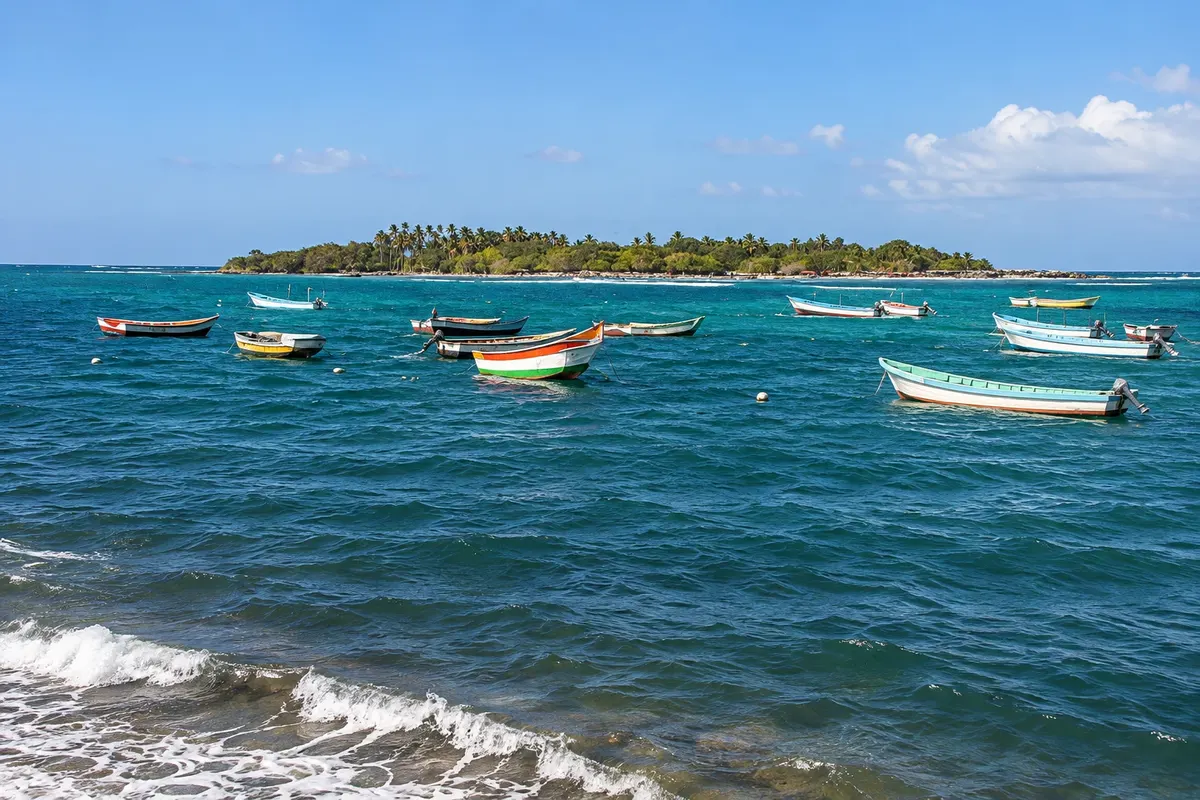
Illustrative images. The pictures in this guide are illustrations based on the real place, not photographs, and may differ from it.

Na voljo v trgovini Google Play Pošljite svoje fotografije

Spoznajte kraj

Pokrajina, ki jo doživite
v svojem ritmu.

Parque Nacional Morrocoy lies on the eastern coast of the state of Falcón, in western Venezuela, facing the Golfo Triste in the Caribbean Sea. Created in 1974, it covers about 32,000 hectares of land and sea, with mangroves, channels, coral reefs and dozens of islets and white-sand cays such as Sombrero, Sal, Muerto, Boca Seca and Paiclá.

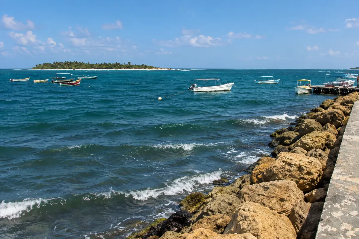
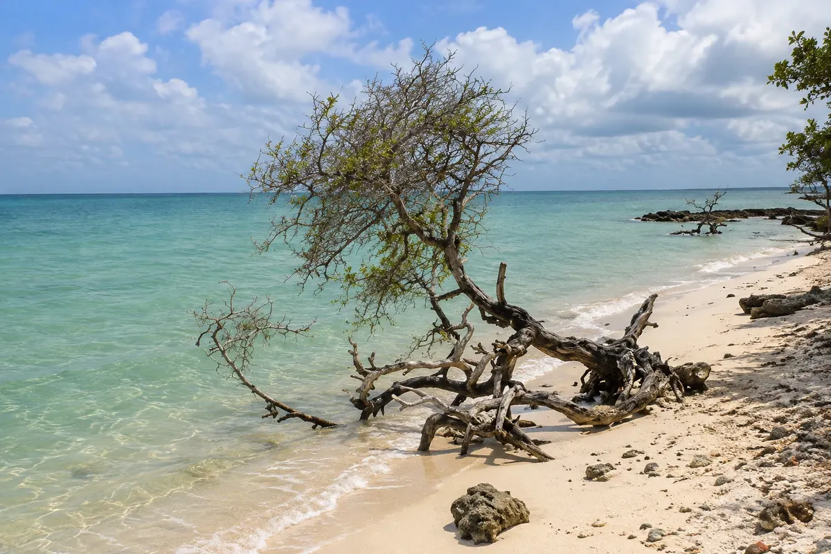
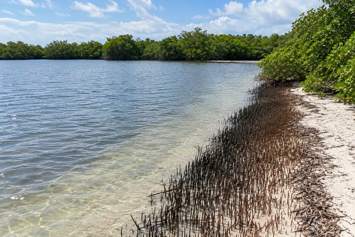
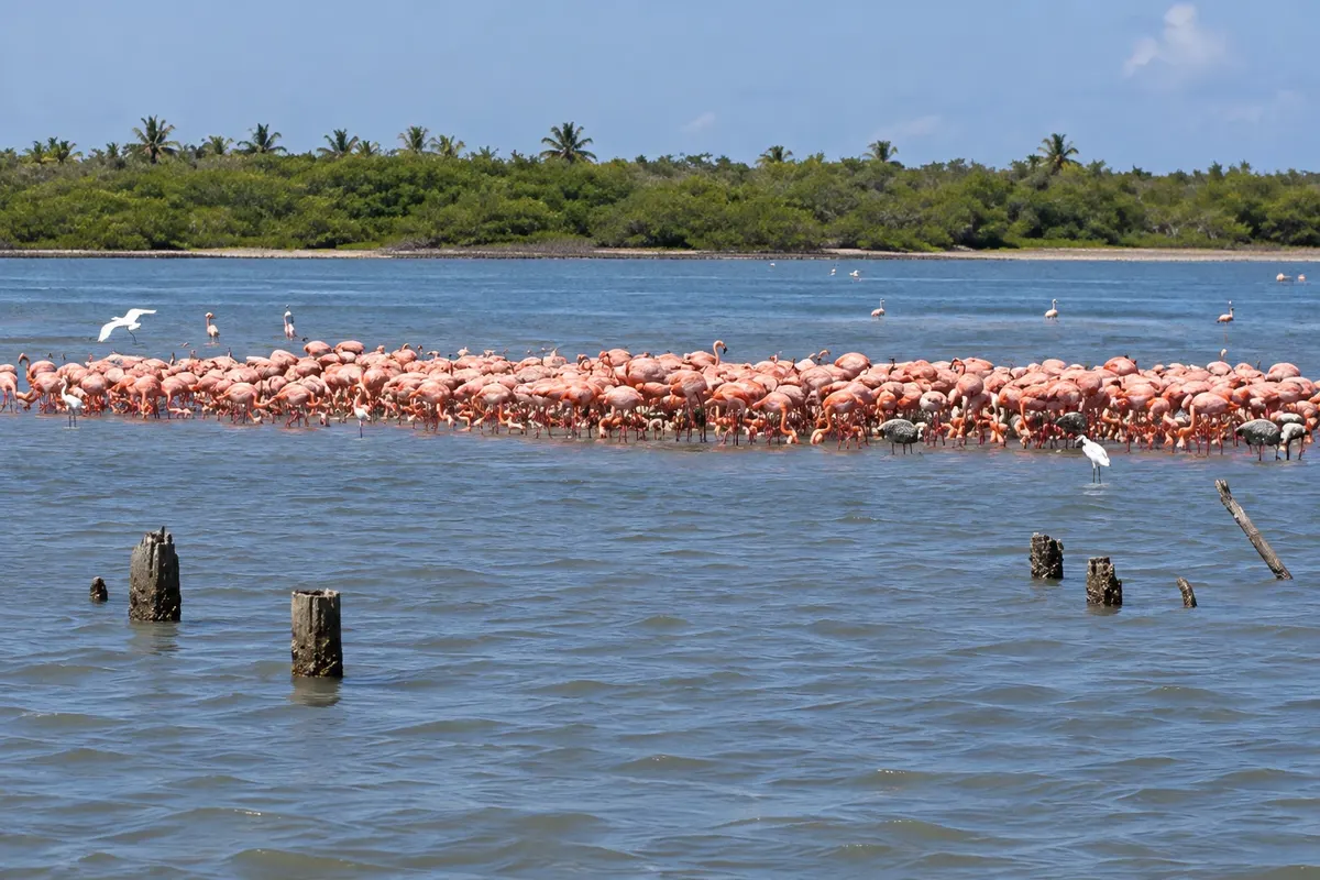
The cays are visited by motorboat from the piers of Tucacas to the south and Chichiriviche to the north. Each cay has its own beach: some have coconut palms and beach stalls, others are only sand and shallow water. Between them, mangrove channels shelter herons, pelicans, frigatebirds and, in some seasons, flamingos.

To the north of the park, near Chichiriviche, is the Refúgio de Fauna Silvestre de Cuare, an area of mangroves and lagoons where flamingos often feed and where the Cueva de la Virgen is located, a cave with a religious image in the cliff.

Entry rules for Venezuela can change: check with the consulate before traveling.

This destination brings together 2 cities: Tucacas, Chichiriviche.

Delite: WhatsApp
Delite svoja popotniška doživetja s fotografijami Pošljite fotografije vsakega kraja, ki ste ga obiskali. Največje število fotografij na kraj: 5.

Ena destinacija, več poti

Mesta na tej poti

Začnite v enem mestu ali v načrt poti vključite več mest.

Morrocoy – lega
TucacasChichiriviche

Obrisi: INE da Venezuela e OCHA, via geoBoundaries (CC BY 3.0 IGO). Priredba: Cidade Turismo.

Kako do tja:Morrocoy

✈ Aeropuerto Internacional Arturo Michelena (VLN), kraj: Valencia· 110 km do cilja (Tucacas)

✈ Aeropuerto Internacional Simón Bolívar (CCS), kraj: Maiquetía· 250 km do cilja (Tucacas)

Check before booking. The nearest airports are Valencia, about 110 km from Tucacas, and Caracas, about 250 km. From Valencia, buses and cars follow the coastal road to Tucacas and Chichiriviche.

Predlagana točka prihoda:Tucacas

Doživite kraj

Kaj početi – Morrocoy

Cayo Sal
Chichiriviche · Falcón · Otok

Cayo Sal

White-sand cay with coconut palms and shallow water, a few minutes by boat from Chichiriviche, with beach stalls and shade.

Morrocoy National Park
Tucacas · Falcón · National park

Morrocoy National Park

Park of about 32,000 hectares of mangroves, channels, reefs and white-sand cays, created in 1974 between Tucacas and Chichiriviche.

Cayo Muerto
Chichiriviche · Falcón · Otok

Cayo Muerto

The caye closest to Chichiriviche, about five minutes from the orla, with many palm trees, white sand and calm water.

Punta Brava Cay
Tucacas · Falcón · Plaža

Punta Brava Cay

Cay connected to Tucacas by a bridge, the only one in the park reachable by car, with calm-water beaches and mangroves.

Morrocoy – prikaži dodatne kraje (4)
Paiclá Cay
Tucacas · Falcón · Otok

Paiclá Cay

Cay in the south of the park with three beaches: Playuela, Playuelita and Playa Mero, the latter reached by a short trail through the mangrove.

Cuare Wildlife Refuge
Chichiriviche · Falcón · Natural area

Cuare Wildlife Refuge

Protected area of mangroves and lagoons next to Parque Morrocoy, with flamingos, red corocoras and the Cueva de la Virgen, a cave in the cliff.

Boca Seca Cay
Tucacas · Falcón · Otok

Boca Seca Cay

Cayo with white sand and very shallow, calm water, near Tucacas, popular with families.

Sombrero Cay
Tucacas · Falcón · Otok

Sombrero Cay

The cayo farthest from the park, with beaches on both sides, coconut trees and clear water for snorkeling, reachable by boat from Tucacas or from Chichiriviche.

Pred odhodom

Praktične informacije

Z nekaj načrtovanja boste imeli več časa za uživanje na poti.

Kdaj se odpraviti

The climate is warm and sunny year-round. From December to April, in the dry season, it usually rains less and the sea is clearer. From May to November there is more rain, often in short downpours. Holidays, Carnival, Holy Week and August school vacations crowd the piers and the cays.

The seasons shown are the most usual ones; nature doesn't always follow the calendar.

Koliko dni ostati

Three days are enough for two or three cays and a mangrove tour. With five days, you can visit the cays on both sides of the park and the Refúgio de Cuare.

V katerem mestu prenočiti

Tucacas is the larger town, with more lodgings and restaurants, and serves the cays to the south and center of the park. Chichiriviche is smaller and quieter, near the northern cays and the Refúgio de Cuare. In both towns, guesthouses are close to the piers where the boats depart.

Spoštujte kraj

Odnesite svoje odpadke, upoštevajte oznake in podprite lokalne ponudnike. V naravi upoštevajte navodila za obiskovalce.

Odgovori na vaša vprašanja

Pogosta vprašanja – Morrocoy

How are the cays of Morrocoy visited?

By motorboat from the piers of Tucacas and Chichiriviche, with departures to each cay and a prearranged return time. Check park rules beforehand.

Tucacas or Chichiriviche?

Tucacas is closer to the southern cays such as Boca Seca, Paiclá and Punta Brava; Chichiriviche is closer to the northern cays such as Sal and Muerto, and to the Refúgio de Cuare. Cayo Sombrero can be reached from both.

What is the best time to visit Morrocoy?

From December to April it usually rains less. Avoid holidays, when the cays become crowded.

Are there flamingos in Morrocoy?

Flamingos often feed in the lagoons of the Refúgio de Cuare, near Chichiriviche, but their presence varies with the season.

Odkrijte druge destinacije Iskanje po zvezni državi in mestu

Več kot vodnik