Nordkapp
Odhod: Honningsvåg It is at the end of the E69, about 34 km from Honningsvåg, roughly a 40-minute drive From daytime visits to about 2 hours on the plateau and in the visitor center. during the day depending on the route chosen
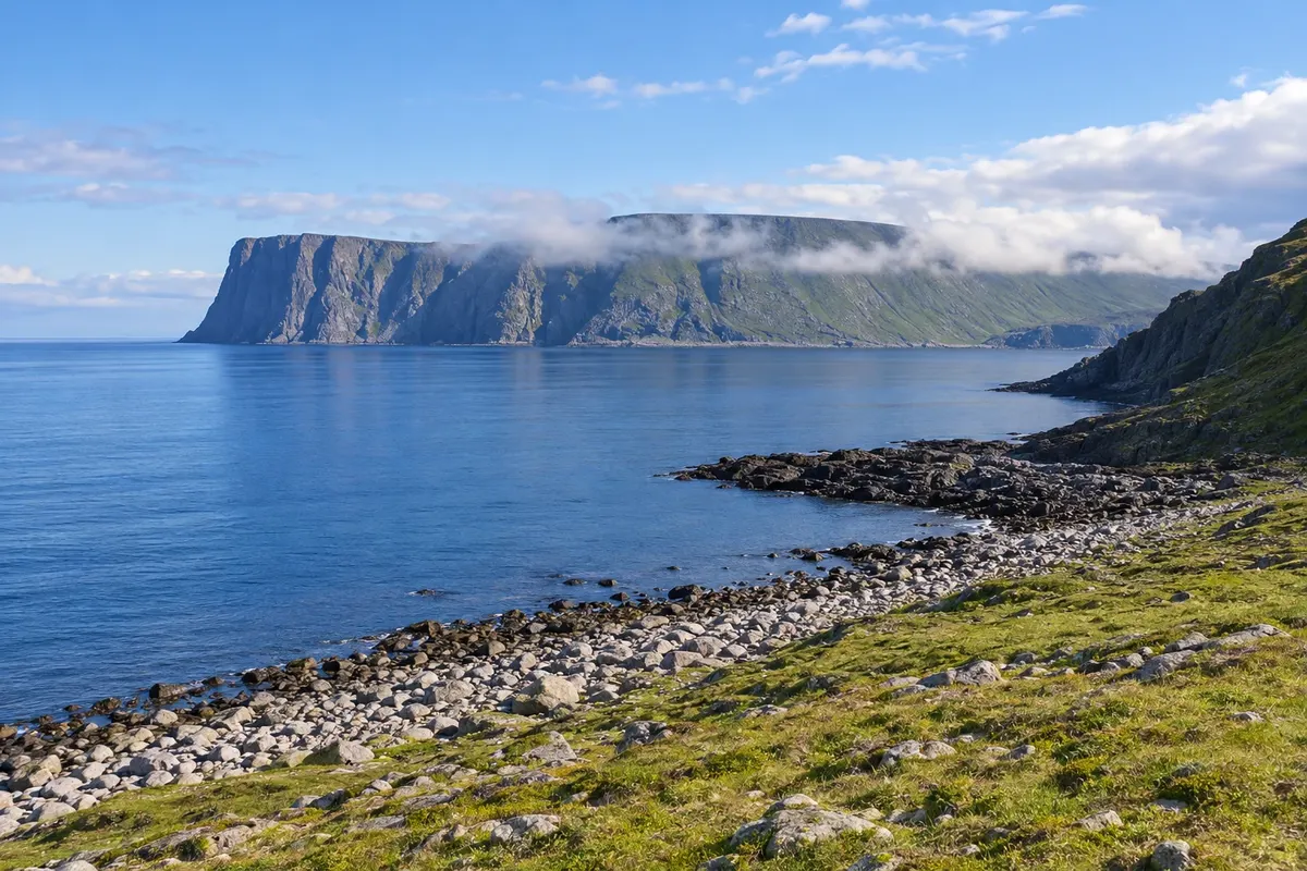
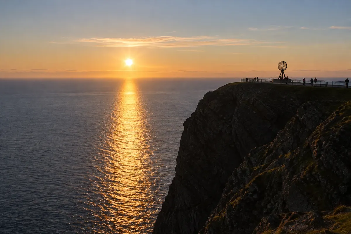
The North Cape plateau sits atop a cliff about 307 meters high that drops down to the Barents Sea, at the tip of Magerøya. It is an area of rock, moss and lichens, without trees, with the sea on three sides and, on a clear day, an open horizon toward the pole. The metal globe on a pedestal at the cliff edge is the most photographed image of the site.
The Nordkapphallen visitor center is partly carved into the rock. Inside there is a panoramic film about the island through the four seasons, exhibits on the history of the cape and its visitors—such as King Chulalongkorn of Siam, who visited in 1907—a small ecumenical chapel, a lit grotto and a restaurant with sea-view windows. A tunnel leads to a room with an inward view of the cliff from inside the rock.
Kraji na poti: Nordkapp.
Vključuje: Arrange access to the site and transport separately. Guided activities and tickets have their own conditions.
Nasvet: Bring a jacket, hat and gloves even in July. Watch the panoramic film upon arrival and go out to the plateau when the fog clears. In summer, arrive before midnight for the sun over the sea.
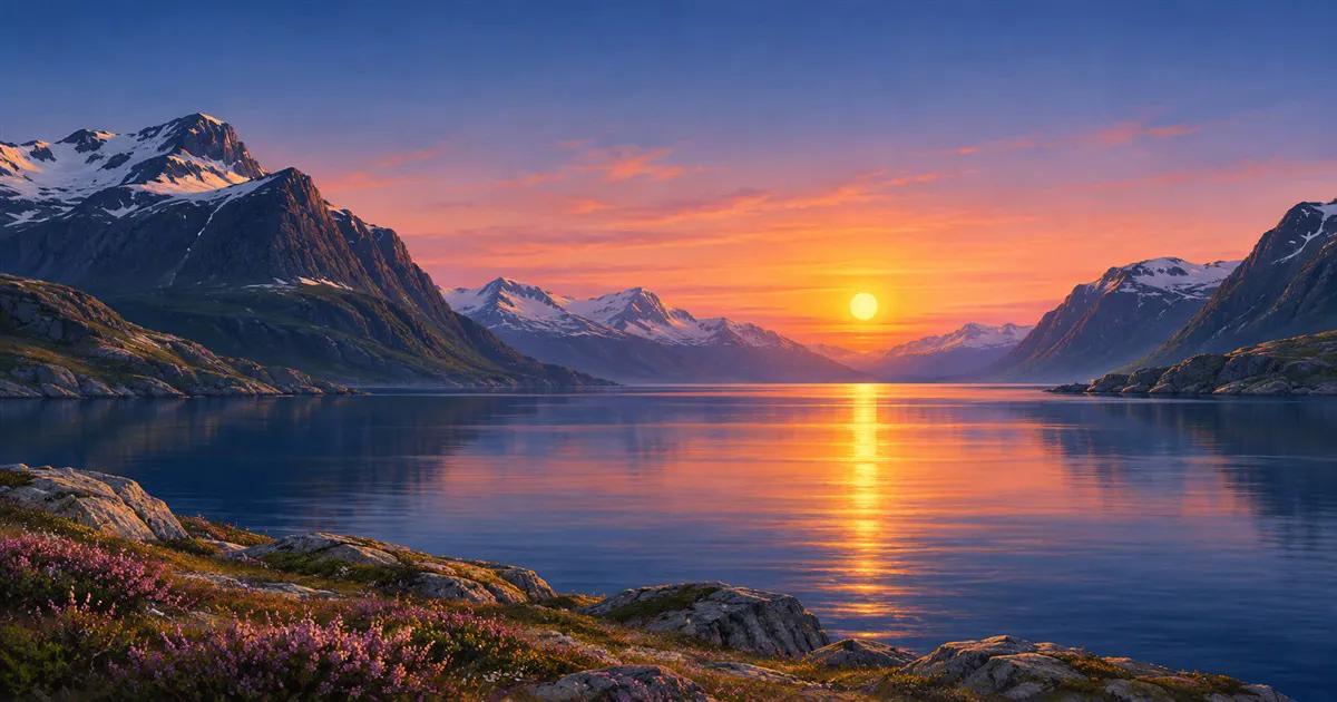
Najboljši čas za obisk: From mid-May to the end of July, at night, for the midnight sun in clear skies
Knivskjellodden
Odhod: Honningsvåg The trailhead begins at a parking area by the E69, about 6 km before 4 to 6 hours round trip. during the day depending on the route chosen
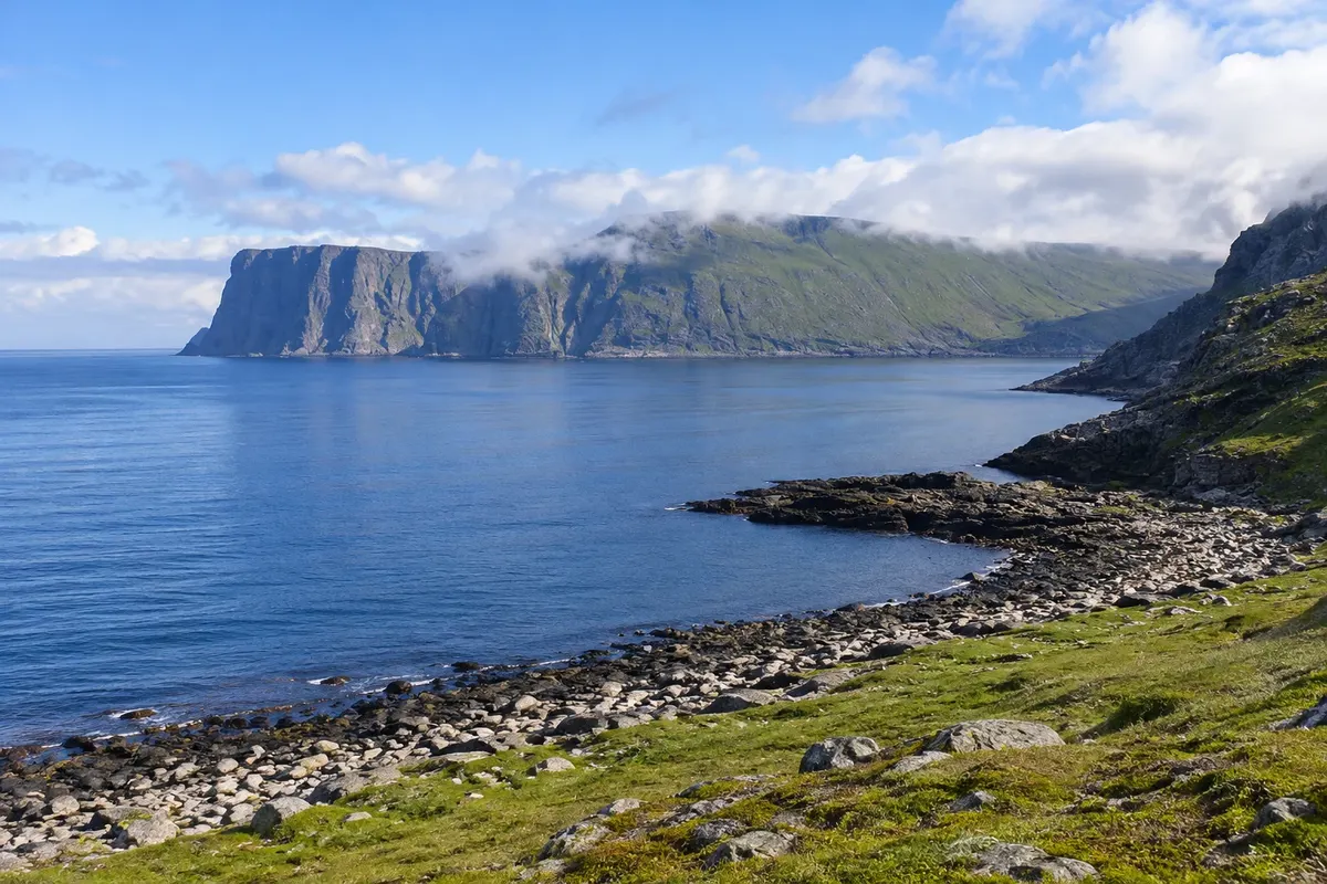
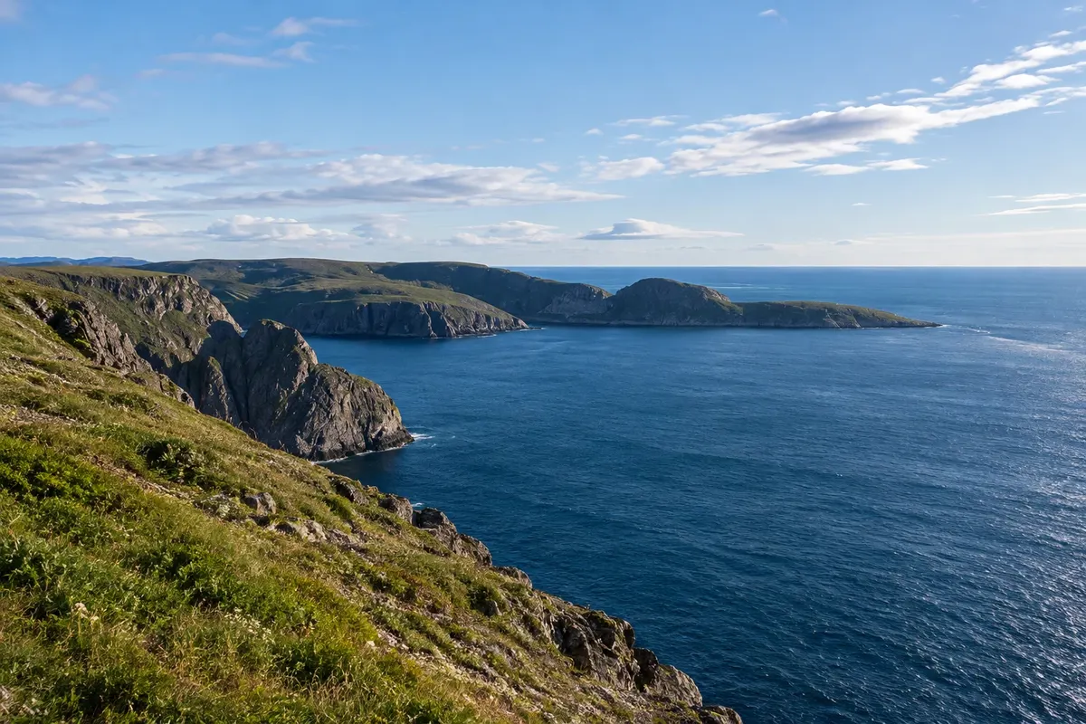
Knivskjellodden is a low rocky point on the north coast of Magerøya, west of the North Cape. It lies at about 71 degrees 11 minutes latitude, roughly 1.5 km farther north than the famous cliff, and is the northernmost point of the island. Unlike the cape, it has no road, visitor center or high cliff: it is a rocky tongue that juts into the sea.
The trail starts at a parking area on the E69, about 6 km from the North Cape, and is roughly 9 km each way, taking 4 to 6 hours round trip. The route is marked with piled stones and stakes and descends across Magerøya’s tundra, passing lakes, streams, moss and rocks down to the sea. There are no trees, and the wind is often steady.
Kraji na poti: Knivskjellodden.
Vključuje: Arrange access to the site and transport separately. Guided activities and tickets have their own conditions.
Nasvet: Wear waterproof boots: the tundra has wet sections. Bring layered clothing, a hat, gloves, water and a snack. Sign the logbook at the end of the trail.
Najboljši čas za obisk: From June to September, when the trail is usually snow-free
Gjesværstappan
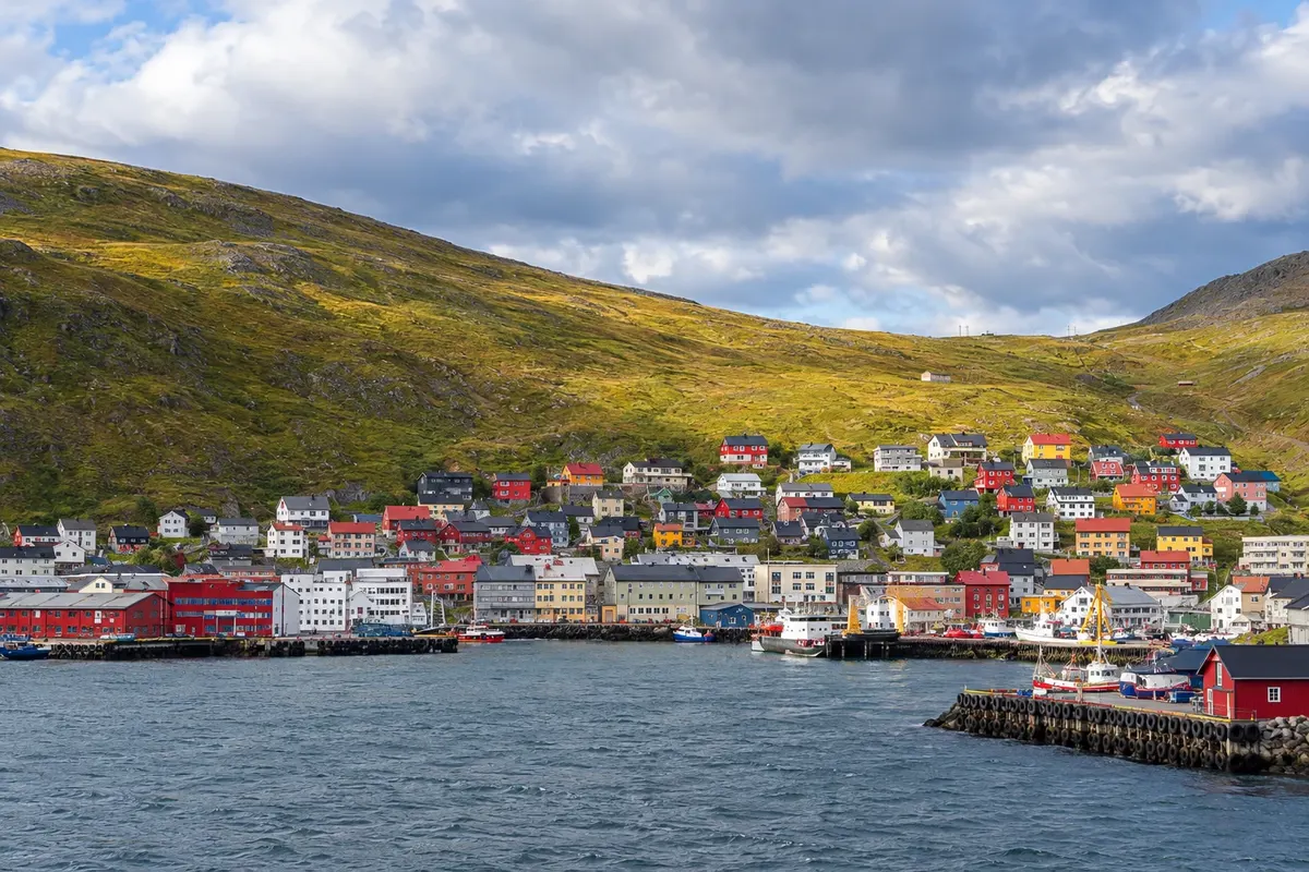
Odhod: Honningsvåg Boats depart from the port of Gjesvær, about 35 km from Honningsvåg, via the road. From daytime to 2 hours on the boat trip. during the day depending on the route chosen
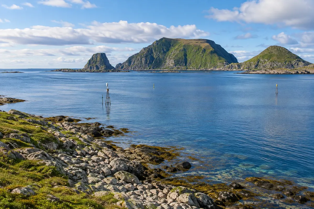
Gjesværstappan is a group of islands and skerries off the northwest coast of Magerøya, opposite the fishing village of Gjesvær, about 35 km from Honningsvåg. It is a nature reserve with some of the largest seabird colonies in northern Norway and is visited only by boat.
During the breeding season the cliffs are covered with birds: puffins, which nest in burrows in the grass above; black-legged kittiwakes, razorbills, guillemots, barnacle geese and cormorants. White-tailed eagles often fly over the skerries and can be seen close up. Seals appear on the rocks near the water.
Kraji na poti: Gjesværstappan.
Vključuje: Arrange access to the site and transport separately. Guided activities and tickets have their own conditions.
Nasvet: Bring a waterproof jacket and binoculars; the sea can be rough. Book the boat in advance in summer and arrange the North Cape visit for the same day.
Najboljši čas za obisk: The bird season typically runs from April to August; puffins are usually in their nests from May until mid-August.


 Brazilija
 Antarktika
 Argentina
 Bolivija
 Čile
 Kolumbija
 Ekvator
 Gvajana
 Francoska Gvajana
 Falklandski otoki (Malvini)
 Paragvaj
 Peru
 Surinam
 Urugvaj
 Venezuela
 Nemčija
 Avstrija
 Belgija
 Hrvaška
 Danska
 Slovaška
 Slovenija
 Španija
 Finska
 Francija
 Grčija
 Nizozemska
 Madžarska
 Irska
 Islandija
 Italija
 Luksemburg
 Poljska
 Portugalska
 Združeno kraljestvo
 Češka
 Švedska
 Švica
 Turčija
 Bermudi
 Kanada
 Združene države Amerike
 Grenlandija
 Mehika
 Sveta Peter in Mihael
 Dominikanska republika
 Japonska
 Južnoafriška republika
 Egipt
 Avstralija
 Fidži
 Nova Zelandija
 Papua Nova Gvineja