Egilsstaðir
Egilsstaðir is a service base in the interior of the East, along the Route 1 corridor. Hengifoss and Hallormsstaðaskógur are in the Lagarfljót valley; Stuðlagil requires its own detour toward Jökuldalur.
Antarktika
Eastern Region · Islandija
Inhabited fjords and valleys with waterfalls, forest and basalt columns between Egilsstaðir and Seyðisfjörður.
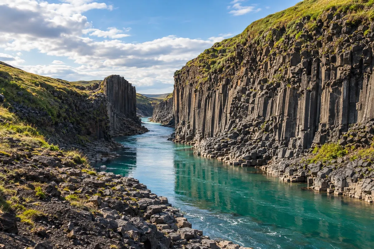
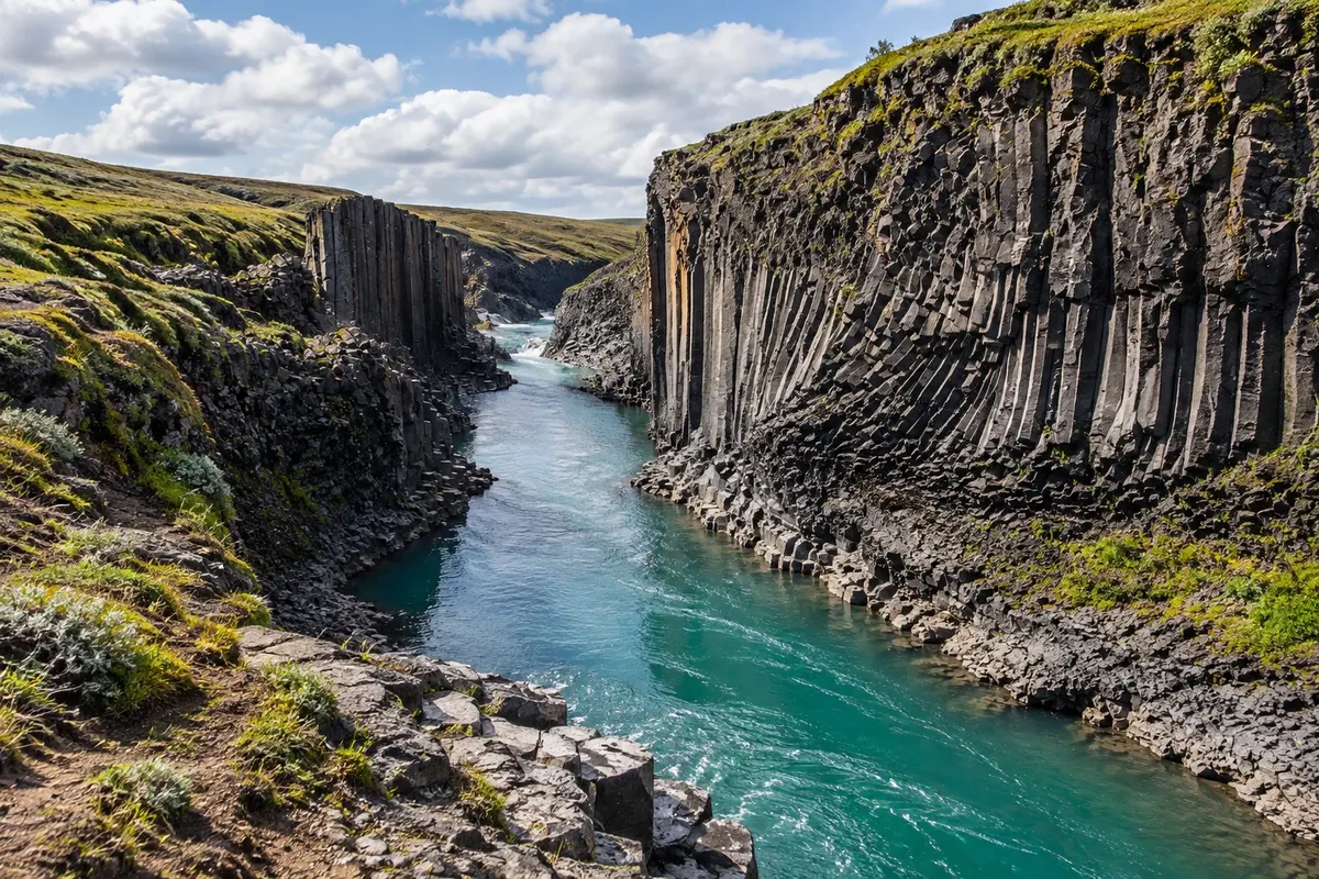
Na fotografiji: Stuðlagil
Illustrative images. The pictures in this guide are illustrations based on the real place, not photographs, and may differ from it.
Spoznajte kraj
The East offers two complementary bases. Egilsstaðir organizes the main road and trips into the inland valleys. Seyðisfjörður sits at the head of a fjord, after the mountain pass, with a core of wooden buildings and an international sea connection.
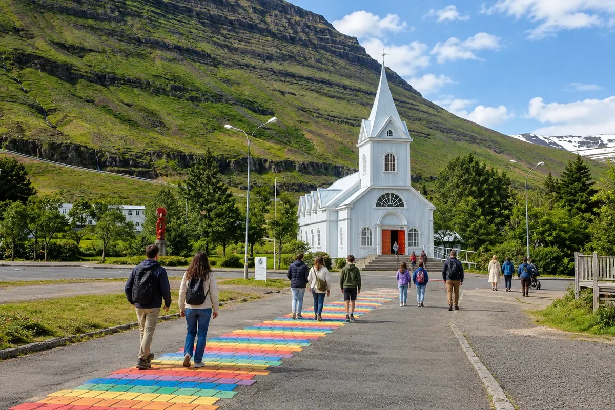
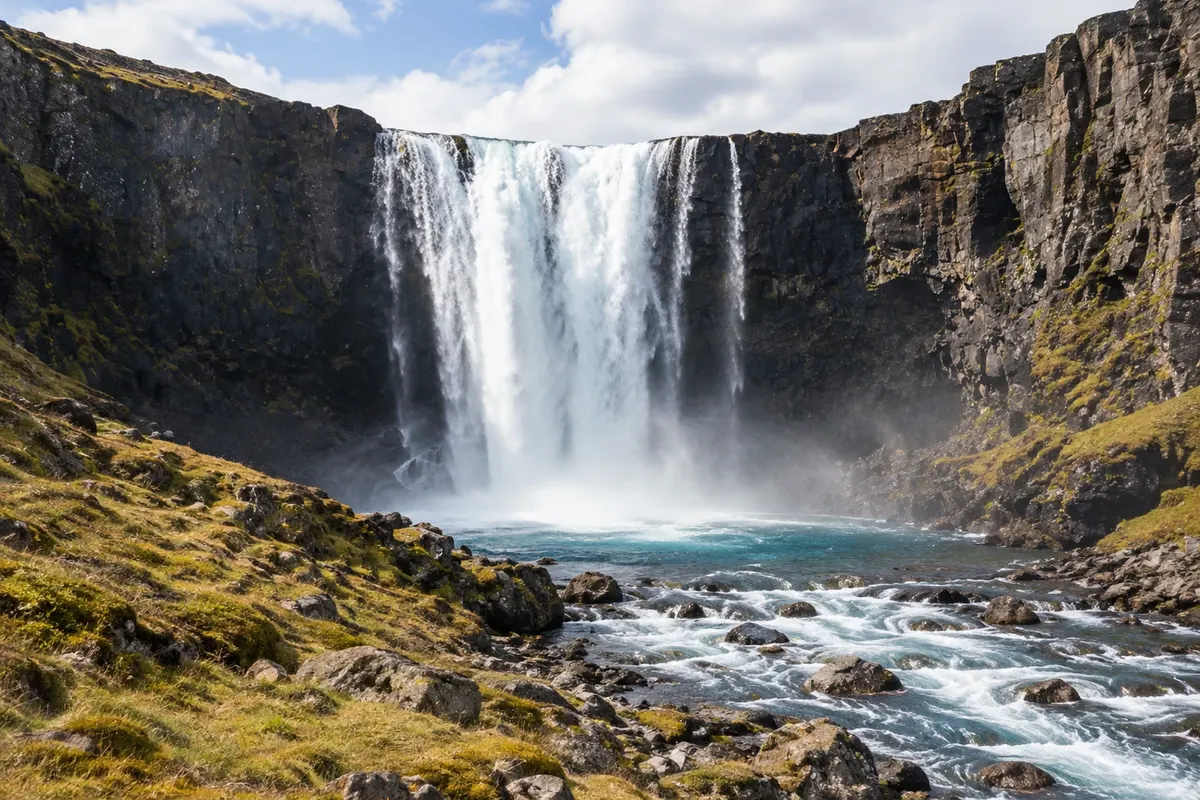
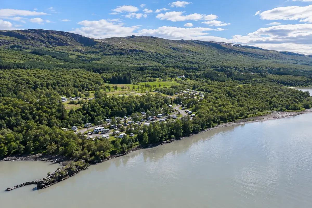
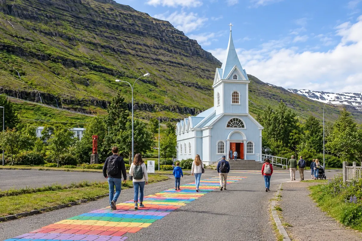
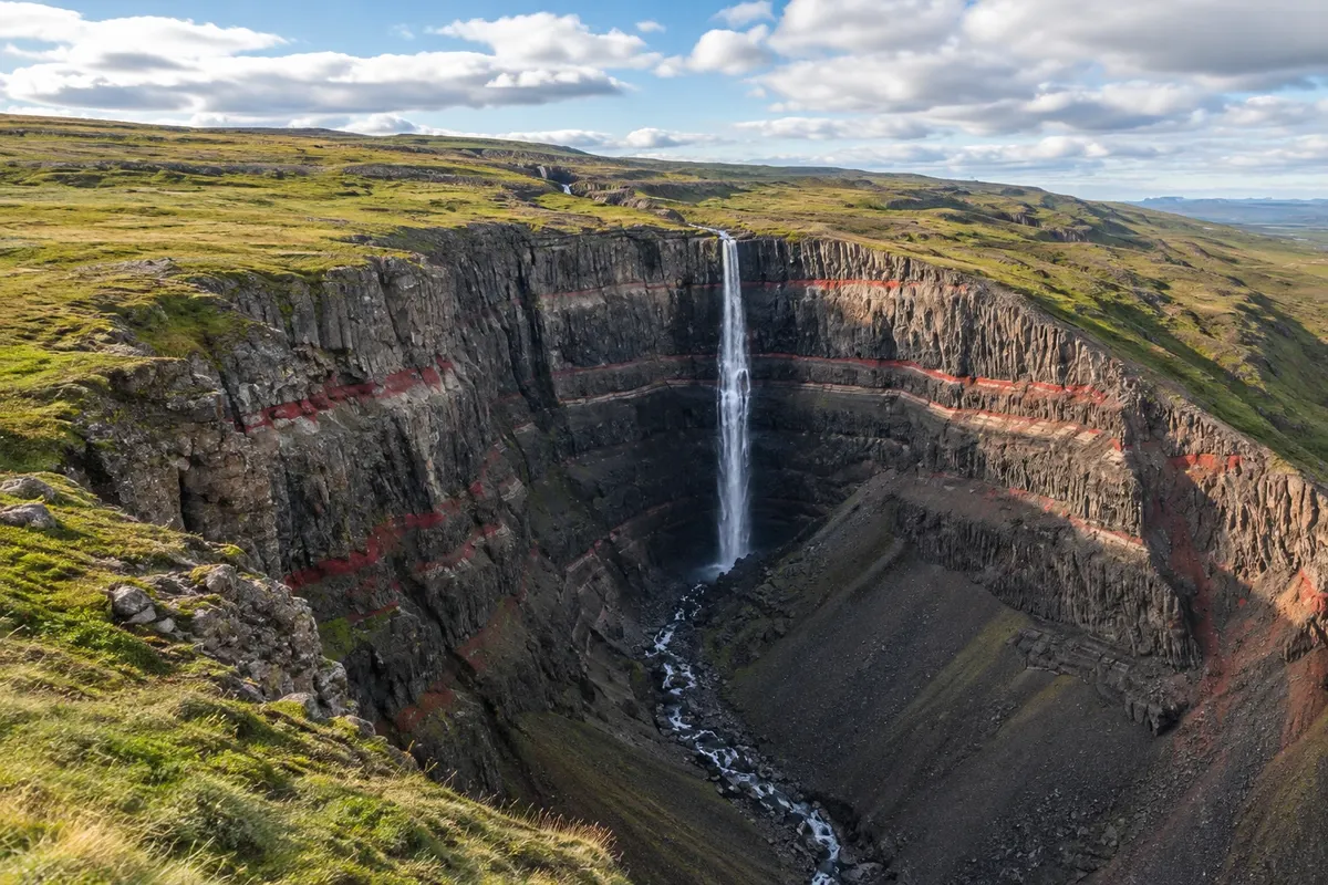
Hengifoss features a wall of reddish layers and a hike that passes Litlanesfoss. Hallormsstaðaskógur adds a wooded area beside Lagarfljót. Stuðlagil shows basalt forming a canyon. On the road toward the fjord, Gufufoss pairs well with a visit to the village's blue church.
The landscapes are not all on the same road, and detours require their own days. Book meals at the bases and pick hikes that fit between drives, instead of trying to combine the inland and the entire coast in one day.
This destination brings together 2 cities: Egilsstaðir, Seyðisfjörður.
Ena destinacija, več poti
Začnite v enem mestu ali v načrt poti vključite več mest.
Obrisi: National Land Survey of Iceland, via geoBoundaries (CC BY 4.0). Priredba: Cidade Turismo.
Confirm before booking. Egilsstaðir has an airport and is accessible via Route 1; Route 93 continues to the fjord of Seyðisfjörður.
Predlagana točka prihoda:Egilsstaðir
Egilsstaðir is a service base in the interior of the East, along the Route 1 corridor. Hengifoss and Hallormsstaðaskógur are in the Lagarfljót valley; Stuðlagil requires its own detour toward Jökuldalur.
Seyðisfjörður sits at the head of a fjord and brings together wooden buildings in a compact core. The blue church is part of the urban walk; Gufufoss lies in the valley along the access road from Egilsstaðir.
Doživite kraj
Waterfall in front of a wall with reddish bands, reached by a trail in the valley of Fljótsdalur.
Light-blue wooden church at the head of a fjord, next to the village's cluster of houses.
The drop of the Fjarðará river in the valley that gives access to Seyðisfjörður, near the mountain road.
Gorge with walls of basalt columns along the course of the Jökla river.
Wooded area beside lake Lagarfljót, with trails and tree collections.
Pred odhodom
Z nekaj načrtovanja boste imeli več časa za uživanje na poti.
From June to August, the hours of daylight usually make trails and detours easier. Between December and February, cold and short days call for shorter stages and confirmation of access.
The seasons shown are the most usual ones; nature doesn't always follow the calendar.
Four to five days allow combining the inland valleys with one or two nights at the fjord.
Egilsstaðir concentrates services and reduces travel to the inland trails. Seyðisfjörður is better for urban walking and the experience of staying at the head of the fjord. Check logistics before using the village as a base for all the valleys.
Odnesite svoje odpadke, upoštevajte oznake in podprite lokalne ponudnike. V naravi upoštevajte navodila za obiskovalce.
Odgovori na vaša vprašanja
The town is an inland base; Seyðisfjörður offers overnighting at the head of the fjord.
It's about 27 km, but the connection crosses mountain terrain and requires planning according to conditions.
No. The canyon requires a separate detour, toward Jökuldalur.
Več kot vodnik