Taveuni and Savusavu

Cakaudrove · Fidži

Taveuni and Savusavu

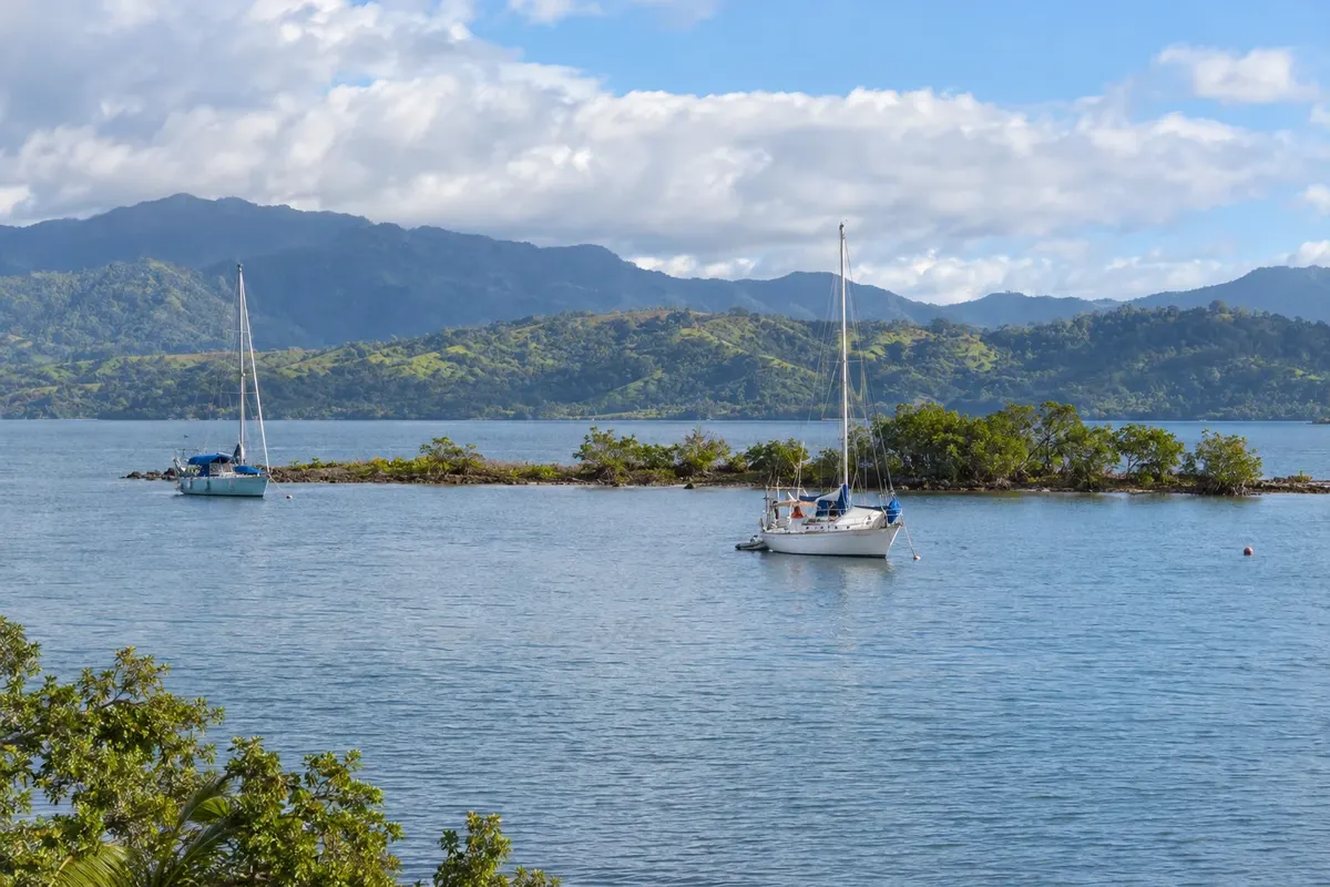
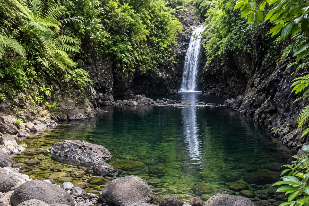
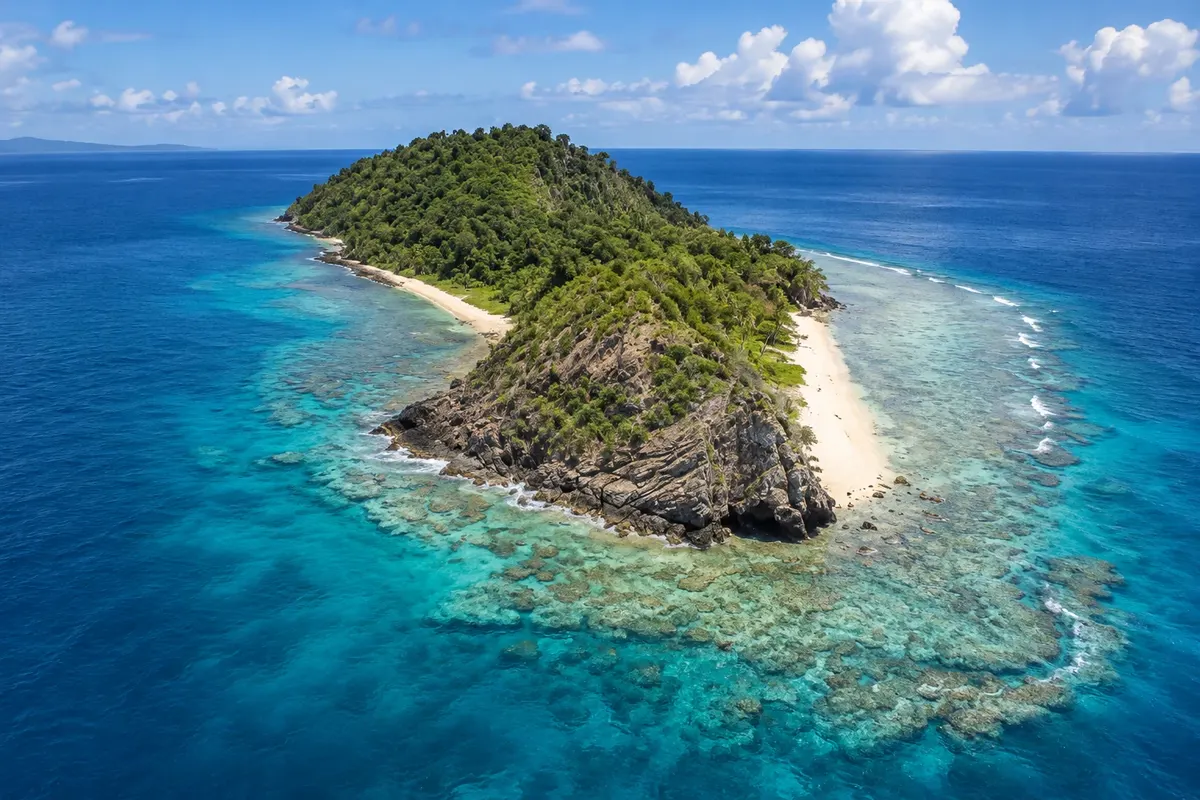
Fiji’s Garden Island and the bay of Savusavu: waterfalls in the forest, the 180° meridian, the Rainbow Reef of soft corals and the hot springs in central Savusavu.

Vanua Levu and Taveuni

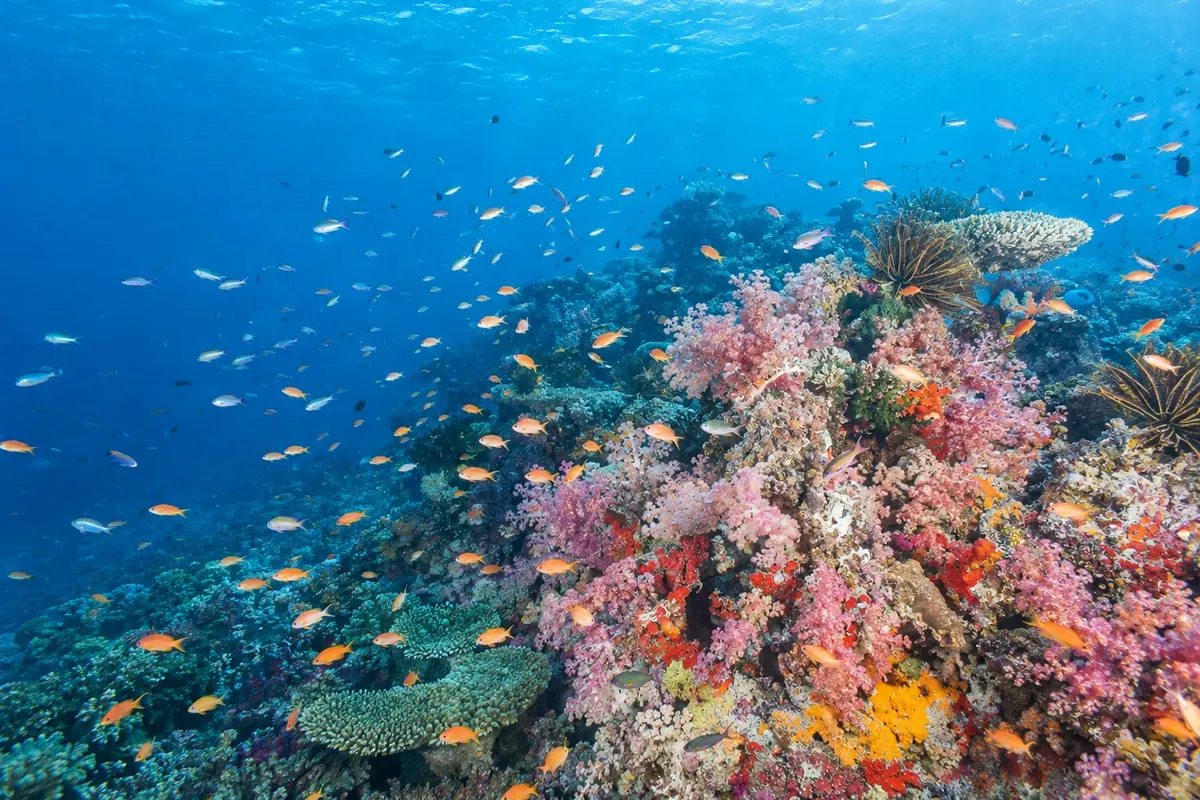
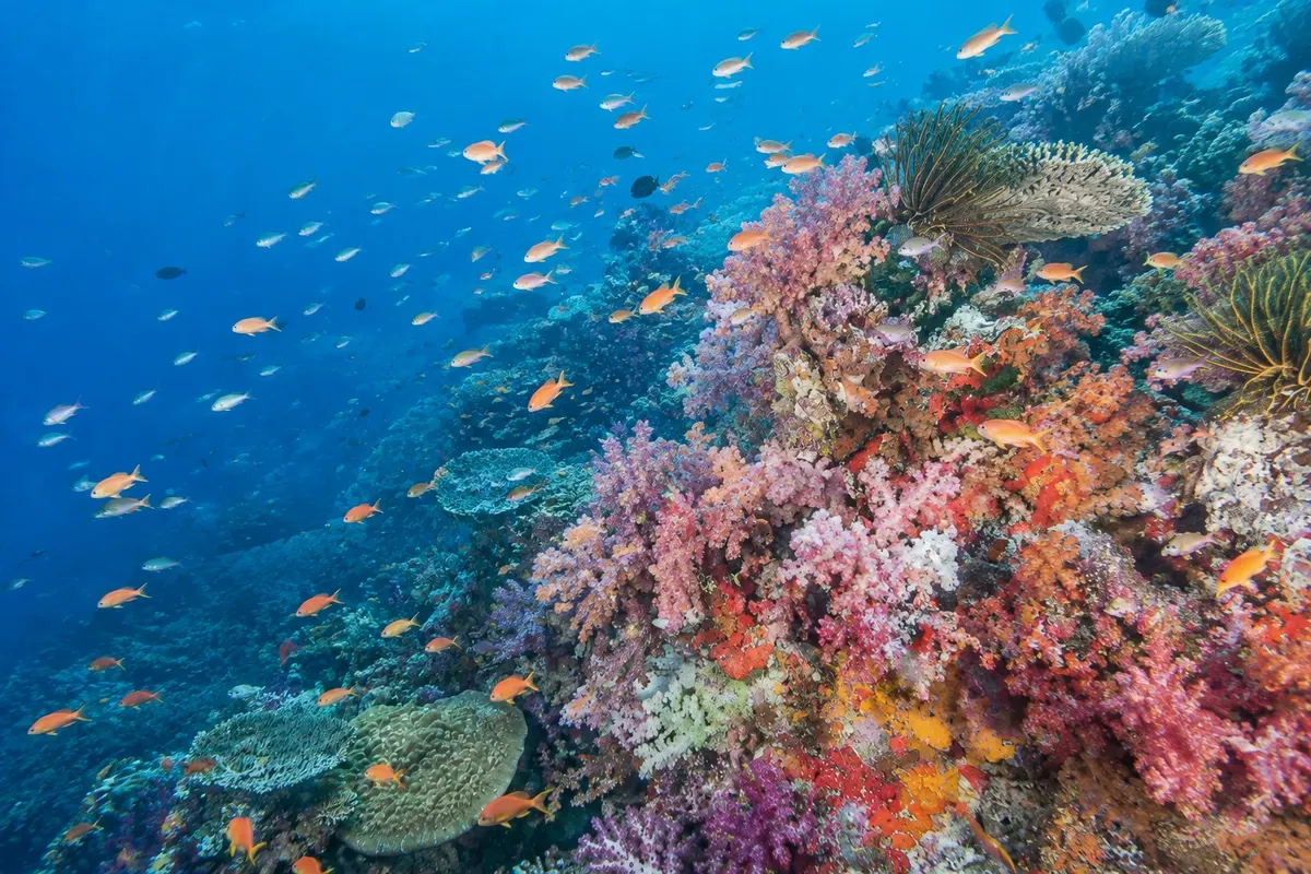
Na fotografiji: Recife Arco-Íris, Somosomo Strait

Illustrative images. The pictures in this guide are illustrations based on the real place, not photographs, and may differ from it.

Na voljo v trgovini Google Play Pošljite svoje fotografije

Spoznajte kraj

Pokrajina, ki jo doživite
v svojem ritmu.

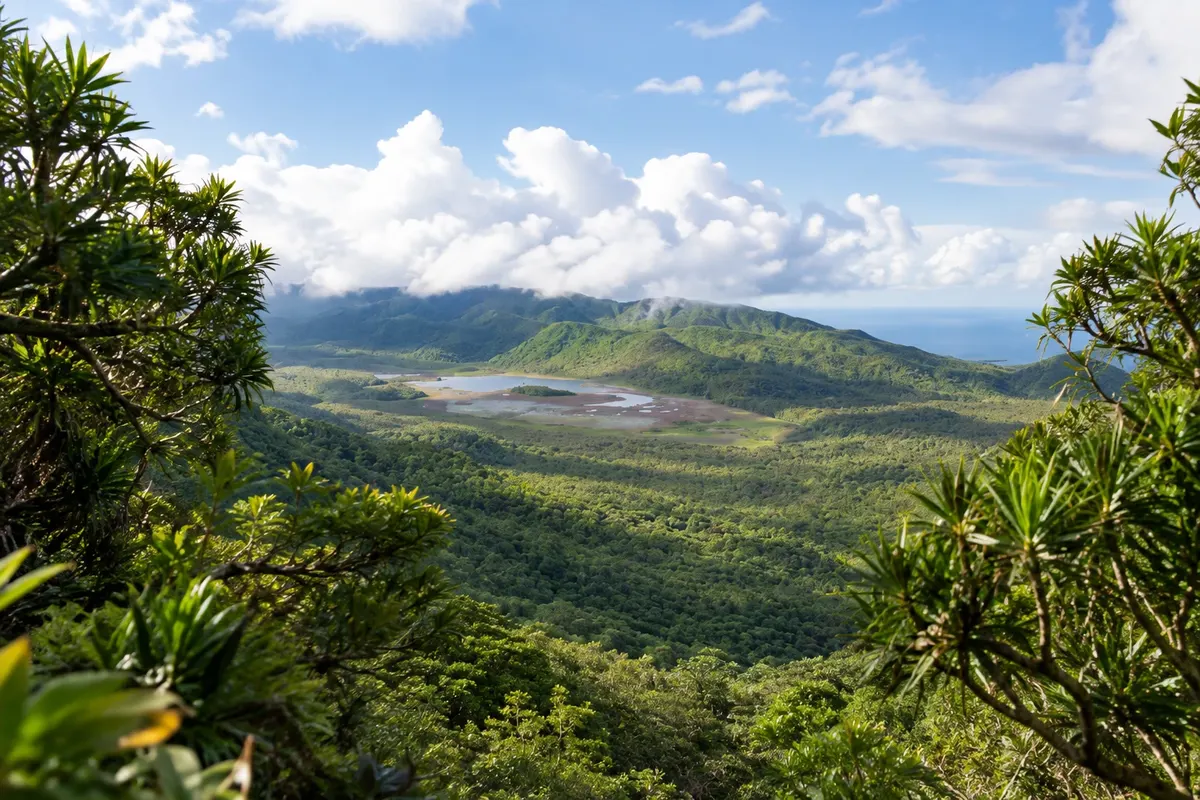
Taveuni is Fiji’s third-largest island, east of Vanua Levu, and is known as the Garden Island because of the rainforest that covers its volcanic mountains and the fertile soil of its plantations. The island is long and narrow, with a road following the west and north coasts, and much of the land is protected in Bouma National Heritage Park, with waterfalls, trails and a coast with few roads.

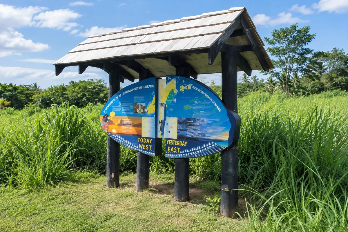
The island is crossed by the 180° meridian, the line opposite Greenwich: near Waiyevo, a marker shows the place where you can stand with one foot on each side. Fiji’s date is the same on both sides of the line because the International Date Line bends around the country.

The Somosomo Strait, between Taveuni and Vanua Levu, is one of the best-known dive spots in the South Pacific. Currents feed the soft corals of the Rainbow Reef and the Great White Wall, colorful and teeming with fish. On the other side of the strait, Savusavu is a small town on the bay of the same name in Vanua Levu, with a marina, hot springs that rise in the town center, and nearby forest and reef reserves.

The area is for those who want nature, diving and a relaxed pace. It’s reached by plane from Nadi and Suva, and the two islands are linked by boat, allowing you to combine Taveuni and Savusavu on the same trip.

This destination brings together 4 cities: Matei, Waiyevo, Bouma, Savusavu.

Delite: WhatsApp
Delite svoja popotniška doživetja s fotografijami Pošljite fotografije vsakega kraja, ki ste ga obiskali. Največje število fotografij na kraj: 5.

Ena destinacija, več poti

Mesta na tej poti

Začnite v enem mestu ali v načrt poti vključite več mest.

Taveuni and Savusavu – lega
SavusavuWaiyevoBoumaMatei

Meje: Pacific Data Hub / geoBoundaries (CC BY 4.0). Priredba: Cidade Turismo.

Kako do tja:Taveuni and Savusavu

✈ Aeroporto de Matei (Taveuni) (TVU), kraj: Matei· 1 km do cilja (Matei)

Confirm before you buy. From Nadi and from Nausori there are domestic flights to Matei, on Taveuni, and to Savusavu. There are also boats from Suva to Savusavu and Taveuni, and a boat crossing between the two islands.

Predlagana točka prihoda:Matei

Doživite kraj

Kaj početi – Taveuni and Savusavu

Tavoro Waterfalls (Tavoro Waterfalls)
Bouma · Cakaudrove · Slap

Tavoro Waterfalls (Tavoro Waterfalls)

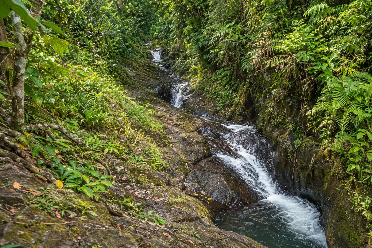
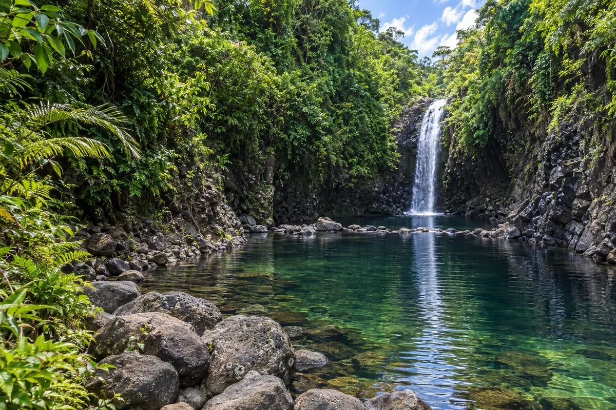
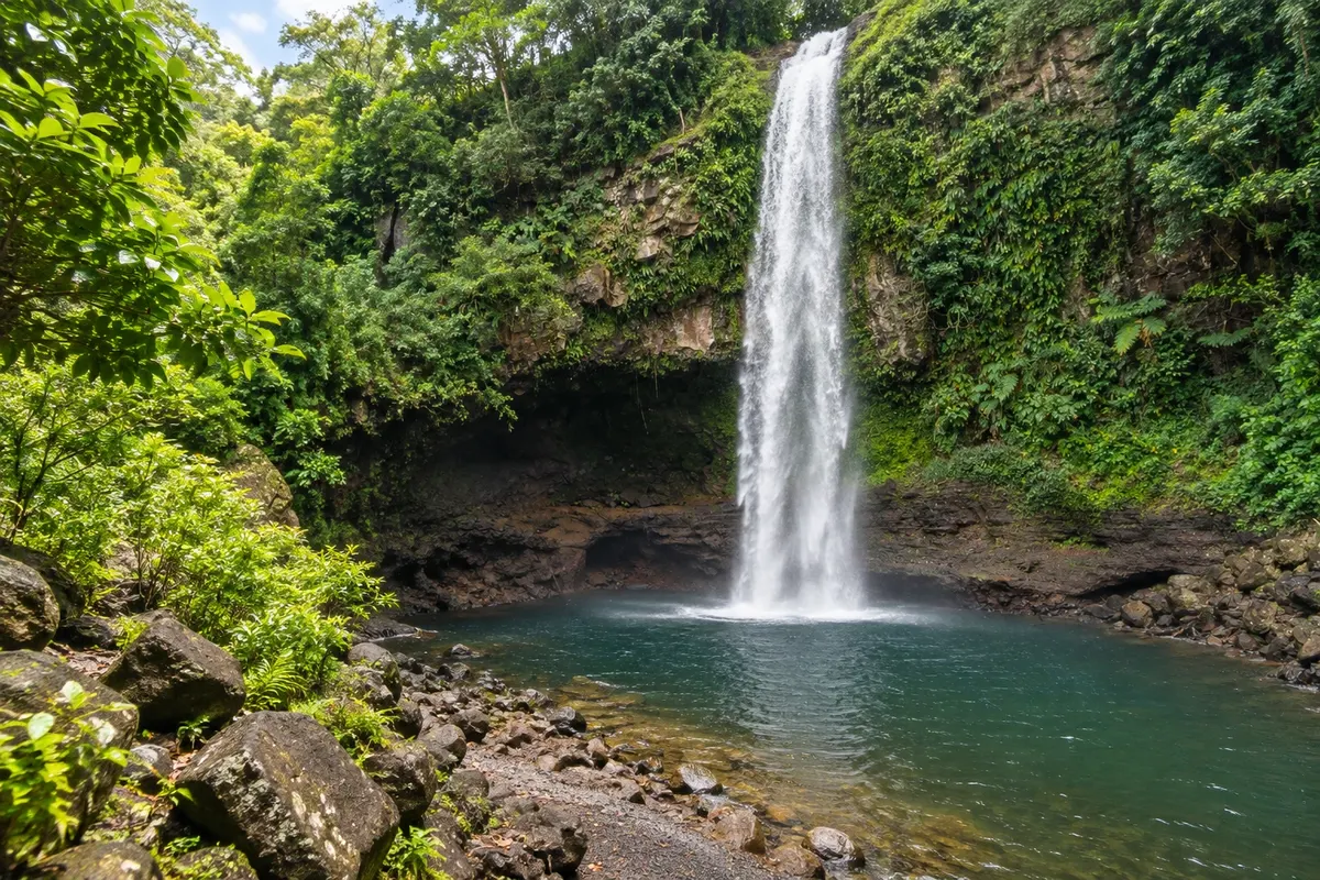
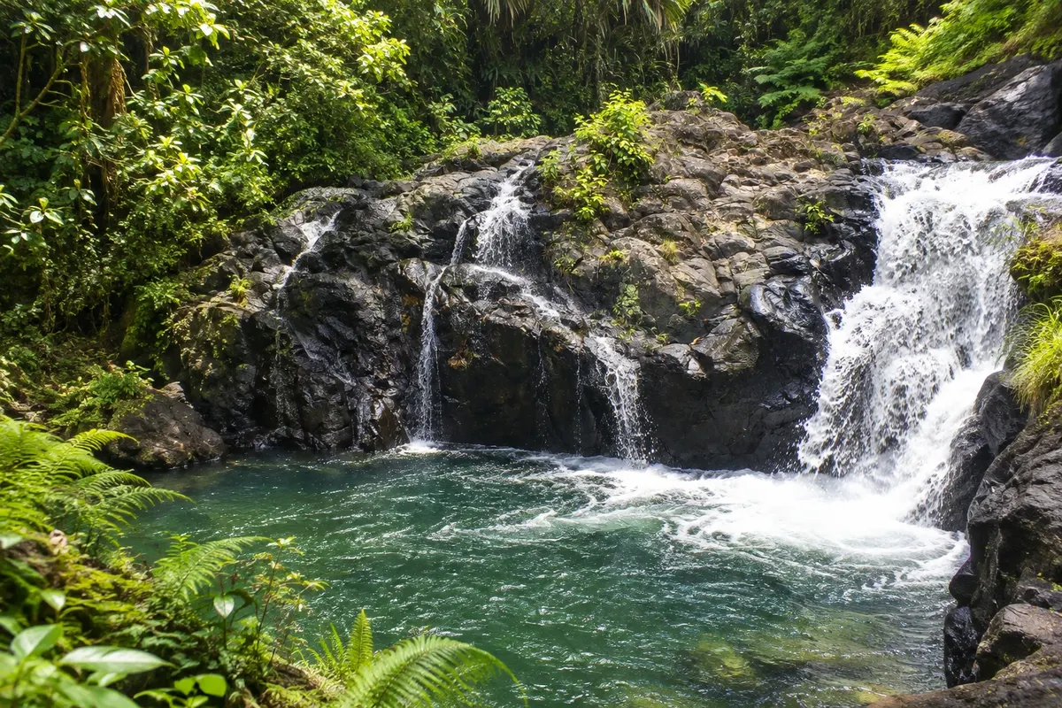
Three waterfalls in sequence in the forest of Bouma National Heritage Park, linked by trail, with pools for bathing; the first is about 10 minutes from the visitors' center.

Nakama Hot Springs (Nakama Hot Springs)
Savusavu · Cakaudrove · Hot spring

Nakama Hot Springs (Nakama Hot Springs)

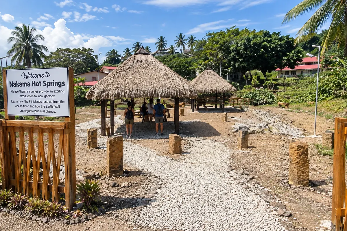
Hot springs that emerge in Savusavu’s center, near the main street, with water close to 100 °C used by locals to cook food.

180th Meridian (180th Meridian)
Waiyevo · Cakaudrove · Marker

180th Meridian (180th Meridian)

Plaque near Waiyevo at the spot where the 180° meridian passes, the line opposite Greenwich, where you can stand with one foot in the western hemisphere and the other in the eastern.

Prince Charles Beach
Matei · Cakaudrove · Plaža

Prince Charles Beach

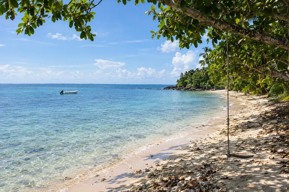
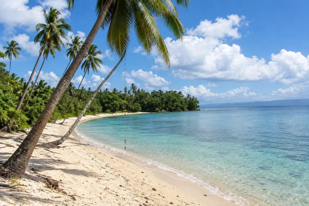
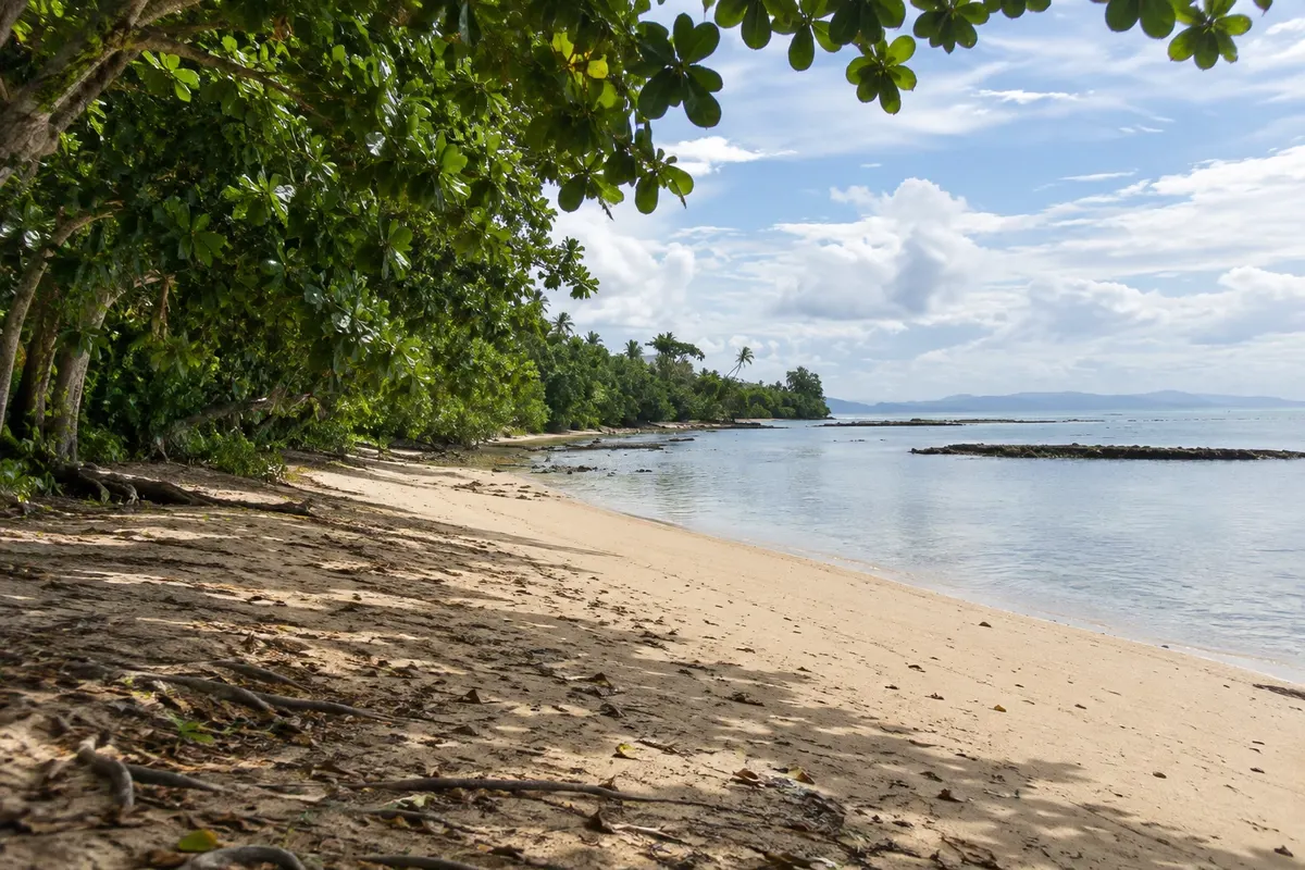
A light-sand beach lined with tropical trees, south of Matei Airport in north Taveuni. It has calm water for swimming and a reef for snorkeling close to the shore.

Taveuni and Savusavu – prikaži dodatne kraje (7)
Beverly Beach
Matei · Cakaudrove · Plaža

Beverly Beach

A small beach shaded by trees leaning over the sand, on Taveuni’s north coast near Matei. It has calm water for swimming and a reef for snorkeling.

Waisali Rainforest Reserve (Waisali Rainforest Reserve)
Savusavu · Cakaudrove · Naravni rezervat

Waisali Rainforest Reserve (Waisali Rainforest Reserve)

A reserve of about 120 hectares of tropical forest roughly 20 km from Savusavu, maintained by the National Trust, with a trail to a waterfall and native birds such as the orange dove.

Waitavala Waterslide (Waitavala Waterslide)
Waiyevo · Cakaudrove · Stream

Waitavala Waterslide (Waitavala Waterslide)

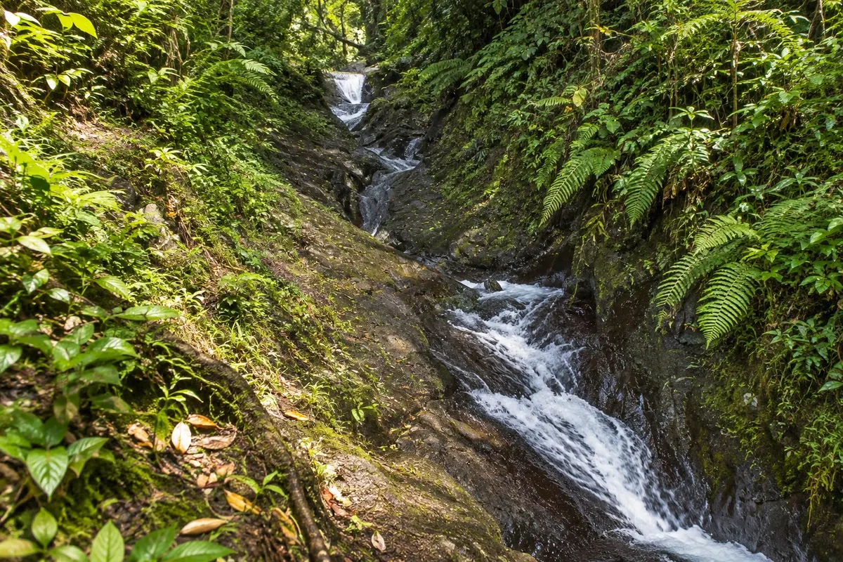
Stretch of the Waitavala River, near Waiyevo, where water runs over smooth rocks forming a natural slide of about 50 meters, used by locals and visitors.

Lavena Coastal Walk (Lavena Coastal Walk)
Bouma · Cakaudrove · Kolesarska in pešpot

Lavena Coastal Walk (Lavena Coastal Walk)

About a 5 km coastal trail on Taveuni’s east coast, starting from the village of Lavena, passing beaches, forest and cliffs, and ending at Wainibau waterfall, which is reached by swimming through a canyon.

Rainbow Reef (Rainbow Reef)
Waiyevo · Cakaudrove · Diving

Rainbow Reef (Rainbow Reef)

Reef in the Somosomo Strait, between Taveuni and Vanua Levu, known for colorful soft corals fed by the currents, with sites such as the Great White Wall.

Namena Marine Reserve (Namena Marine Reserve)
Savusavu · Cakaudrove · Diving

Namena Marine Reserve (Namena Marine Reserve)

A marine reserve around Namenalala Island, about 25 km from Savusavu, with coral reefs protected by local villages, visited on dive and snorkel trips.

Lake Tagimaucia (Lake Tagimaucia)
Waiyevo · Cakaudrove · Jezero

Lake Tagimaucia (Lake Tagimaucia)

Lake in a crater about 800 metres above sea level in the mountains of Taveuni, reached by a long muddy trail, where the tagimaucia — Fiji’s national flower — grows.

Pred odhodom

Praktične informacije

Z nekaj načrtovanja boste imeli več časa za uživanje na poti.

Kdaj se odpraviti

From May to October days are usually drier and cooler, good for hiking and diving. From November to April it is hotter, rains are heavier and it is cyclone season; the tagimaucia flower typically blooms from October to February in the mountains of Taveuni.

The seasons shown are the most usual ones; nature doesn't always follow the calendar.

Koliko dni ostati

Four to six days allow you to combine Taveuni, with the Bouma waterfalls and a dive on the Rainbow Reef, and Savusavu, with its bay and hot springs. Divers often stay for a week.

V katerem mestu prenočiti

On Taveuni, Matei, near the airport, hosts most beach accommodations and is close to Bouma; Waiyevo and Somosomo, midway along the west coast, are near the meridian, the lake trail, and the diving sites in the strait. In Savusavu, the town center and the peninsula west of town concentrate bayfront lodging and the marina.

Spoštujte kraj

Odnesite svoje odpadke, upoštevajte oznake in podprite lokalne ponudnike. V naravi upoštevajte navodila za obiskovalce.

Odgovori na vaša vprašanja

Pogosta vprašanja – Taveuni and Savusavu

Why is Taveuni called the Garden Island?

Because of the rainforest that covers the volcanic mountains and the fertile soil of the plantations. Much of the island is protected within Bouma National Heritage Park.

Does the 180° meridian really pass through Taveuni?

Yes. Near Waiyevo there is a marker at the spot where the meridian passes. The International Date Line bends around Fiji, and the date is the same on both sides.

How do you get to Taveuni?

By plane, with domestic flights from Nadi and from Nausori to Matei, or by boat from Suva and from Savusavu.

Where do you dive in Taveuni?

In the Somosomo Strait, between Taveuni and Vanua Levu, with the soft corals of the Rainbow Reef and the Great White Wall.

Is it worth including Savusavu?

It is worth it for those who want a small town on the bay, with a marina, hot springs in town, and forest and reef reserves nearby. It is a boat crossing from Taveuni.

Odkrijte druge destinacije Iskanje po zvezni državi in mestu

Več kot vodnik