Grundarfjörður
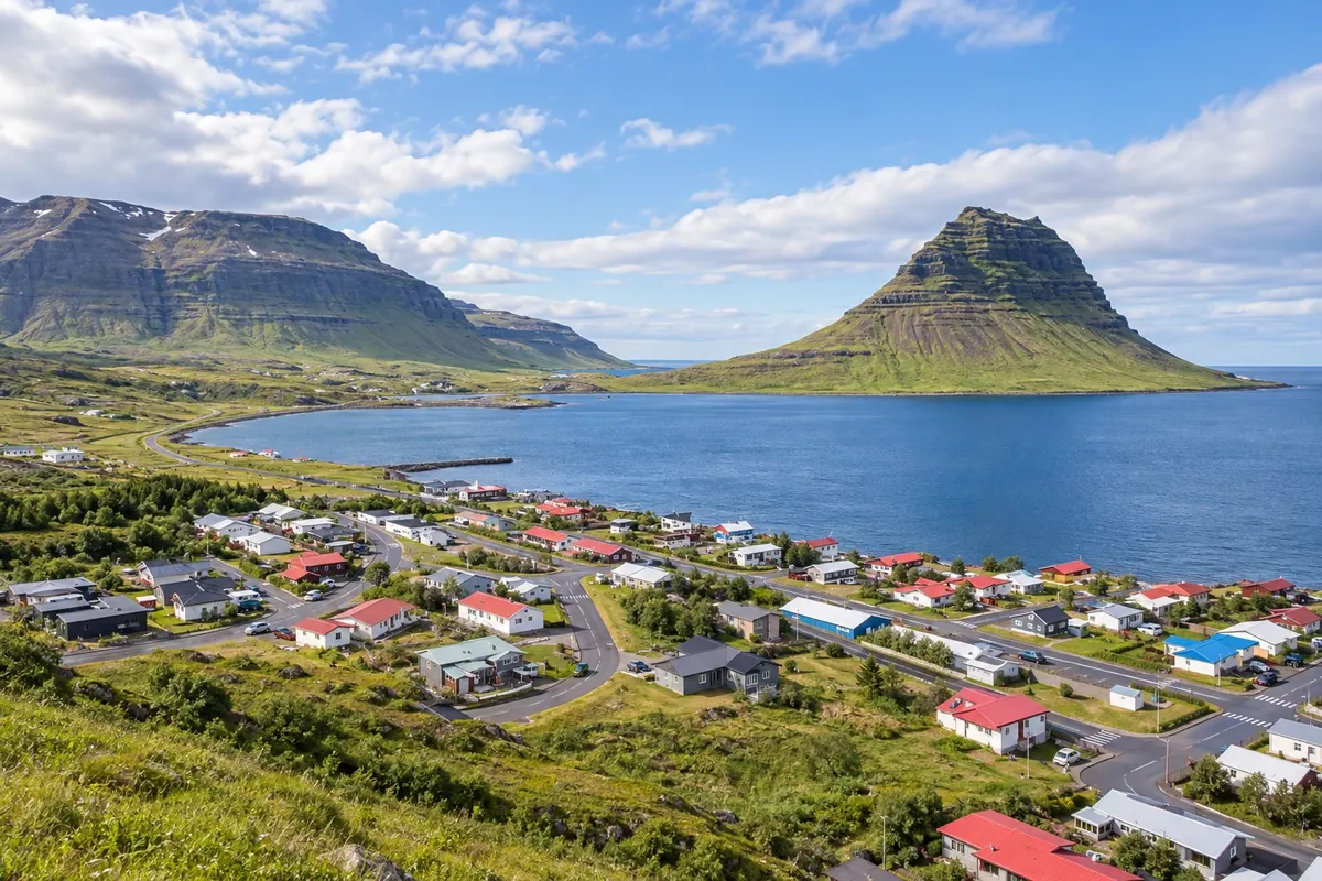
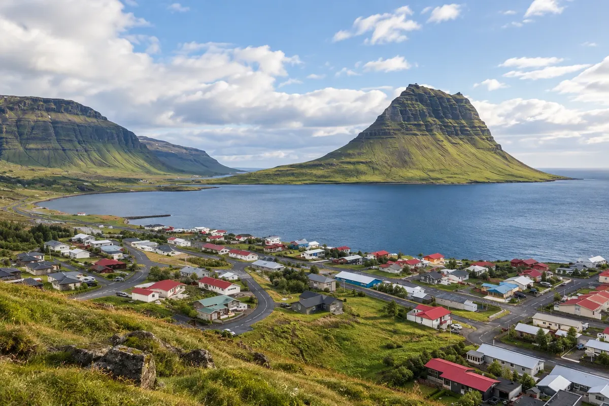
Grundarfjörður lies on the north coast of Snæfellsnes, opposite Kirkjufell. The mountain and the small waterfall Kirkjufellsfoss form the nearby outing, while the village provides support between sections of the peninsula.
Antarktika
Western Region · Islandija
Kirkjufell, basalt coast and glacial volcano in Snæfellsnes; waterfalls and hot water in the Borgarfjörður valley.
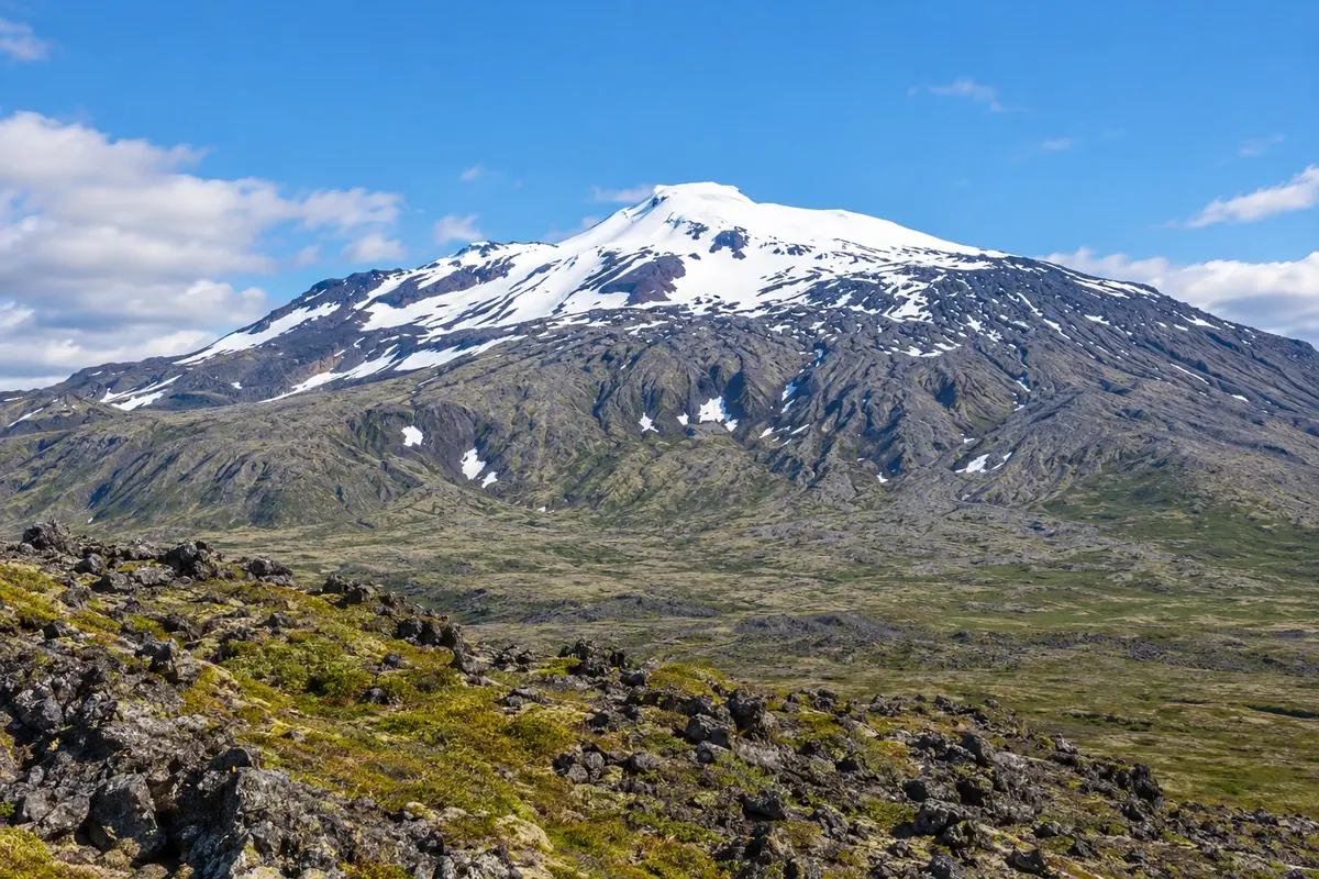
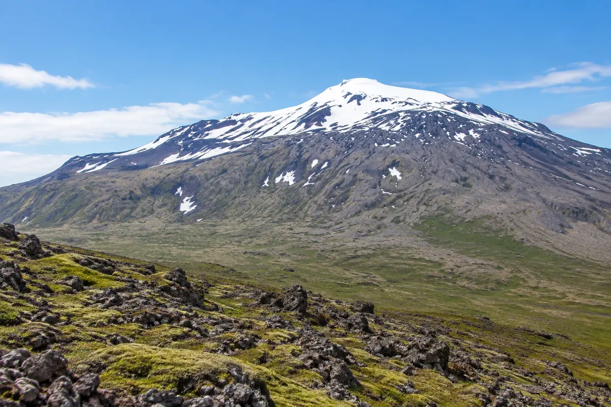
Na fotografiji: Snæfellsjökull
Illustrative images. The pictures in this guide are illustrations based on the real place, not photographs, and may differ from it.
Spoznajte kraj
Iceland’s West allows you to combine two landscape sets in one trip. Snæfellsnes juts into the Atlantic with a glacier-covered volcano at its tip. Closer to the Route 1 corridor, the Borgarfjörður valley shows rivers, lava and geothermal springs.
Grundarfjörður is the base in front of Kirkjufell. Arnarstapi brings you close to coastal paths, Búðakirkja and the circuit through Snæfellsjökull National Park, including Djúpalónssandur. Borgarnes organizes access to the Hraunfossar waterfalls and the Deildartunguhver spring.
Plan the route by bases, because seeing the whole area requires more than a photo at each spot. Connections are by road and hikes add time.
This destination brings together 3 cities: Grundarfjörður, Arnarstapi, Borgarnes.
Ena destinacija, več poti
Začnite v enem mestu ali v načrt poti vključite več mest.
Obrisi: National Land Survey of Iceland, via geoBoundaries (CC BY 4.0). Priredba: Cidade Turismo.
Confirm before booking. From Keflavík, follow the road via Reykjavík and Borgarnes to the peninsula.
Predlagana točka prihoda:Grundarfjörður
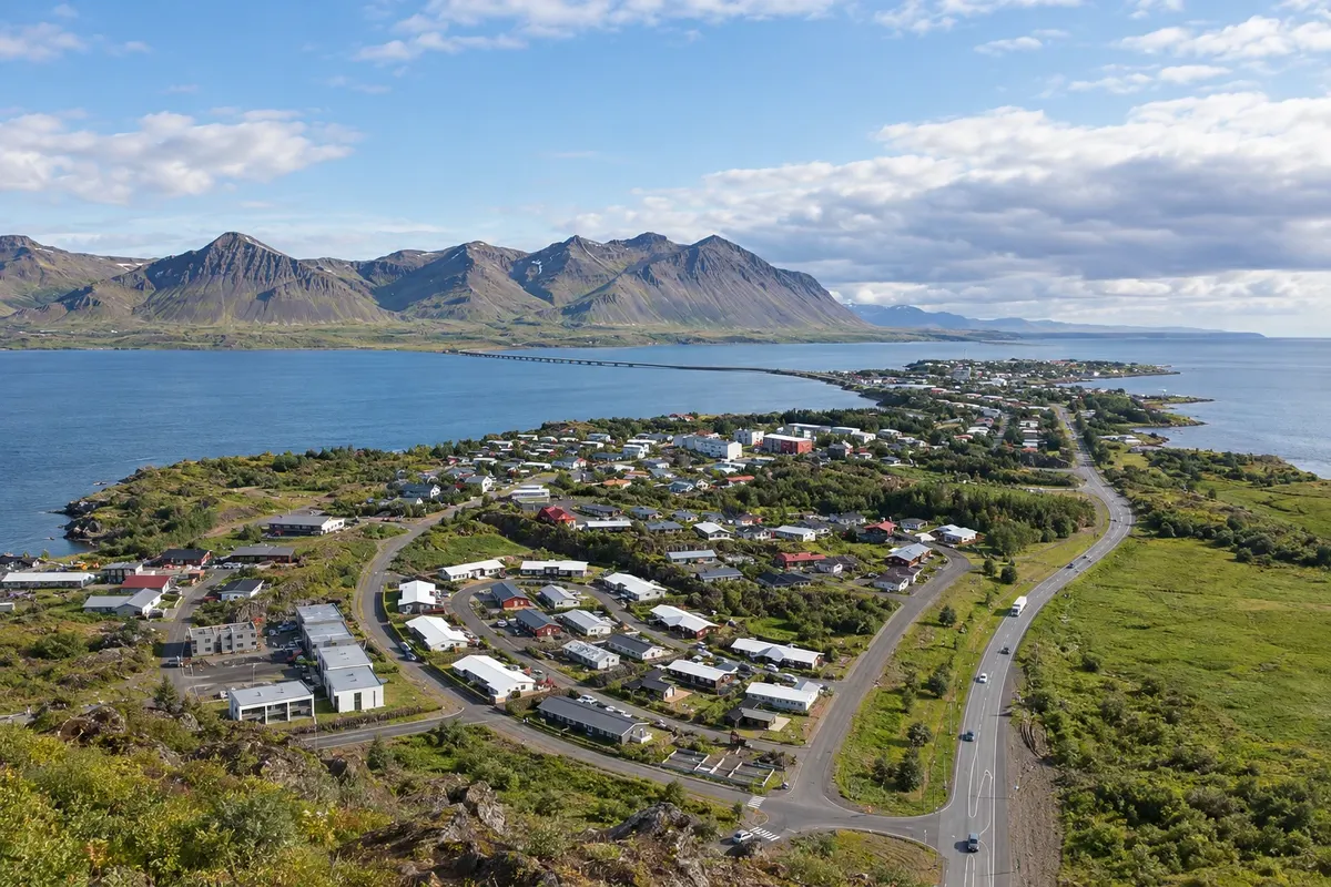
Grundarfjörður lies on the north coast of Snæfellsnes, opposite Kirkjufell. The mountain and the small waterfall Kirkjufellsfoss form the nearby outing, while the village provides support between sections of the peninsula.
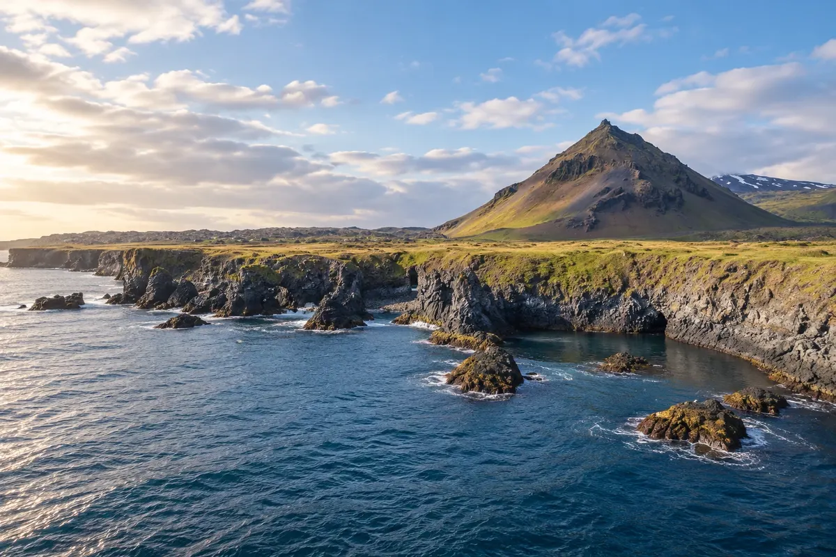
Arnarstapi occupies a basalt coastal stretch on the south of Snæfellsnes. The village coast, Búðakirkja, Djúpalónssandur and the land sectors of Snæfellsjökull can be split into days of sightseeing and hiking.
Borgarnes is on the corridor between Reykjavík and the West. The town serves as a base for entering the Borgarfjörður valley, where Hraunfossar, Barnafoss and Deildartunguhver allow comparison of river water and geothermal activity.
Doživite kraj
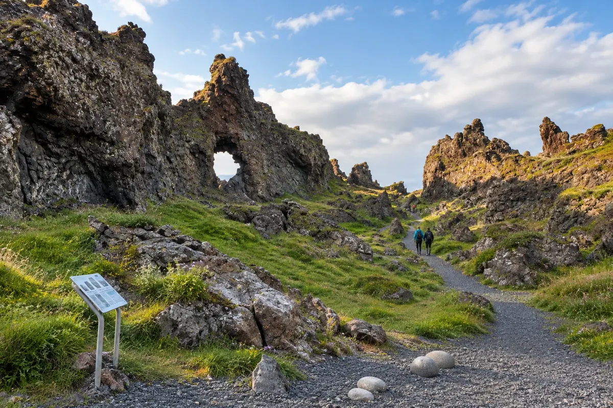
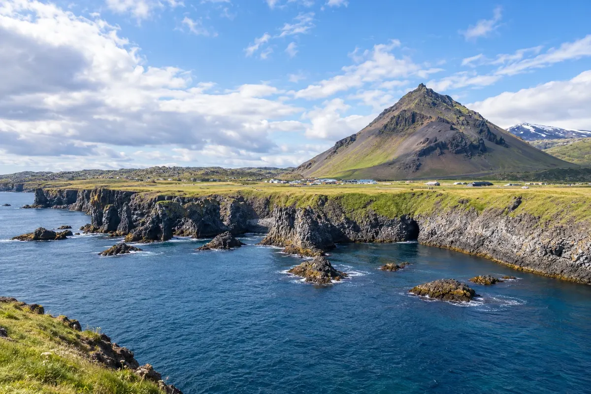
Basalt coast with arches, small coves and trails along the cliffs.
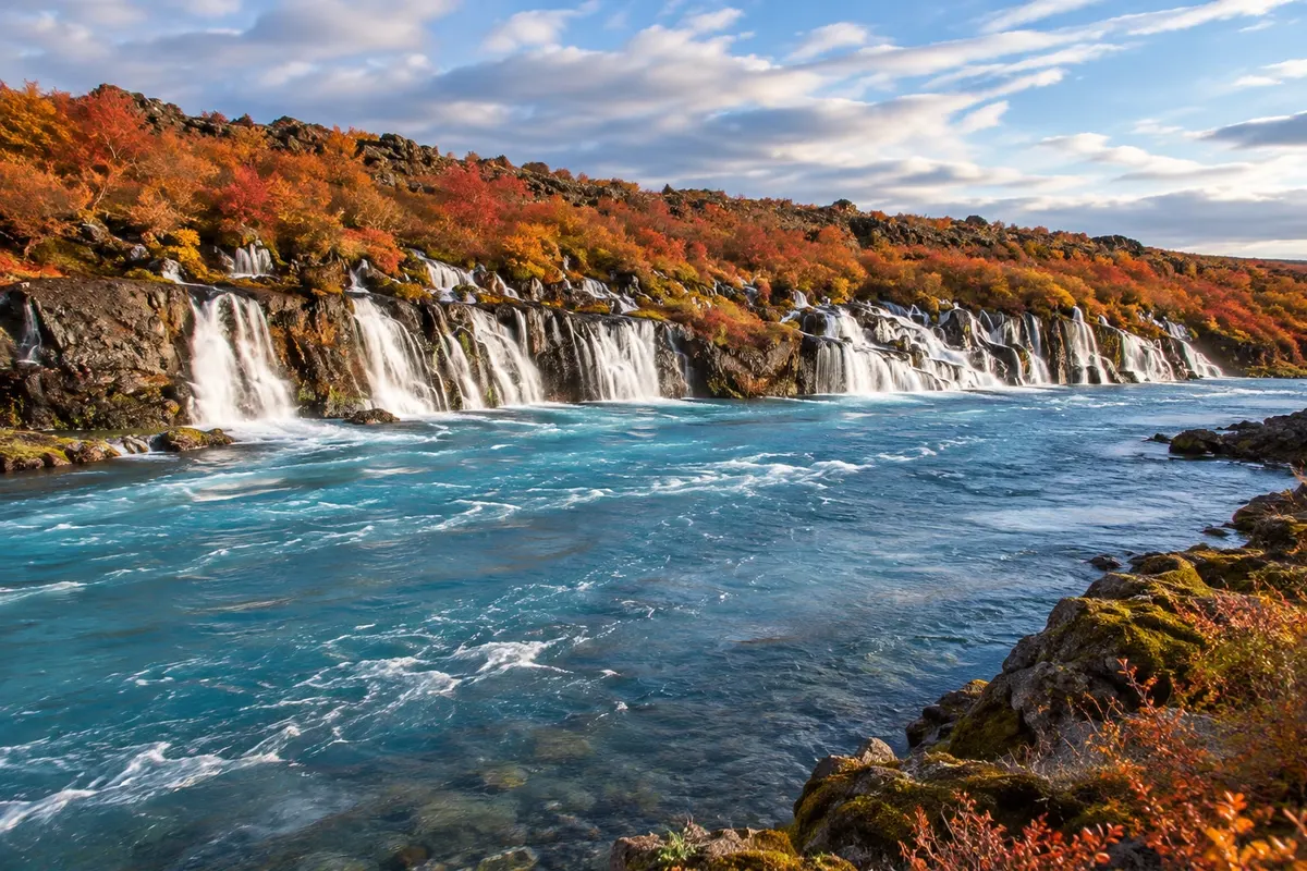
A series of small falls that emerge from the edge of a lava field and reach the river Hvítá.
Layered mountain exposed on the edge of a fjord, viewed alongside the small waterfall Kirkjufellsfoss.
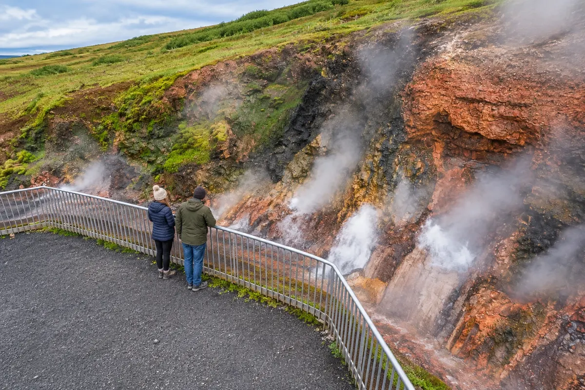
Geothermal spring in the Borgarfjörður valley, linked to the use of hot water in the region.
Dark pebble beach with rock formations and remains related to navigation and fishing.
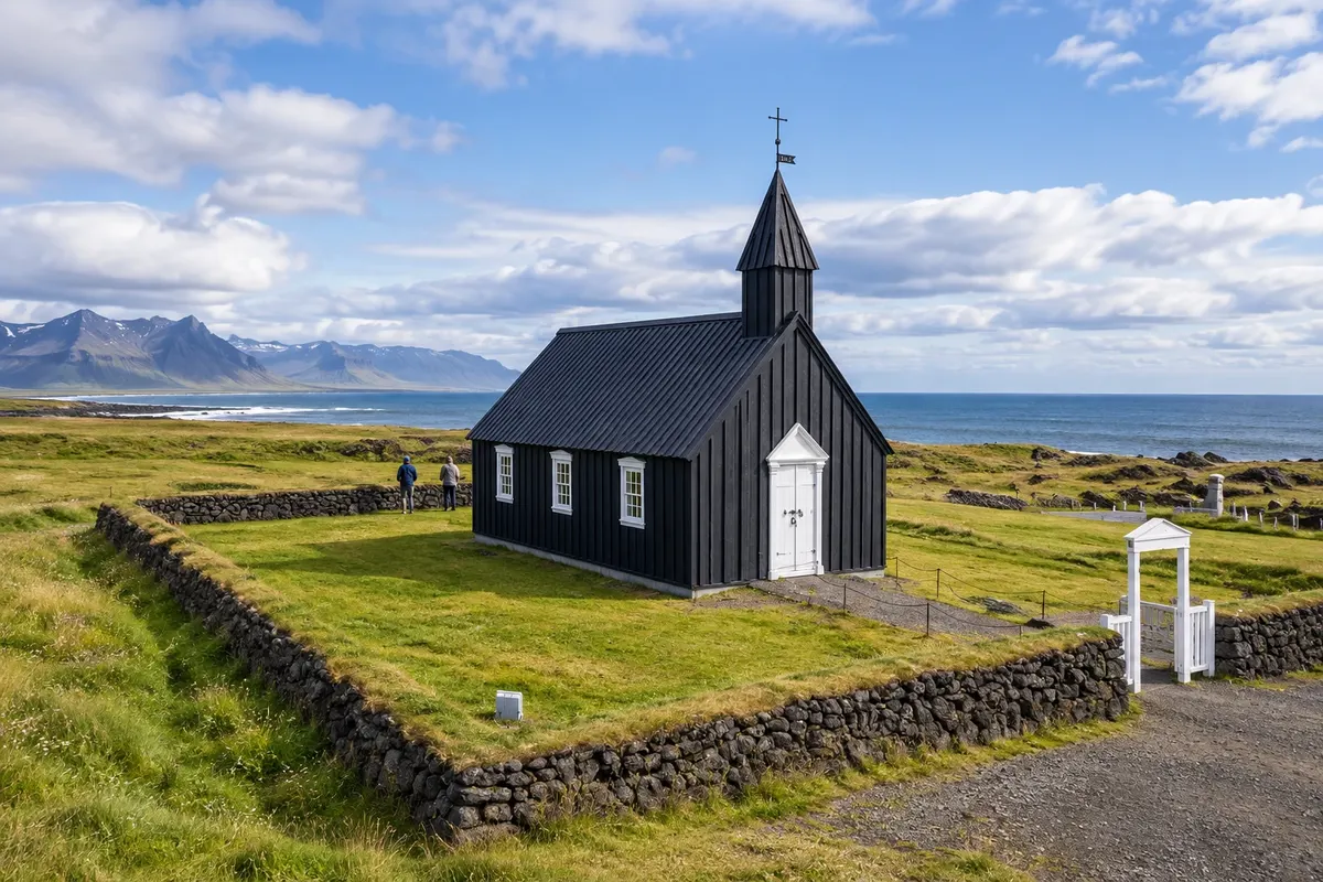
Small dark-wood church set among lava fields, vegetation and the coast.
Volcano-and-glacier landscape at the tip of Snæfellsnes, with lava coastline and support centers.
Pred odhodom
Z nekaj načrtovanja boste imeli več časa za uživanje na poti.
June to August usually offers more light for driving and hiking. December to February calls for shorter stages, with cold, rain and short days.
The seasons shown are the most usual ones; nature doesn't always follow the calendar.
Four to five days allow combining the peninsula with the Borgarfjörður valley, without returning to Reykjavík each day.
Grundarfjörður favors Kirkjufell and the northern coast. Arnarstapi brings you close to the southern shore and the park. Borgarnes is a practical base for the valley and to split the journey from the capital.
Odnesite svoje odpadke, upoštevajte oznake in podprite lokalne ponudnike. V naravi upoštevajte navodila za obiskovalce.
Odgovori na vaša vprašanja
A one-day circuit shows part of the peninsula; hikes and the Borgarfjörður valley require additional nights.
The visit can focus on the coast and the park’s land trails.
It lies in the access corridor, also serving the Borgarfjörður valley.
Grundarfjörður brings you close to the mountain and waterfall viewpoints.
Več kot vodnik