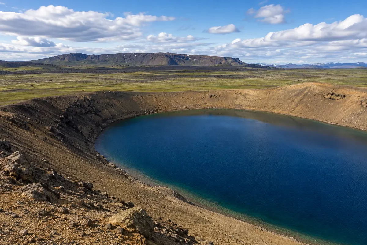
Akureyri
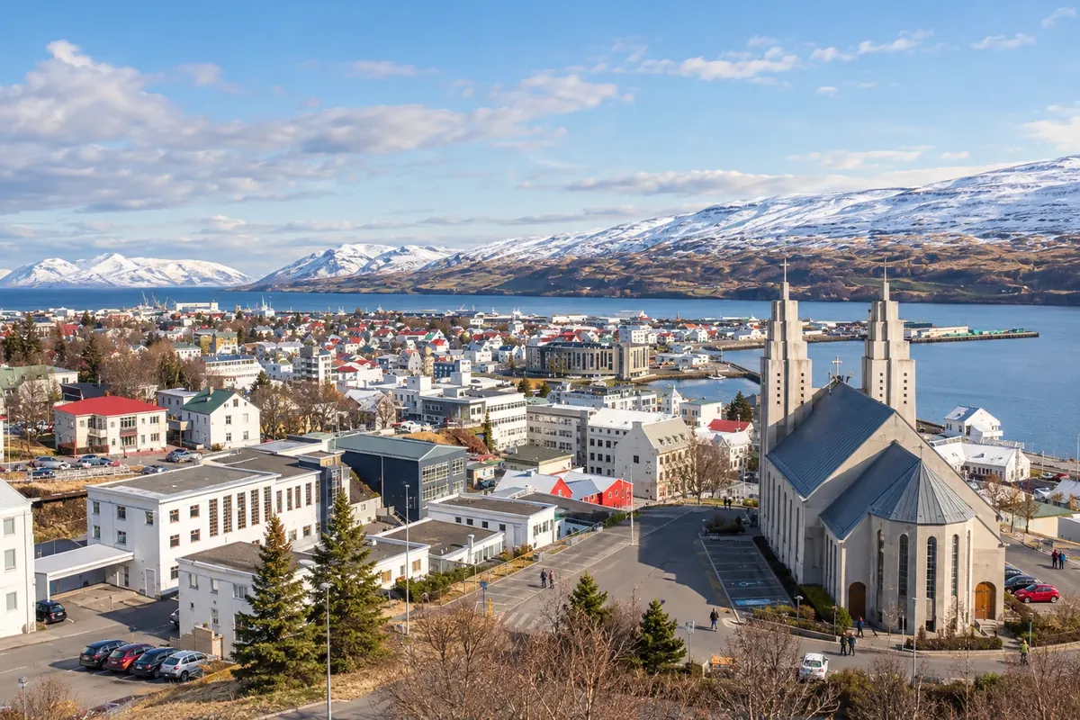
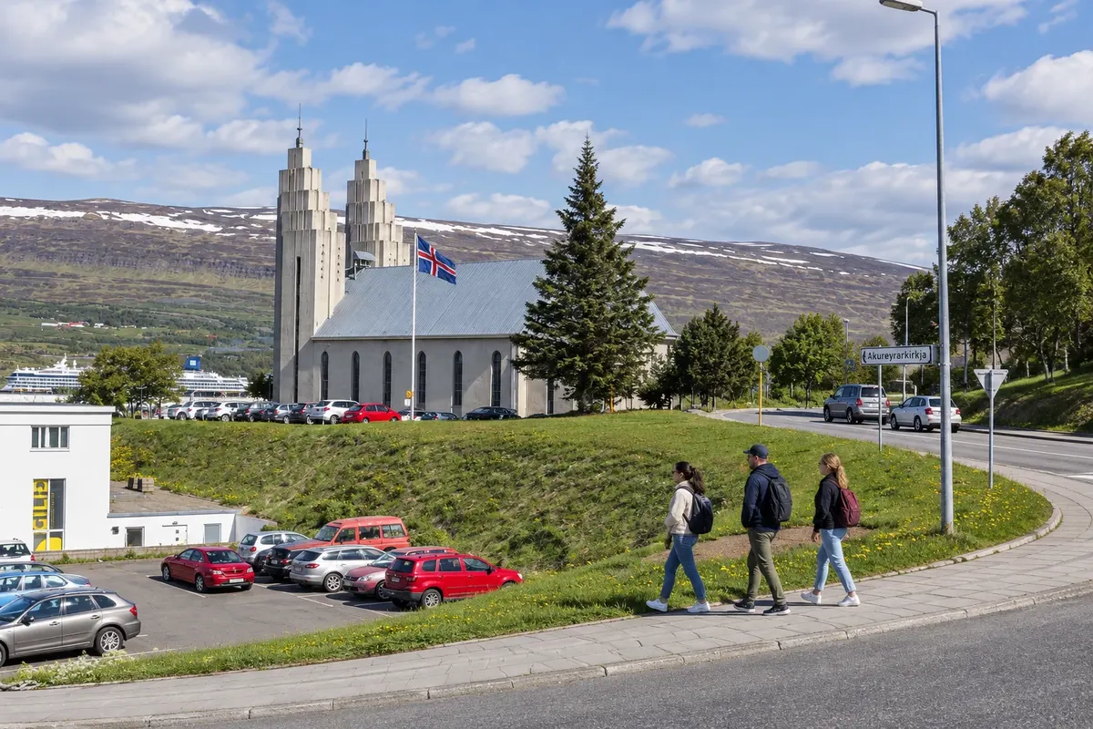
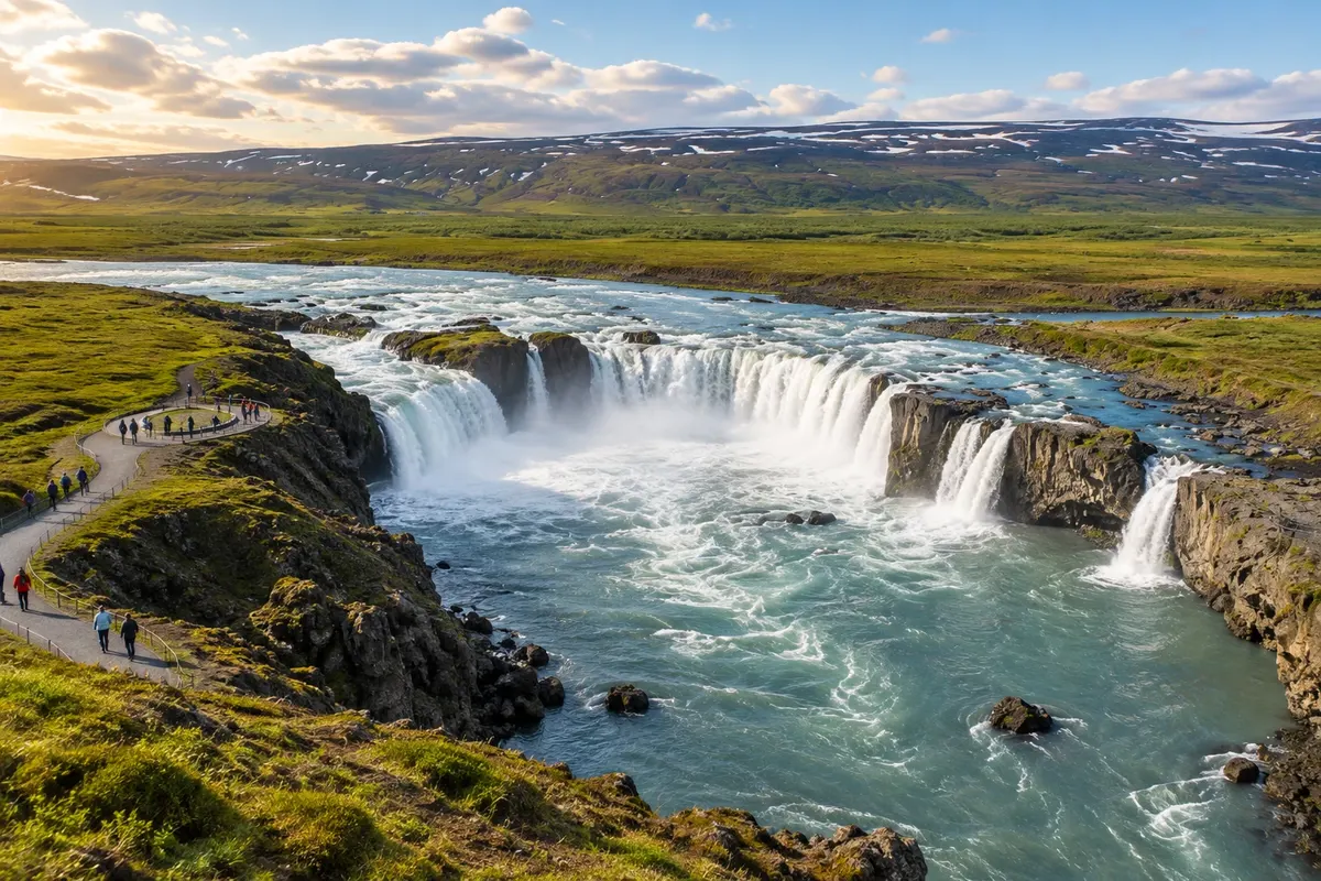
Akureyri sits on the shore of the Eyjafjörður fjord and provides services to explore the North. The botanical garden and Akureyrarkirkja fit into an urban day; Goðafoss can be included on the route toward Mývatn.
Antarktika
Northeastern Region · Northwestern Region · Islandija
Inhabited fjords, a volcanic lake, canyons, waterfalls and turf houses across four northern bases.
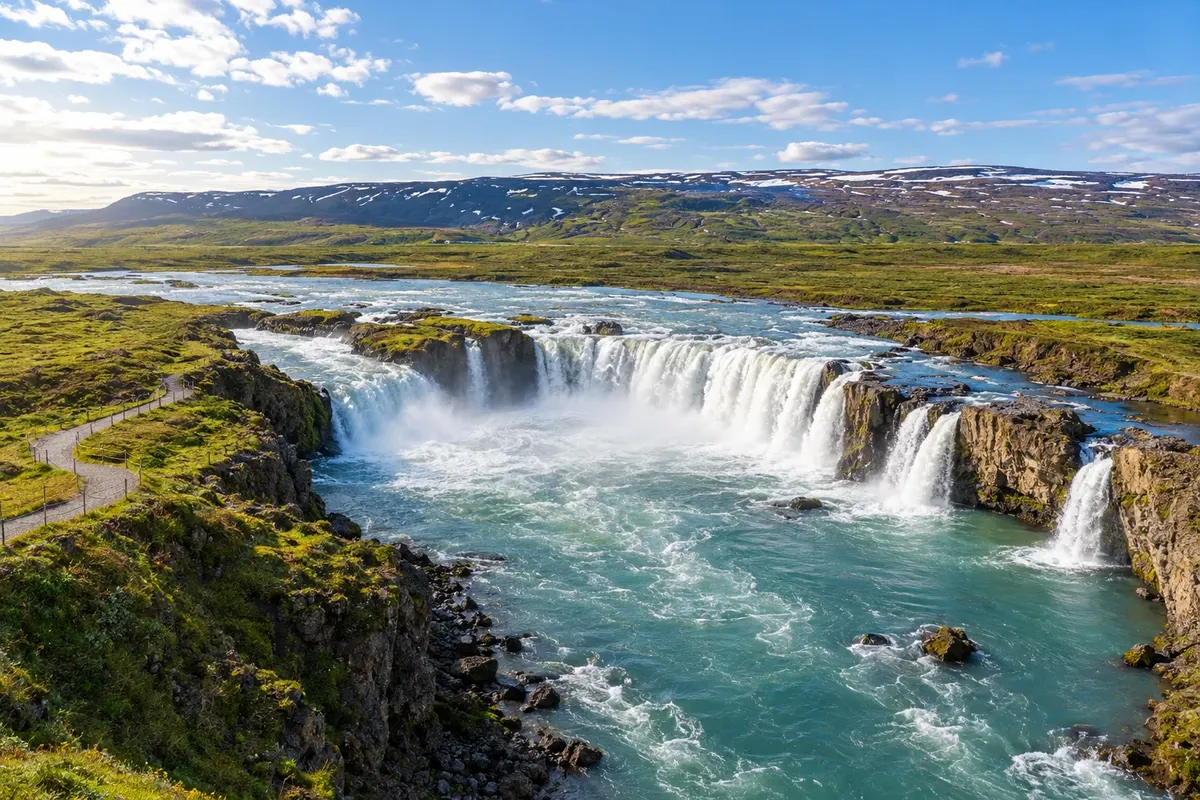
Na fotografiji: Goðafoss waterfall, an impressive cascade
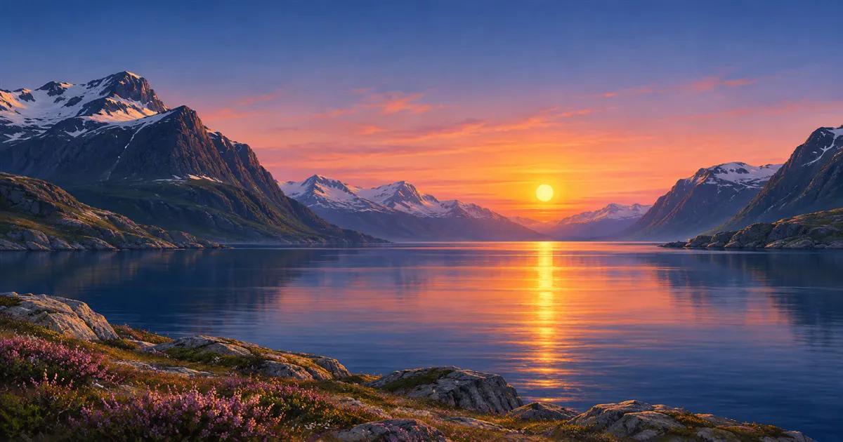
Illustrative images. The pictures in this guide are illustrations based on the real place, not photographs, and may differ from it.
Spoznajte kraj
North Iceland gathers landscapes that call for different bases. Akureyri organizes arrivals and the urban side by the fjord. Reykjahlíð brings you closer to Mývatn and its volcanic fields. Húsavík serves the boat departures and access to the Ásbyrgi canyon. Sauðárkrókur adds the Skagafjörður valley and the Northwest.
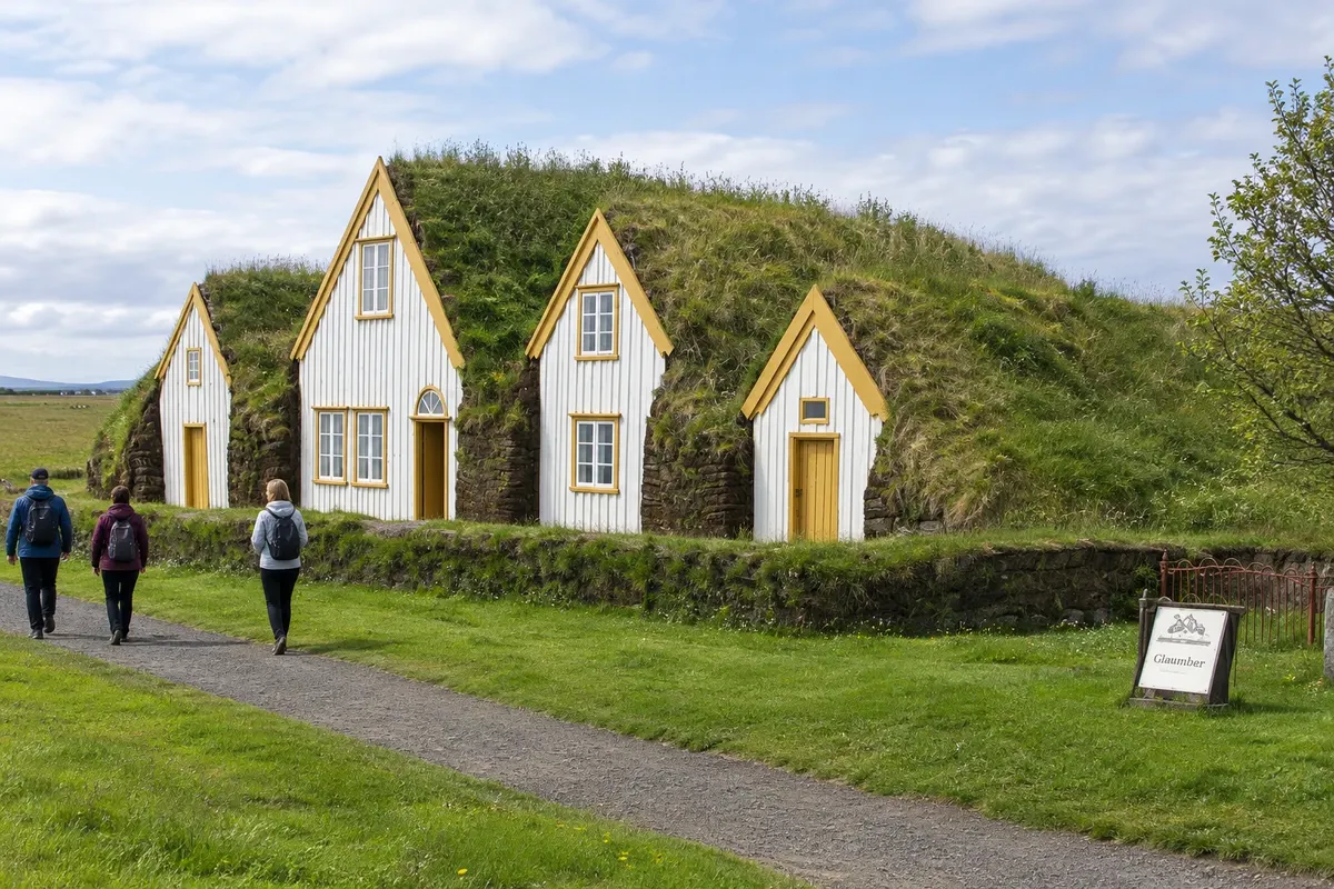
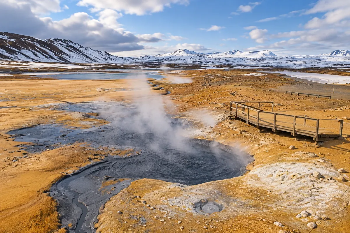
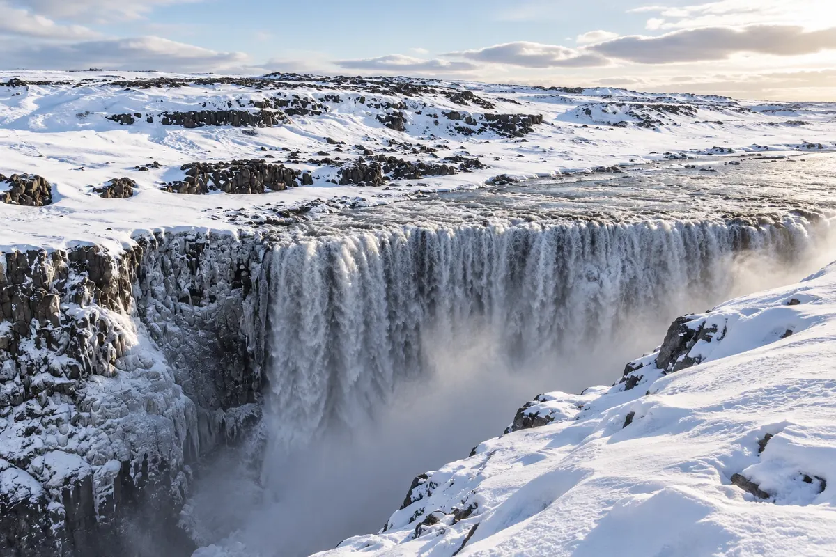
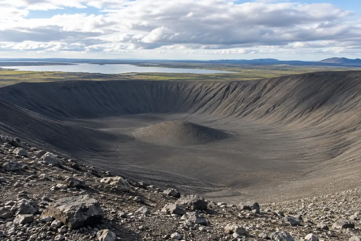
Goðafoss sits on the corridor between Akureyri and Mývatn. Near the lake, Dimmuborgir, Hverfjall, Hverir and Krafla show distinct types of volcanic activity. Dettifoss occupies a canyon sector of the national park. In a different kind of visit, Glaumbær features turf houses, while Hvítserkur marks a coastal detour via Vatnsnes.
The Diamond Circle connects some of these points, but it does not eliminate driving and walking times. whale watching depends on departures and sea conditions, with a wide season in Húsavík that typically concentrates from May to September.
This destination brings together 4 cities: Akureyri, Reykjahlíð, Húsavík, Sauðárkrókur.
Ena destinacija, več poti
Začnite v enem mestu ali v načrt poti vključite več mest.
Obrisi: National Land Survey of Iceland, via geoBoundaries (CC BY 4.0). Priredba: Cidade Turismo.
Confirm before purchasing. Akureyri has a domestic airport and road access via Route 1; travel between bases is by road.
Predlagana točka prihoda:Akureyri
Akureyri sits on the shore of the Eyjafjörður fjord and provides services to explore the North. The botanical garden and Akureyrarkirkja fit into an urban day; Goðafoss can be included on the route toward Mývatn.
Reykjahlíð is the service base by Mývatn. The lake, Dimmuborgir, Hverfjall, Hverir and Krafla display distinct volcanic forms. Dettifoss requires its own road trip, with a prior choice of which bank to visit.
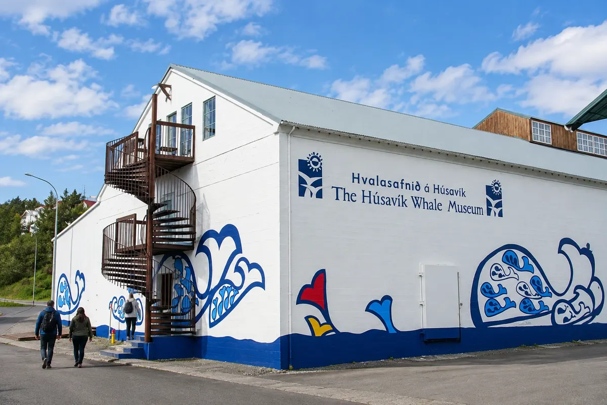
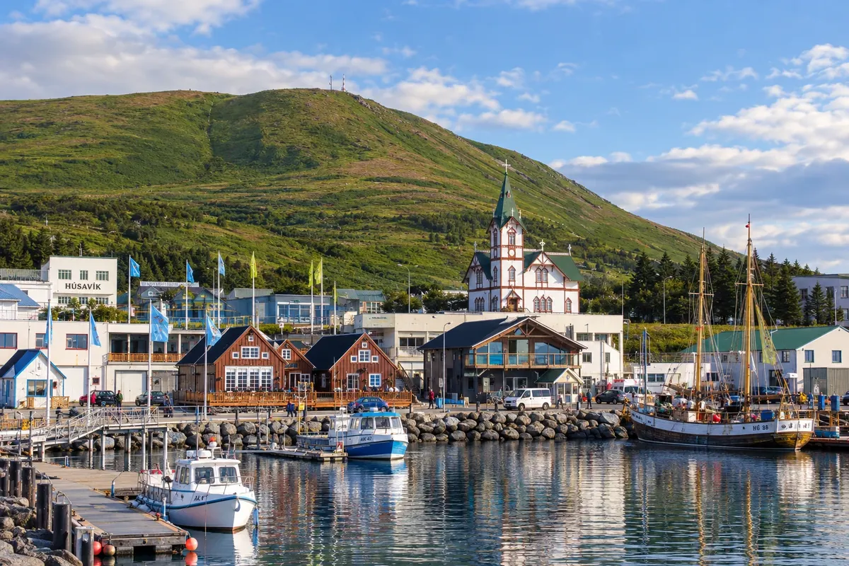
Húsavík lies on the bay of Skjálfandi and is known for whale-watching departures. The museum dedicated to cetaceans complements the harbor, and Ásbyrgi offers a land-based excursion on another day.
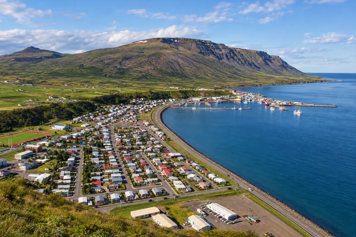
Sauðárkrókur provides a base in the Skagafjörður valley in the Northwest. Glaumbær features turf houses south of the town; Hvítserkur requires a longer circuit toward the Vatnsnes peninsula.
Doživite kraj
A group of turf houses that showcases traditional forms of dwelling in the Skagafjörður valley.
Museum dedicated to whales, with information about species and the relationship between cetaceans and the Icelandic sea.
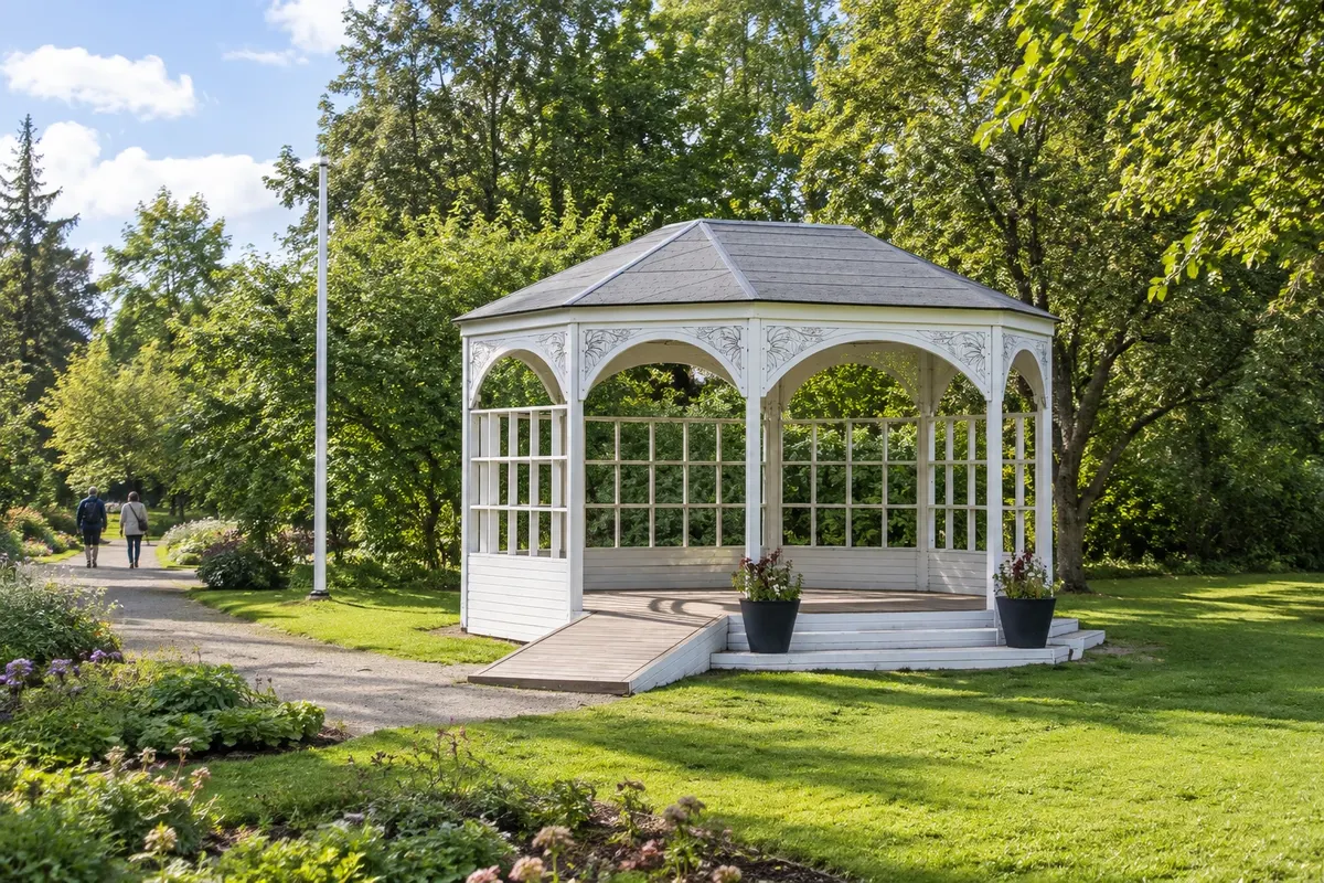
Garden with Icelandic plants and cultivated species, in an area of paths and flowerbeds above the center.
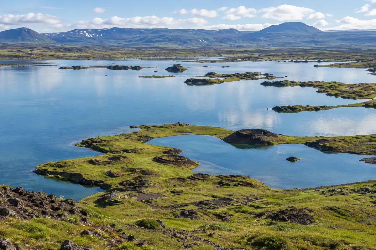
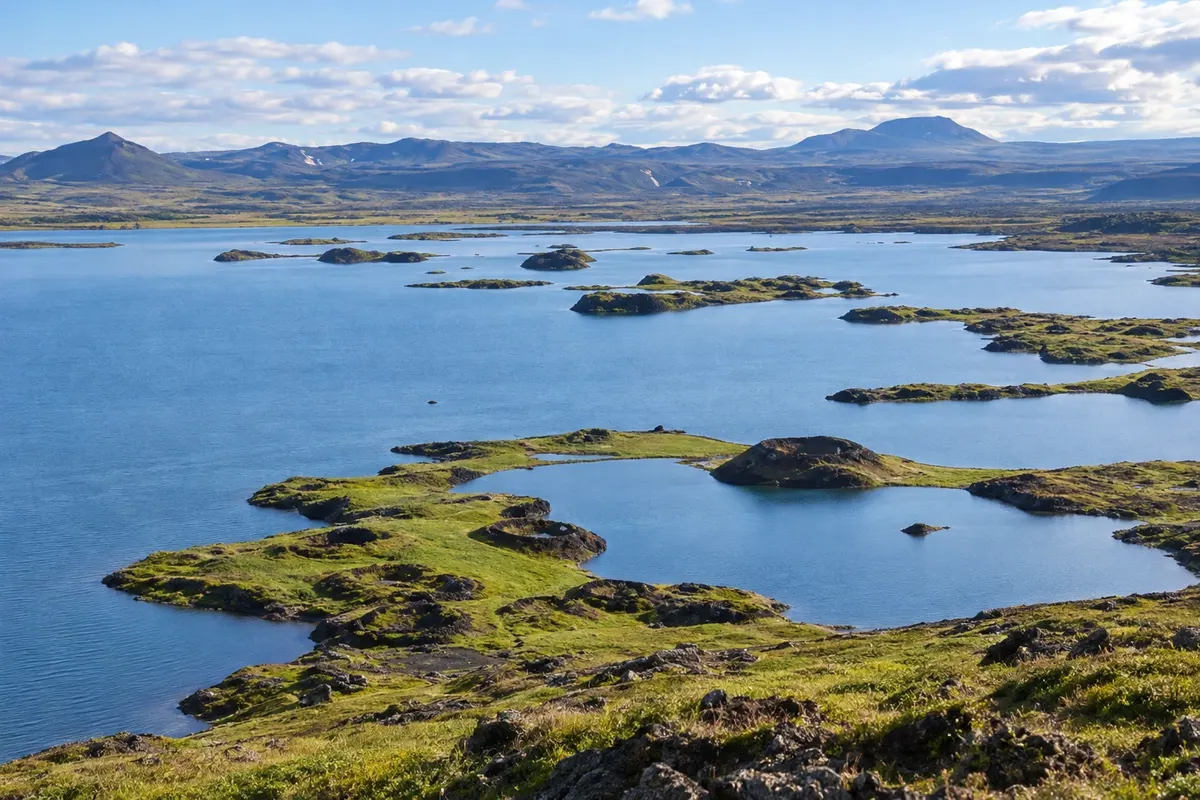
A volcanic-landscape lake, with bird areas, islets and pseudocraters in the surroundings.
Church with symmetrical towers above a staircase, positioned high above the town center and the fjord.
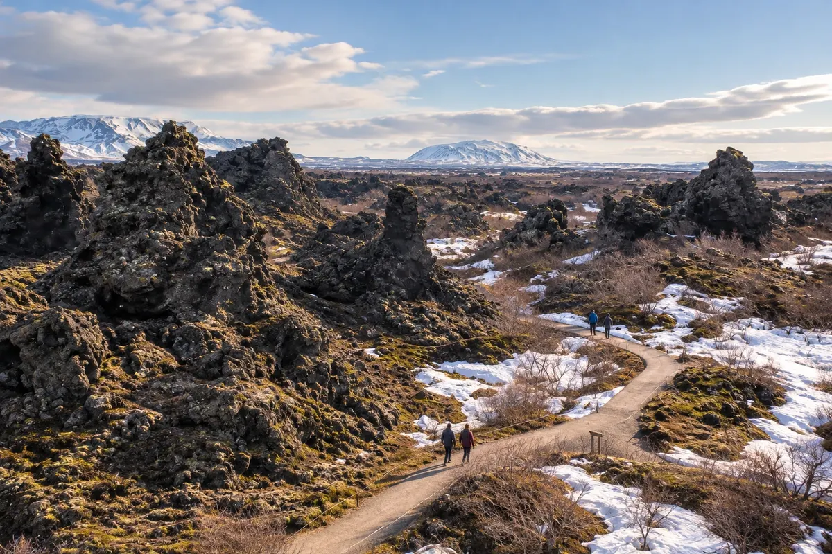
Lava formations with pillars, openings and paths between dark rock and vegetation.
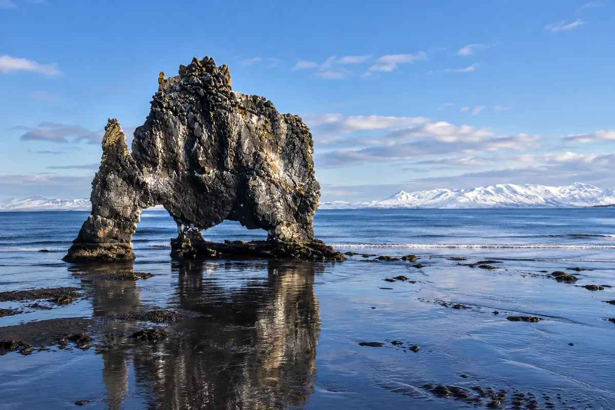
An isolated rock with openings at its base, off the Vatnsnes coast.
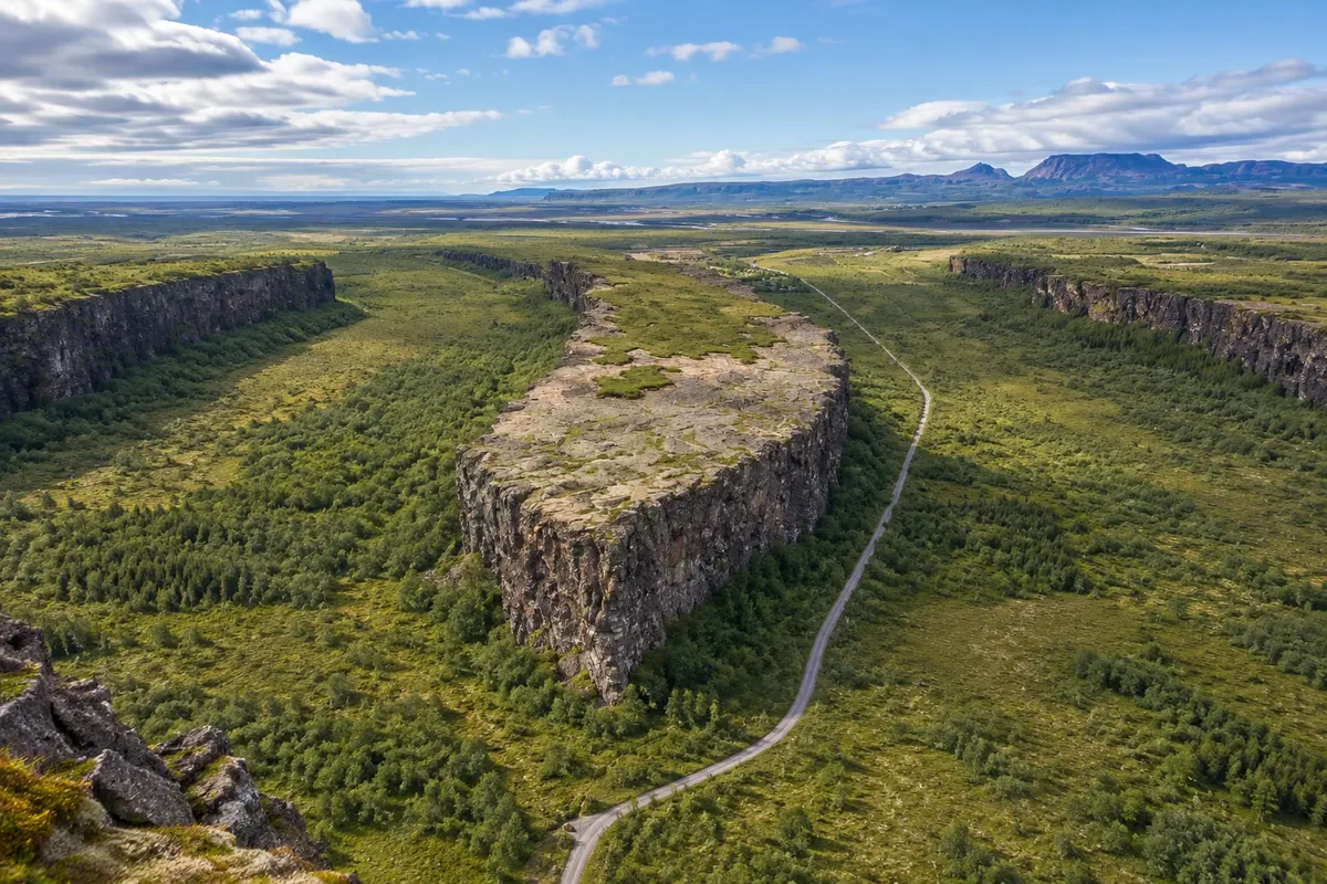
Horseshoe-shaped depression with rocky walls, vegetation and trails on the valley floor.
A wide drop of the Skjálfandafljót river, with viewing paths on both banks.
Mud and steam field at the foot of Námafjall, with mineral colors on open ground.
Fall of the Jökulsá á Fjöllum river in a canyon of Vatnajökull National Park.
Cone of dark volcanic material with a circular crater, above the eastern shore of Mývatn.
Volcanic area north of Mývatn with a crater, lava fields and geothermal landscape.
Pred odhodom
Z nekaj načrtovanja boste imeli več časa za uživanje na poti.
June through August usually offer more daylight and broad operation of tours. From December to February, short days and cold call for smaller circuits and confirmation of road conditions.
The seasons shown are the most usual ones; nature doesn't always follow the calendar.
Seven to nine days allow combining the four bases. For a short visit, choose the Diamond Circle and leave the Northwest detours for another trip.
Akureyri concentrates urban services. Reykjahlíð reduces transfers around Mývatn. Húsavík brings you closer to departures from the harbor. Sauðárkrókur splits the route through the Northwest; choose nights according to the stops of interest.
Odnesite svoje odpadke, upoštevajte oznake in podprite lokalne ponudnike. V naravi upoštevajte navodila za obiskovalce.
Odgovori na vaša vprašanja
Some tours, yes; changing base reduces returns to the Mývatn, Húsavík and Northwest sectors.
No. It is a circuit around waterfalls, Mývatn, Ásbyrgi and Húsavík, within a larger region.
Encounters vary; arrange the departure according to the operating months and sea conditions.
Glaumbær is in Skagafjörður and fits better into the Sauðárkrókur stage.
Več kot vodnik