Loen Skylift
Odhod: Loen The lower station is on the fjord shore, in central Loen, a few minutes away From during the day to 2 hours on the plateau during the day depending on the route chosen
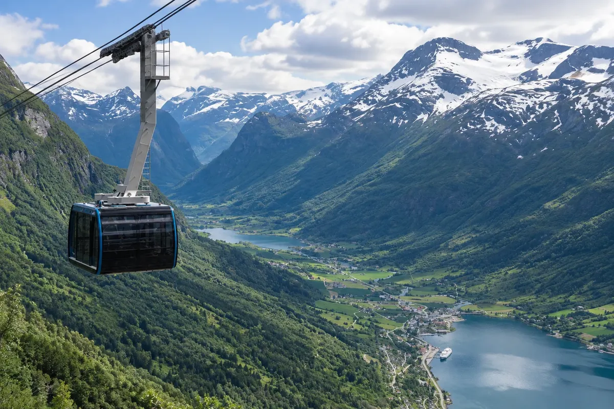
The Loen Skylift is a cable car that leaves from the fjord edge in Loen and climbs almost straight up the slope to the top of Mount Hoven, at about 1,011 meters. The ride takes only a few minutes, on a steep incline, and the cabin passes the rock face with the fjord growing ever more distant below.
At the top, the Hoven building houses a restaurant, café and a panoramic terrace with views over the Nordfjord, the villages of Loen and Olden, the valleys rising toward the glaciers and, on clear days, the mountains of the Jostedalsbreen plateau. Platforms and paths lead to viewpoints around the summit.
Kraji na poti: Loen Skylift.
Vključuje: Arrange access to the site and transport separately. Guided activities and tickets have their own conditions.
Nasvet: Bring a jacket: up high it is usually much colder than at the fjord. If you like walking, take the cable car up and do one of the plateau trails before descending.
Najboljši čas za obisk: On a clear day, at any time of year
Lovatnet
Odhod: Loen the road leaves the center of Loen and follows the Lodalen valley along the lake shore 2 to 4 hours to travel the valley to Kjenndalsbreen, with stops. during the day depending on the route chosen
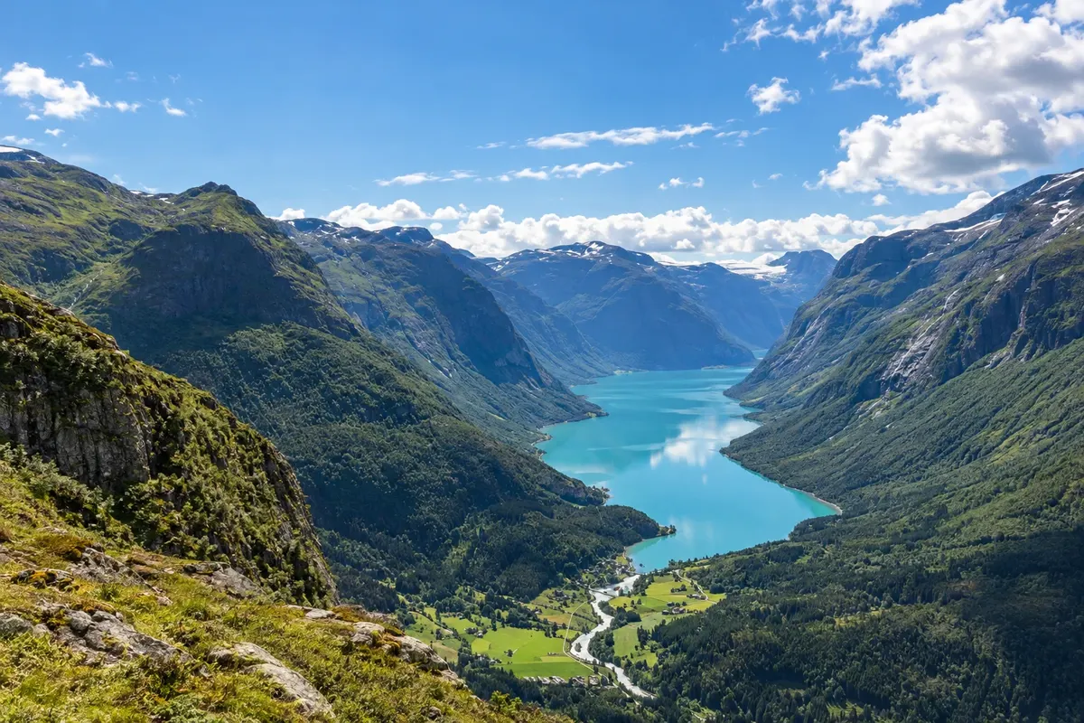
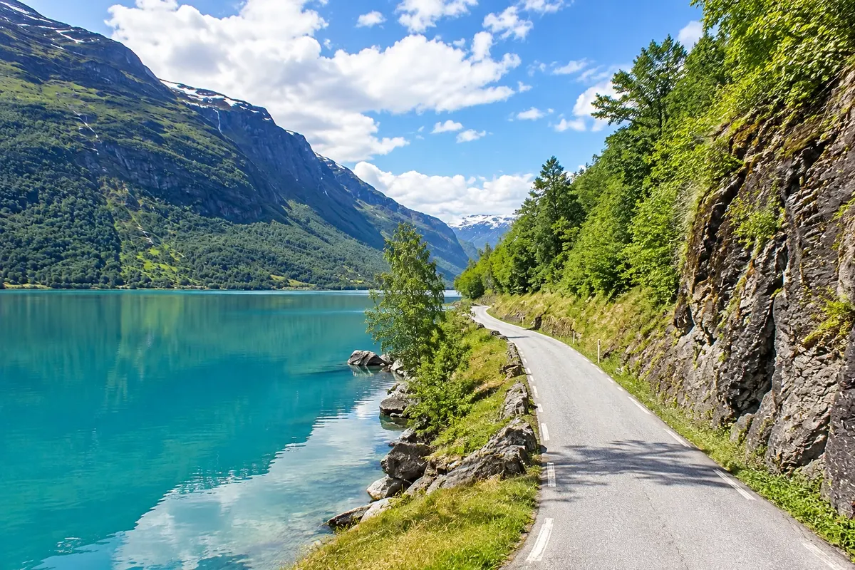
Lovatnet is the lake of the Lodalen valley, which rises from Loen to the south toward the Jostedalsbreen glacier. It is about 11 km long and has a milky-green color due to rock flour carried in suspension by the glacier rivers. Around it, the mountains rise almost straight from the shore, with waterfalls and snow on the peaks well into summer.
A narrow road runs along the east shore of the lake, passing farms, small stony beaches and stopping areas. At the valley bottom, after Bødal, the road continues through a toll section to Kjenndalen, where the Kjenndalsbreen glacier is located. Along the way, the side valley of Bødalen leads to another glacier tongue, Bødalsbreen, via a longer trail.
Kraji na poti: Lovatnet.
Vključuje: Arrange access to the site and transport separately. Guided activities and tickets have their own conditions.
Nasvet: Drive slowly: the road is narrow and has pull-out areas. Stop at the stony beaches to see the color of the water up close.
Najboljši čas za obisk: From May to September, when the road to the valley bottom and the boat usually operate
Kjenndalsbreen
Odhod: Loen It is at the bottom of the Lodalen valley, about 20 km from Loen, via the road along the shore From 30 minutes to 1 hour on the valley floor during the day depending on the route chosen
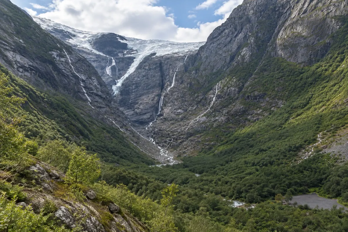
Kjenndalsbreen is a branch of the Jostedalsbreen glacier that descends from the plateau in tiers of blue ice down to the bottom of Kjenndalen valley, at the end of lake Lovatnet, about 20 km from Loen. From the car park, near a small café, a short walk of about 15 to 20 minutes leads to a viewpoint in front of the glacier terminus.
The scene features rock walls polished by the ice, meltwater waterfalls falling down both sides, and a grey-green river that flows from the glacier toward the lake. You can see the ice front up close, with crevasses and bluish blocks, and on warm days you can hear the ice cracking.
Kraji na poti: Kjenndalsbreen.
Vključuje: Arrange access to the site and transport separately. Guided activities and tickets have their own conditions.
Nasvet: Combine it with Lovatnet on the same outing. Bring a jacket: near the ice it is colder. Follow the trail markings.
Najboljši čas za obisk: From May to September, when the road to Kjenndalen is usually open
Jostedalsbreen Nasjonalparksenter
Odhod: Loen It is in Oppstryn, by road 15, about 25 km from Loen and 15 km from Stryn, From 1 to during the day. during the day depending on the route chosen
The Jostedalsbreen Nasjonalparksenter is in Oppstryn, on the shore of lake Strynsvatnet, about 25 km from Loen, on the mountain road toward Geiranger and Lom. It is one of the visitor centres for Jostedalsbreen National Park, which protects the largest glacier on continental Europe and the surrounding valleys.
The exhibits explain how glaciers form and move, how they carved the valleys and fjords of western Norway and how they are changing with the climate. There are models, rocks and ice samples, panels about the mountain’s animals and plants, and a section on life on valley farms, with winter isolation. A panoramic film shows the glacier from above through the seasons.
Kraji na poti: Jostedalsbreen Nasjonalparksenter.
Vključuje: Arrange access to the site and transport separately. Guided activities and tickets have their own conditions.
Nasvet: Stop here before going to the glaciers: the film and the models explain what you will see at Briksdal and Kjenndal.
Najboljši čas za obisk: From May to September, when the center is usually open
Briksdalsbreen
Odhod: Olden It is at the end of the Oldedalen valley, about 23 km from Olden, roughly 30 minutes 2 to 3 hours round trip from Briksdal. during the day depending on the route chosen
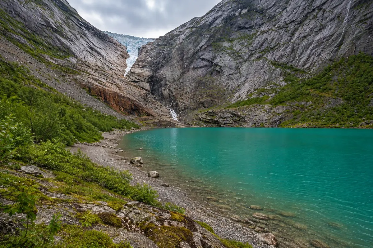
Briksdalsbreen is one of the tongues of the Jostedalsbreen glacier and one of the most visited in Norway. It descends from the plateau between rock walls to a small glacial lake at the end of the Oldedalen valley, about 23 km from Olden. The bluish ice, crevasses and the ice blocks that float in the lake can be seen from the shore.
The trail starts in Briksdal, next to a mountain lodge with a café and parking, and is about 3 km each way, with a gentle climb that becomes steeper, taking roughly 45 minutes to 1 hour on the way up. The path runs beside the Kleivafossen waterfall, whose spray reaches the trail, and crosses bridges over the meltwater river. In summer, small electric tour cars, the troll cars, often take visitors for much of the route.
Kraji na poti: Briksdalsbreen.
Vključuje: Arrange access to the site and transport separately. Guided activities and tickets have their own conditions.
Nasvet: Bring a rain jacket: the Kleivafossen waterfall splashes people passing beside it. Do the hike on foot at least on the way down to view the waterfalls at leisure.
Najboljši čas za obisk: From May to September, when the trail is usually snow-free and the electric cars operate
Oldedalen
Odhod: Olden the road leaves the center of Olden and follows the valley to Briksdal, about 23 km 1 to 3 hours, with stops, in addition to the visit to Briksdal. during the day depending on the route chosen
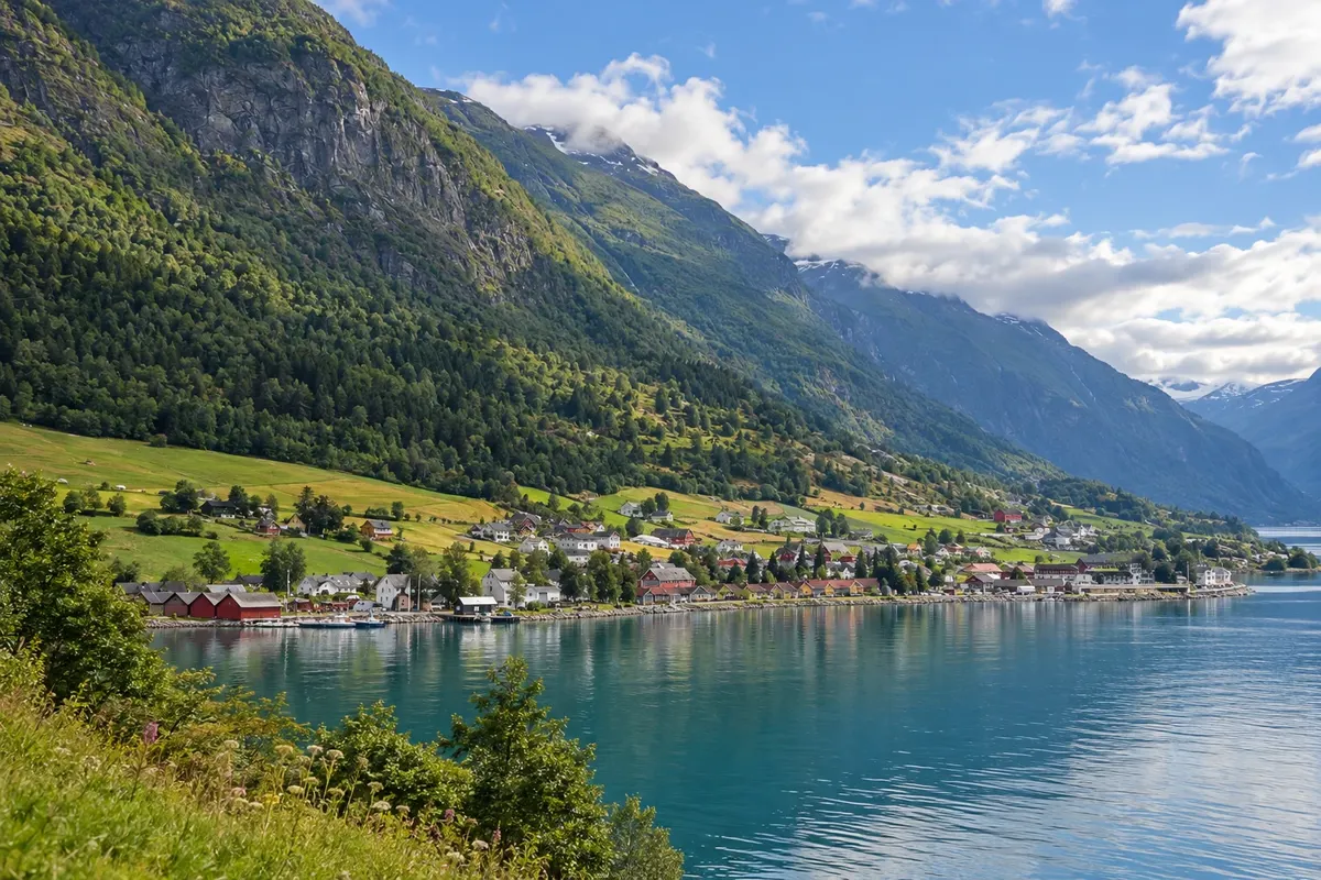
Oldedalen is the valley that runs from Olden, at the head of the Nordfjord, and climbs about 20 km south to Briksdal and the Briksdalsbreen glacier. It is a narrow valley, with mountains over 1,500 meters on both sides and waterfalls descending the slopes, some coming directly from the glacier.
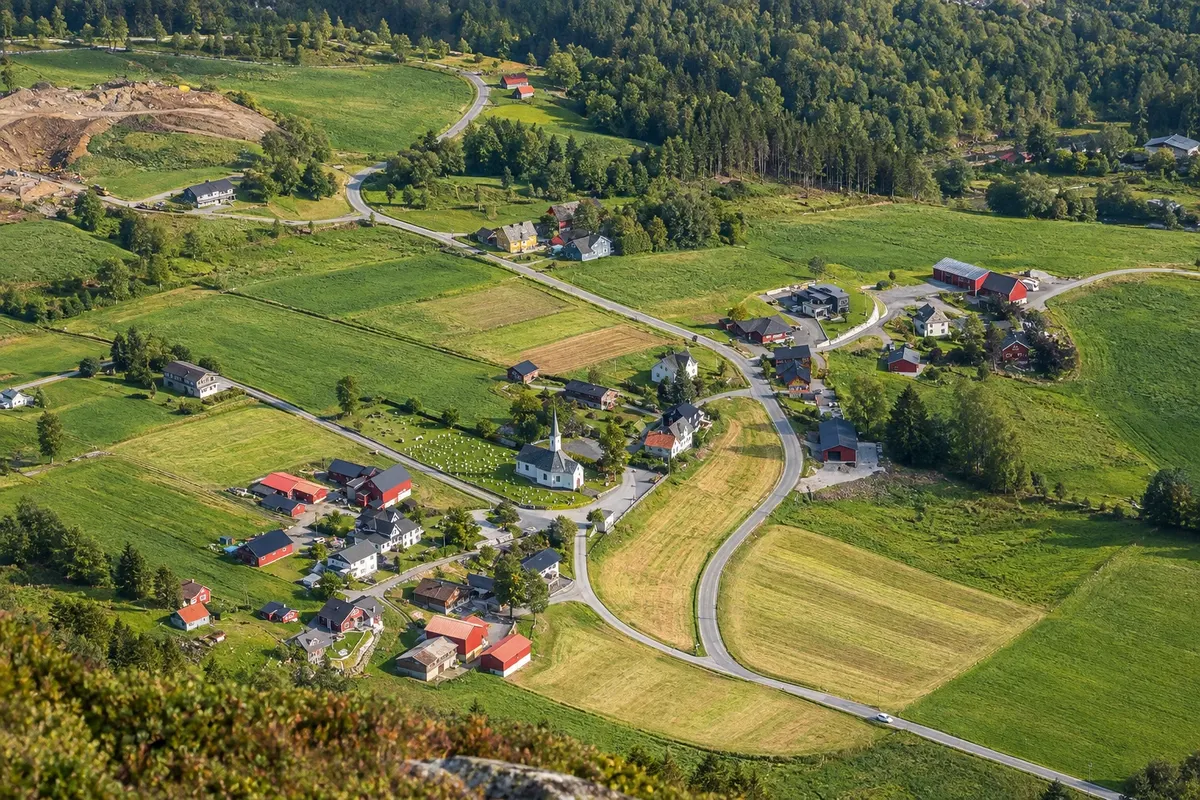
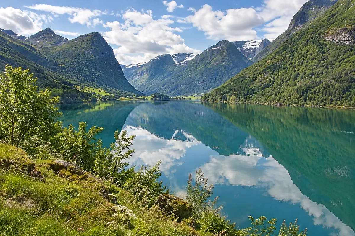
Most of the valley is occupied by Lake Oldevatnet, with milky green water, about 10 km long, and by small historic farms along the shores, some with wooden houses and 19th-century barns. The road follows the lake, with stopping areas, stony beaches and bridges over the meltwater rivers.
Kraji na poti: Oldedalen.
Vključuje: Arrange access to the site and transport separately. Guided activities and tickets have their own conditions.
Nasvet: Stop at the stony beaches of Oldevatnet to see the color of the water up close. If you have time, cycle a section of the valley with a bike rented in Olden.
Najboljši čas za obisk: From May to September, with farms and campsites open and waterfalls fullest in May and June


 Brazilija
 Antarktika
 Argentina
 Bolivija
 Čile
 Kolumbija
 Ekvator
 Gvajana
 Francoska Gvajana
 Falklandski otoki (Malvini)
 Paragvaj
 Peru
 Surinam
 Urugvaj
 Venezuela
 Nemčija
 Avstrija
 Belgija
 Hrvaška
 Danska
 Slovaška
 Slovenija
 Španija
 Finska
 Francija
 Grčija
 Nizozemska
 Madžarska
 Irska
 Islandija
 Italija
 Luksemburg
 Poljska
 Portugalska
 Združeno kraljestvo
 Češka
 Švedska
 Švica
 Turčija
 Bermudi
 Kanada
 Združene države Amerike
 Grenlandija
 Mehika
 Sveta Peter in Mihael
 Dominikanska republika
 Japonska
 Južnoafriška republika
 Egipt
 Avstralija
 Fidži
 Nova Zelandija
 Papua Nova Gvineja