Lethem and the Rupununi

Upper Takutu-Upper Essequibo · Gvajana

Lethem and the Rupununi

The savannah of southern Guyana, on the border with Roraima: Lethem, the Kanuku mountains, waterfalls, makushi and wapishana villages, cattle ranches and the Rupununi and Tacutu rivers.

Interior

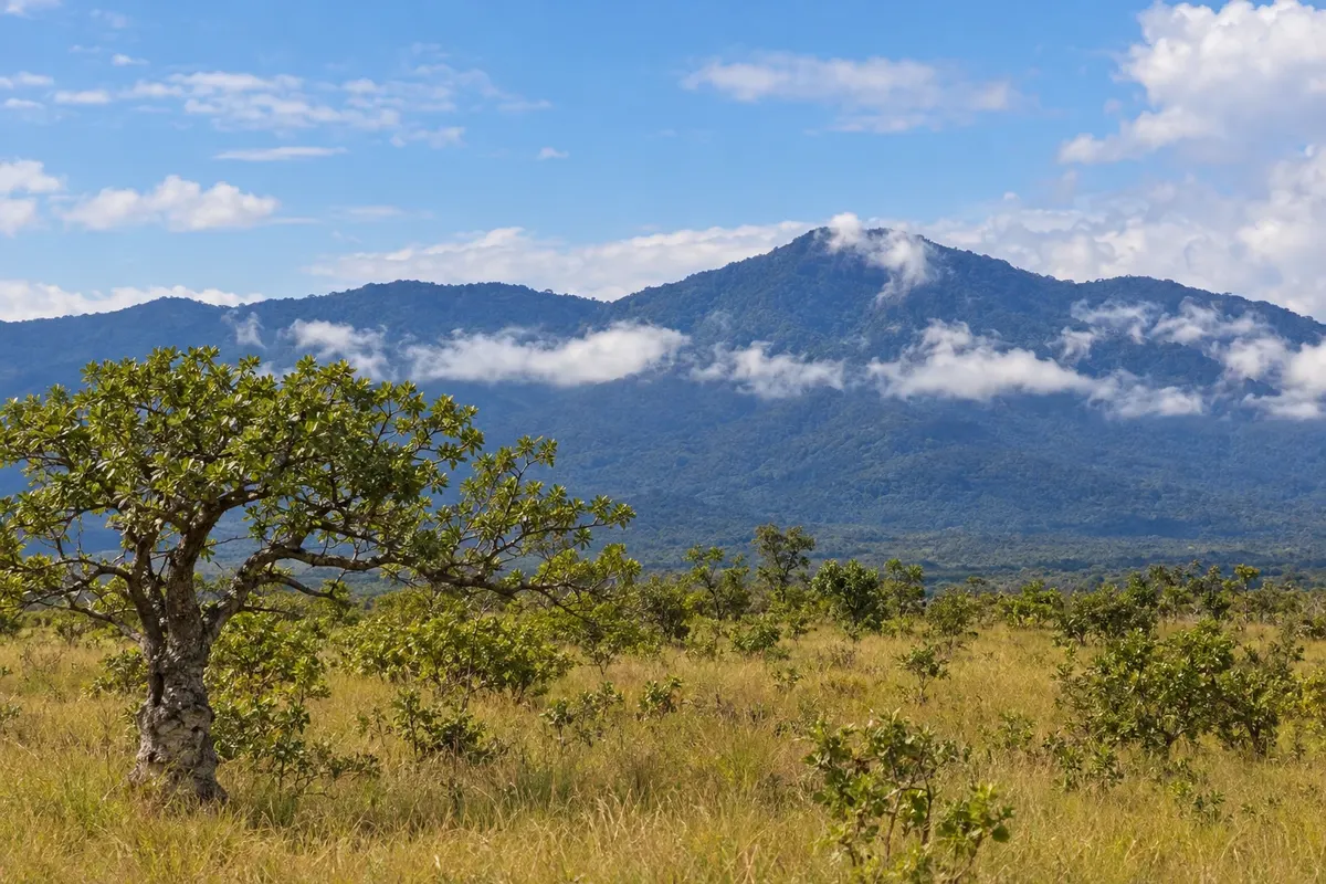
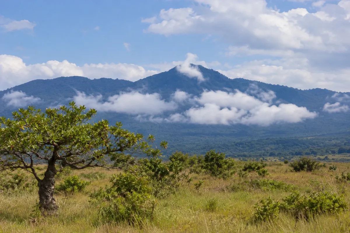
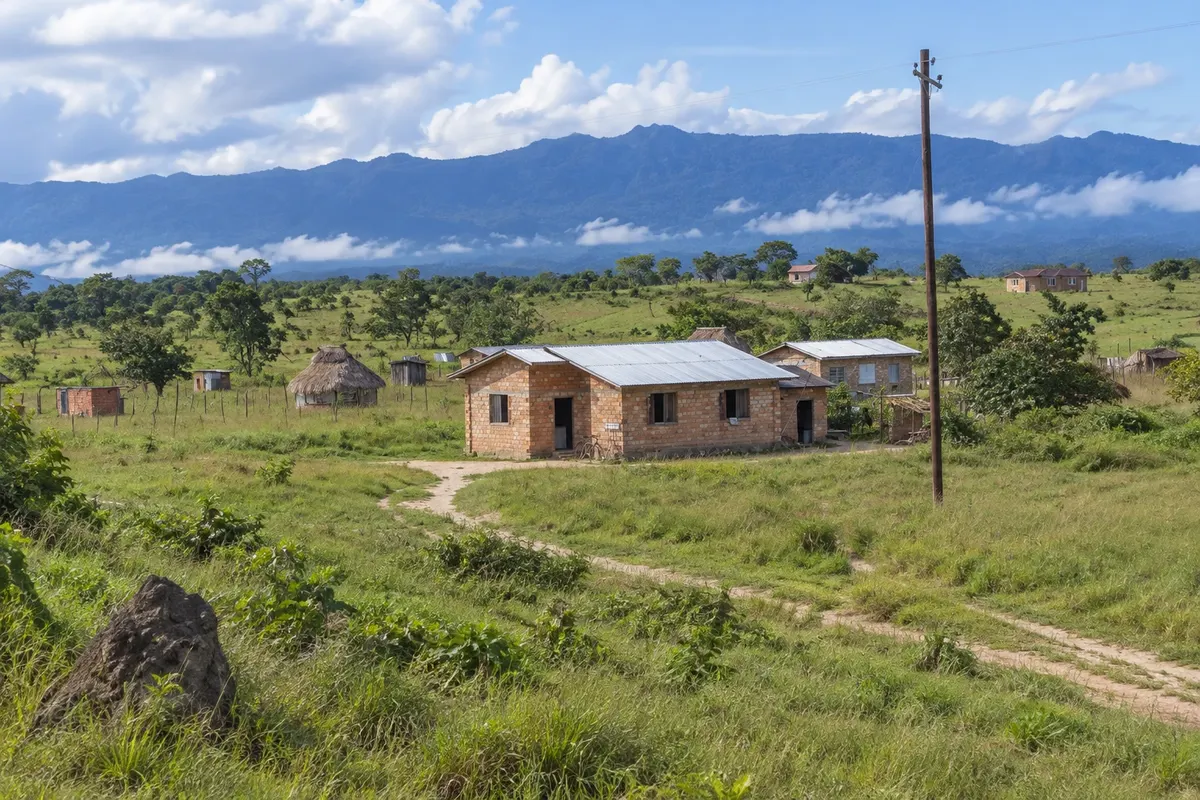
Na fotografiji: Kanuku mountains seen from Lethem

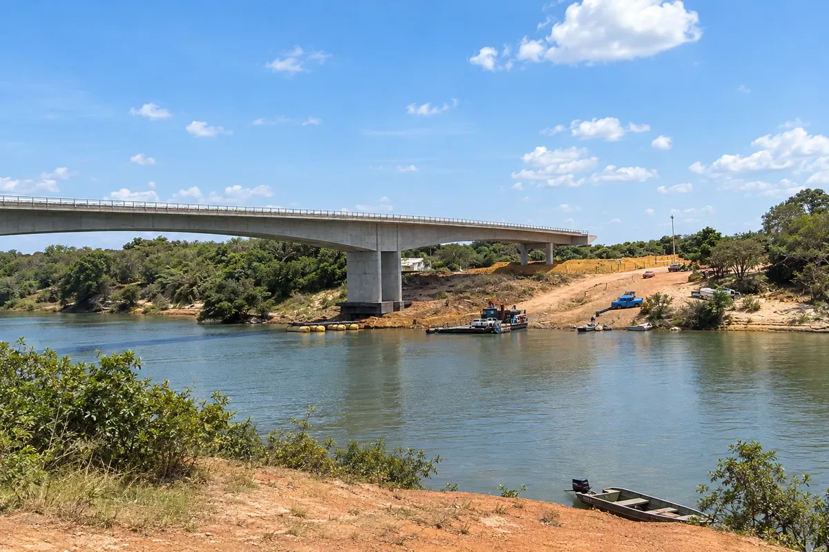
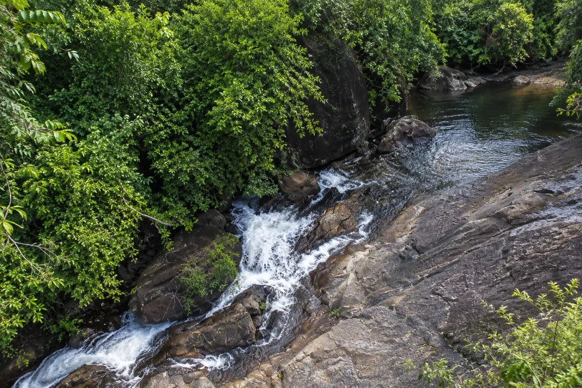
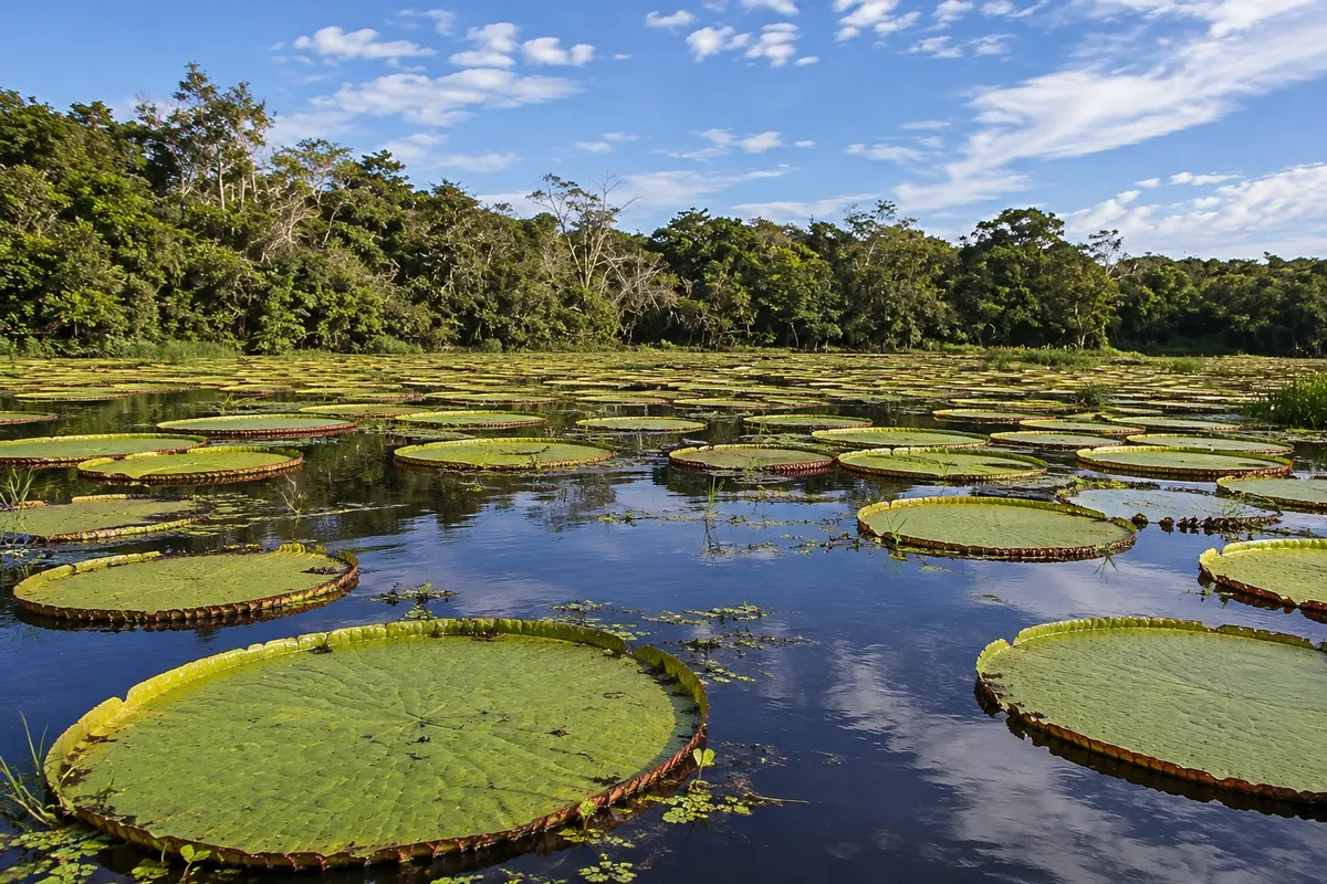
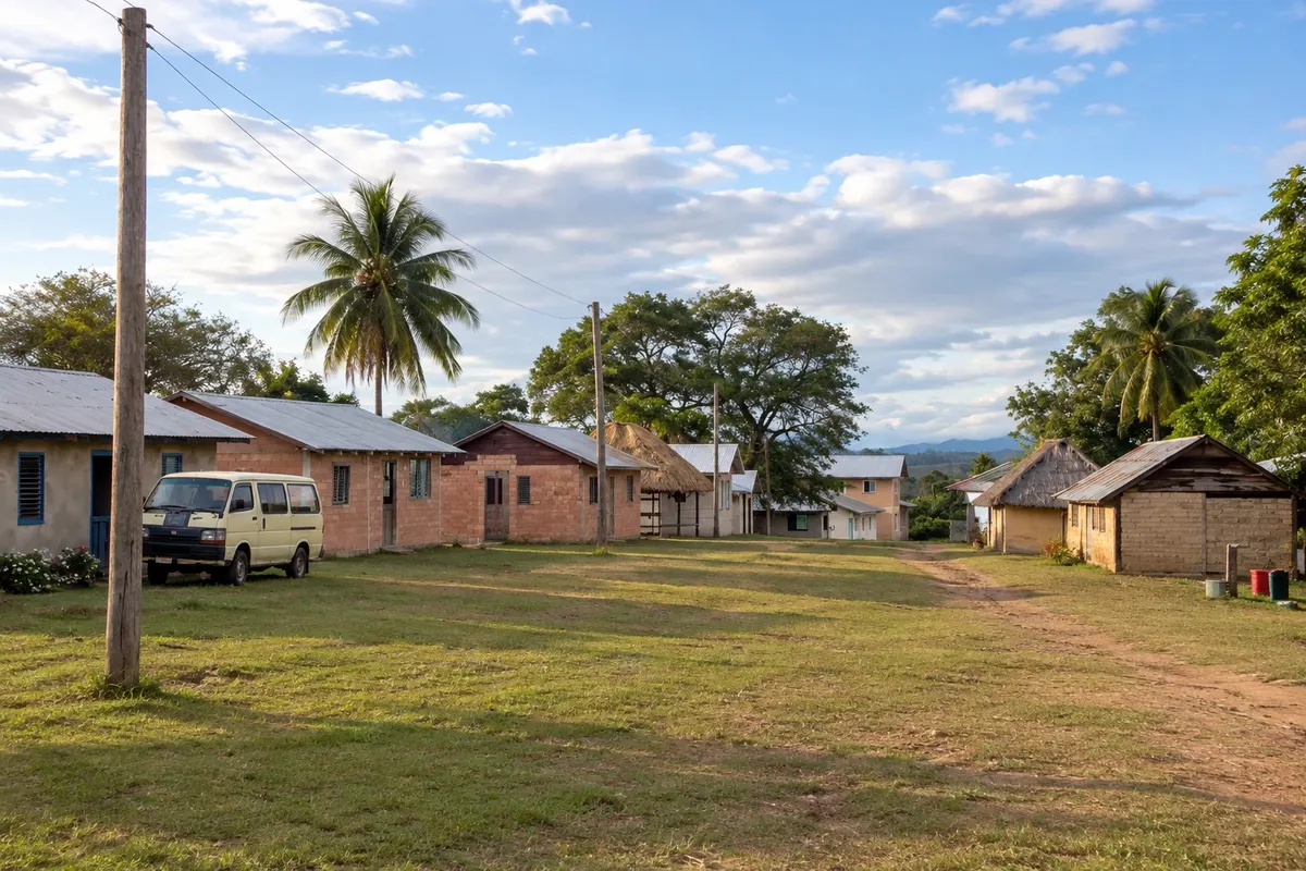
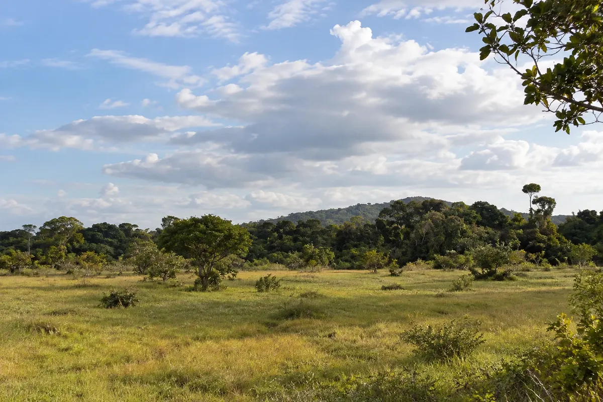
Illustrative images. The pictures in this guide are illustrations based on the real place, not photographs, and may differ from it.

Na voljo v trgovini Google Play Pošljite svoje fotografije

Spoznajte kraj

Pokrajina, ki jo doživite
v svojem ritmu.

The Rupununi is the large savannah of southern Guyana, a plain of grassland, termite mounds and riverine forest between the mountains, which continues across the border into the fields of Roraima.

The landscape has wide horizons. To the south and east of Lethem, the Kanuku mountains rise above a thousand meters, covered in forest, and divide the Rupununi into north and south. Streams flow down from them creating waterfalls such as Moco-Moco and Kumu, popular for swimming. The Rupununi River, which originates in the Kanuku and runs to the Essequibo River, crosses lagoons and forests where giant otters, caimans, the pirarucu and a large variety of birds live.

The savannah is the land of the indigenous makushi (to the north) and wapishana (to the south), who live in villages such as St. Ignatius, Annai and Surama, some offering community guesthouses and guides. There are also cattle ranches with horse-riding cowhands, a legacy of when herds crossed the savannah; on the Easter weekend, Lethem's rodeo brings people from Guyana and Roraima together.

The official language is English and cars drive on the left. Requirements may change: confirm before traveling.

This destination brings together 1 city: Lethem.

Delite: WhatsApp
Delite svoja popotniška doživetja s fotografijami Pošljite fotografije vsakega kraja, ki ste ga obiskali. Največje število fotografij na kraj: 5.

Ena destinacija, več poti

Mesta na tej poti

Začnite v enem mestu ali v načrt poti vključite več mest.

Lethem and the Rupununi – lega
Lethem

Obrisi: OpenStreetMap (Wambacher), via geoBoundaries (ODbL 1.0). Priredba: Cidade Turismo.

Kako do tja:Lethem and the Rupununi

✈ Lethem Airport (LTM)· 1 km do cilja (Lethem)

✈ Aeroporto Internacional de Boa Vista (BVB), kraj: Boa Vista (Brasil)· 130 km do cilja (Lethem)

Confirm before booking. From Georgetown there are domestic flights and minibuses that travel overnight along the interior dirt road.

Doživite kraj

Kaj početi – Lethem and the Rupununi

Kanuku Mountains
Lethem · Upper Takutu-Upper Essequibo · Gora

Kanuku Mountains

The forest-covered range that rises from the savanna east of Lethem, with peaks above one thousand meters, a protected area of Guyana and home to much of the country's birds and mammals.

Moco-Moco Falls
Lethem · Upper Takutu-Upper Essequibo · Slap

Moco-Moco Falls

The waterfall on the slope of the Kanuku mountains, about 15 km from Lethem, with pools for swimming and a stairway that climbs beside the falls; nearby is the Kumu waterfall.

St. Ignatius
Lethem · Upper Takutu-Upper Essequibo · Village

St. Ignatius

The makushi and wapishana village adjacent to Lethem, born from a Jesuit mission in 1909, with the Catholic church, the cashew cooperative and the everyday life of the savannah.

Karanambu
Lethem · Upper Takutu-Upper Essequibo · Ranch

Karanambu

Former cattle ranch on the banks of the Rupununi River, in the north of the savannah, now a lodge and conservation area known for ariranhas, giant anteaters and giant water lilies.

Lethem and the Rupununi – prikaži dodatne kraje (2)
Annai
Lethem · Upper Takutu-Upper Essequibo · Village

Annai

The makushi village in the north of the Rupununi, on the Georgetown–Lethem road, between the savannah and the forest, with an airstrip and lodges that serve as a base for the region.

Surama
Lethem · Upper Takutu-Upper Essequibo · Village

Surama

Makushi village on the edge of the northern Rupununi forest, a reference for community tourism in Guyana, with the community's own lodge, trails and trips on the Burro-Burro River.

Pred odhodom

Praktične informacije

Z nekaj načrtovanja boste imeli več časa za uživanje na poti.

Kdaj se odpraviti

From September to April is the dry season, with dirt roads in better condition and hot days; Lethem’s rodeo takes place on the Easter weekend. From May to August there is heavy rain: the savannah fills with lagoons and some roads become slow or impassable. Daytime temperatures exceed 30 degrees Celsius year-round.

The seasons shown are the most usual ones; nature doesn't always follow the calendar.

Koliko dni ostati

Three days in Lethem allow you to see St. Ignatius, the Moco-Moco and Kumu waterfalls, and the foot of the Kanuku mountains. With a week you can head to the northern Rupununi and spend nights in Karanambu, Annai or Surama.

V katerem mestu prenočiti

Lethem has simple hotels and guesthouses in the centre, near the market and the airport, and it is the base for trips into the southern savannah. In the northern Rupununi, accommodation is in ranch and village guesthouses, such as those in Karanambu, Annai and Surama, which typically include meals, guides and excursions. Bonfim, on the other side of the bridge, also offers lodging.

Spoštujte kraj

Odnesite svoje odpadke, upoštevajte oznake in podprite lokalne ponudnike. V naravi upoštevajte navodila za obiskovalce.

Odgovori na vaša vprašanja

Pogosta vprašanja – Lethem and the Rupununi

What is the best time to go to the Rupununi?

From September to April, during the dry season, when dirt roads are in better condition. From May to August there is heavy rain and some roads become slow or impassable. Lethem’s rodeo takes place on the Easter weekend.

Do you need a car in the Rupununi?

Distances are large and the roads are unpaved. For excursions it’s most common to hire transport with a driver or guide in Lethem, or arrange pickup through the guesthouses, which usually collect guests. Remember that in Guyana you drive on the left.

Can you go to Kaieteur Falls from the Rupununi?

Kaieteur is far away, in the center of the country. The trip is usually made by small plane, typically departing from Georgetown. Confirm departures before planning.

Odkrijte druge destinacije Iskanje po zvezni državi in mestu

Več kot vodnik