Costa dos Corais

Nadroga-Navosa · Fidži

Costa dos Corais

The south coast of Viti Levu between Nadi and Pacific Harbour: the Sigatoka dunes, Natadola Beach, Tavuni Fort and waterfalls in the jungle, along the Queens Road.

Nadi, the Coral Coast and the islands

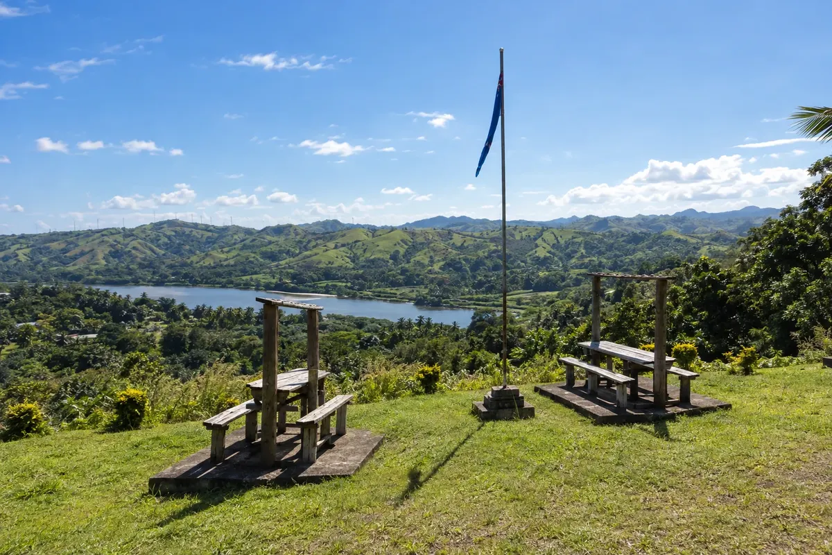
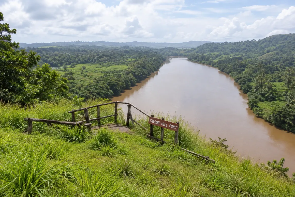
Na fotografiji: Forte de Tavuni and Sigatoka River valley

Illustrative images. The pictures in this guide are illustrations based on the real place, not photographs, and may differ from it.

Na voljo v trgovini Google Play Pošljite svoje fotografije

Spoznajte kraj

Pokrajina, ki jo doživite
v svojem ritmu.

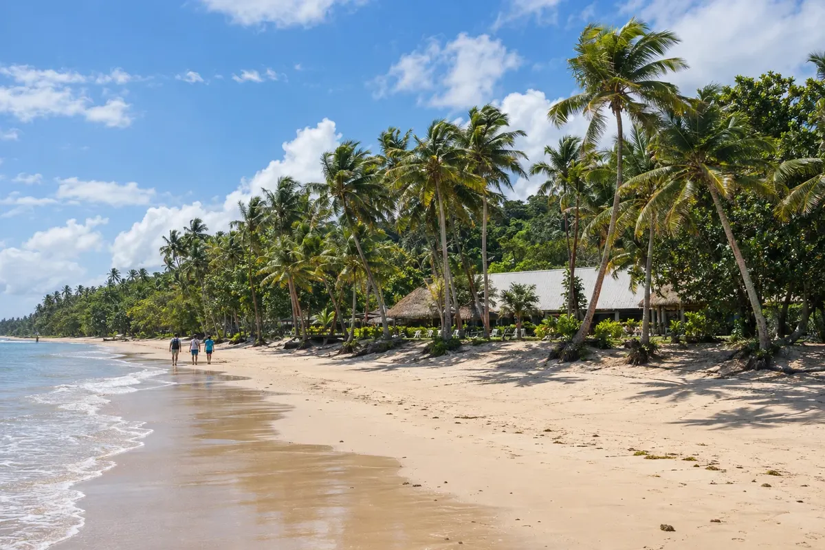
The Coral Coast is the stretch of the south coast of Viti Levu that runs from Momi, south of Nadi, to near Pacific Harbour, following the Queens Road for about 80 km. The name comes from the coral reef that runs parallel to the shore, a short distance from the sand, forming shallow lagoons in front of the beaches.

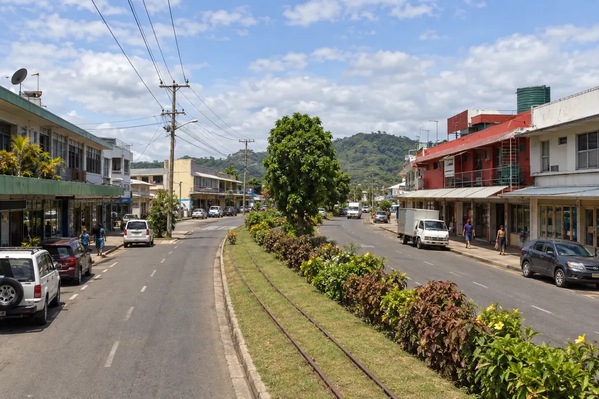
The main town is Sigatoka, at the mouth of the river of the same name, a commercial center of a fertile valley known as Fiji’s garden. Nearby are the Sigatoka Dunes, the country’s first national park, with high dunes where pottery about 2,600 years old was found, and Tavuni Fort, an 18th-century fortification on a hill above the river.

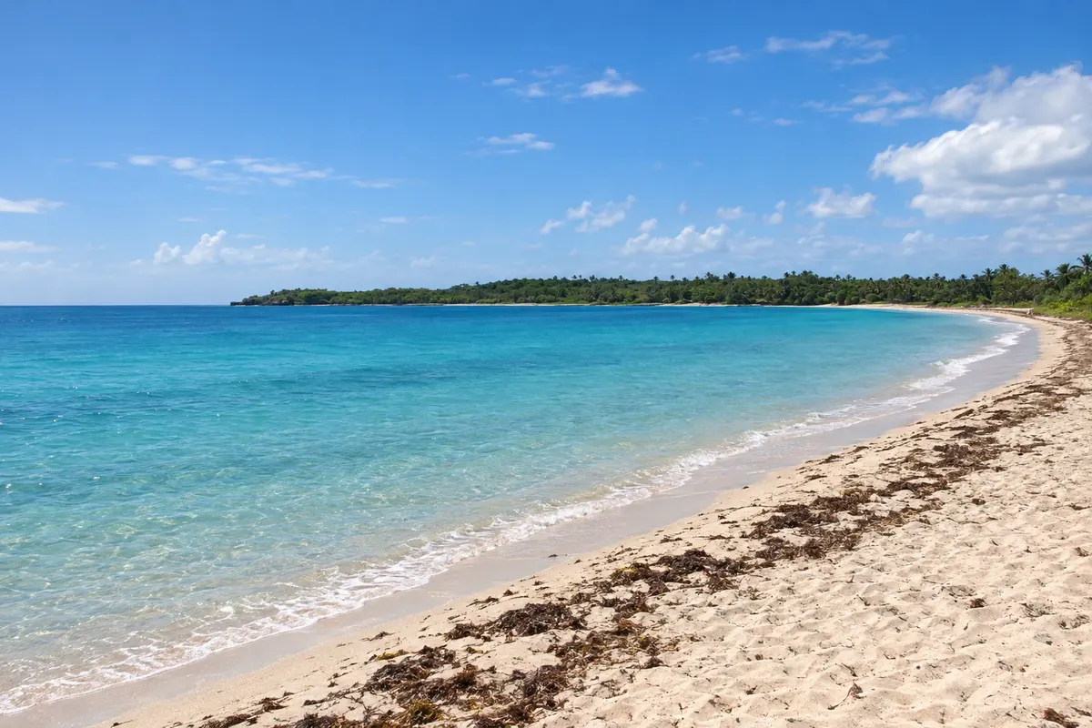
To the west, Natadola Beach has one of the few stretches of sand on Viti Levu where you can swim well even at low tide, because it lies outside the reef line. To the east, in Korolevu and neighboring villages, the coast fills with beach accommodations, and inland trails lead to jungle waterfalls such as Biausevu.

This destination brings together 3 cities: Sigatoka, Natadola, Korolevu.

Delite: WhatsApp
Delite svoja popotniška doživetja s fotografijami Pošljite fotografije vsakega kraja, ki ste ga obiskali. Največje število fotografij na kraj: 5.

Ena destinacija, več poti

Mesta na tej poti

Začnite v enem mestu ali v načrt poti vključite več mest.

Costa dos Corais – lega
NatadolaSigatokaKorolevu

Meje: Pacific Data Hub / geoBoundaries (CC BY 4.0). Priredba: Cidade Turismo.

Kako do tja:Costa dos Corais

✈ Aeroporto Internacional de Nadi (NAN), kraj: Namaka· 70 km do cilja (Sigatoka)

Confirm before you buy. From Nadi International Airport, the Coral Coast is about 1 to 2 hours along Queens Road by car, transfer, or bus. From Suva, it’s roughly 2 to 3 hours in the opposite direction.

Predlagana točka prihoda:Sigatoka

Doživite kraj

Kaj početi – Costa dos Corais

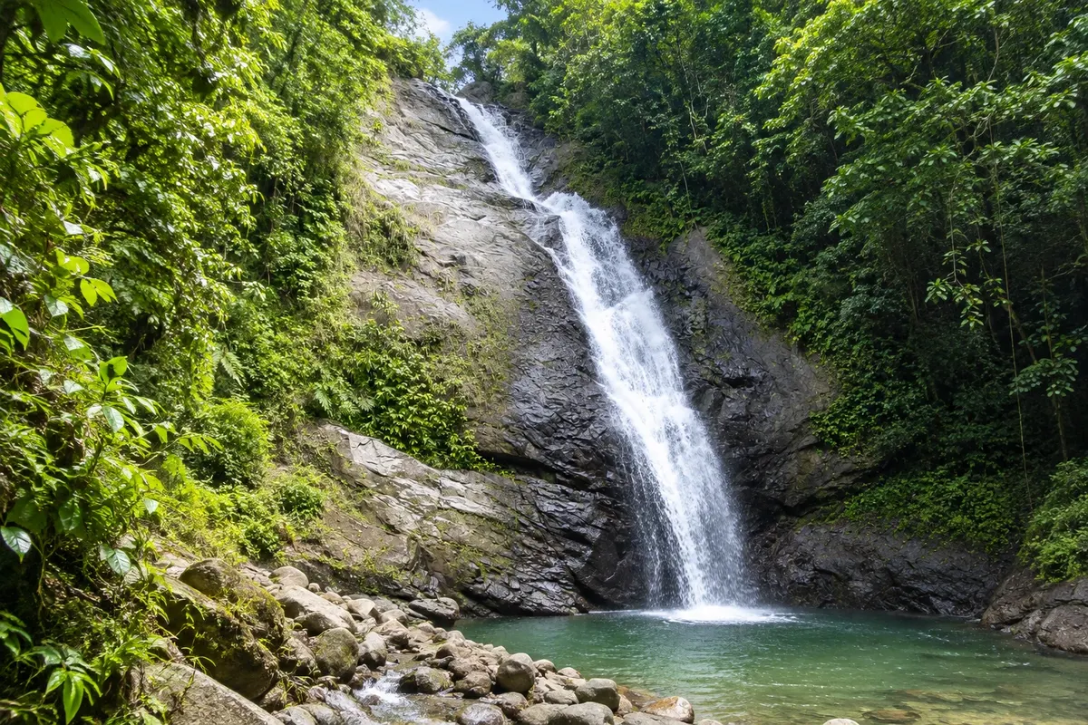
Biausevu Falls (Savu Na Mate Laya)
Korolevu · Nadroga-Navosa · Slap

Biausevu Falls (Savu Na Mate Laya)

Waterfall in the inland forest of the Coral Coast, reached by a trail from the village of Biausevu, with a pool for swimming at the end of the walk.

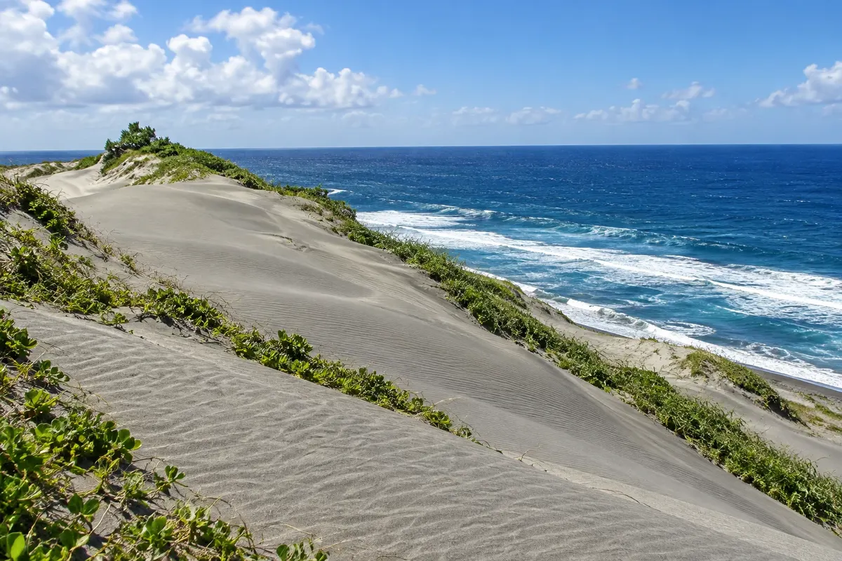
Sigatoka Sand Dunes
Sigatoka · Nadroga-Navosa · National park

Sigatoka Sand Dunes

Fiji’s first national park, with dunes 20–60 metres high at the mouth of the Sigatoka River, trails through forest and sand down to the beach, and sites where Lapita pottery about 2,600 years old has been found.

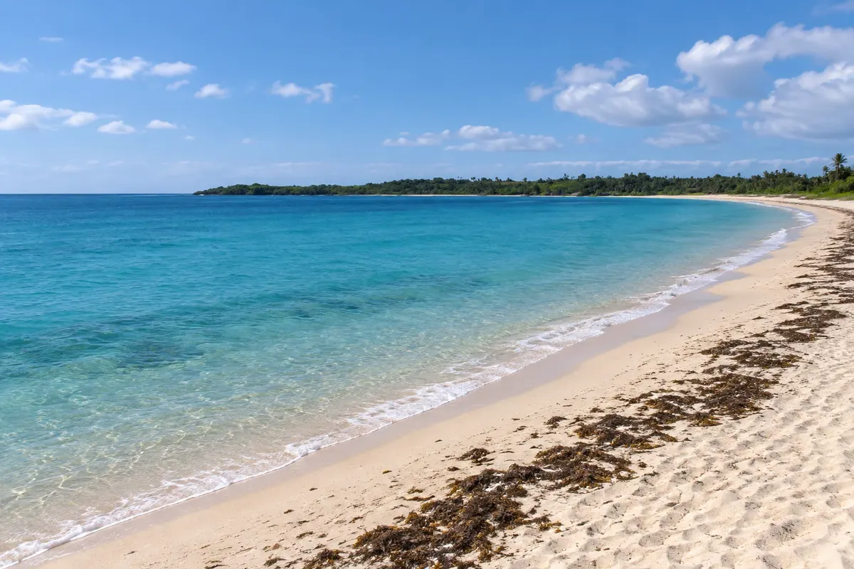
Natadola Beach
Natadola · Nadroga-Navosa · Plaža

Natadola Beach

Long stretch of white sand in an open bay, outside the reef line, with deep, clear water for swimming most of the day, about 1 hour from Nadi.

Tavuni Hill Fort
Sigatoka · Nadroga-Navosa · Historic site

Tavuni Hill Fort

An 18th-century fortification on a hill above the Sigatoka valley, built by a chief from Tonga, with terraces, earth walls and views over the river.

Costa dos Corais – prikaži še 1 kraj
Kula Wild Adventure Park
Sigatoka · Nadroga-Navosa · Wildlife park

Kula Wild Adventure Park

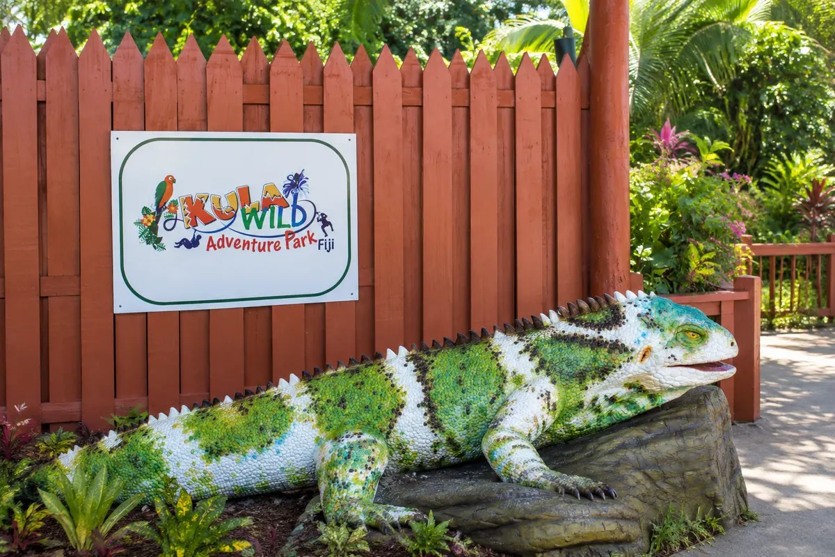
A wildlife park in Korotogo, near Sigatoka, with native Fijian birds, reptiles and fish, a breeding programme for the crested iguana and forest trails.

Pred odhodom

Praktične informacije

Z nekaj načrtovanja boste imeli več časa za uživanje na poti.

Kdaj se odpraviti

From May to October, the dry season, days are usually sunny and less humid—good for beach and trails. From November to April it’s hotter, with more heavy showers, and it’s cyclone season. Natadola’s waves tend to be larger with southern swells from May to October.

The seasons shown are the most usual ones; nature doesn't always follow the calendar.

Koliko dni ostati

Two or three days allow you to combine beach, the dunes, Tavuni Fort, and a waterfall. Many people travel the coast between Nadi and Suva with one or two nights en route.

V katerem mestu prenočiti

Natadola, at the far west, is the most open beach for swimming and is about 1 hour from Nadi. Korotogo and Sigatoka are convenient for the dunes, the fort, and shopping. Korolevu and the coast to the east concentrate beach accommodations with a reef lagoon and lie on the route to Pacific Harbour and Suva.

Spoštujte kraj

Odnesite svoje odpadke, upoštevajte oznake in podprite lokalne ponudnike. V naravi upoštevajte navodila za obiskovalce.

Odgovori na vaša vprašanja

Pogosta vprašanja – Costa dos Corais

Why is it called the Coral Coast?

Because of the coral reef that runs parallel to the south coast of Viti Levu, close to the shore, forming shallow lagoons in front of the beaches.

Does the Coral Coast have good beaches for swimming?

On most beaches, the lagoon is shallow at low tide. Natadola is the best-known exception, with deep enough water for swimming for most of the day.

Do I need a car on the Coral Coast?

It helps, because the points of interest are spread along Queens Road. You can also use buses, taxis, and tours that offer hotel pickup.

Can you see the Coral Coast in one day from Nadi?

You can see the Sigatoka dunes and Natadola beach in a day, but the coast is better experienced with one or two nights.

What to do in Sigatoka?

Visit the Sigatoka Sand Dunes, climb Tavuni Fort, stroll the market and the river valley, known as Fiji’s garden.

Odkrijte druge destinacije Iskanje po zvezni državi in mestu

Več kot vodnik