La Flégère and the Grand Balcon Sud to Planpraz
Odhod: Les Praz de Chamonix (La Flégère cable car) Cable car up to La Flégère, trail and cable car from Planpraz on the descent Približno 4 ure Dopoldne ali popoldne moderate (about 500 m of ascent)
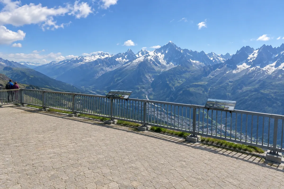
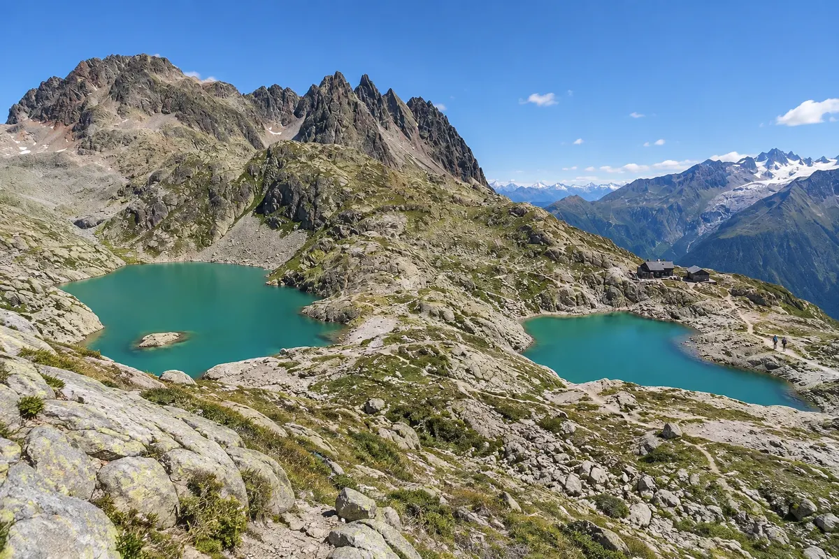
La Flégère is the mountain terrace on the north side of the valley, facing south, with views of the Mont Blanc massif, the Mer de Glace and the Aiguille Verte. The cable car departs from Les Praz, passes over the Chamonix golf course and reaches the top station at 1,877 m, where there is a restaurant and a terrace. Those who don’t want to hike can stay there and return by cable car. Hikers follow the Grand Balcon Sud, a section of the GR Tour du Mont‑Blanc and the GR5, to Planpraz at 2,000 m in the Brévent sector: it’s about 5.5 km one way, with roughly 500 m of ascent and 350 m of descent, taking about 2 hours, always facing the glaciers. From Planpraz the cable car descends directly to central Chamonix. The walk can be done the other way around, from Planpraz to La Flégère.
Kraji na poti: La Flégère, Grand Balcon Sud, Planpraz, Le Brévent, Les Praz de Chamonix.
Vključuje: Self-guided hike. The La Flégère and Planpraz cable cars require tickets; the Mont Blanc Multipass includes both. Check the current timetable.
Nasvet: Do it in the Flégère–Planpraz direction and finish in downtown Chamonix, without needing to return to Les Praz. Les Praz has a bus stop and a train station. Bring water: there are few places to refill your bottle along the route.
Najboljši čas za obisk: From mid‑June to mid‑September, depending on cable car openings and the snow (confirm).
Skiing in the Chamonix valley: Brévent-Flégère, Grands Montets, Balme and Les Houches
Odhod: Chamonix, Argentière, Le Tour and Les Houches Ski bus and train from the valley to the departure stations from 1 day to 1 week Ves dan variable (runs for all levels)
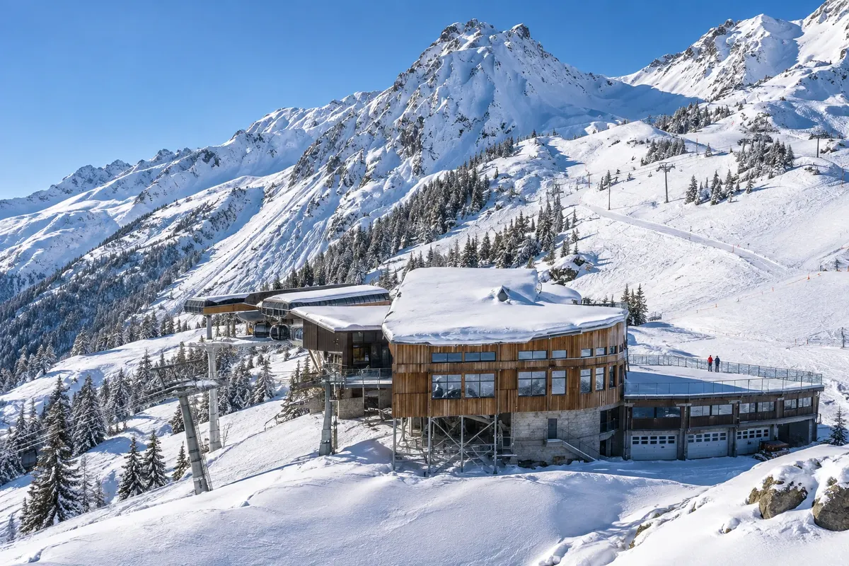
The Chamonix valley does not form a single ski domain: there are several, spread along the valley from Les Houches at the entrance to Le Tour and Vallorcine near Switzerland, ranging from 1,035 m to about 3,300 m in elevation. Brévent and Flégère, linked by a cable car, are on the sunny side facing Mont Blanc; Brévent departs from central Chamonix and Flégère from Les Praz. Les Grands Montets, above Argentière, has the highest runs and is popular with advanced skiers and off-piste riders. The Domaine de Balme sits between Le Tour and Vallorcine at the end of the valley, and Les Houches, connected to Saint-Gervais, is at the entrance. For those who have never skied, there are small beginner areas in the valley bottom, such as Le Savoy, Les Planards, Les Chosalets and Le Tourchet, with ski schools and instructors. The valley hosted the first Winter Olympic Games in 1924 and stages Alpine Ski World Cup events.
Kraji na poti: Le Brévent, La Flégère, Les Grands Montets, Domaine de Balme, Le Tour, Vallorcine, Les Houches, Le Savoy, Les Planards.
Vključuje: There are one-day passes for each ski area and multi-day passes, such as the Mont Blanc Unlimited, which includes other resorts and Courmayeur in Italy. Equipment rental, lessons and instructors are paid separately. Check the current price list.
Nasvet: Buy the lift pass online in advance: it is usually cheaper. Take a lesson on the first day if you have never skied. Use the ski buses between ski areas. Avoid the French school holidays in February, when queues increase. Snow conditions vary from year to year: check which runs are open before booking.
Najboljši čas za obisk: The season typically runs from mid-December to April, depending on snow. January and March usually have shorter queues than February.
Vallée Blanche: guided off-piste ski descent from the Aiguille du Midi
Odhod: Chamonix (Aiguille du Midi cable car) With a high-mountain guide; cable car on the ascent and the Montenvers train on the descent about 5 to 7 hours Ves dan difficult (advanced skier)
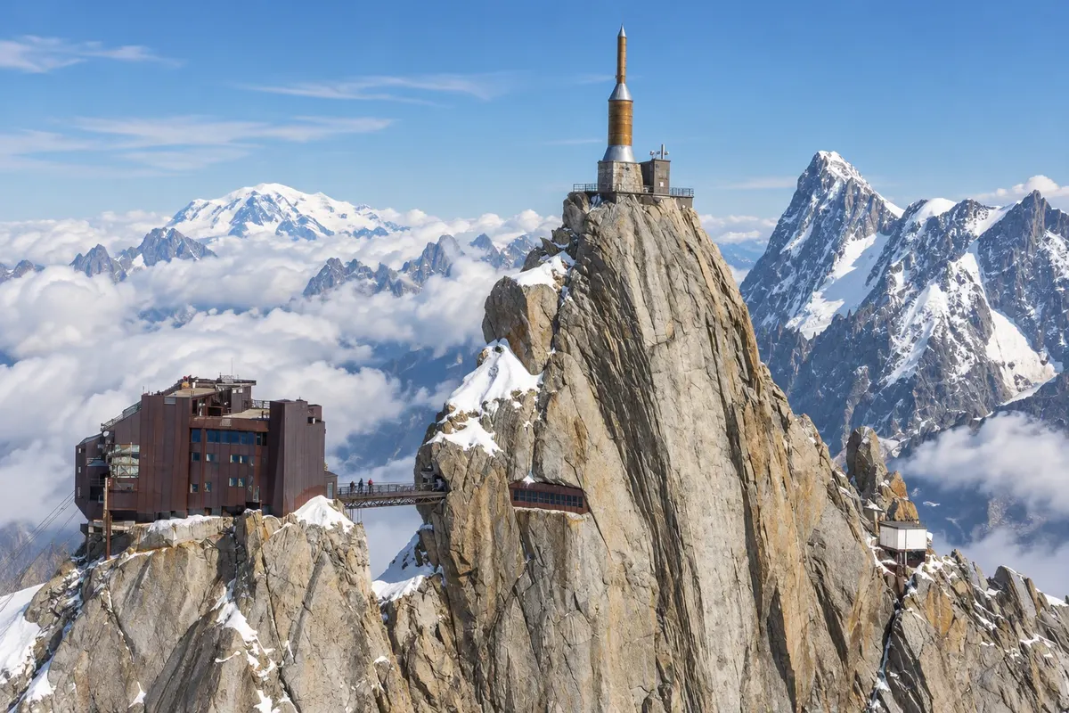
The Vallée Blanche is an off-piste ski descent over the glaciers of the Mont Blanc massif, about 20 km long with roughly 2,800 m of vertical drop. It is not a marked or patrolled run: it is done with a high-mountain guide. The start is via the Aiguille du Midi cable car. Up there, the group gears up in the ice tunnel and walks down, with crampons and roped, the narrow ridge that leads to the Col du Midi; for much of the season a zigzag path is prepared on that section. Then you ski. The classic itinerary, the least difficult, goes via the Glacier du Géant and the Glacier du Tacul, with views of the Dent du Géant at 4,013 m, the Grandes Jorasses and the Aiguille Verte at 4,122 m, amid crevasses and seracs. The descent finishes at the Mer de Glace, and the return to Chamonix is by the Montenvers train, with a walk up to the station. Variants such as the Petit Envers and the Grand Envers are more technical.
Kraji na poti: Aiguille du Midi, Vallée Blanche, Glacier du Géant, Glacier du Tacul, Mer de Glace, Montenvers.
Vključuje: The guide is hired separately, at the guide companies and offices in Chamonix. Cable car, Montenvers train and equipment rental are paid separately. Check the current price table.
Nasvet: You need to be a strong off-piste skier and in good physical condition. Recommended equipment includes an ice axe, avalanche transceiver, shovel, probe, helmet, harness, rope and crampons; the guide will advise what to rent. Never move ahead of the guide: there are crevasses hidden under snow bridges. Book the ascent of the Aiguille du Midi.
Najboljši čas za obisk: In the ski season, from December to April, depending on snow and the glacier; at the start of the season the ridge is not prepared (confirm with the guide).
Tramway du Mont-Blanc: from Le Fayet to the Nid d'Aigle
Odhod: Saint-Gervais-les-Bains-Le Fayet (next to the SNCF station) rack railway about 3 to 4 hours, round trip Dopoldne ali popoldne easy (altitude 2,372 m)
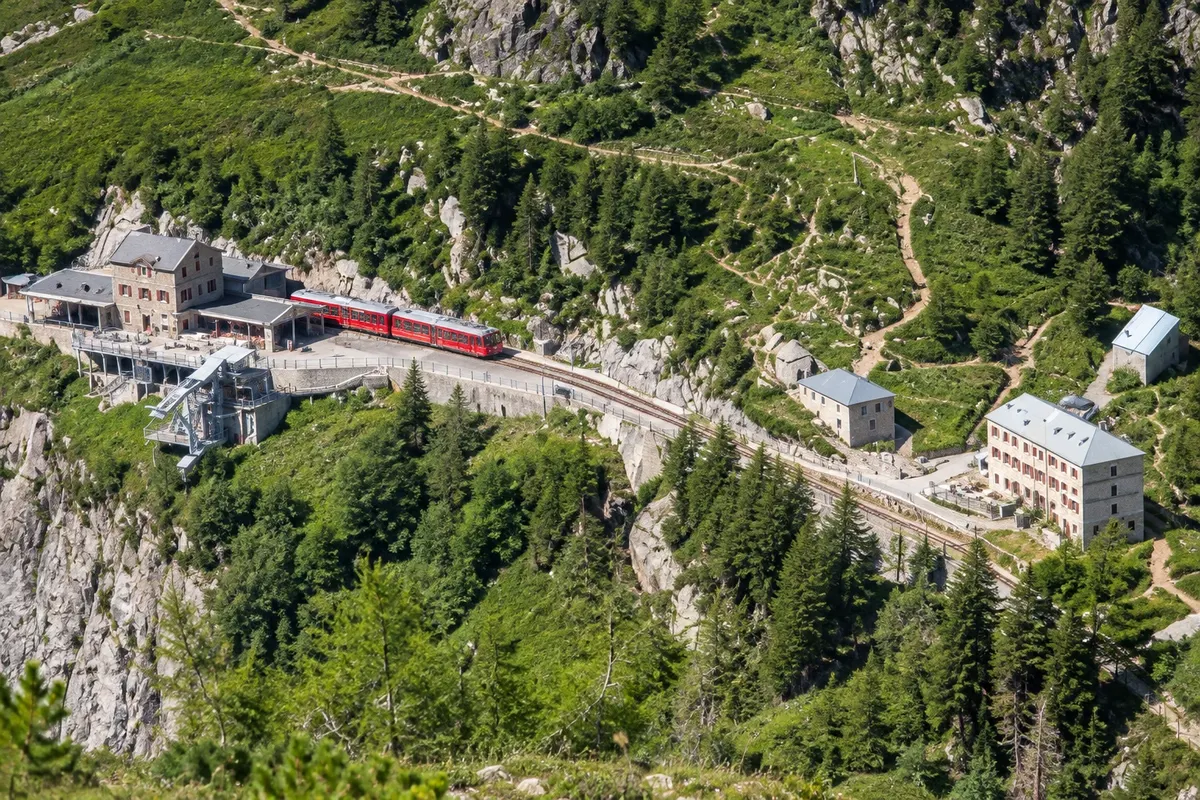
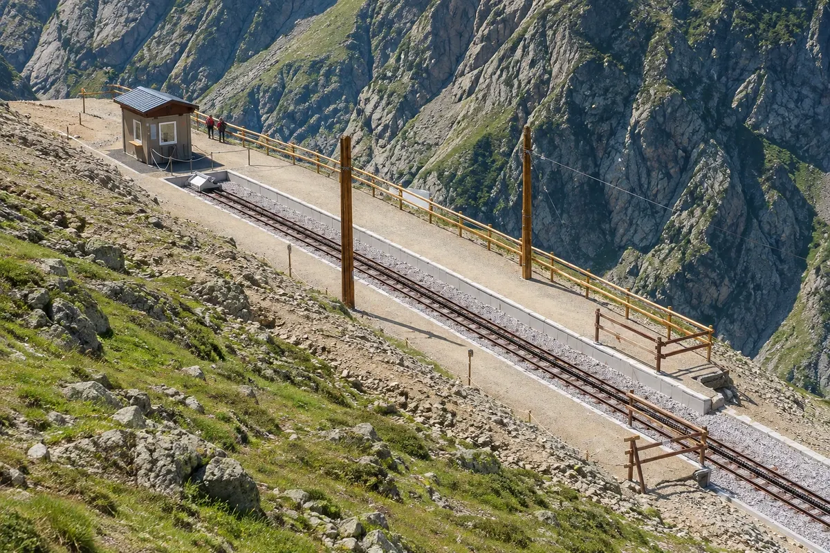
The Tramway du Mont-Blanc is a rack railway that climbs the west flank of Mont Blanc from Le Fayet, at 580 m, in Saint-Gervais-les-Bains, the same station where you change trains for Chamonix. The line is 12.7 km long with gradients up to 24%. The train stops at Saint-Gervais, at 796 m; Motivon, at 1,368 m; Col de Voza, at 1,660 m; Bellevue, at 1,794 m; and Mont Lachat, at 2,074 m, before the terminus, the Nid d'Aigle, at 2,372 m. The ascent takes just over 1 hour. At the Nid d'Aigle the station faces the Glacier de Bionnassay, and from there the normal route up Mont Blanc used by mountaineers starts. For visitors there are short trails around the terminal and paths down to Bellevue or Col de Voza, where you can catch the train back. Trains carry up to 200 people each.
Kraji na poti: Le Fayet, Saint-Gervais-les-Bains, Motivon, Col de Voza, Bellevue, Mont Lachat, Nid d'Aigle, Glacier de Bionnassay.
Vključuje: There is an entrance fee, with the option to disembark at intermediate stops. Check the current price table.
Nasvet: It's on the route between Annecy and Chamonix: you can fit it into the day you change cities, which involves a train change at Le Fayet. Bring a jacket: it is cold at the Nid d'Aigle even in summer. On the return, those who want to walk can descend on foot for a stretch and catch the train at an intermediate stop.
Najboljši čas za obisk: From mid-June until the end of September up to the Nid d'Aigle; from mid-December until the end of March, on a route that may be shorter (confirm).
Annecy lake circuit by bike via the voie verte
Odhod: Annecy (west shore of the lake) Regular or electric bicycle, rented in town from 3 hours to 1 day Ves dan easy on the voie verte; moderate for the full return
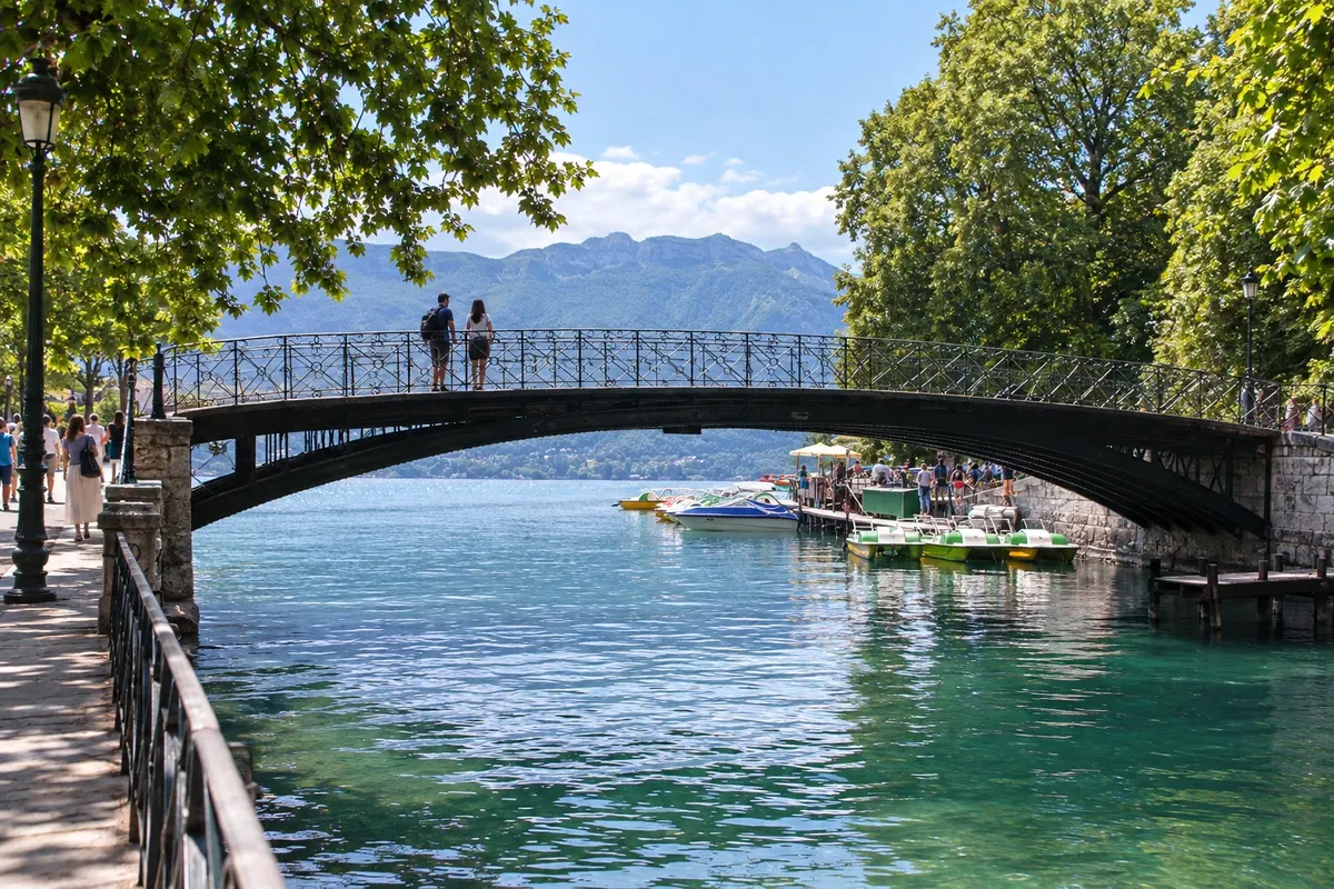
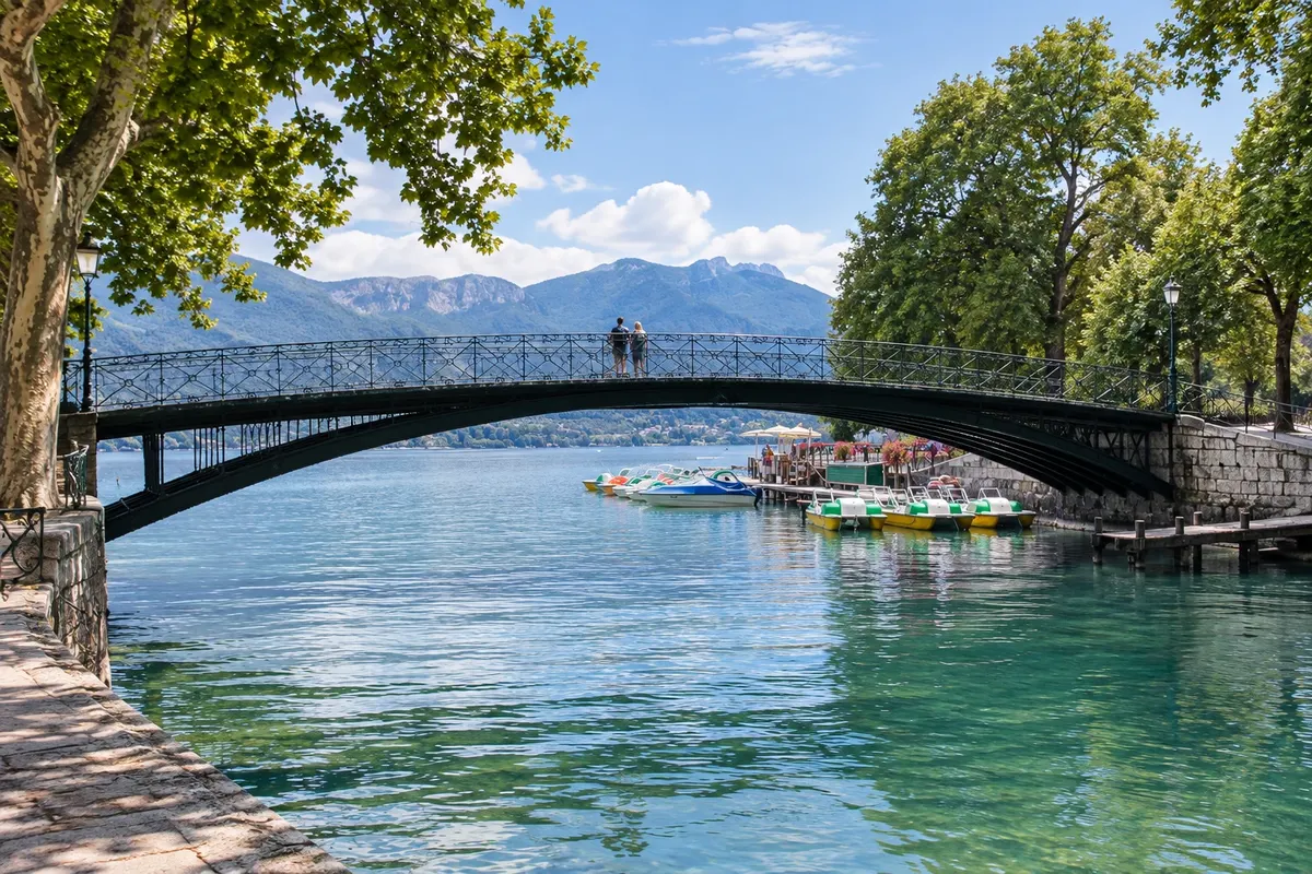
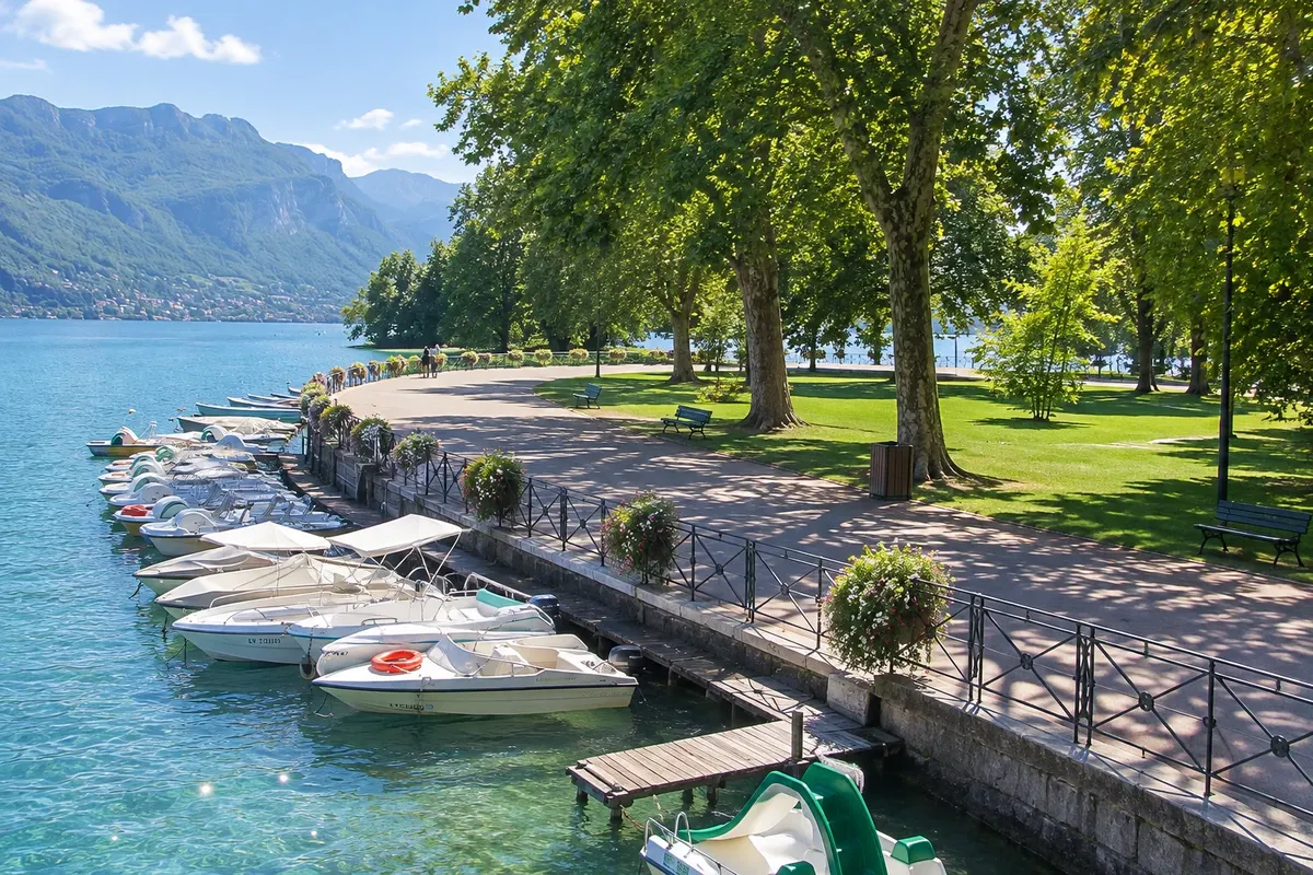
The voie verte of Lac d'Annecy is a traffic-separated cycle path that runs along the lake’s west shore, from Annecy to Marlens in the Val de Chaise, about 33 km. The section is flat and passes Sévrier, Saint-Jorioz and Duingt, with beaches and picnic spots by the water, up to Doussard at the end of the lake. From there a véloroute continues to Albertville. Those who do the full circuit around the lake cover about 40 km, with roughly 200 m of cumulative ascent: on the east shore, via Talloires, Menthon-Saint-Bernard and Veyrier-du-Lac, the véloroute shares some sections with cars in the villages, and there is an ascent of about 100 m at Talloires-Montmin. To shorten the route you can ride only the west shore and return by boat, which carries bicycles on board in season.
Kraji na poti: Lac d'Annecy, Voie verte du lac d'Annecy, Sévrier, Saint-Jorioz, Duingt, Doussard, Talloires, Menthon-Saint-Bernard, Veyrier-du-Lac.
Vključuje: The cycle path has no user fee. Bicycle rental, regular or electric, and the return boat are paid separately. Check the current price table.
Nasvet: On a hot day, set off early and bring swimwear: there are beaches along the way. An electric bike helps for the complete circuit. Roadworks on the east shore sometimes close the Talloires section; check before you go.
Najboljši čas za obisk: From April to October. In July and August the cycle path gets crowded on weekends.
Château d'Annecy: Musée-Château and Alpine Lakes Observatory
Odhod: Annecy (above the old town) Peš about 1 hour 30 minutes Dopoldne ali popoldne easy (short climb)
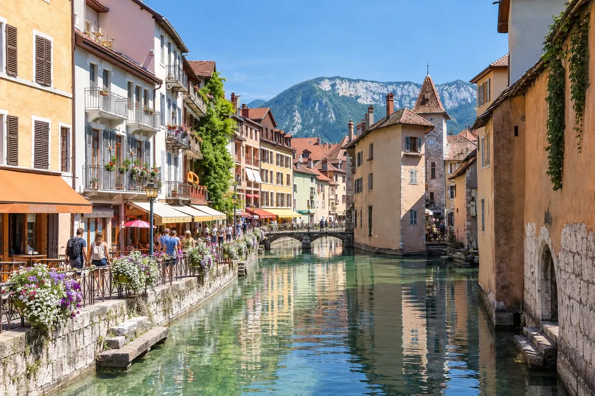
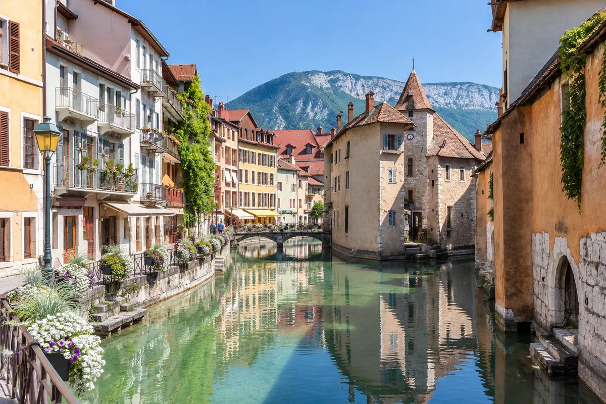
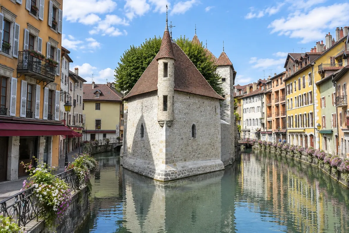
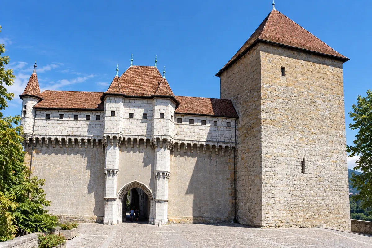
The Château d'Annecy sits above the old town, overlooking the canals. The oldest part, the Tour de la Reine, dates from the 13th century. The castle was the residence of the Counts of Geneva in the 13th and 14th centuries, passed to the House of Savoy in 1401 and, in the 16th century, became the home of the Dukes of Genevois-Nemours, who gave the wings a residential-castle appearance. It later served as a barracks until 1947. The town purchased the complex in 1953 and restored it. Today it houses the Musée-Château, with art and regional history collections, and the Observatoire régional des lacs alpins, which explains the formation, wildlife, and water quality of Alpine lakes, including Lac d'Annecy. From the courtyard and windows you can see the old town roofs and the lake.
Kraji na poti: Château d'Annecy, Tour de la Reine, Musée-Château d'Annecy, Observatoire régional des lacs alpins.
Vključuje: The museum charges admission. Check the current price table.
Nasvet: Good for a rainy day or for the hottest hour of summer. Combine with the walk through the old town: descend the ramp straight to the canals.
Najboljši čas za obisk: Year-round. Confirm weekly closing days outside of summer.
Gorges du Fier: suspended walkway in the canyon
Odhod: Lovagny, about 10 km from Annecy Car, or taxi from Annecy Približno 2 uri skupaj z vožnjo Dopoldne ali popoldne easy (bad for people with vertigo)
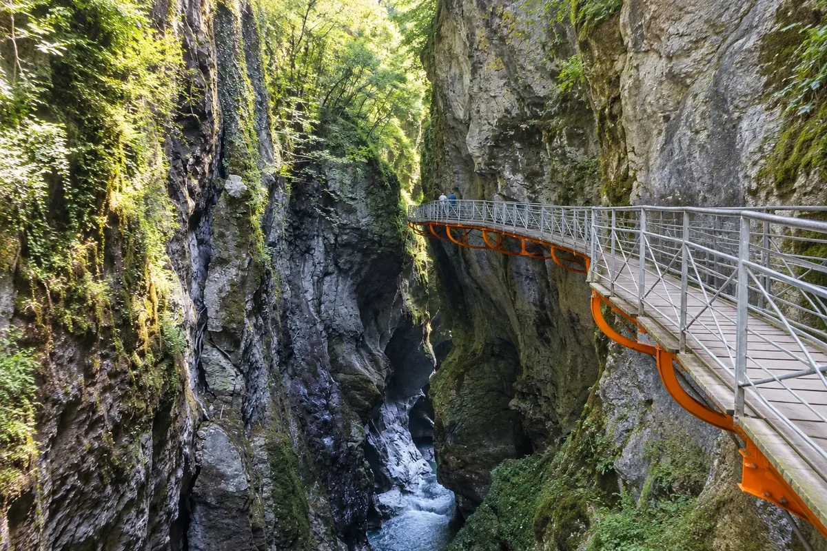
The Gorges du Fier are a narrow canyon carved by the Fier River in Lovagny, about 10 km west of Annecy. The visit is along a 252 m metal walkway attached to the rock wall, about 25 m above the water, opened to the public in 1869. At some points the walls are just over 1 m apart, and the rock shows the rounded marks left by the water. At the end of the route lies the Mer de Rochers, a field of large rock blocks where the Fier calms. The whole route, there and back along the walkway, is about 500 m, with interpretive panels, and takes around 45 minutes to 1 hour. Very close by is the Château de Montrottier, from the 13th century, which watched over one of the few crossings of the Fier.
Kraji na poti: Gorges du Fier, Lovagny, Mer de Rochers, Château de Montrottier.
Vključuje: There is an entrance fee. There is parking at the entrance. Check the current price list.
Nasvet: Wear closed shoes with non-slip soles: the walkway is damp. Bring a jacket, because it is cold inside the canyon even in summer. Go early in July and August.
Najboljši čas za obisk: From mid-March to mid-October, when the site usually opens (confirm).
Château de Menthon-Saint-Bernard
Odhod: Menthon-Saint-Bernard, on the east shore of the lake By car, or by boat to the village and then on foot about 1 hour 30 minutes Popoldne Lahko
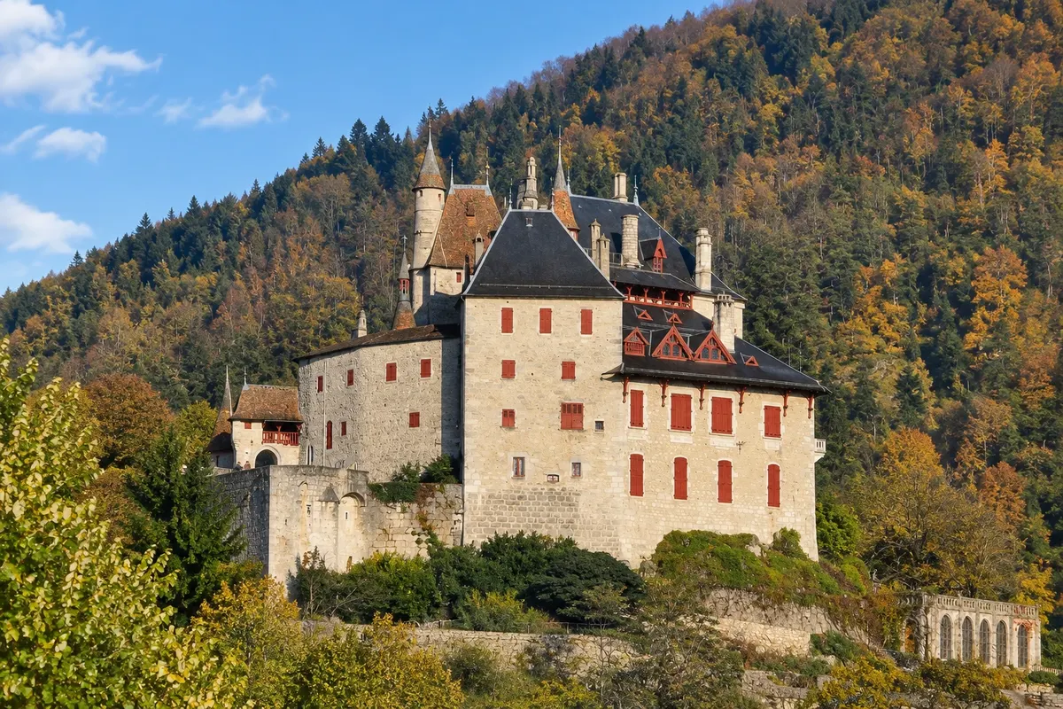
The Château de Menthon-Saint-Bernard sits on a rocky spur above the village of Menthon-Saint-Bernard on the east shore of Lac d'Annecy, with pointed towers visible from the boat. Construction began in the Middle Ages as a fortress to watch over the lake, and it was converted into a residence over the centuries, with a major renovation in the 19th century. The castle has belonged to the same family, the Menthons, for 23 generations; the family still lives in part of it and manages the visits. The name refers to Saint Bernard of Menthon, associated with the family. The route includes the library, with about 12,000 books, Aubusson tapestries, the Salle des pèlerins and the kitchen, which has a 15 m pass-through. There are gardens, a permaculture vegetable garden and a terrace with lake views.
Kraji na poti: Château de Menthon-Saint-Bernard, Menthon-Saint-Bernard, Lac d'Annecy.
Vključuje: There is an entrance fee, with self-guided or guided visits. Check the current price list.
Nasvet: Outside July and August, the castle is only open part of the week and in the afternoons; check the calendar beforehand. The road up to the castle is narrow, but there is parking nearby. Combine with Talloires, a few minutes away.
Najboljši čas za obisk: From April to June and from September to November, on Fridays, Saturdays, Sundays and public holidays; in July and August, every day (confirm).
Talloires and the Col de la Forclaz, on the east shore of the lake
Odhod: Annecy Car, bus or boat to Talloires about 3 to 4 hours Popoldne Lahko
Talloires is a village on the east shore of Lac d'Annecy, in a sheltered bay opposite the Duingt narrows, where the lake divides into the Grand Lac and Petit Lac. The village grew around a Benedictine abbey founded in the 11th century and has a small harbor and waterfront restaurants. Above Talloires the road climbs to the Col de la Forclaz, at 1,150 m, from where you can see the whole lake from above. The pass is one of the main paragliding launch sites in the region: schools offer tandem flights with an instructor. Those who don't fly go up just for the view and to watch the takeoffs.
Kraji na poti: Talloires, Baie de Talloires, Col de la Forclaz, Lac d'Annecy, Duingt.
Vključuje: The stroll through the village has no entrance fee. Tandem paragliding flights, boat and meals are paid separately. Check the current price table.
Nasvet: Go in the late afternoon, when the sun lights the west shore and the mountains on the other side. Tandem paragliding flights depend on the wind and can be canceled the same day. Combine it with Château de Menthon-Saint-Bernard.
Najboljši čas za obisk: From May to September. In July and August, the east-shore road becomes congested on weekends.
Le Semnoz: Annecy’s mountain and the Crêt de Châtillon
Odhod: Annecy Car by the mountain road; in summer, town bus Približno 3 ure Dopoldne ali popoldne easy (short walk uphill)
Semnoz is the mountain that rises directly from the center of Annecy, on the northern tip of the Massif des Bauges, about 16 km long, with its highest point at Crêt de Châtillon, around 1,700 m. It is covered in forest, with alpine pastures at the top, and is part of the Bauges Regional Natural Park. The road leaves Annecy and reaches almost to the summit. From the parking lot, a short walk of under 1 hour round trip leads to Crêt de Châtillon, where an orientation table helps identify what you can see: Mont Blanc, the Aiguille du Midi, the Dent du Géant, the Écrins massif, Lac du Bourget and Lac d'Annecy, the latter appearing best a little below the summit. At the top there is an alpine botanical garden, a small ski area, a summer toboggan and mountain chalets. The road descends the other side to Col de Leschaux, allowing a return to Annecy along the lakeshore.
Kraji na poti: Le Semnoz, Crêt de Châtillon, Massif des Bauges, Lac d'Annecy, Col de Leschaux.
Vključuje: The road and the summit have no access charge. Summer toboggan and meals are paid separately. Check the current price list.
Nasvet: Go up at sunset on a clear sky to see Mont Blanc in low light. In winter the road may require chains; check before you go. In summer, the town bus carries cyclists and hikers to the top.
Najboljši čas za obisk: May to October for the views and walks; in winter, for low mountain snow when present.
Skyway Monte Bianco, in Italy: round trip to Courmayeur via the Mont-Blanc tunnel
Odhod: Chamonix Car or bus through the Mont-Blanc tunnel to Courmayeur, in Italy Približno 6 ur Ves dan easy (altitude 3,466 m)
The Skyway Monte Bianco is in Italy, on the other side of Mont Blanc, in Courmayeur in the Aosta Valley. From Chamonix you reach it via the Tunnel du Mont-Blanc, 11.6 km long, which passes under the massif and exits near Courmayeur. The cable car departs from Pontal d'Entrèves, at 1,300 m, with cabins that rotate 360 degrees during the ascent. The first stop is Pavillon du Mont Fréty, at 2,200 m, with restaurants, a botanical garden, a crystal exhibition and a small museum in the old station; the ride up to there takes about 4 minutes. The second takes about 5 minutes to Punta Helbronner, with a circular terrace at 3,466 m, on the border with France, facing Mont Blanc, the Dent du Géant and the Glacier du Géant. In summer, from Punta Helbronner the Panoramic Mont-Blanc departs, crossing the glaciers to the Aiguille du Midi: it is possible to do the complete high-altitude crossing between France and Italy and return to Chamonix via the tunnel in a long day; check bus schedules.
Kraji na poti: Tunnel du Mont-Blanc, Courmayeur, Pontal d'Entrèves, Pavillon du Mont Fréty, Punta Helbronner, Glacier du Géant.
Vključuje: There is a ticket for the cable car. The tunnel toll, for those driving, and the bus are paid separately. Check the current price table.
Nasvet: Bring your passport: the excursion is in Italy. The tunnel has scheduled closures for works, sometimes lasting weeks; confirm before going. As on the top of the Aiguille du Midi, it is cold and the altitude is felt: ascend without haste.
Najboljši čas za obisk: All year round, with maintenance closures from mid-October to early December (confirm). The Panoramic Mont-Blanc crossing usually operates from July to September.
Chamonix center and Musée du Mont-Blanc
Odhod: Chamonix (center) Peš about 2 to 3 hours Dopoldne ali popoldne Lahko
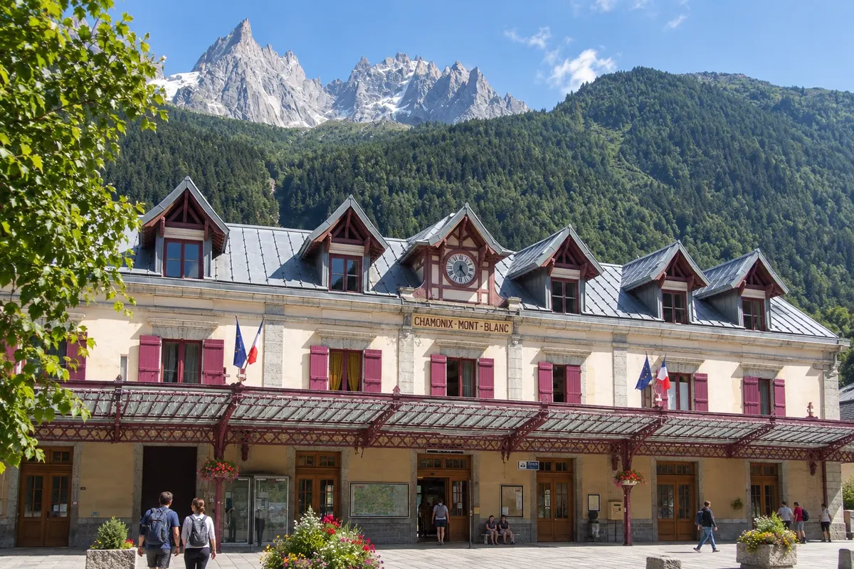
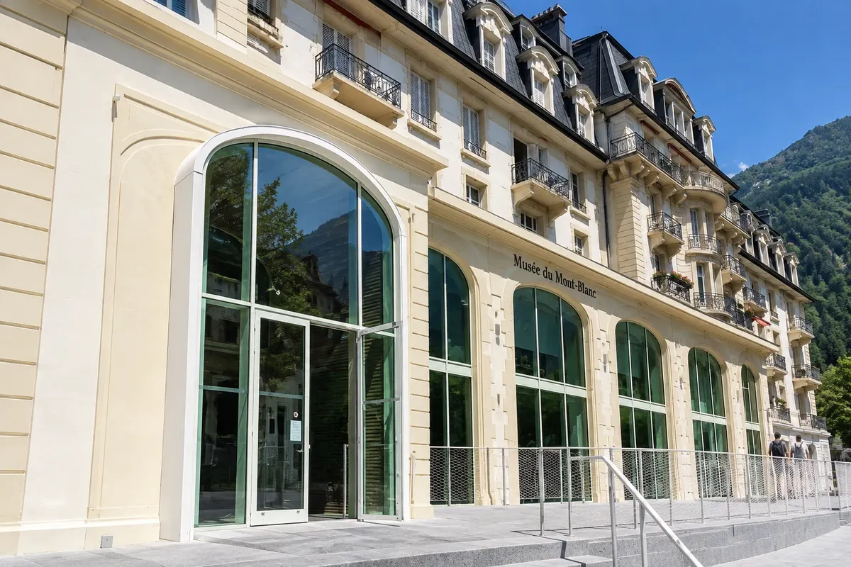
Chamonix-Mont-Blanc is one of France’s oldest mountain resorts and hosted the first Winter Olympic Games in 1924. The center, at 1,035 m, is small and walked easily along the Arve River, with outdoor-equipment shops and cafés, always with the Mont Blanc massif in the background. The Musée du Mont-Blanc occupies the former Musée Alpin, created about a hundred years ago, and after a long renovation now has roughly 1,800 m² of exhibition space about the valley’s history, the conquest of Mont Blanc, mountaineering, and skiing. The Musée des Cristaux displays crystals and minerals from the Mont Blanc massif, and guided visits with crystallographers are offered. It’s the natural program for arrival day, for a low-cloud day when the cable cars lose the view, or for late afternoon after a day on the mountain.
Kraji na poti: Chamonix-Mont-Blanc, Musée du Mont-Blanc, Arve River, Musée des Cristaux.
Vključuje: The stroll through the center has no admission fee. Museums charge admission; the carte d'hôte gives a discount at the Musée des Cristaux. Check the current schedule/prices.
Nasvet: Leave the museums for a cloudy day and use a clear‑sky day for the climb. At the tourist office in town center, check the mountain forecast and the condition of trails and cable cars.
Najboljši čas za obisk: All year round. In July, August and during winter holidays, the center becomes very busy.


 Brazilija
 Antarktika
 Argentina
 Bolivija
 Čile
 Kolumbija
 Ekvator
 Gvajana
 Francoska Gvajana
 Falklandski otoki (Malvini)
 Paragvaj
 Peru
 Surinam
 Urugvaj
 Venezuela
 Nemčija
 Avstrija
 Belgija
 Hrvaška
 Danska
 Slovaška
 Slovenija
 Španija
 Finska
 Grčija
 Nizozemska
 Madžarska
 Irska
 Islandija
 Italija
 Luksemburg
 Norveška
 Poljska
 Portugalska
 Združeno kraljestvo
 Češka
 Švedska
 Švica
 Turčija
 Bermudi
 Kanada
 Združene države Amerike
 Grenlandija
 Mehika
 Sveta Peter in Mihael
 Dominikanska republika
 Japonska
 Južnoafriška republika
 Egipt
 Avstralija
 Fidži
 Nova Zelandija
 Papua Nova Gvineja