Revelstoke and Kootenay

British Columbia · Kanada

Revelstoke and Kootenay

The mountains of southeastern British Columbia: flower-filled meadows high on Mount Revelstoke, giant cedars, Rogers Pass and the hot springs of Radium.

British Columbia

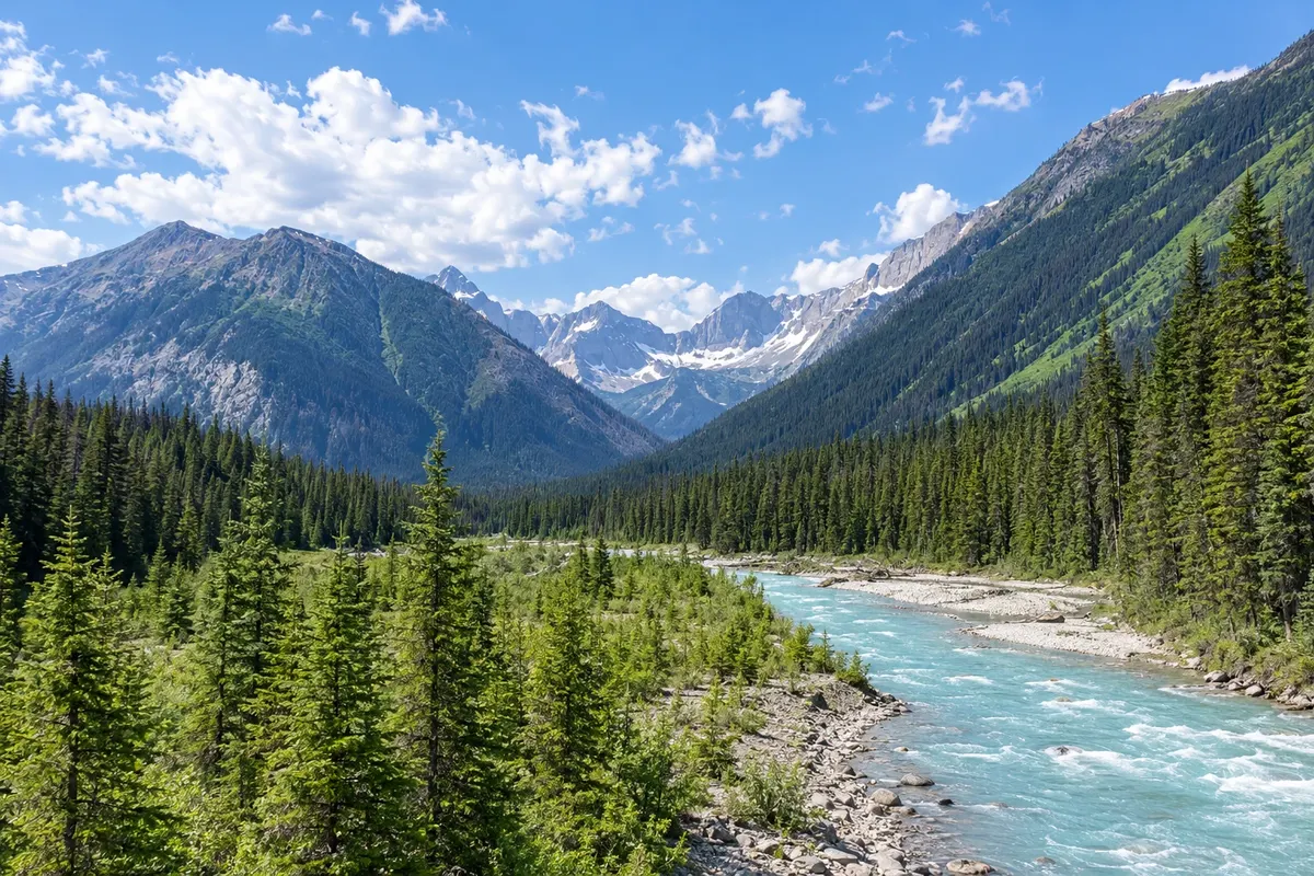
Na fotografiji: Kootenay River valley, in the national park.

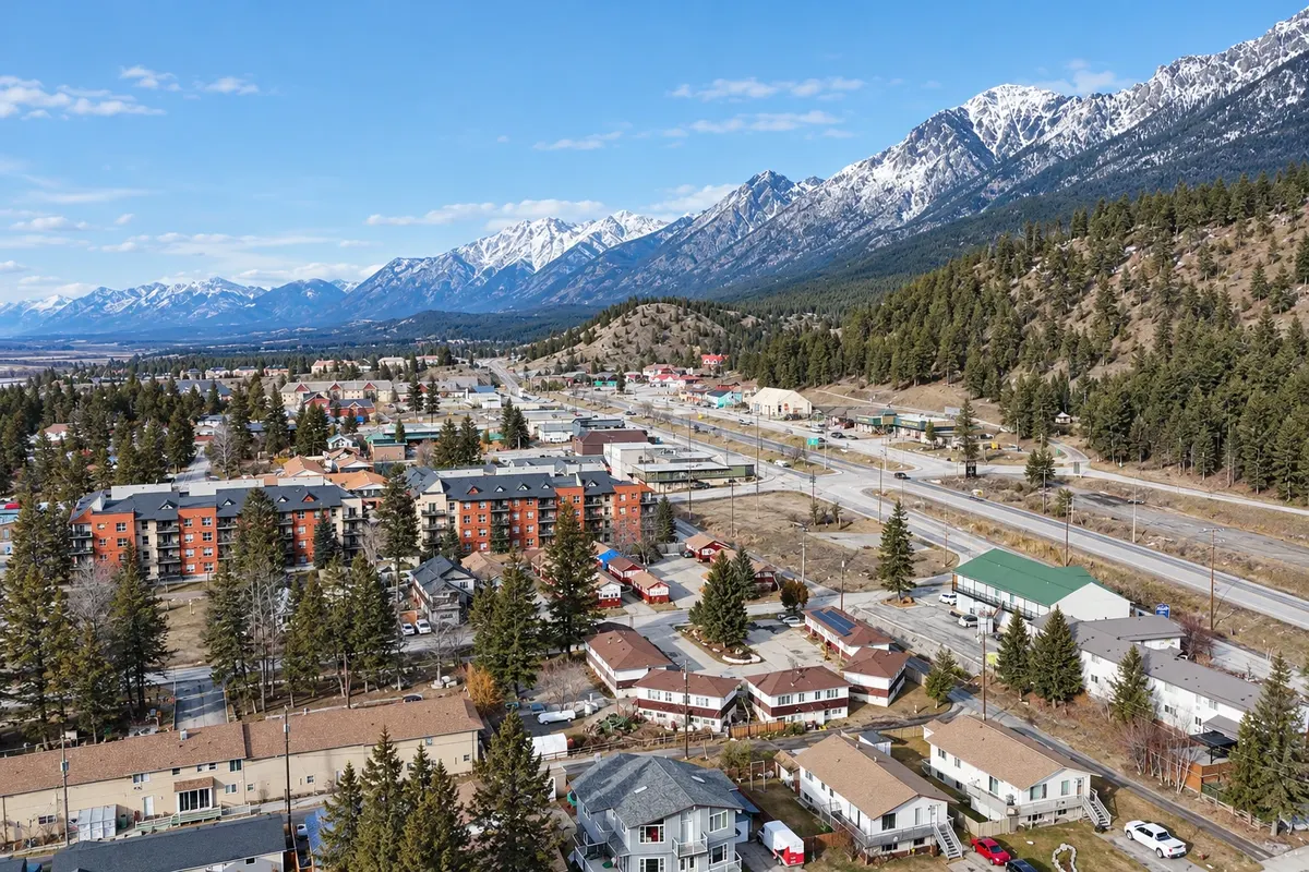
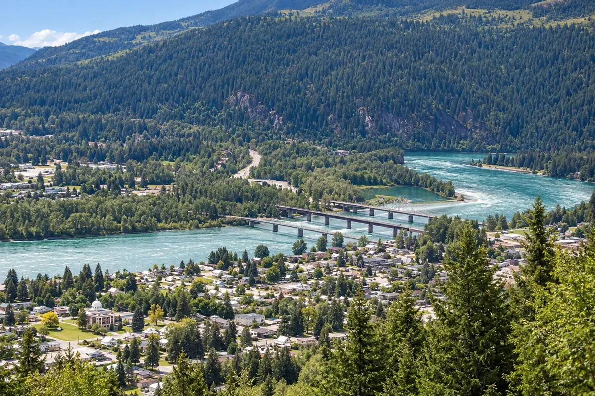
Illustrative images. The pictures in this guide are illustrations based on the real place, not photographs, and may differ from it.

Na voljo v trgovini Google Play Pošljite svoje fotografije

Spoznajte kraj

Pokrajina, ki jo doživite
v svojem ritmu.

Southeastern British Columbia is a region of parallel mountain ranges, the Columbia and the Rockies, separated by deep valleys with rivers and lakes. Revelstoke sits on the Columbia River, between the Monashee and Selkirk mountains, and Radium Hot Springs lies in the Columbia Valley at the gateway to Kootenay National Park.

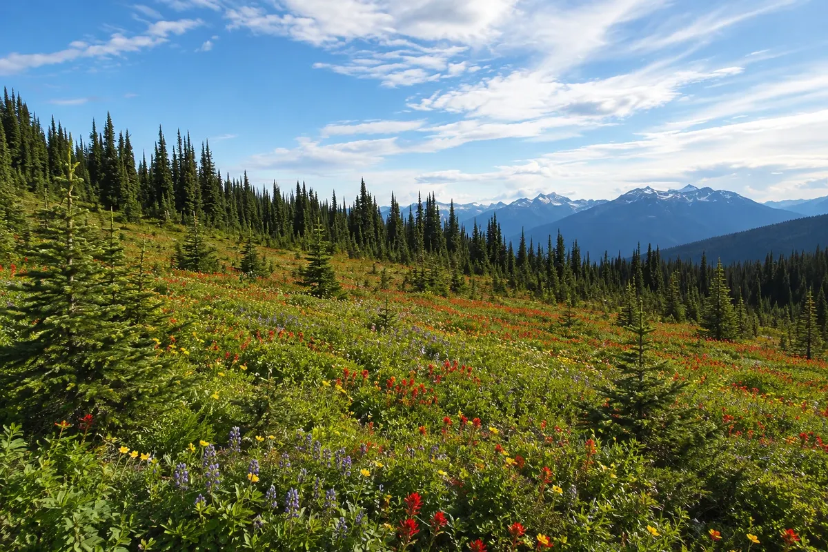
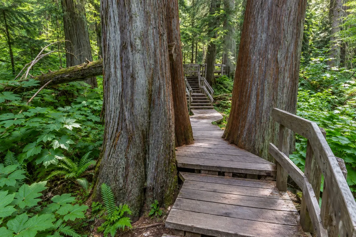
In Revelstoke, a road climbs Mount Revelstoke to meadows that are carpeted with wildflowers at the height of summer. Near town, boardwalks cross damp cedar forests with trees hundreds of years old. To the east, the Trans-Canada Highway crosses Rogers Pass in Glacier National Park, where the transcontinental railway dealt with avalanches in the 19th century. In winter, Revelstoke is a ski destination with heavy snowfall.

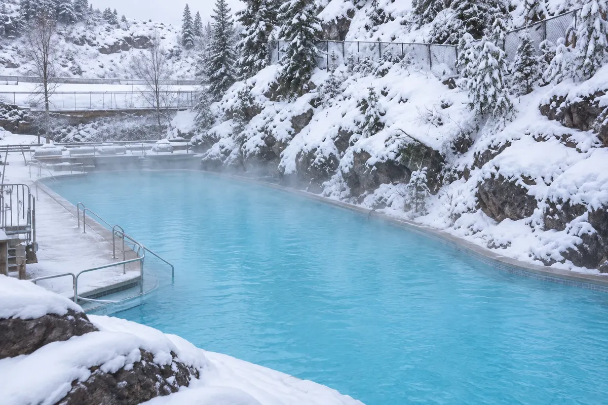
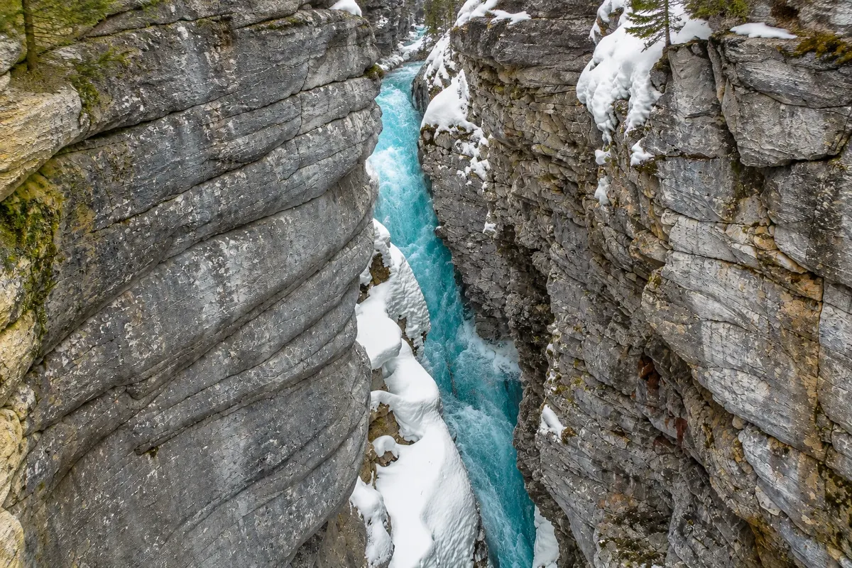
Kootenay National Park descends from the Rockies to Radium along a road with canyons and viewpoints. Marble Canyon has narrow limestone walls, and the Paint Pots are springs with ochre clay. In Radium, thermal pools sit at the base of the Sinclair Canyon cliffs.

The region pairs well with Banff, Lake Louise and the Okanagan Valley.

This destination brings together 2 cities: Radium Hot Springs, Revelstoke.

Delite: WhatsApp
Delite svoja popotniška doživetja s fotografijami Pošljite fotografije vsakega kraja, ki ste ga obiskali. Največje število fotografij na kraj: 5.

Ena destinacija, več poti

Mesta na tej poti

Začnite v enem mestu ali v načrt poti vključite več mest.

Revelstoke and Kootenay – lega
Radium Hot SpringsRevelstoke

Meje: Statistics Canada (Statistics Canada Open Licence) / geoBoundaries. Priredba: Cidade Turismo.

Kako do tja:Revelstoke and Kootenay

✈ Calgary International Airport (YYC), kraj: Calgary· 250 km do cilja (Radium Hot Springs)

Revelstoke is about 565 km from Vancouver and about 200 km from Kelowna (YLW), which has the nearest airport. Radium Hot Springs is about 250 km from Calgary (YYC), via Banff and Kootenay National Park.

Predlagana točka prihoda:Radium Hot Springs

Doživite kraj

Kaj početi – Revelstoke and Kootenay

Radium Hot Springs
Radium Hot Springs · British Columbia · Hot spring

Radium Hot Springs

Kootenay National Park’s thermal pools at the base of the Sinclair Canyon cliffs, with one hot pool and one cooler pool.

Mount Revelstoke and Meadows in the Sky
Revelstoke · British Columbia · National park

Mount Revelstoke and Meadows in the Sky

National park with a 26‑km road that reaches near the summit of Mount Revelstoke, where alpine meadows are carpeted with wildflowers in late July and August.

Marble Canyon and Paint Pots
Radium Hot Springs · British Columbia · Soteska

Marble Canyon and Paint Pots

A narrow limestone canyon with bridges over the gorge and, nearby, iron-rich springs that stain the ground ochre, in Kootenay National Park.

Giant Cedars Boardwalk
Revelstoke · British Columbia · Kolesarska in pešpot

Giant Cedars Boardwalk

A roughly 500‑meter wooden boardwalk through an inland temperate rainforest of western red cedars over 500 years old, in Mount Revelstoke National Park, adjacent to the Trans-Canada Highway.

Revelstoke and Kootenay – prikaži še 1 kraj
Rogers Pass
Revelstoke · British Columbia · Historic site

Rogers Pass

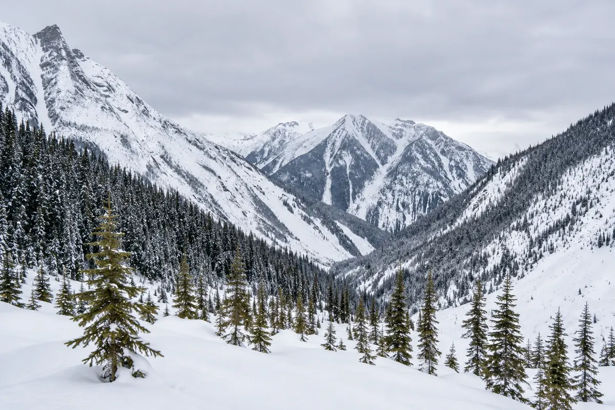
Mountain pass in Glacier National Park, crossed by the Trans-Canada Highway and the railway, with a visitor centre, ruins of the old railway and trails beneath glaciers.

Pred odhodom

Praktične informacije

Z nekaj načrtovanja boste imeli več časa za uživanje na poti.

Kdaj se odpraviti

From July to September, with the Mount Revelstoke road open to the summit and flowers in late July and August. From December to April, the region hosts skiers. In summer, wildfire smoke can appear on some days.

The seasons shown are the most usual ones; nature doesn't always follow the calendar.

Koliko dni ostati

Four days: two in Revelstoke, for Mount Revelstoke, the cedars and Rogers Pass, and two in Radium and Kootenay National Park.

V katerem mestu prenočiti

Revelstoke has hotels and B&Bs in the historic downtown and near the ski area. Radium Hot Springs has motels and hotels at the park entrance. Golden, between the two, offers lodging on the Trans-Canada Highway.

Spoštujte kraj

Odnesite svoje odpadke, upoštevajte oznake in podprite lokalne ponudnike. V naravi upoštevajte navodila za obiskovalce.

Odgovori na vaša vprašanja

Pogosta vprašanja – Revelstoke and Kootenay

When is the Mount Revelstoke road open to the summit?

Generally from mid-July to September, depending on snow.

Do you need a car in Revelstoke and Kootenay?

Yes. Attractions are in national parks along roads.

What is the distance from Revelstoke to Radium Hot Springs?

About 250 km, passing through Golden, roughly a 3-hour drive.

Are the Radium hot springs open year-round?

Yes, generally; check maintenance days before you go.

What time zone are Revelstoke and Radium in?

Revelstoke observes Pacific Time year-round: UTC−7. Radium Hot Springs and Kootenay National Park observe Alberta Time year-round: UTC−6.

Odkrijte druge destinacije Iskanje po zvezni državi in mestu

Več kot vodnik