Inuvik and Tuktoyaktuk

Northwest Territories · Kanada

Inuvik and Tuktoyaktuk

The western Canadian Arctic: Inuvik and its igloo-shaped church, the road to the Arctic Ocean at Tuktoyaktuk, the pingos and the midnight sun.

Northern Canada

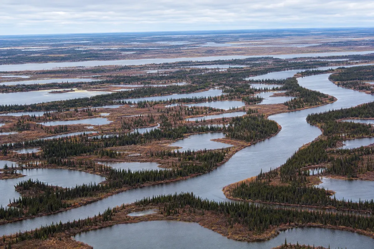
Na fotografiji: Channels and islands of the Mackenzie delta, near Inuvik.

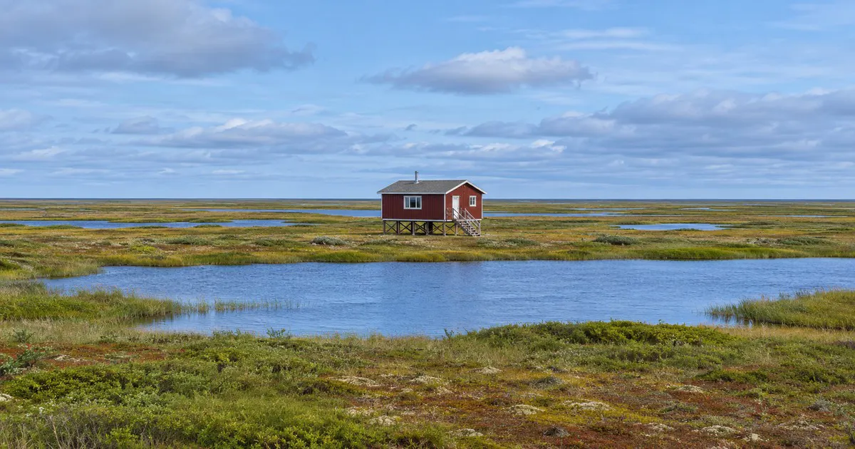
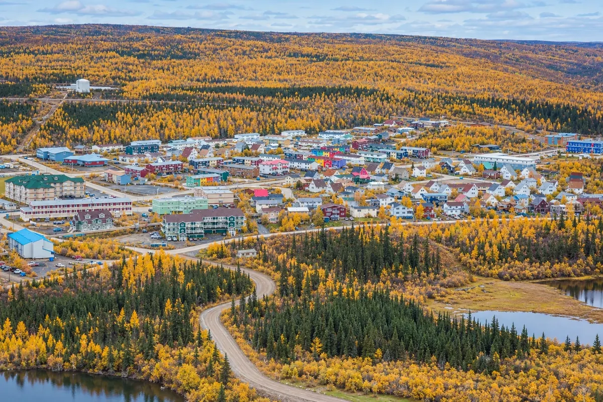
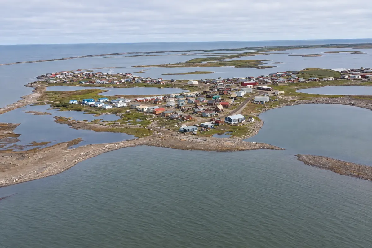
Illustrative images. The pictures in this guide are illustrations based on the real place, not photographs, and may differ from it.

Na voljo v trgovini Google Play Pošljite svoje fotografije

Spoznajte kraj

Pokrajina, ki jo doživite
v svojem ritmu.

Inuvik sits on the Mackenzie River delta, about 200 km north of the Arctic Circle, in the Northwest Territories. It was built in the 1950s as a planned town, on pilings because of permafrost, with water and sewer pipes above ground. It is the main town of Canada’s western Arctic, with Inuvialuit, Gwichʼin and other populations.

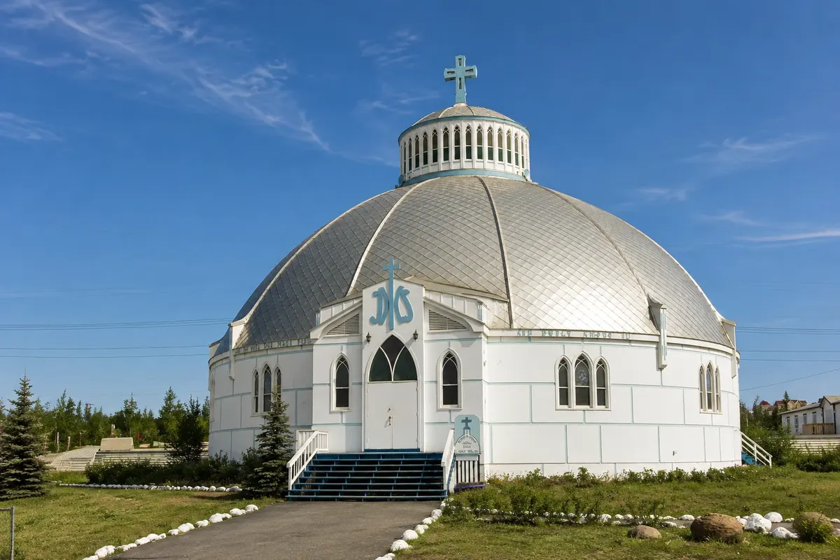
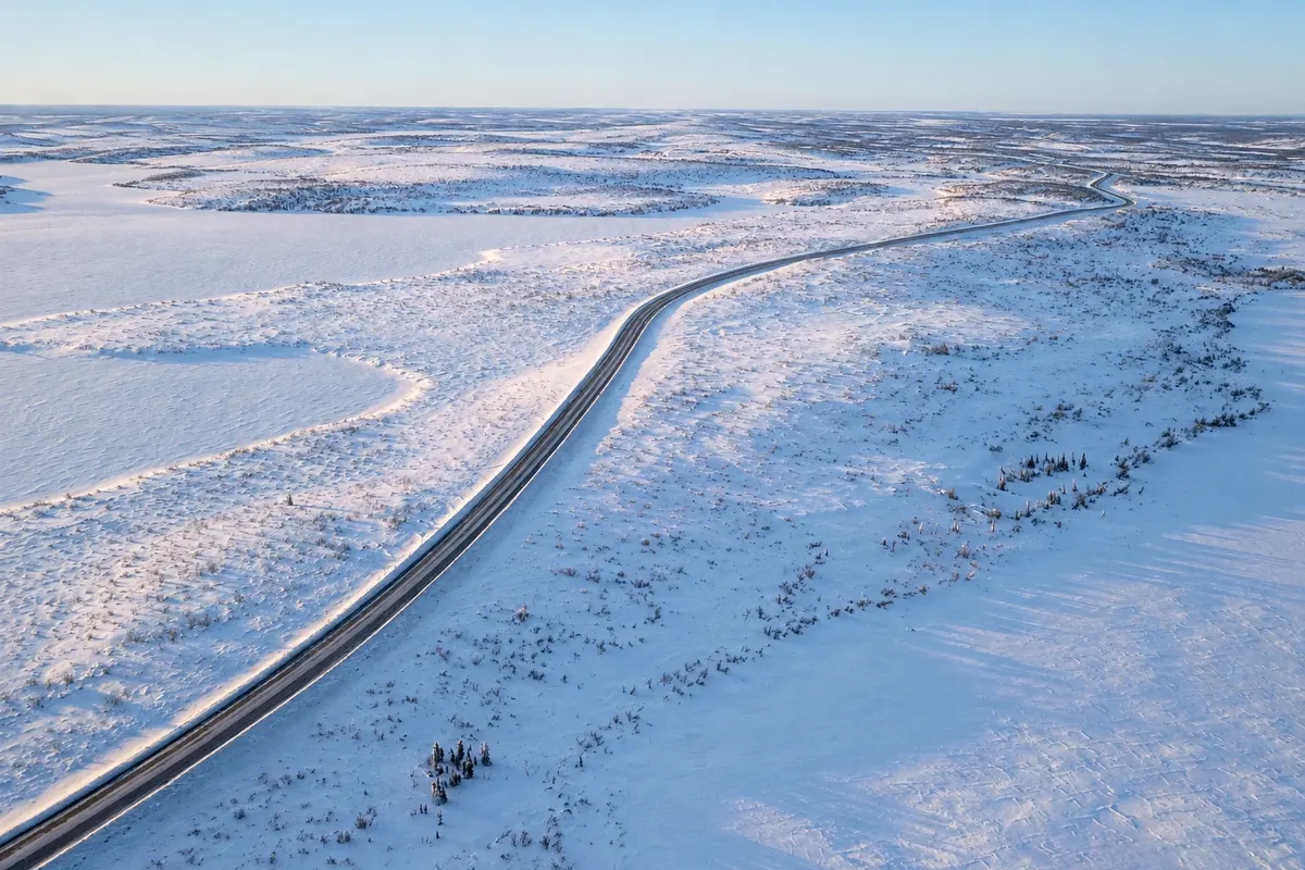
The town’s symbol is the Our Lady of Victory church, in the shape of an igloo. Inuvik is the terminus of the Dempster Highway, which runs about 740 km of gravel from Dawson City in Yukon. In 2017, a new roughly 138 km road linked Inuvik to Tuktoyaktuk, making it possible to reach the Arctic Ocean by car.

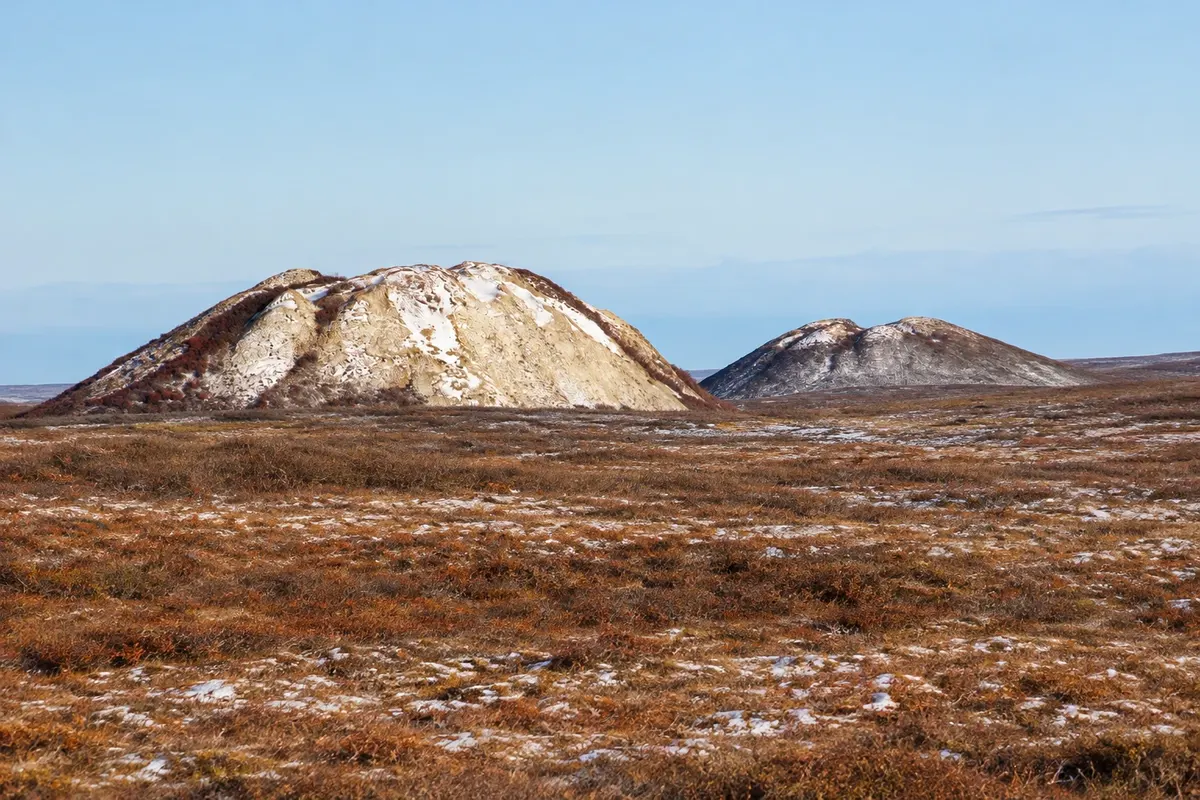
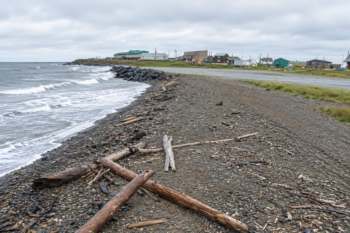
Tuktoyaktuk is an Inuvialuit community on the Beaufort Sea, surrounded by pingos, hills of earth-covered ice that rise from the flat tundra. Many visitors go to the shoreline to put a foot or a hand in the Arctic water.

From late May to late July the sun does not set in Inuvik; in December and early January it does not rise.

This destination brings together 2 cities: Inuvik, Tuktoyaktuk.

Delite: WhatsApp
Delite svoja popotniška doživetja s fotografijami Pošljite fotografije vsakega kraja, ki ste ga obiskali. Največje število fotografij na kraj: 5.

Ena destinacija, več poti

Mesta na tej poti

Začnite v enem mestu ali v načrt poti vključite več mest.

Inuvik and Tuktoyaktuk – lega
InuvikTuktoyaktuk

Meje: Statistics Canada (Statistics Canada Open Licence) / geoBoundaries. Priredba: Cidade Turismo.

Kako do tja:Inuvik and Tuktoyaktuk

✈ Inuvik Mike Zubko Airport (YEV)· 14 km do cilja (Inuvik)

Inuvik Airport (YEV) has flights from Yellowknife, Whitehorse and other cities. By car, via the Dempster Highway, it’s about 780 km from Dawson City, with ferries on the rivers in summer.

Predlagana točka prihoda:Inuvik

Doživite kraj

Kaj početi – Inuvik and Tuktoyaktuk

Igloo Church
Inuvik · Northwest Territories · Cerkev

Igloo Church

Our Lady of Victory Catholic Church, from 1960, in the shape of an igloo, built by volunteers on a base that protects the permafrost, with paintings by an Inuvialuit artist.

Ibyuk Pingo
Tuktoyaktuk · Northwest Territories · Geological site

Ibyuk Pingo

Ice-cored hills covered with soil that rise from the tundra near Tuktoyaktuk, protected as a natural landmark; the largest is about 49 meters tall.

Inuvik–Tuktoyaktuk Highway
Inuvik · Northwest Territories · Scenic route

Inuvik–Tuktoyaktuk Highway

A gravel road of about 138 km opened in 2017 across tundra and permafrost, the first to reach the Arctic Ocean in Canada.

Arctic Ocean sign
Tuktoyaktuk · Northwest Territories · Waterfront

Arctic Ocean sign

The tip of Tuktoyaktuk on the shore of the Beaufort Sea, with the Arctic Ocean sign where visitors arriving by road put a hand or a foot in the water.

Pred odhodom

Praktične informacije

Z nekaj načrtovanja boste imeli več časa za uživanje na poti.

Kdaj se odpraviti

Mid-June to August, with the midnight sun, open roads and mild temperatures. Late August and September bring tundra colors and the first auroras. During river break-up and freeze-up, the Dempster Highway can close.

The seasons shown are the most usual ones; nature doesn't always follow the calendar.

Koliko dni ostati

Three or four days: one or two in Inuvik and one or two to go to Tuktoyaktuk.

V katerem mestu prenočiti

Inuvik has hotels and guesthouses downtown. Tuktoyaktuk has few accommodations, in houses and small guesthouses; many visitors make a day trip from Inuvik.

Spoštujte kraj

Odnesite svoje odpadke, upoštevajte oznake in podprite lokalne ponudnike. V naravi upoštevajte navodila za obiskovalce.

Odgovori na vaša vprašanja

Pogosta vprašanja – Inuvik and Tuktoyaktuk

Can you drive to the Arctic Ocean?

Yes, via the roughly 138 km road between Inuvik and Tuktoyaktuk, opened in 2017.

When is the midnight sun in Inuvik?

From late May to late July.

Is the Dempster Highway paved?

No, it’s dirt and gravel, about 740 km from its start near Dawson City to Inuvik.

Do you need a car in Inuvik?

In town, no. For Tuktoyaktuk, yes, or take a tour.

What time zone is Inuvik in?

Fixed year‑round: UTC−6, the same as Alberta.

Odkrijte druge destinacije Iskanje po zvezni državi in mestu

Več kot vodnik