
Before you go
Your trip to Quatro Barras.
Illustrative images. The pictures in this guide are illustrations based on the real place, not photographs, and may differ from it.

Quatro Barras – PR
How to get there
-
Aeroporto Internacional Afonso Pena (CWB) São José dos Pinhais
Approximate road distances. Check flights and bus schedules before you travel.
Road access to Quatro Barras is via BR-116. For Borda do Campo and the visitor base of Serra da Baitaca, follow local signage. Aeroporto Internacional Afonso Pena, in São José dos Pinhais, serves the region; the transfer to the town needs to be arranged separately.
How many days
Reserve one day for the historic stretch of the Graciosa and its bridges. Add another day if you choose to climb Anhangava. The Itupava hike requires separate planning and should not be squeezed into the time reserved to visit the bridges.
When to go
Choose periods with stable forecasts for hiking in Serra da Baitaca. Fog can obscure the Anhangava views, and rain changes the conditions of rocks and trails. Confirm the park's entry rules before setting out.
Do you need a car?
A car makes travel between the center, the historic Graciosa axis and Borda do Campo easier. The ascent of Anhangava and the Itupava are on-foot activities, accessed via official trails. Plan return transportation if the hike ends at a different point.
Suggested itinerary
An order that works
Built with the places on this page. No rush: it's paced so you have time to see them.
One day in Quatro Barras
-
Durante o dia
Bridges of the original stretch
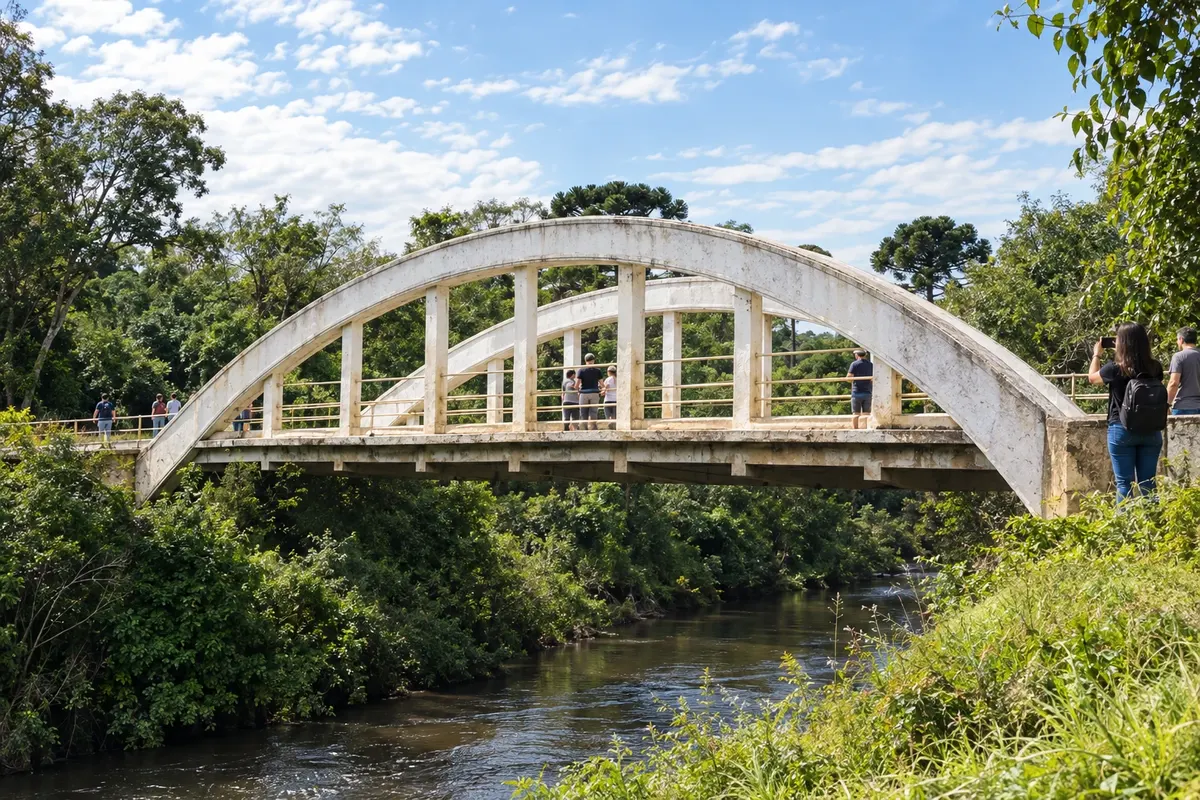
Travel the historic axis of Estrada da Graciosa in Quatro Barras, observing Ponte do Arco and Ponte do Rio Taquari. Choose permitted parking spots and follow the marked circulation, without stopping on the bridges.
2 days in Quatro Barras
Day 1
-
Durante o dia
Graciosa heritage on the plateau
Dedicate the first outing to the historic bridges and the landscapes of the Graciosa's original stretch. Visiting Arco and Rio Taquari does not require turning the itinerary into a mountain crossing.
Day 2
-
Durante o dia
Anhangava trail
In Borda do Campo, register at the Serra da Baitaca base and choose the official Anhangava trail according to your fitness. Check the forecast and time limits; Itupava is left for a separately planned hike.
Check before you go. Opening hours and days change, and places may close for renovations, holidays or events. This itinerary is a suggestion from Cidade Turismo, not a commitment: plan yours by checking directly with each place you intend to visit.
Before you go
Frequently asked questions
What sets Quatro Barras apart on the Graciosa route?
The town preserves stretches of the old route on the plateau and bridges such as Arco and Rio Taquari. Your visit can take place before reaching Portal da Graciosa and descending the scenic road.
Which conservation unit does Anhangava belong to?
The hill is part of Parque Estadual da Serra da Baitaca. Visitor access is via the Borda do Campo area, with registration at the environmental agency's base and use of official trails.
Is Itupava a drive?
No. It is a historic route for walking, with stone sections in the Atlantic Forest. The activity requires assessment of the route, fitness level and return logistics before starting.
Can I visit the bridges and climb Anhangava on the same visit?
They are programs on different axes of the municipality. For a first trip, separate the historic driving tour from the mountaineering day, avoiding shortening the time needed for the hike.
How to prepare a visit to Baitaca on rainy days?
Check the forecast and access conditions, bring appropriate equipment and confirm the entry schedule. The route must be compatible with your fitness and the conditions encountered that day.