
trail · Soure, PA
Mata do Bacurizal e Lago dos Guarás
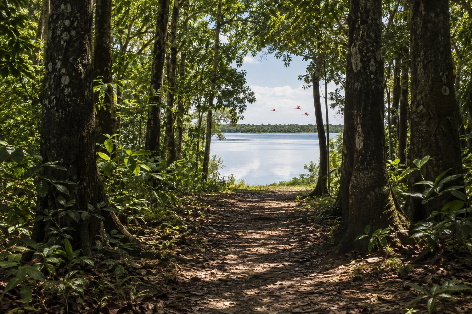
A trail through native forest of bacuri trees that ends at a lake where flocks of scarlet ibises arrive in the late afternoon. Tours are guided by local residents.
Illustrative images. The pictures in this guide are illustrations based on the real place, not photographs, and may differ from it.
Discover
About Mata do Bacurizal e Lago dos Guarás
The Mata do Bacurizal is in Salvaterra, Soure's neighboring town, across the Rio Paracauari, on Marajó Island. The area's official name is the Reserva Ecológica da Mata do Bacurizal e do Lago Caraparu. It was created by municipal law in 1987 and is managed by the Salvaterra city government to protect nature and host research, environmental education and ecotourism.
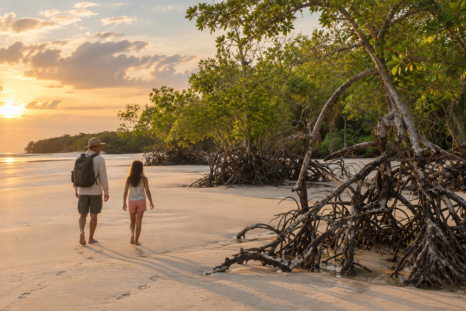
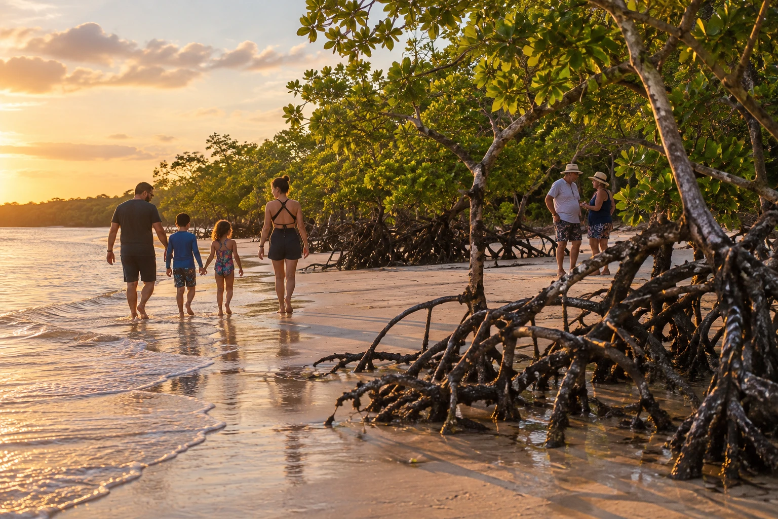
The main outing is the Trilha da Mata do Bacurizal, about 4 km long. The path passes through several Marajó environments in sequence: upland forest, natural grasslands, mangroves, restinga (coastal scrub) and beach. Along the way you will see trees typical of the region, such as the bacuri, which gives the place its name, the açaí palm and the inajá palm.
The reserve also includes Lago Caraparu, a dark-water lake that drains into Marajó Bay. The mangrove is a good place to watch birds and crabs.
The trail is done on foot, over forest ground, sand and mangrove mud. It requires moderate stamina and is not wheelchair accessible. It is best to go with a local guide, who knows the way and the stories of the forest.
Before you go
Practical information
How much time to set aside
Allow a morning or an afternoon to walk the trail at a relaxed pace.
Best time
In the less rainy season, from mid to late year, when the trail is less flooded; early morning or late afternoon is less hot.
How to get there
It is in the municipality of Salvaterra, next to Soure. From Soure, cross the Rio Paracauari by ferry or boat to Salvaterra and continue overland to the reserve. Ask a local guide to point out where the trail starts.
Tip
Go with a guide from Salvaterra or Soure, wear closed shoes that can get wet and bring insect repellent and water.
A look at the place
Mata do Bacurizal e Lago dos Guarás in pictures
These pictures are illustrations based on the real place, not photographs. They may differ from the place.
Click the picture to enlarge it.
Get your questions answered
Frequently asked questions about Mata do Bacurizal e Lago dos Guarás
Is the Mata do Bacurizal in Soure?
No. It is in Salvaterra, the neighboring town. From Soure, you have to cross the Rio Paracauari by ferry or boat.
How long is the trail?
The Trilha da Mata do Bacurizal is about 4 km long and passes through forest, grassland, mangroves, restinga and beach.
Do I need a guide?
It is recommended to go with a local guide, who knows the way and the reserve's nature.
Is the trail hard?
It takes moderate effort, on foot, with stretches of sand and mangrove mud. It is not wheelchair accessible.
What should I bring?
Closed shoes that can get wet, insect repellent, sunscreen and water.