
river · Morretes, PR
Rio Nhundiaquara e Porto de Cima
It rises in the Serra do Marumbi and runs 37 kilometers to the Baía de Antonina, becoming navigable from the district of Porto de Cima. A former trade route between the plateau and the coast, today it draws people for tubing, canoeing and rafting.
Illustrative images. The pictures in this guide are illustrations based on the real place, not photographs, and may differ from it.
Discover
About Rio Nhundiaquara e Porto de Cima
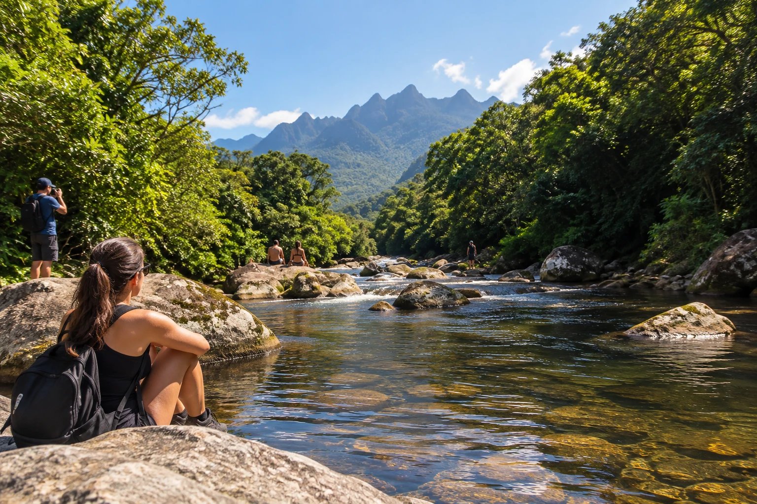
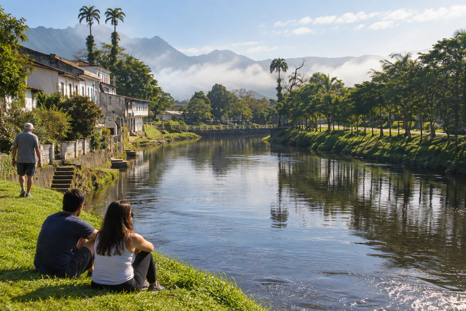
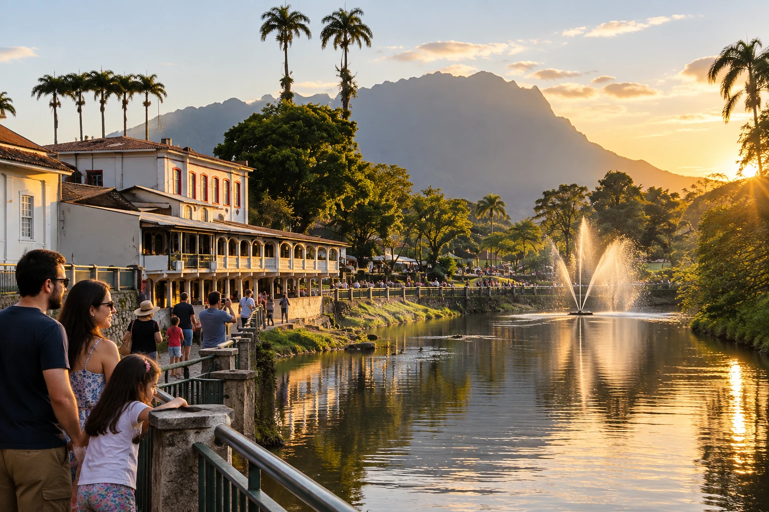
The Rio Nhundiaquara comes down from the Serra do Marumbi, crosses Morretes and continues to the Baía de Antonina. It is the river that defines the town: it flows wide and gentle through the historic center and, upriver, becomes a stream of cold water and rapids among rocks and Atlantic Forest.
For a long time it was a trade route. Goods from Curitiba came down the mountains, along the Caminho do Itupava and later the Estrada da Graciosa, and were carried by boat down the river, then called Cubatão, to Antonina and Paranaguá. The district of Porto de Cima, a few kilometers above downtown, keeps the name of this old river port, and it is from there that the river becomes navigable for small boats.
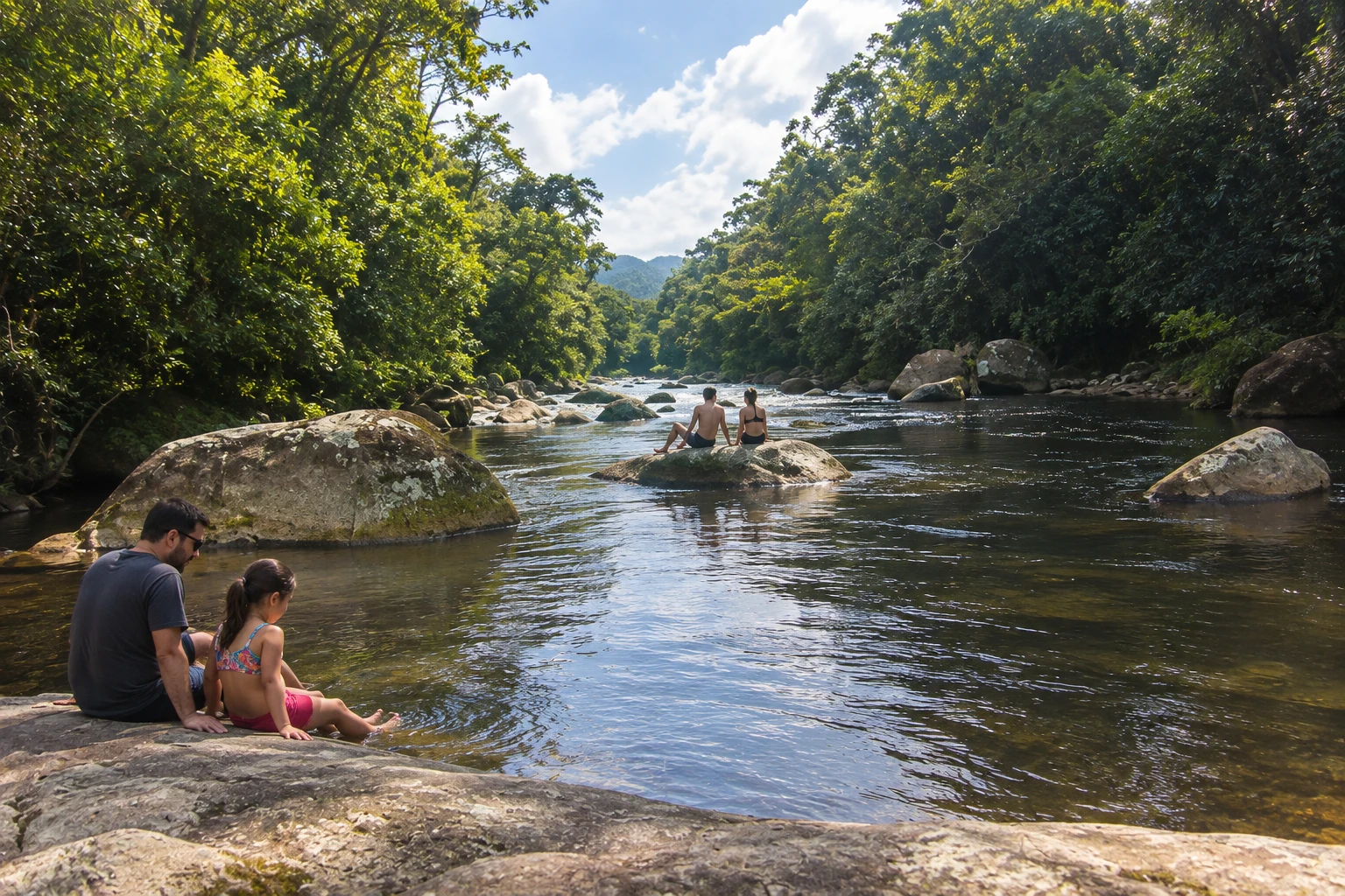
Today the Nhundiaquara draws people for swimming, canoeing, rafting and above all boia-cross (river tubing): riding the rapids sitting in an inner tube, usually starting in Porto de Cima and ending near downtown. In the town stretch there are short boat trips, and the riverfront is good for walking. Upriver are swimming holes such as Poço do Belga and the Santuário Nhundiaquara park.
Tubing requires no experience, but the river rises quickly with rain in the mountains. By municipal law, a life jacket and helmet are mandatory on the descent.
Before you go
Practical information
How much time to set aside
The tubing trip takes a morning or an afternoon; a walk along the riverfront downtown takes less than an hour.
Best time
In summer, on hot days with settled weather, when the cold water is refreshing and the rapids are good for tubing; avoid the days after heavy rain in the mountains, when the river rises and becomes dangerous.
How to get there
The river runs through the historic center of Morretes, about 70 km from Curitiba via the BR-277 or the Estrada da Graciosa. Porto de Cima is a few kilometers upriver, reached by road from downtown; tubing companies usually take participants to the starting point.
Tip
Go down the river with a company that provides a life jacket and helmet, and wear shoes that can get wet, because the rocks are slippery. If it rains hard in the mountains, leave the trip for another day.
A look at the place
Rio Nhundiaquara e Porto de Cima in pictures
These pictures are illustrations based on the real place, not photographs. They may differ from the place.
Click the picture to enlarge it.
Get your questions answered
Frequently asked questions about Rio Nhundiaquara e Porto de Cima
Where can I go river tubing in Morretes?
On the Rio Nhundiaquara. The run usually starts in the district of Porto de Cima and goes downriver toward downtown Morretes. Several local companies rent the tubes and gear.
Is river tubing on the Rio Nhundiaquara dangerous?
It is an easy activity in normal conditions, but the river rises quickly with rain in the mountains. A life jacket and helmet are required by municipal law, and it is best to go with a local company.
Can you swim in the Rio Nhundiaquara?
Yes. Swimming is common in the upriver stretches, in Porto de Cima and in swimming holes such as Poço do Belga. The water is cold and the rocks are slippery; avoid it after heavy rain.
What is Porto de Cima, in Morretes?
It is a district of Morretes upriver that was a river port in the days when goods came down the mountains and went by boat along the Nhundiaquara to the bay. Today it is the starting point for river tubing and has swimming holes.
Where does the Rio Nhundiaquara rise?
In the Serra do Marumbi, in Morretes. The river runs about 37 km before emptying into the Baía de Antonina.