
scenic route · Morretes, PR
Estrada da Graciosa
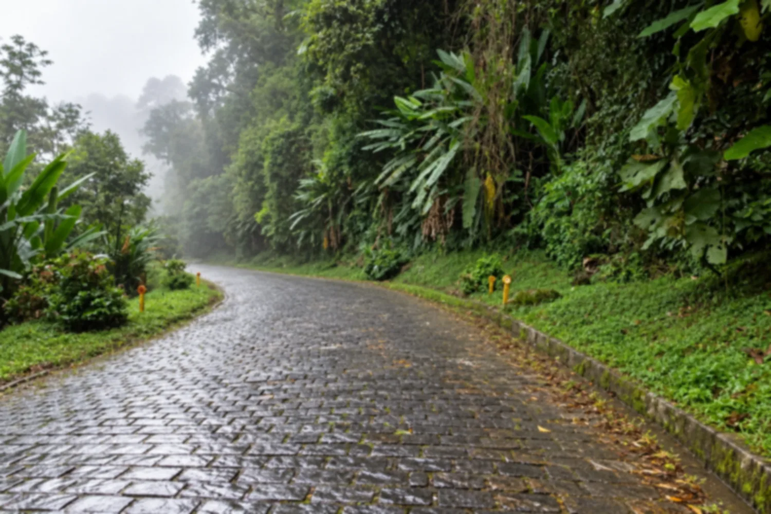
An old road, partly paved with stones, that crosses the Serra do Mar between Curitiba and the coast, with rest areas and viewpoints along the way. It is the scenic alternative to the fast highway.
Illustrative images. The pictures in this guide are illustrations based on the real place, not photographs, and may differ from it.
Discover
About Estrada da Graciosa
The Estrada da Graciosa, the PR-410, is the old route between the Curitiba plateau and the Paraná coast. It descends the Serra do Mar from Quatro Barras and reaches the Morretes and Antonina area, following the course of a colonial trail used by tropeiros (drovers) and traders. It was turned into a road in the 19th century and was long the capital's main link to the coast.
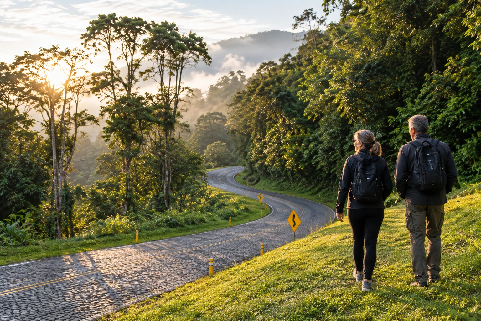
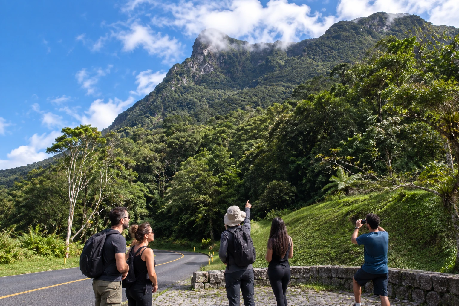
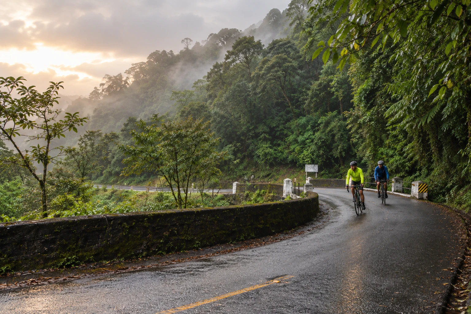
Today it is an outing by car, motorcycle or bicycle. The road is narrow and winding, with a cobblestone stretch, and always surrounded by Atlantic Forest. Along the way you see streams, waterfalls, hydrangeas by the roadside and views of the mountains and, on clear days, the coastal plain.
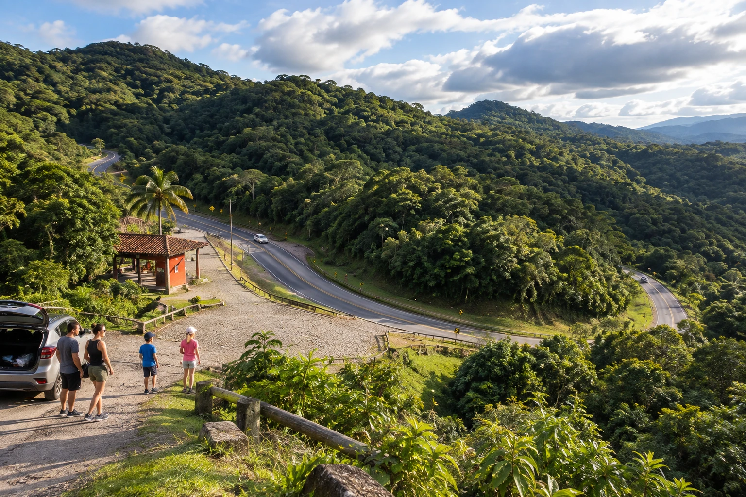
On the way down there are recantos, rest areas with viewpoints, tables, barbecue grills and restrooms. Among the best known are Recanto Mãe Catira, near an old iron bridge, and Recanto São João da Graciosa, near the foot of the mountains. There are also kiosks selling local products.
Take your time. Fog and rain are common, the road has no shoulder and cell signal is weak in several places. If you want to reach the coast quickly, take the BR-277; the Graciosa is the option for enjoying the scenery.
Before you go
Practical information
How much time to set aside
Plan on half a day to drive down at a relaxed pace, stopping at the rest areas, or combine it with lunch in Morretes.
Best time
On dry, clear days, ideally in the morning, when the mountain fog is usually lighter; settled weather is more frequent in winter.
How to get there
The entrance is beside the BR-116, in Quatro Barras, in the Curitiba metropolitan area. From there the road descends the mountains to the Morretes and Antonina area, and you return via the BR-277.
Tip
Drive slowly with your headlights on, especially in fog. Before you set out, check road conditions with DER-PR (the state highway department), because heavy rain can cause closures in the mountains.
A look at the place
Estrada da Graciosa in pictures
These pictures are illustrations based on the real place, not photographs. They may differ from the place.
Click the picture to enlarge it.
Get your questions answered
Frequently asked questions about Estrada da Graciosa
Where does the Estrada da Graciosa start?
In Quatro Barras, beside the BR-116, in the Curitiba metropolitan area. It descends the Serra do Mar to the Morretes and Antonina area.
Is the Estrada da Graciosa paved?
Partly. There is a cobblestone stretch, with tight curves and no shoulder. It is a road to take slowly.
What is there to do on the Estrada da Graciosa?
Stop at the rest areas and viewpoints on the way down, such as Recanto Mãe Catira and São João da Graciosa, have a picnic, and see waterfalls and the Atlantic Forest.
Is the Estrada da Graciosa dangerous?
It calls for care: it is narrow, winding and often foggy. At a leisurely pace and in settled weather, it is fine. Check conditions with DER-PR before you go.
What is the difference between the Graciosa and the BR-277?
The BR-277 is the fast highway to the coast. The Graciosa is the old, slow route, chosen for the scenery.