
cove and trail · Paraty, RJ
Saco do Mamanguá
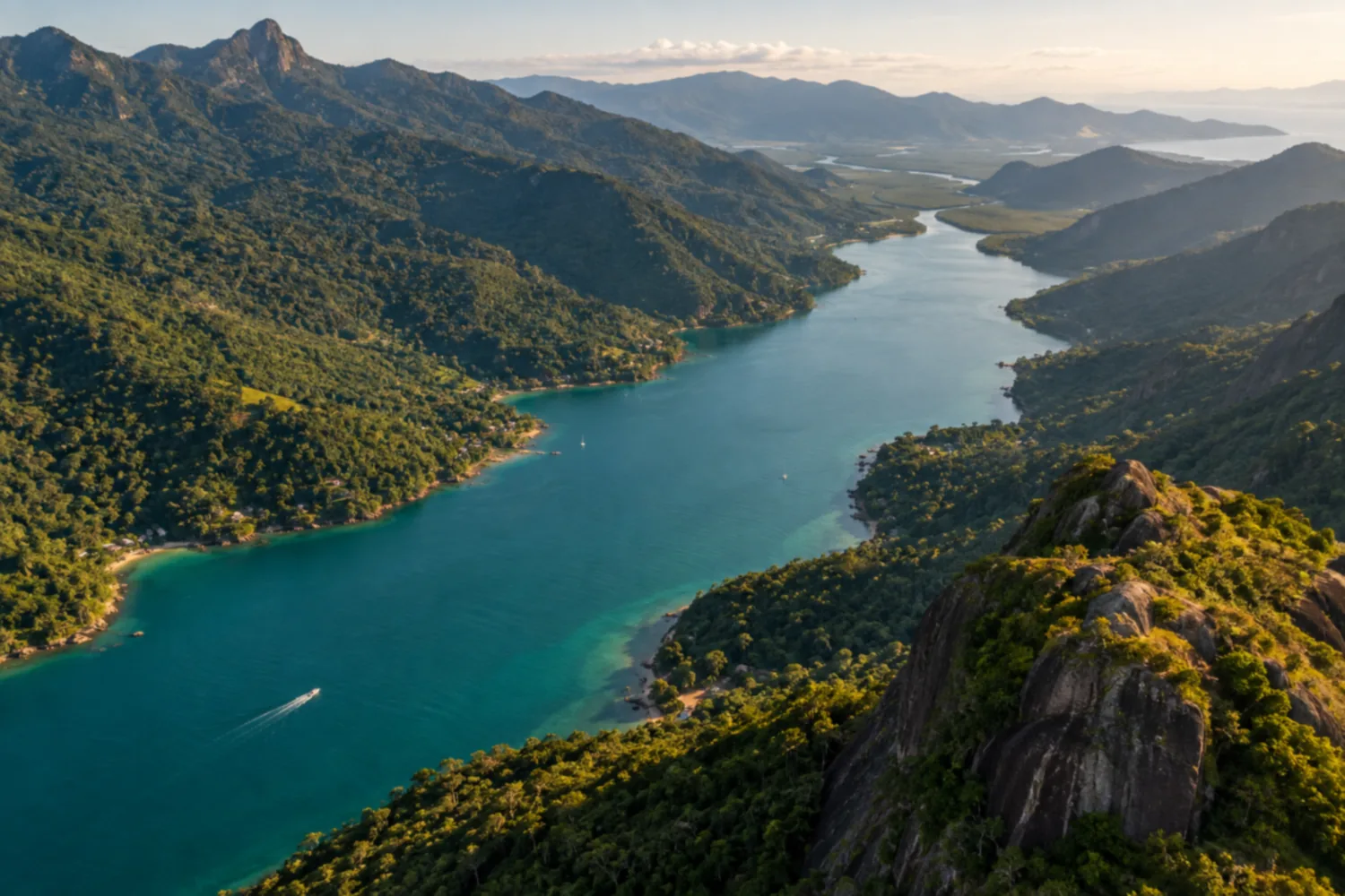
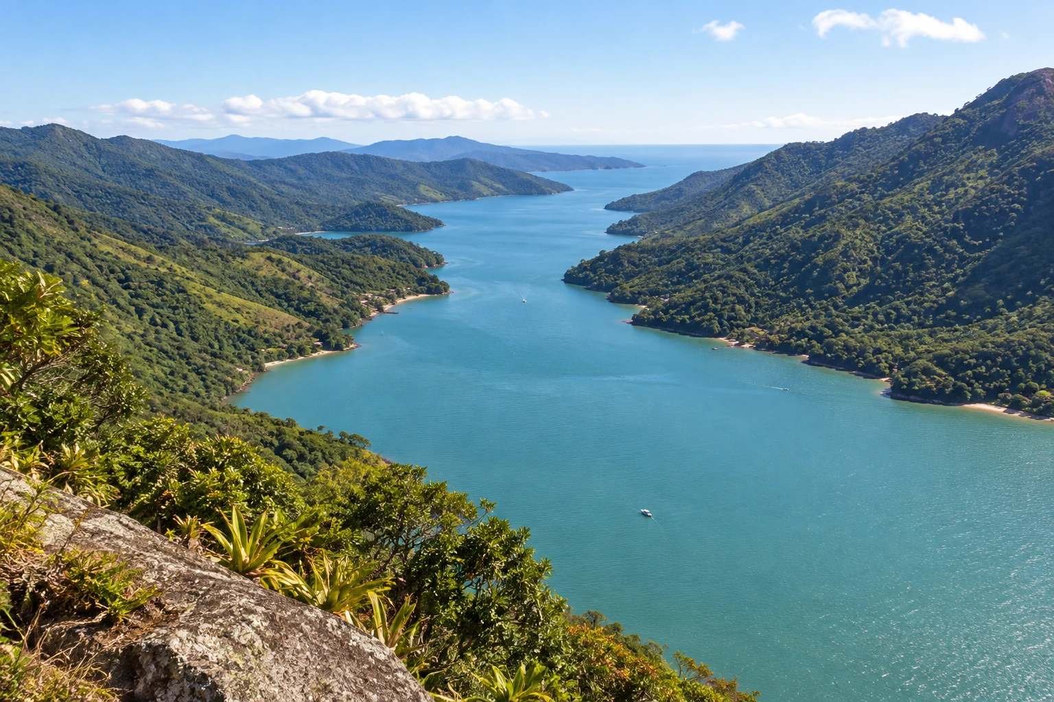
A long, narrow arm of the sea between two mountain ranges, considered Brazil's only tropical fjord, with mangroves, caiçara communities and calm water. The climb up Pico do Pão de Açúcar do Mamanguá offers the widest view of the inlet.
Illustrative images. The pictures in this guide are illustrations based on the real place, not photographs, and may differ from it.
Discover
About Saco do Mamanguá
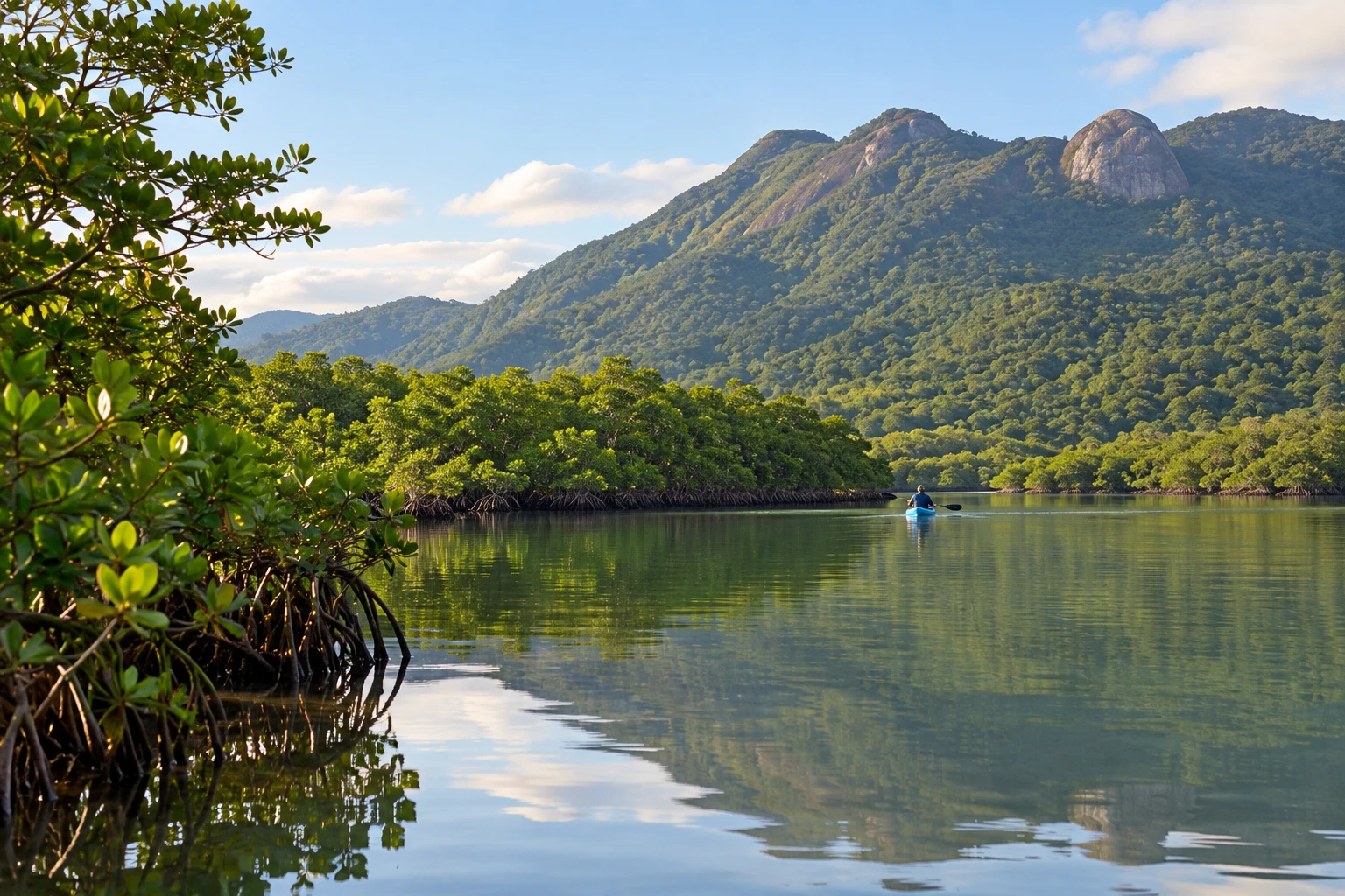
Saco do Mamanguá is a long, narrow arm of the sea that runs between two mountain ranges covered in Atlantic Forest, in the south of Paraty. Because of its shape, it's often called a tropical fjord. The water is calm and green, and the shores have dozens of small golden-sand beaches.
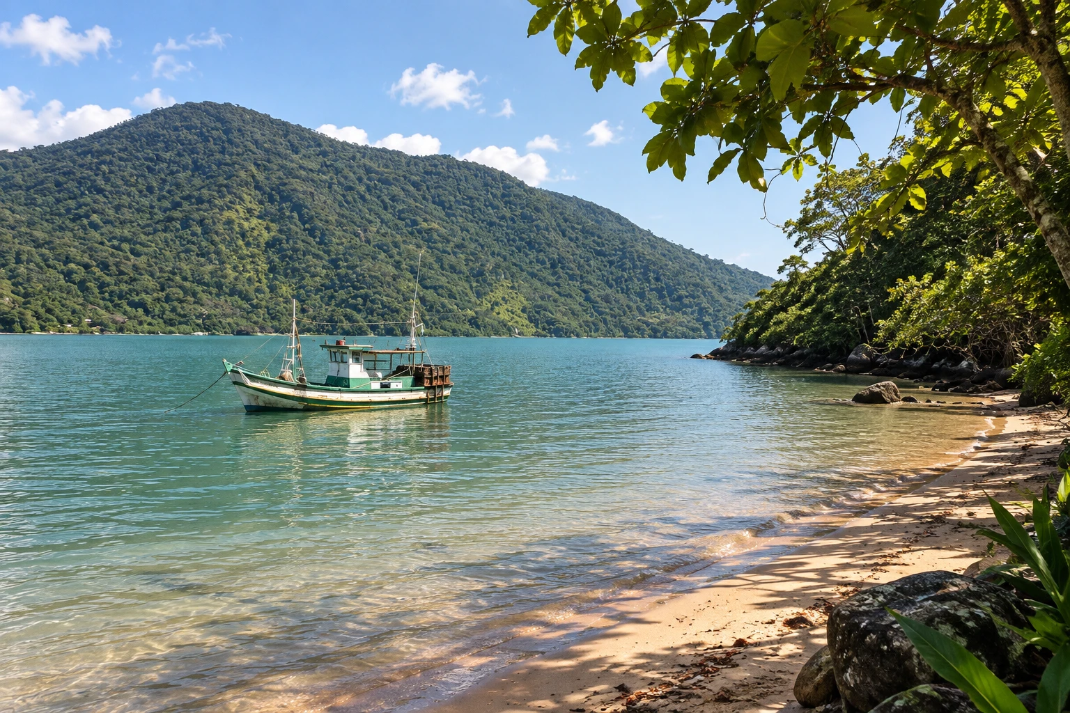
There's no road there: access is by boat, from Paraty-Mirim. Caiçara communities that still fish in traditional ways live along the shores, and the area is part of the Área de Proteção Ambiental de Cairuçu. At the head of the inlet, the sea gives way to a mangrove.
The most famous outing is the climb up Pico do Pão de Açúcar do Mamanguá, which starts at Praia do Cruzeiro. It's a short but steep trail, with roots and loose rocks, taking an hour to an hour and a half to the top. From up there you see the whole Mamanguá, with the curve of the inlet between the mountains.
Besides the trail, you can take a boat around the beaches, kayak or stand-up paddle to the mangrove and swim in nearby waterfalls. The climb to the peak requires good fitness; the boat trip suits all ages.
Before you go
Practical information
How much time to set aside
A full day is enough to go by boat, climb Pão de Açúcar do Mamanguá and stop at a few beaches; if you want to paddle to the mangroves and take it slow, you'll usually stay overnight.
Best time
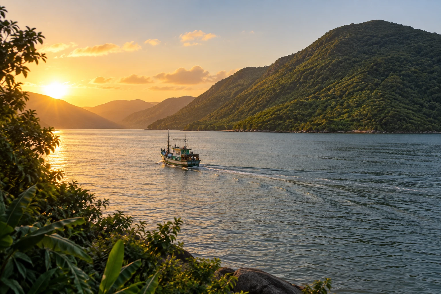
In fall and spring months, such as April, May and September, the weather is usually pleasant and there are fewer people. For the trail, go very early, before the heat, or in the late afternoon to watch the sunset from the top.
How to get there
It's in the south of the municipality of Paraty. By car or bus, go from downtown to Paraty-Mirim and from there take a fishing boat or speedboat to the Mamanguá beaches. Agencies in Paraty also run the full tour.
Tip
Bring cash: there's almost no cell signal and the communities have no ATMs. For the trail, bring plenty of water and sturdy shoes.
A look at the place
Saco do Mamanguá in pictures
These pictures are illustrations based on the real place, not photographs. They may differ from the place.
Click the picture to enlarge it.
Get your questions answered
Frequently asked questions about Saco do Mamanguá
How do I get to Saco do Mamanguá?
By boat, from Paraty-Mirim, which you reach by car or bus from downtown Paraty. There's no road to the Mamanguá beaches.
Is the Pão de Açúcar do Mamanguá trail hard?
It's short but steep, with roots and loose rocks. The climb takes an hour to an hour and a half and requires good fitness.
Why is Mamanguá called a fjord?
Because it's a long, narrow arm of the sea between mountains, resembling a fjord. That's how it got the nickname tropical fjord.
Can I visit Mamanguá on a day trip?
Yes, leaving Paraty early. In one day you can go by boat, climb Pão de Açúcar and see a few beaches.
Is there cell signal in Mamanguá?
Almost none. Arrange your return with the boatman in advance and bring cash.