
park · Itamonte, MG
Parque Estadual da Serra do Papagaio
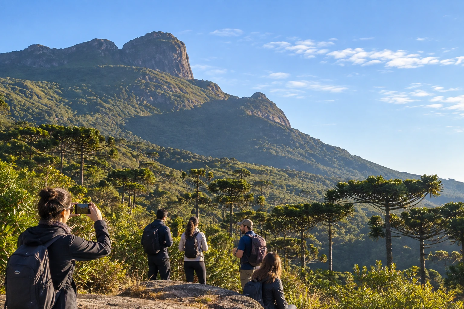
A protected area in the Serra da Mantiqueira with peaks over 2,000 meters, such as Papagaio and Santo Agostinho. It protects araucaria forests, valleys and waterfalls, explored on guided trails.
Illustrative images. The pictures in this guide are illustrations based on the real place, not photographs, and may differ from it.
Discover
About Parque Estadual da Serra do Papagaio
The Parque Estadual da Serra do Papagaio is a protected area in the Serra da Mantiqueira, in southern Minas Gerais. Created in 1998 and managed by the State Forestry Institute (IEF), it spans five municipalities: Itamonte, Aiuruoca, Alagoa, Baependi and Pouso Alto.
It is mountain country. About half of the park lies above 1,800 meters, on steep slopes. Among the highest points are Pico do Bandeira, at 2,357 meters, Morro da Mitra do Bispo, at 2,149 meters, and Pico do Papagaio, at 2,105 meters, the mountain that gives the range its name.
The park protects remnants of Atlantic Forest, with woodland, high-altitude grasslands and stretches of araucaria forest. Its springs are the source of rivers that form the Rio Grande, and the surrounding valleys hold many waterfalls. It is also one of the main reserves for mammals, birds and amphibians in southern Minas Gerais.
Visits are made on mountain trails that start from rural valleys in the surrounding municipalities. The climb to Pico do Papagaio is the best known and requires good fitness. The outing is for those who enjoy hiking and nature; there is no route adapted for people with limited mobility.
Before you go
Practical information
How much time to set aside
Set aside a full day: the climb to Pico do Papagaio, for example, takes about four hours up and another four back.
Best time
From April to September, in the dry season, when the trails are firm and clear skies favor the view; start early in the morning to make the most of the light and return before late afternoon. From October to March there is more rain.
How to get there
The park is in the Serra da Mantiqueira, between Itamonte, Aiuruoca, Alagoa, Baependi and Pouso Alto, in southern Minas Gerais. There is no single entrance: the trails start in rural valleys reached by dirt roads. The climb to Pico do Papagaio starts from valleys in Aiuruoca, such as Matutu, dos Garcias and Retiro dos Pedros. Arrange the starting point with your guide.
Tip
Go with an accredited guide who knows the routes and the weather conditions in the mountains. Bring warm clothes, water and snacks: at the top the weather changes quickly and it gets quite cold.
A look at the place
Parque Estadual da Serra do Papagaio in pictures
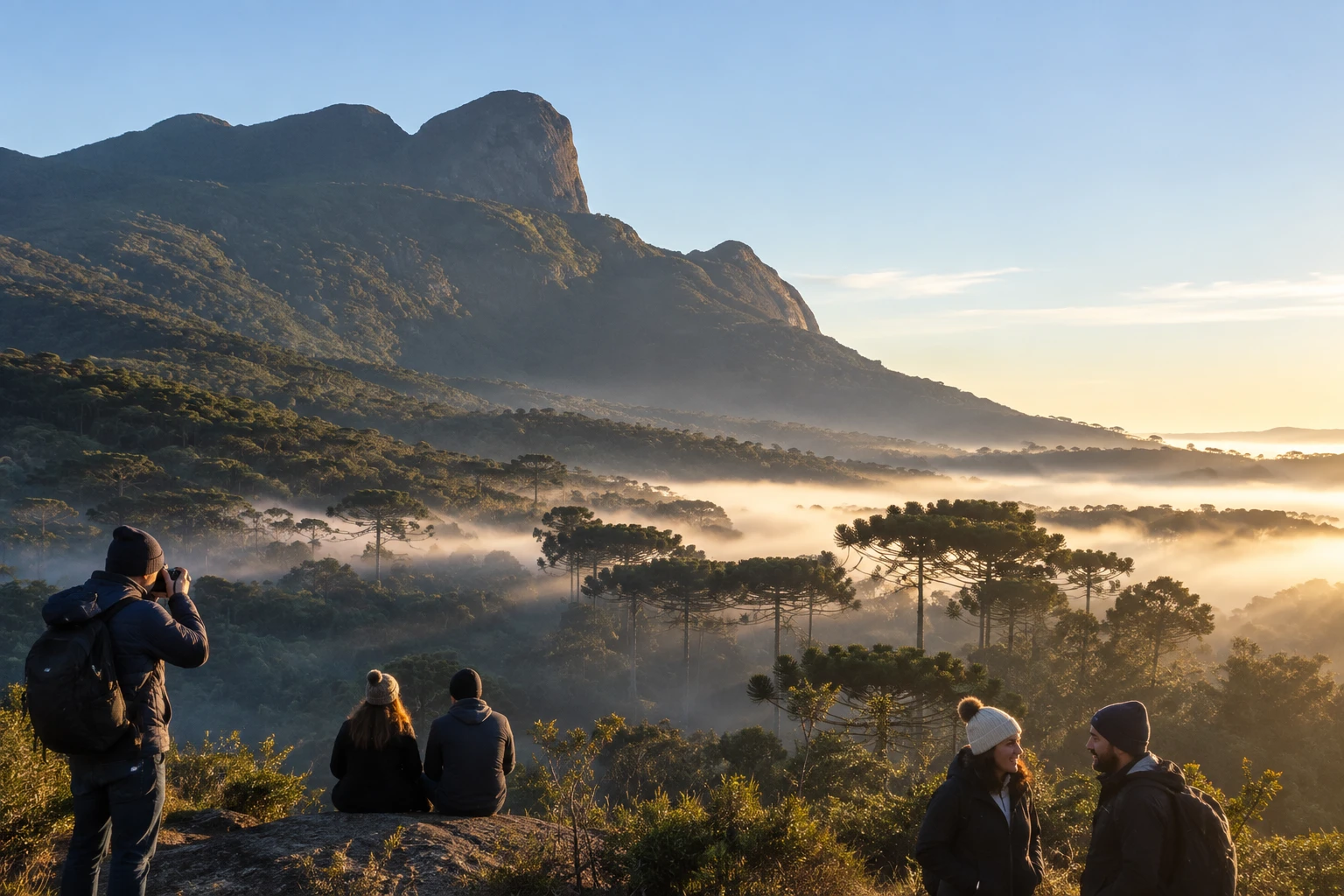
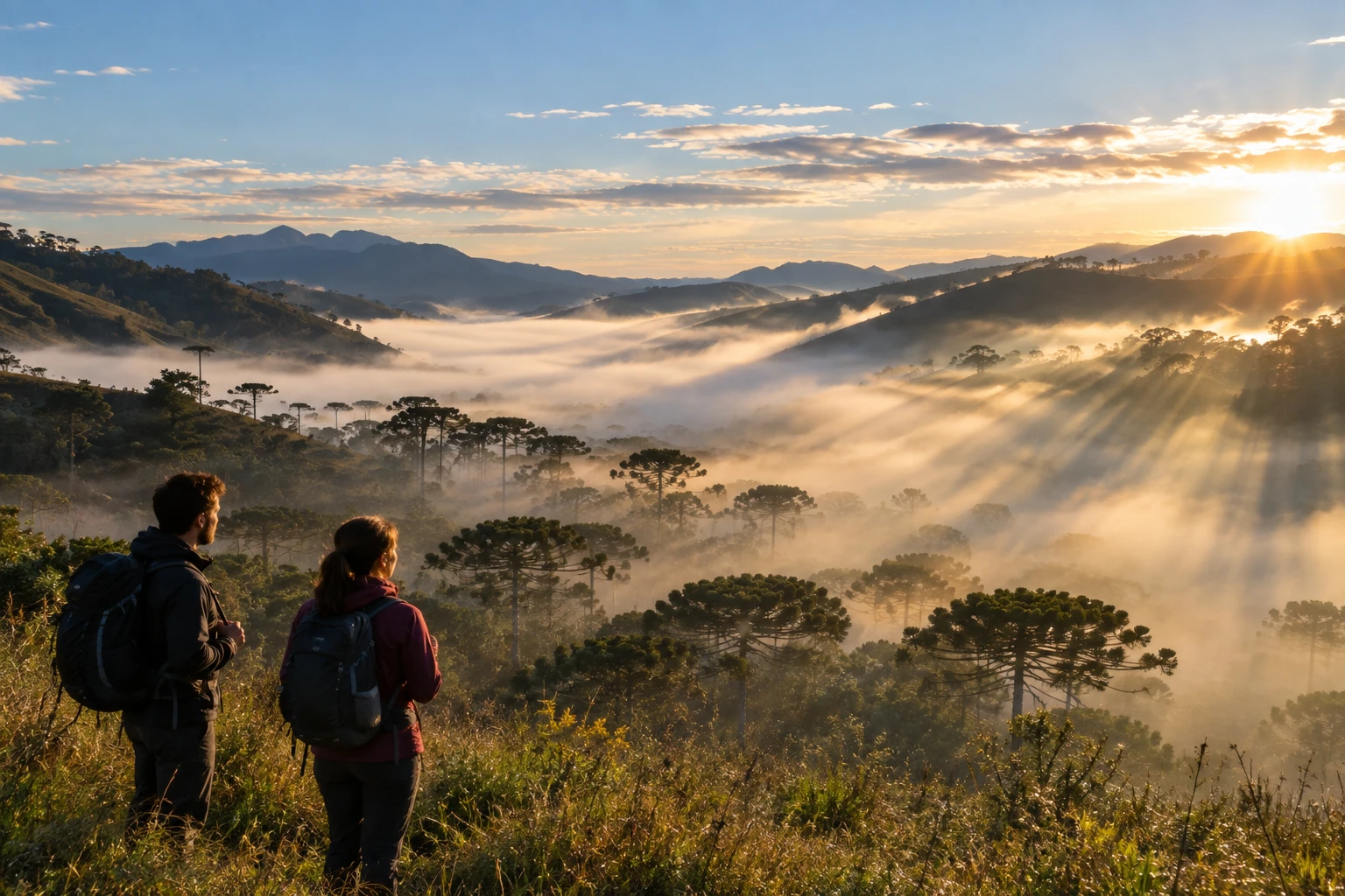
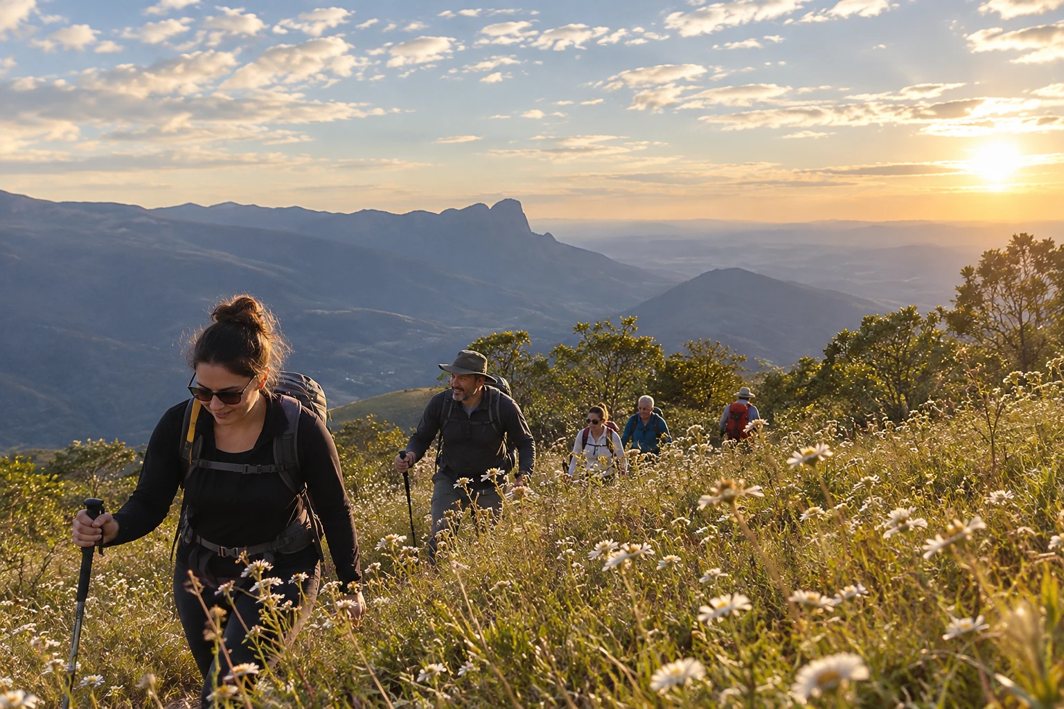
These pictures are illustrations based on the real place, not photographs. They may differ from the place.
Click the picture to enlarge it.
Get your questions answered
Frequently asked questions about Parque Estadual da Serra do Papagaio
Do I need a guide for the trails in the Parque da Serra do Papagaio?
Going with an accredited guide is strongly recommended. The trails are mountain trails, they start from rural valleys and the weather in the mountains changes quickly.
How long does it take to climb Pico do Papagaio?
About four hours up and another four down. Set aside the whole day and be in good shape.
How high is Pico do Papagaio?
Pico do Papagaio is 2,105 meters high. The highest point in the range is Pico do Bandeira, at 2,357 meters.
Which towns are part of the Parque da Serra do Papagaio?
The park spans Itamonte, Aiuruoca, Alagoa, Baependi and Pouso Alto, in southern Minas Gerais.
When is the best time to visit the Serra do Papagaio?
From April to September, in the dry season, when the trails are firm and the view is usually clear. In winter it gets very cold at the top.