
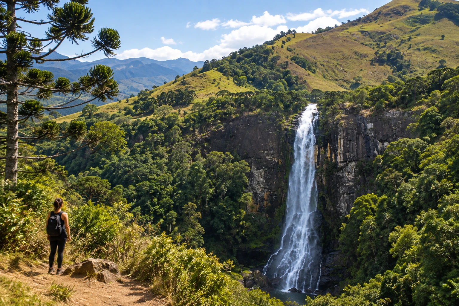
waterfall · Itamonte, MG
Cachoeira da Fragária
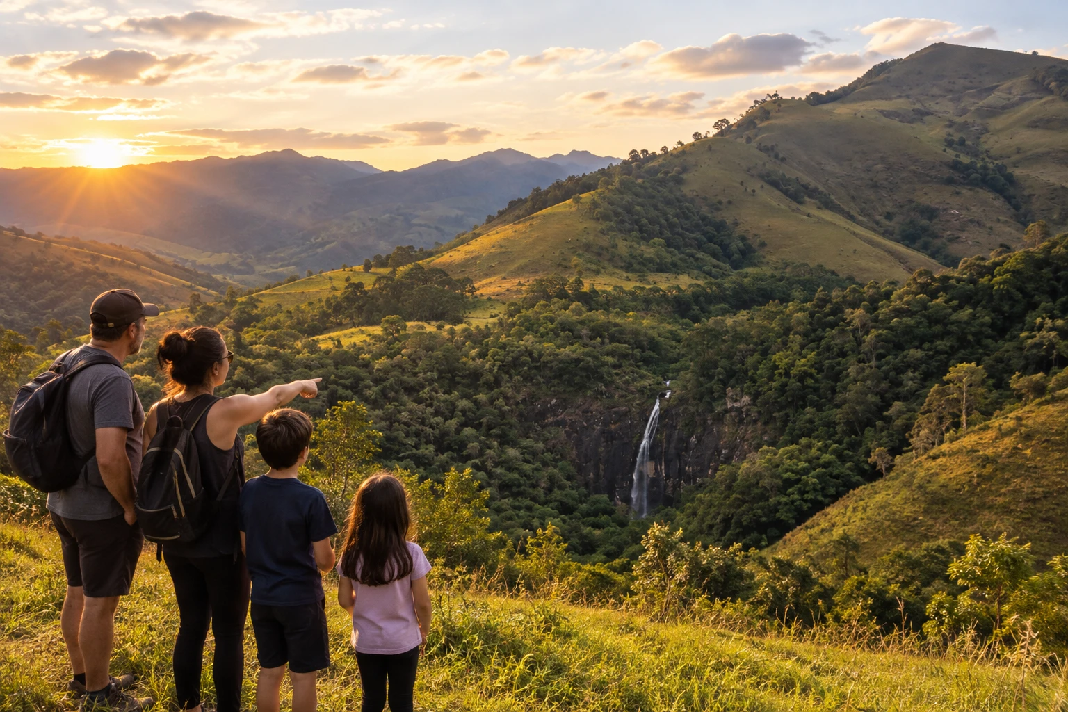
A free fall of almost 100 meters in the rural area of Fragária, about 33 km from downtown and 1,350 meters above sea level. You can see it from a roadside viewpoint or up close, via a short, steep trail down to the pool.
Illustrative images. The pictures in this guide are illustrations based on the real place, not photographs, and may differ from it.
Discover
About Cachoeira da Fragária
Cachoeira da Fragária is considered the largest waterfall in Itamonte, in southern Minas Gerais. The water plunges in a free fall of almost 100 meters down a rock wall in the middle of the forest, in the rural area of Fragária, about 1,350 meters above sea level, in the Serra da Mantiqueira.
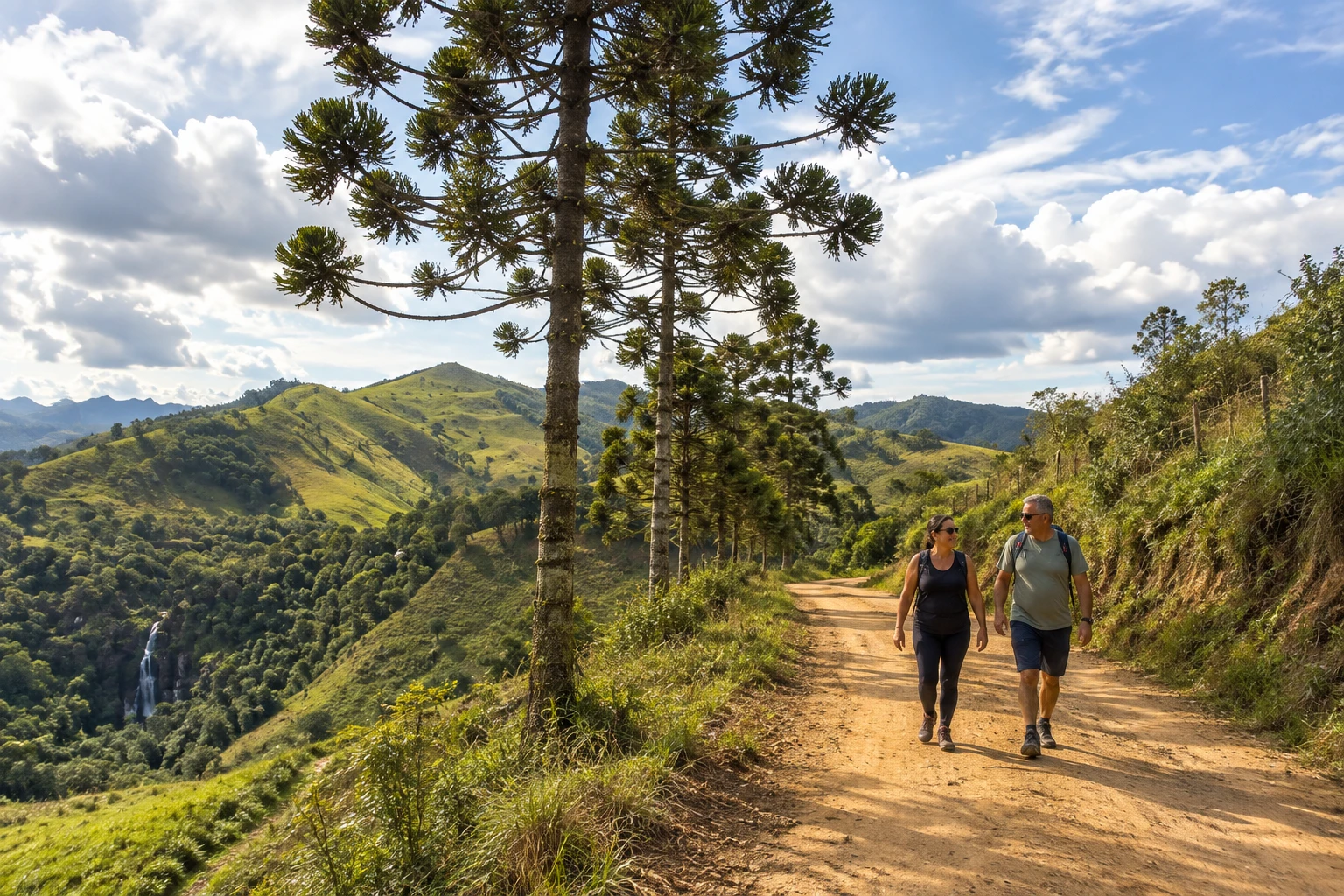
The site lies within the Serra da Mantiqueira Environmental Protection Area and is part of the rural route known as Volta dos 80. The surrounding landscape is hills with pasture, forests and araucaria pines, and the falls can be seen from afar, tucked into the valley.
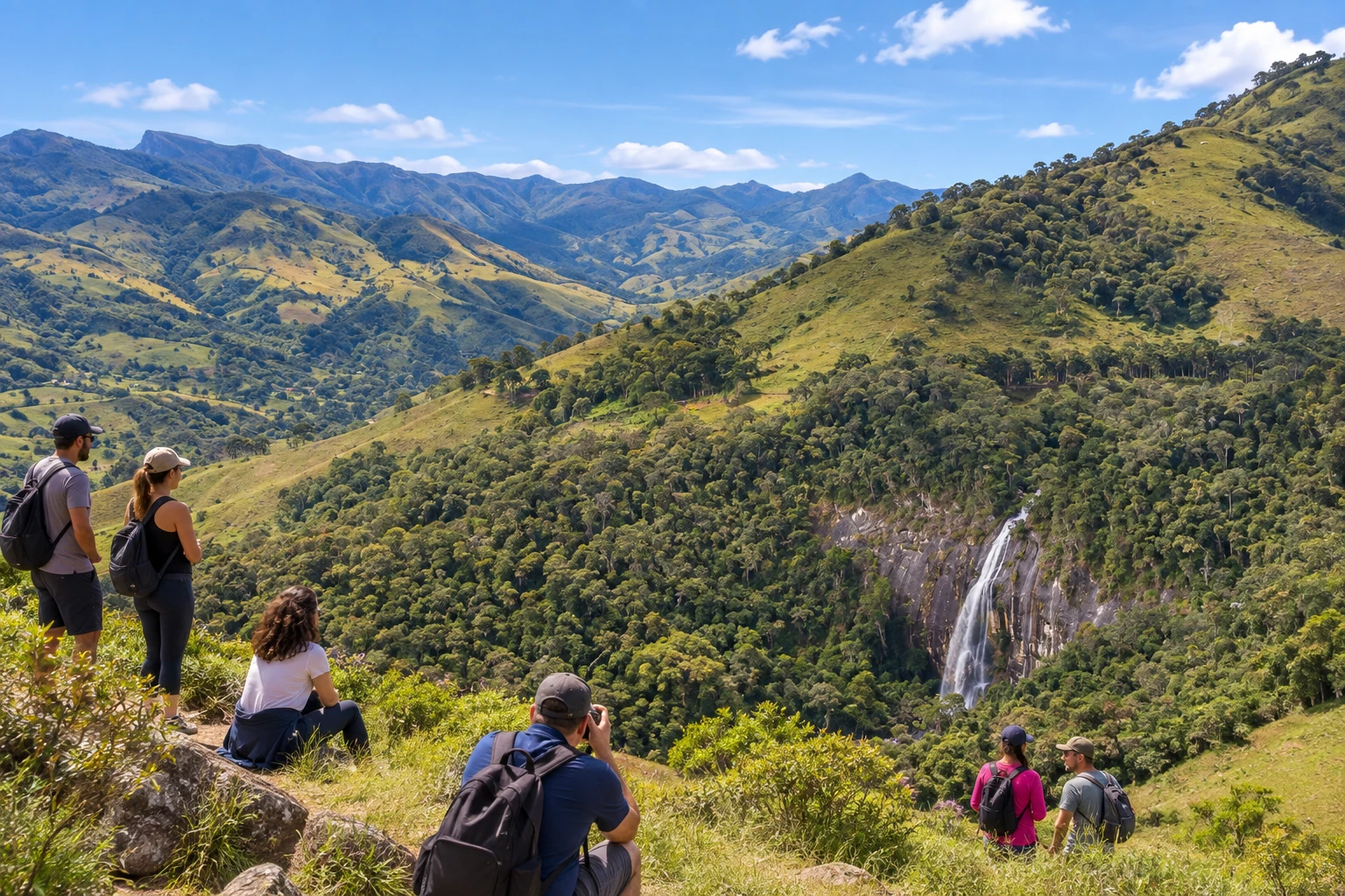
There are two ways to see the waterfall. The simplest is to stop at the viewpoint by the dirt road, which offers a view of the whole drop with the valley behind, without any walking. The other is to go down to the base on a short but steep and rugged trail, which first crosses pasture and then enters the forest, with ropes to help on the trickiest stretches.
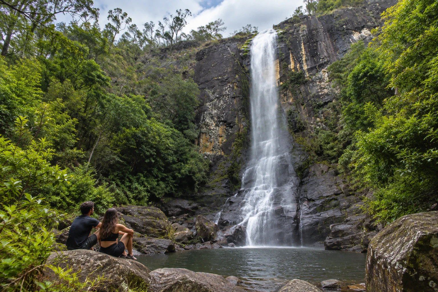
Down below there is a natural pool for swimming at the foot of the rock wall. The descent requires care and reasonable fitness and is not recommended for people with limited mobility. If you prefer not to risk it, the viewpoint alone is worth the trip.
Before you go
Practical information
How much time to set aside
About half an hour just for the viewpoint; to go down to the pool, swim and climb back up, set aside a good part of the morning or afternoon, plus the drive on the dirt road.
Best time
On dry days, in the morning or early afternoon, with time to go down and back up in daylight; after rain the trail gets slippery and the dirt road worse. Check the weather forecast before you set out.
How to get there
It is in the countryside of Itamonte, about 33 km from downtown. Take the BR-354 toward Alagoa and Aiuruoca and then follow signposted dirt roads through the Campo Redondo and Fragária areas. The viewpoint is by the roadside; the walk down to the base takes about 30 minutes.
Tip
Wear shoes with good grip and keep your hands free to hold onto the ropes and branches on the way down. Bring water and snacks, or plan your meal in the Campo Redondo area, which has places to eat.
Official website
A look at the place
Cachoeira da Fragária in pictures
These pictures are illustrations based on the real place, not photographs. They may differ from the place.
Click the picture to enlarge it.
Get your questions answered
Frequently asked questions about Cachoeira da Fragária
Is there an entrance fee at Cachoeira da Fragária?
No. According to the Itamonte tourism website, access is free.
How tall is Cachoeira da Fragária?
Almost 100 meters of free fall. It is considered the largest waterfall in Itamonte.
How far is it from downtown Itamonte?
About 33 km, with much of the way on dirt roads, through the Campo Redondo and Fragária areas.
Is the trail to the waterfall difficult?
It is short but steep and rugged, with ropes to help on the way down, which takes about 30 minutes. If you don't want to walk, you can see the whole drop from the roadside viewpoint.
Can you swim at Cachoeira da Fragária?
Yes. There is a natural swimming pool at the base. Avoid the descent on rainy days, when the path gets slippery.