
Mountaineering · Quatro Barras, PR
Morro do Anhangava
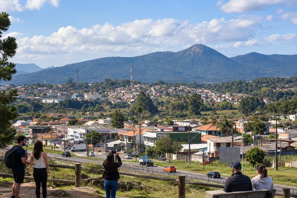
Mountain of Serra da Baitaca accessed by trail in Borda do Campo. Anhangava is a climbing reference and allows observation of the plateau landscape when visibility is good.
Illustrative images. The pictures in this guide are illustrations based on the real place, not photographs, and may differ from it.

Discover
About Morro do Anhangava
The Morro do Anhangava is one of the mountaineering landmarks of Quatro Barras. It is part of the Parque Estadual da Serra da Baitaca, which protects Atlantic Forest and headwaters in the Região Metropolitana de Curitiba. The landscape is reached on foot, from the Borda do Campo area.
The ascent uses the unit's official trails. Registration at the visitor base is part of entry, and plans must comply with the park's current rules. The rock areas are also used for climbing, an activity distinct from hiking that requires specific preparation and equipment.
The weather forecast affects the outing and the view from the top: clouds and fog can hide the surroundings. Define the route according to your experience, bring what you need to hike and allow time for the descent. Avoid shortcuts, keep your waste with you and follow the instructions given at the base.
Before you go
Practical information
How much time to set aside
Duration varies according to the trail, conditions and level of preparation; allocate a dedicated outing to ascend and descend, without adding an estimated time for road travel.
Best time
A stable forecast and good visibility favor the hike. Check the park's status and entry rules before the trip.
How to get there
Arrive via the Borda do Campo area in Quatro Barras, following signs to the Serra da Baitaca visitor base. Continue on foot along the Anhangava official access.
Tip
Treat hiking and climbing as separate activities: the equipment and experience for one do not replace the preparation required for the other.
Get your questions answered
Frequently asked questions about Morro do Anhangava
Is the Anhangava directly accessible via the rodovia da Graciosa?
Its visitor access is via the Borda do Campo region in the Serra da Baitaca. The trail is not a roadside nook along PR-410.
What procedure precedes the climb of the hill?
Visitors register at the conservation unit's base and receive access instructions. Use the official paths and check the permitted length of stay for that period.
Does the summit offer views every day?
Visibility depends on the weather. Fog and clouds can obscure the view, even when park entry is permitted.