
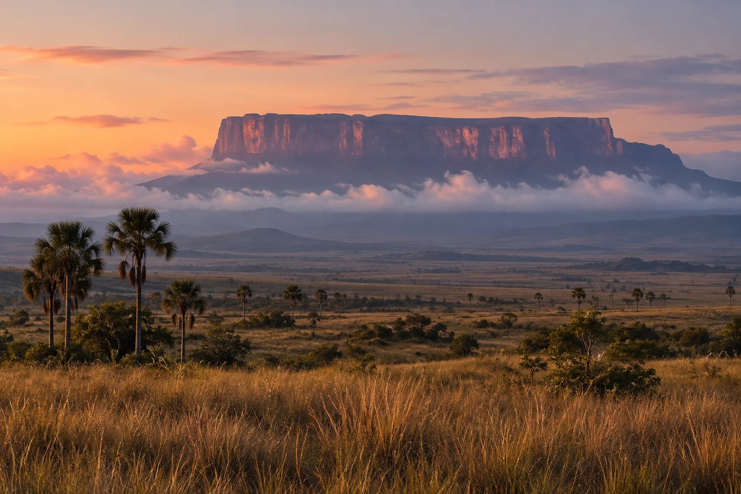
mountain · Uiramutã, RR
Monte Roraima
A flat-topped tepui on the triple border between Brazil, Venezuela and Guyana, inside the Parque Nacional do Monte Roraima. The trek takes several days of hiking and is one of the great expeditions in South America.
Illustrative images. The pictures in this guide are illustrations based on the real place, not photographs, and may differ from it.
Discover
About Monte Roraima
Monte Roraima is a tepui, a mountain with vertical walls and a flat top, that marks the triple border between Brazil, Venezuela and Guyana. The plateau is more than ten kilometers long and rises above 2,700 meters. Most of the mountain is in Venezuela; the much smaller Brazilian portion is in the municipality of Uiramutã, in northern Roraima.
In Brazil, the area is protected by the Parque Nacional do Monte Roraima, created in 1989 and managed by ICMBio. The park lies within the Raposa Serra do Sol Indigenous Territory, home of the Ingarikó and Macuxi peoples, and has no visitor facilities or tourist trail open on the Brazilian side. In practice, travelers leaving from Brazil climb from the Venezuelan side, through the Parque Nacional Canaima.
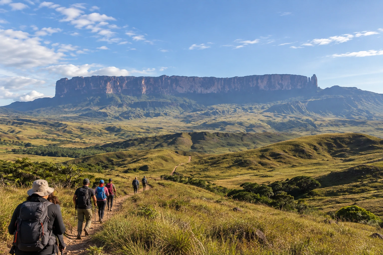
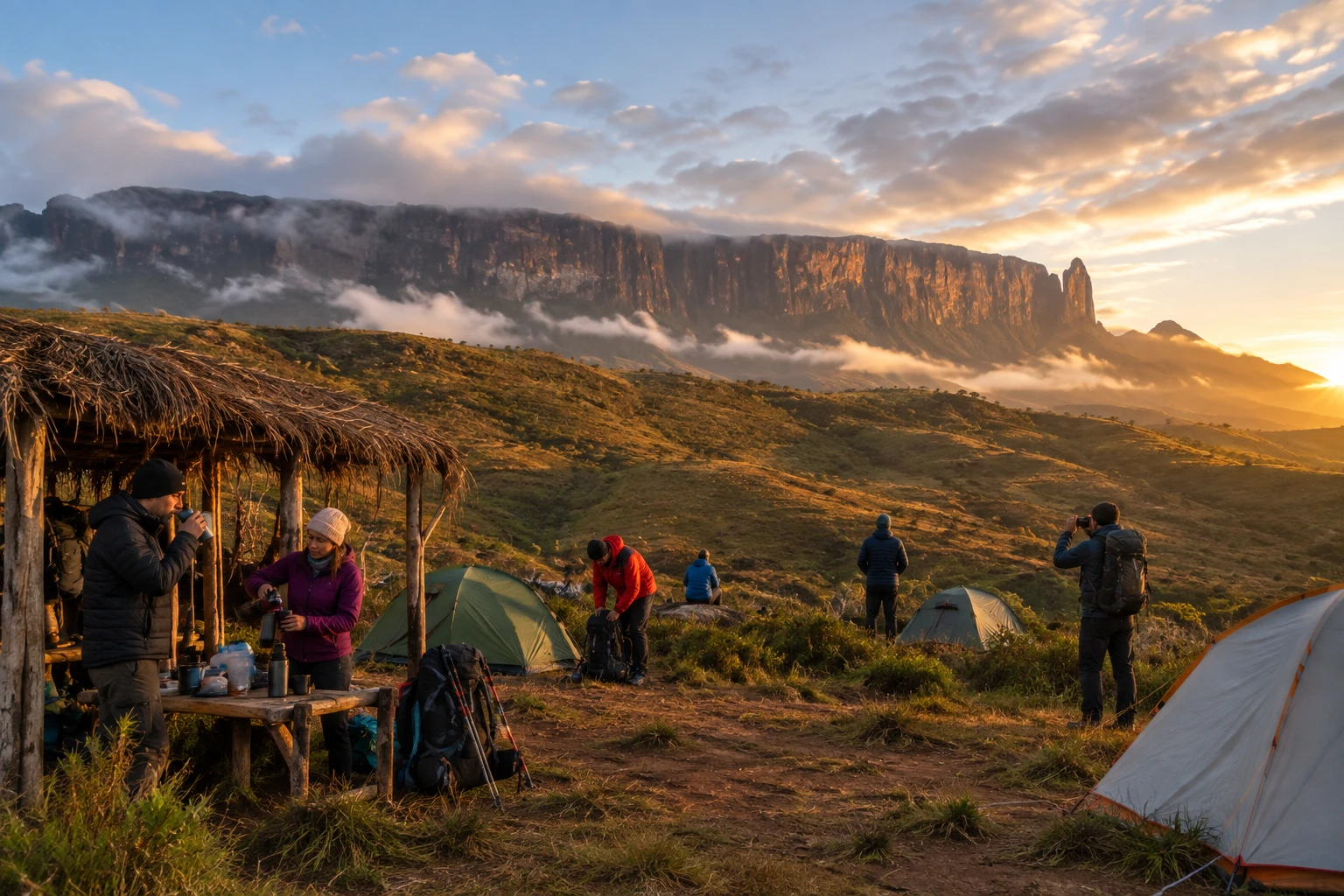
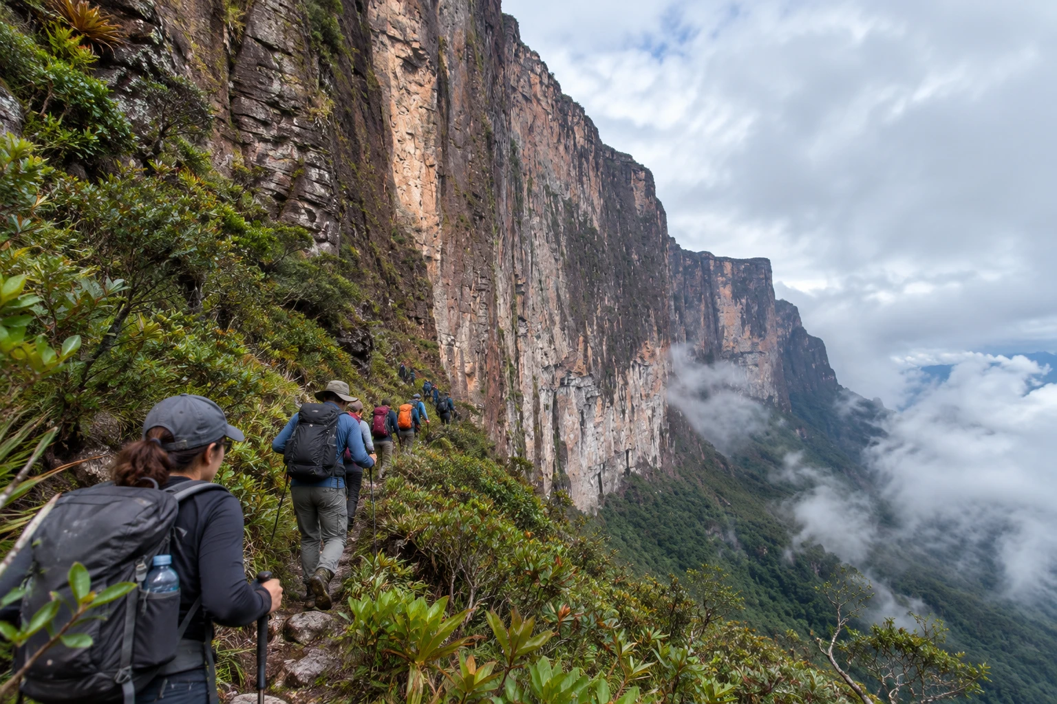
The classic expedition starts in Boa Vista, follows the BR-174 to Pacaraima, crosses the border to Santa Elena de Uairén and continues by 4x4 to the village of Paraitepui, where the hike begins. It takes about two days across the savanna, camping by the Tek and Kukenán rivers, to reach base camp at the foot of the wall. From there a natural ramp, the only route groups use, leads to the top in a day of hard climbing. The full itinerary usually takes six to eight days, always with a guide.
At the top, the landscape looks like another planet: dark rocks sculpted by wind and rain, small lakes, natural pools of icy water (the "jacuzzis"), the Valley of Crystals with its ground covered in quartz, the sinkhole known as El Foso and the Triple Point marker, where you stand in three countries at once. There are carnivorous plants and species found only on the tepuis. Groups sleep in rock shelters called "hotels." The highest point is Maverick Rock, on the Venezuelan side, with a view of the route you have traveled and neighboring Mount Kukenán.
It is a trek for people in good shape who accept days of camping without comforts, with rain, fog and cold nights. It requires no technical climbing, but it has long climbs and uneven terrain. The place inspired Arthur Conan Doyle's novel The Lost World.
Before you go
Practical information
How much time to set aside
The full expedition takes six to eight days of hiking and camping, round trip from Paraitepui.
Best time
In the driest season, between December and March, when it rains less and fog blocks the view of the plateau less often; dawn at the top usually has the clearest skies.
How to get there
From Boa Vista, take the BR-174 to Pacaraima, on the border, and cross into Santa Elena de Uairén, in Venezuela. From there, 4x4 vehicles take you to the village of Paraitepui, where the trail starts. The climb is done with licensed agencies and guides, who usually arrange transportation from Boa Vista or Santa Elena. On the Brazilian side, inside the Raposa Serra do Sol Indigenous Territory, there is no trail open to tourists.
Tip
Book the expedition with an agency that includes a guide, porters and meals, bring your passport or ID and your international yellow fever vaccination certificate, and pack waterproof clothing and warm layers: it is cold at the top and it rains often. Groups carry out all their trash and waste.
A look at the place
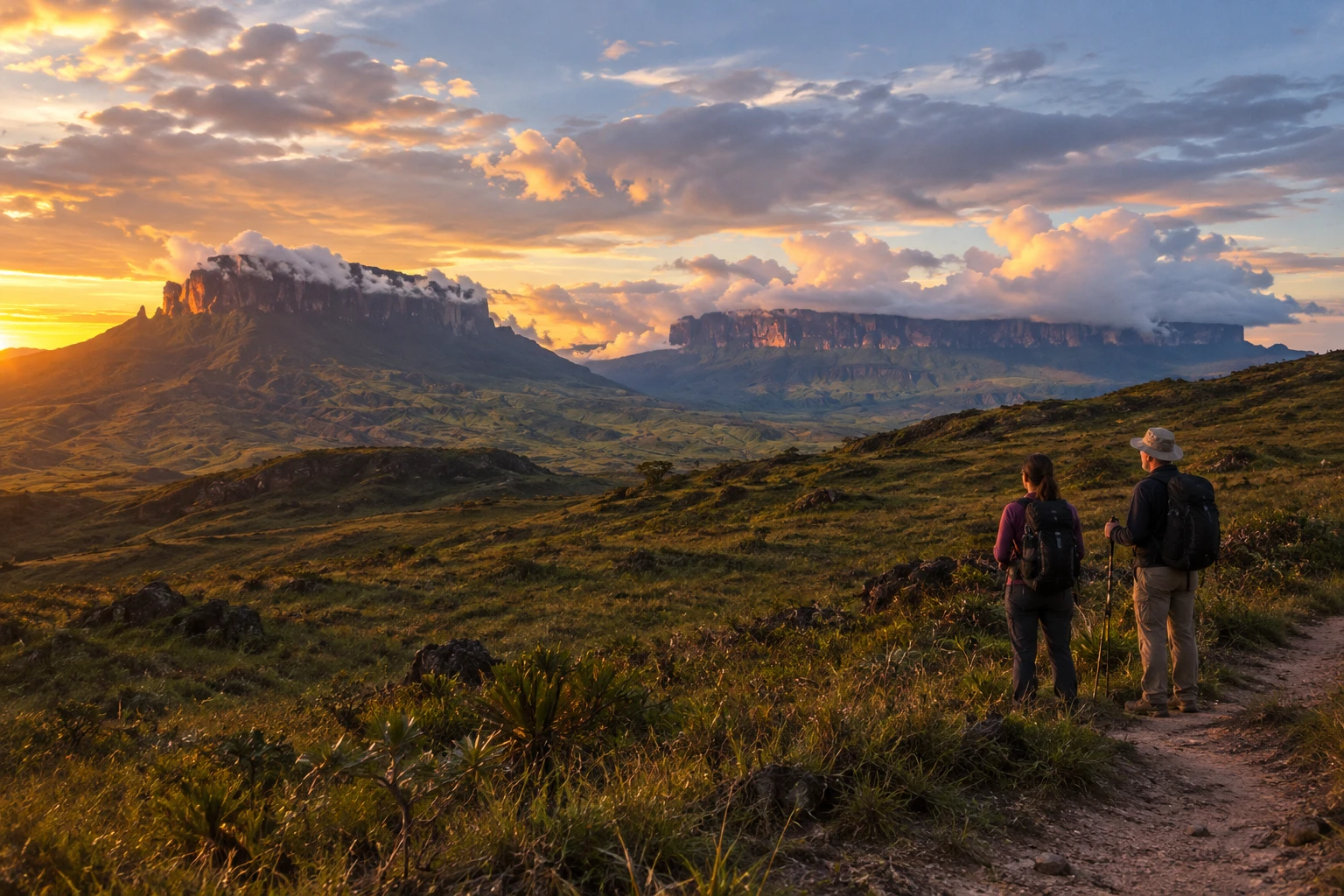
Monte Roraima in pictures
These pictures are illustrations based on the real place, not photographs. They may differ from the place.
Click the picture to enlarge it.
Get your questions answered
Frequently asked questions about Monte Roraima
Can you climb Monte Roraima from Brazil?
Not from the Brazilian side. The Brazilian national park is inside the Raposa Serra do Sol Indigenous Territory and has no tourist trail open. The traditional climb leaves from Boa Vista, passes through Pacaraima and Santa Elena de Uairén and starts at the village of Paraitepui, in Venezuela.
How many days does it take to climb Monte Roraima?
The full expedition usually takes six to eight days, including the hike across the savanna, the climb to the top, exploring the plateau and the return.
Do I need a guide to climb Monte Roraima?
Yes. The trek is done with licensed guides, usually hired through agencies that also handle transportation, meals and porters.
Do I need to be a climber to climb Monte Roraima?
No technical climbing is needed, but it is a long, tough hike, with days of camping, steep climbs, rain and cold. Good fitness is essential.
What is the best time of year to go to Monte Roraima?
Between December and March, the driest period, when it rains less and fog blocks the view from the top less often.