
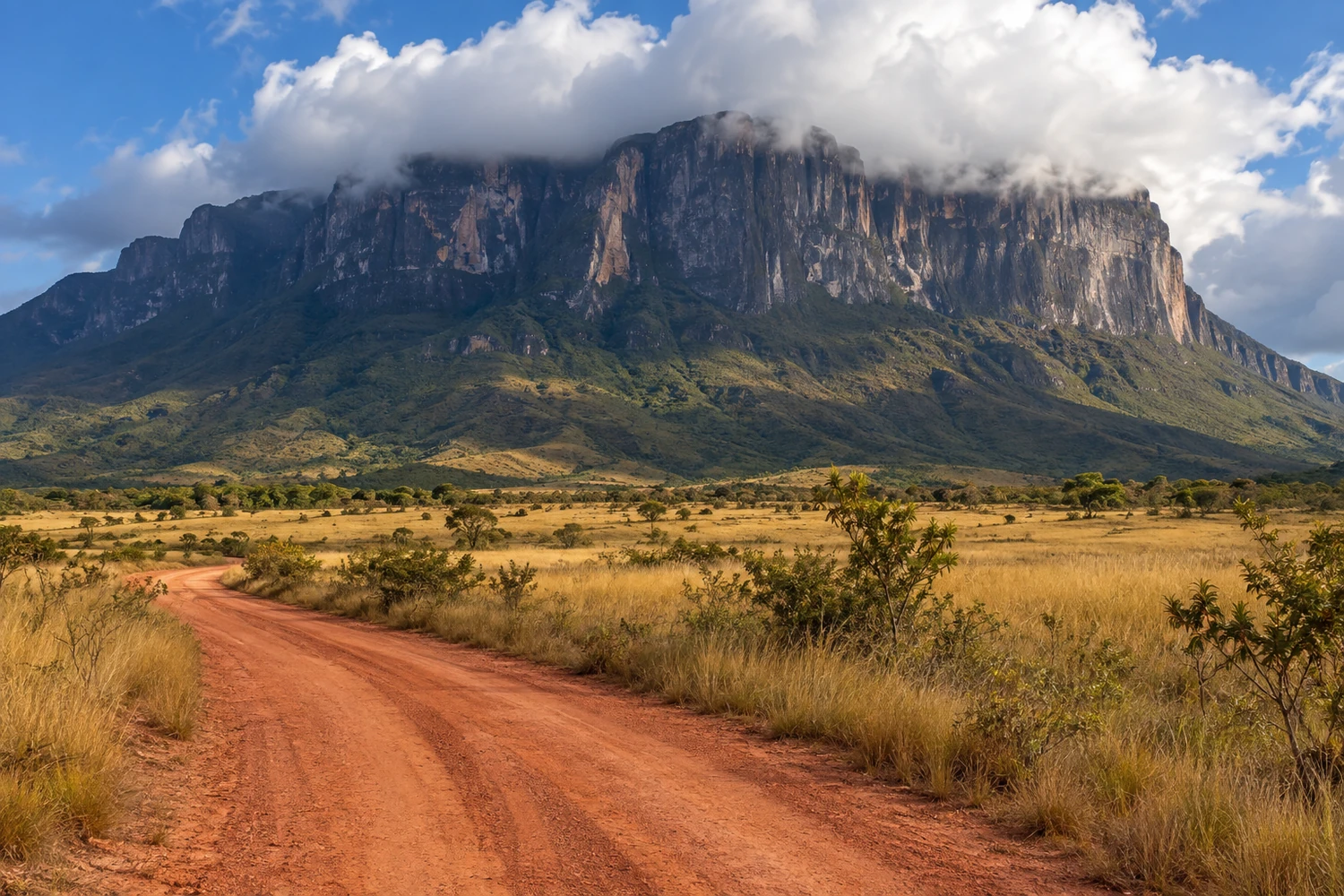
mountain · Amajari, RR
Serra do Tepequém
A plateau at about 600 meters of altitude, with a mild climate, waterfalls and old diamond mining areas. It is the weekend getaway for people from Roraima.
Illustrative images. The pictures in this guide are illustrations based on the real place, not photographs, and may differ from it.
Discover
About Serra do Tepequém
The Serra do Tepequém is a flat-topped plateau in the municipality of Amajari, in northern Roraima, a little over 200 km from Boa Vista. As you climb, you leave behind the lavrado, Roraima's savanna, and enter a mountain landscape of forest, igarapés, waterfalls and plant life rich in orchids and bromeliads.
The name comes from an Indigenous legend and is usually translated as "god of fire." Settlement began in the 1930s with diamond mining. Mining changed the mountain's terrain: Cachoeira do Funil, for example, got its current shape from explosions set off by miners. The old Vila Cabo Sobral was the center of that era.
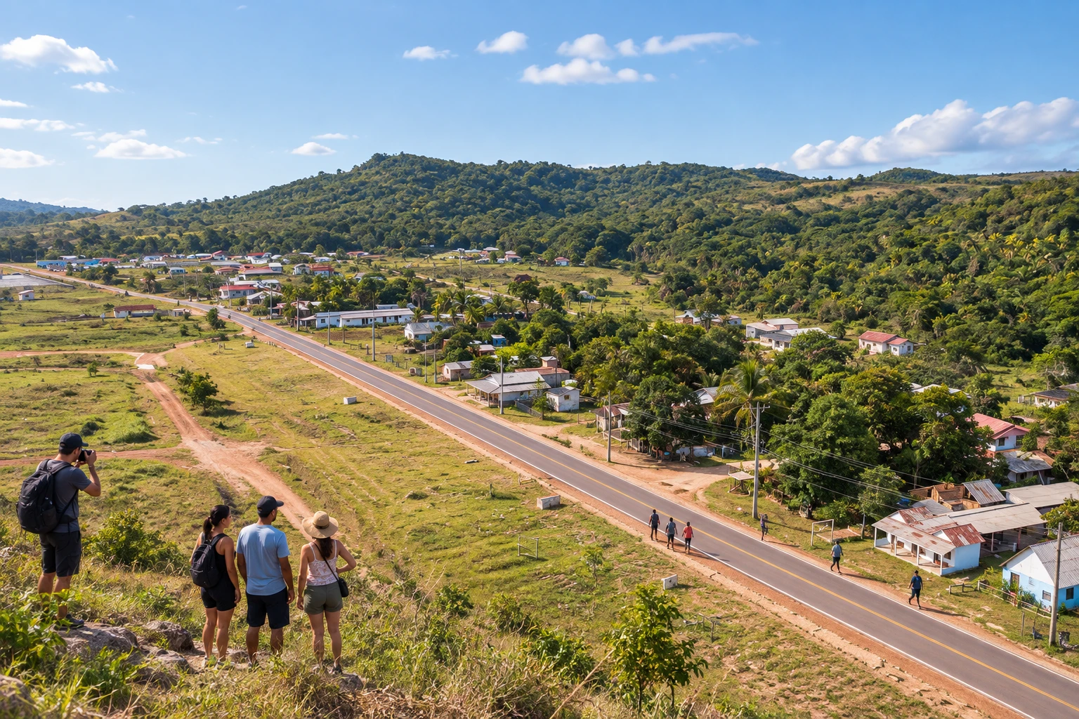
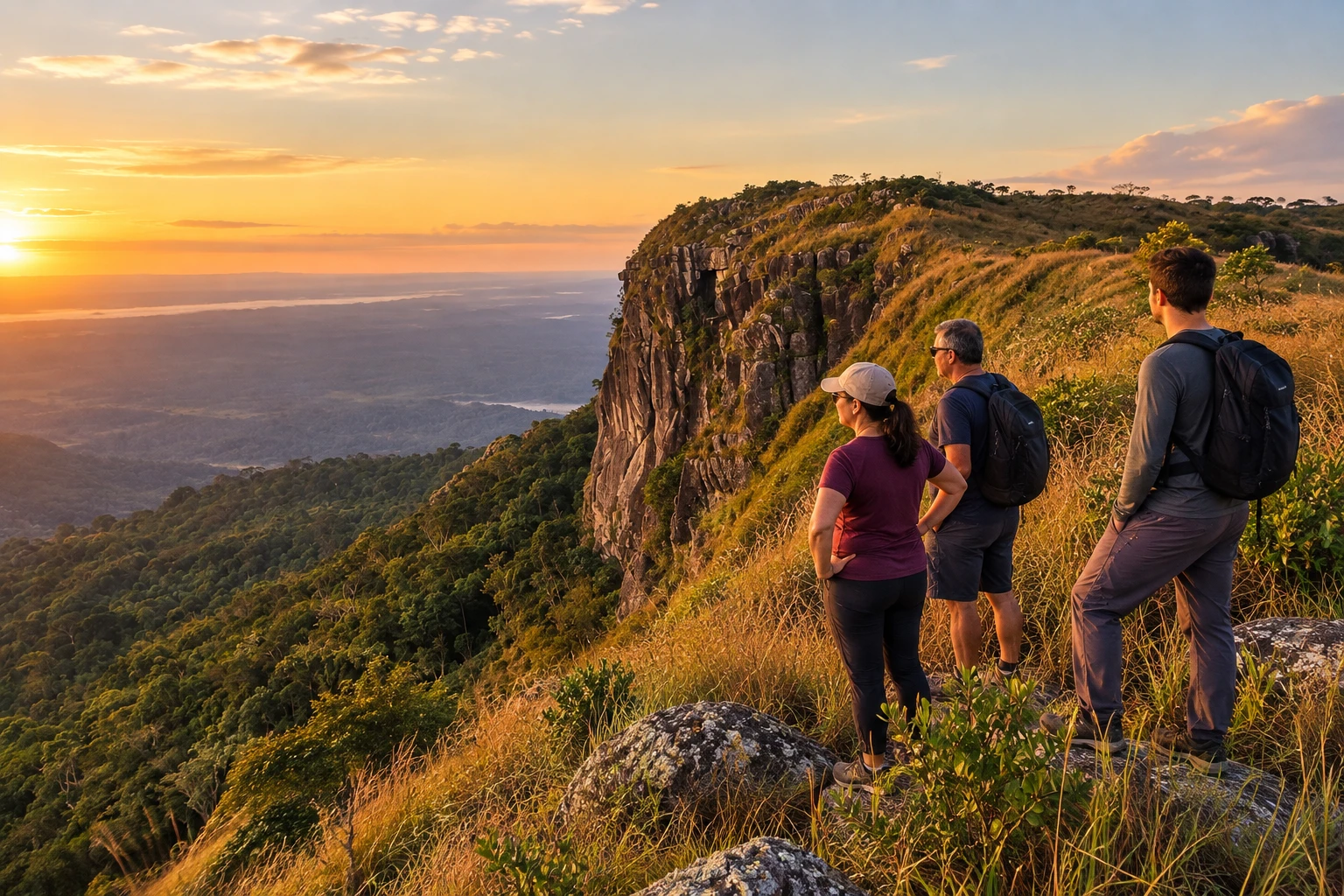
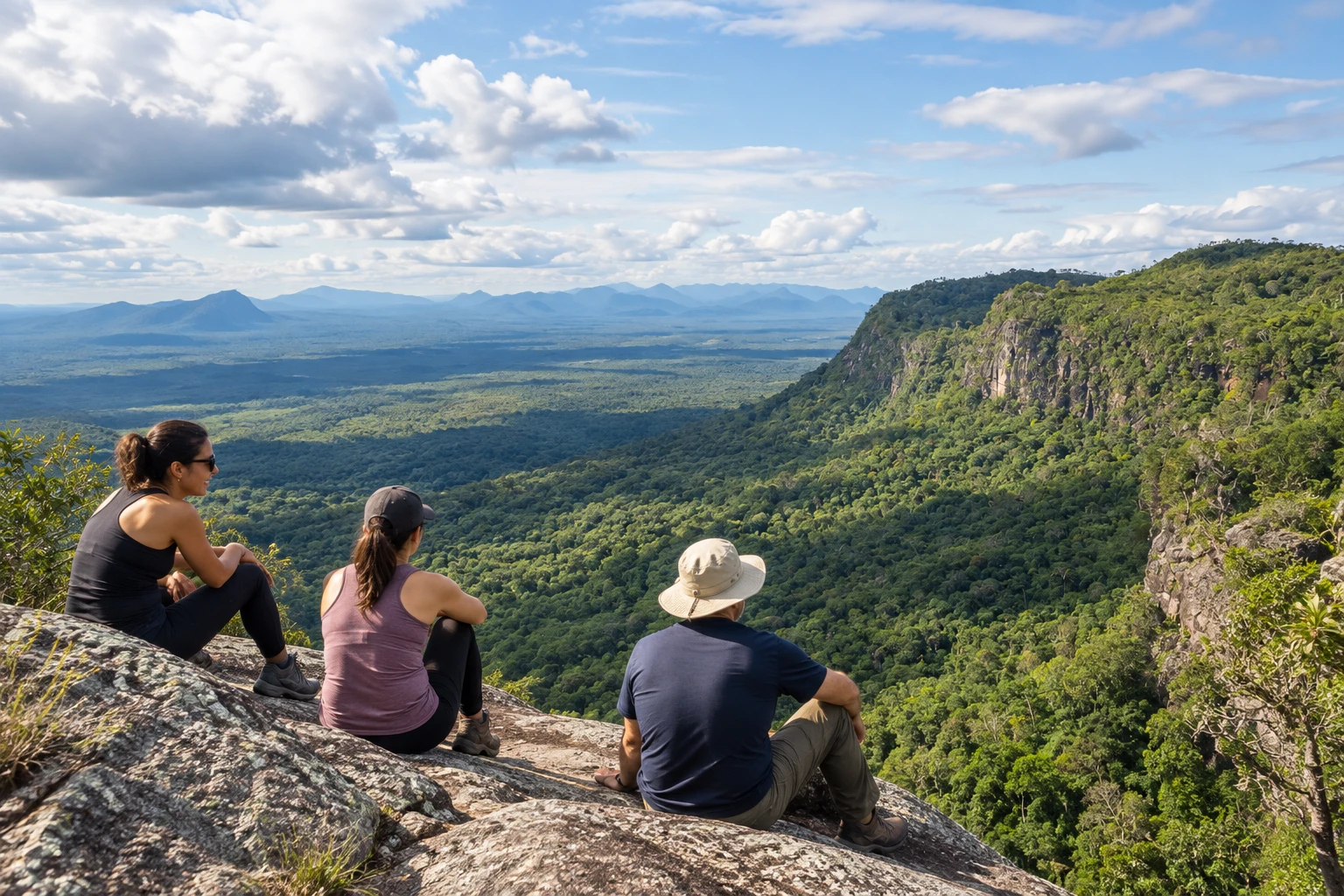
Today tourism has replaced mining. The Vila do Paiva is the main settlement, with pousadas, restaurants and small shops. Outings leave from there to the Paiva, Barata and Funil waterfalls, the Cabo Sobral rapids and the viewpoints, such as the Platô, the highest point in the mountains, and the Mão de Deus, a rock formation jutting out over the valley.
The mountain is the weekend and holiday destination for people who live in Roraima. There is something for everyone: easy-access waterfall swims near the village, and longer, tougher trails, such as the Platô trail and the descents to hard-to-reach waterfalls, which call for a local guide.
Before you go
Practical information
How much time to set aside
A weekend is enough to see the main waterfalls and one or two viewpoints; for the longer trails, allow three days.
Best time
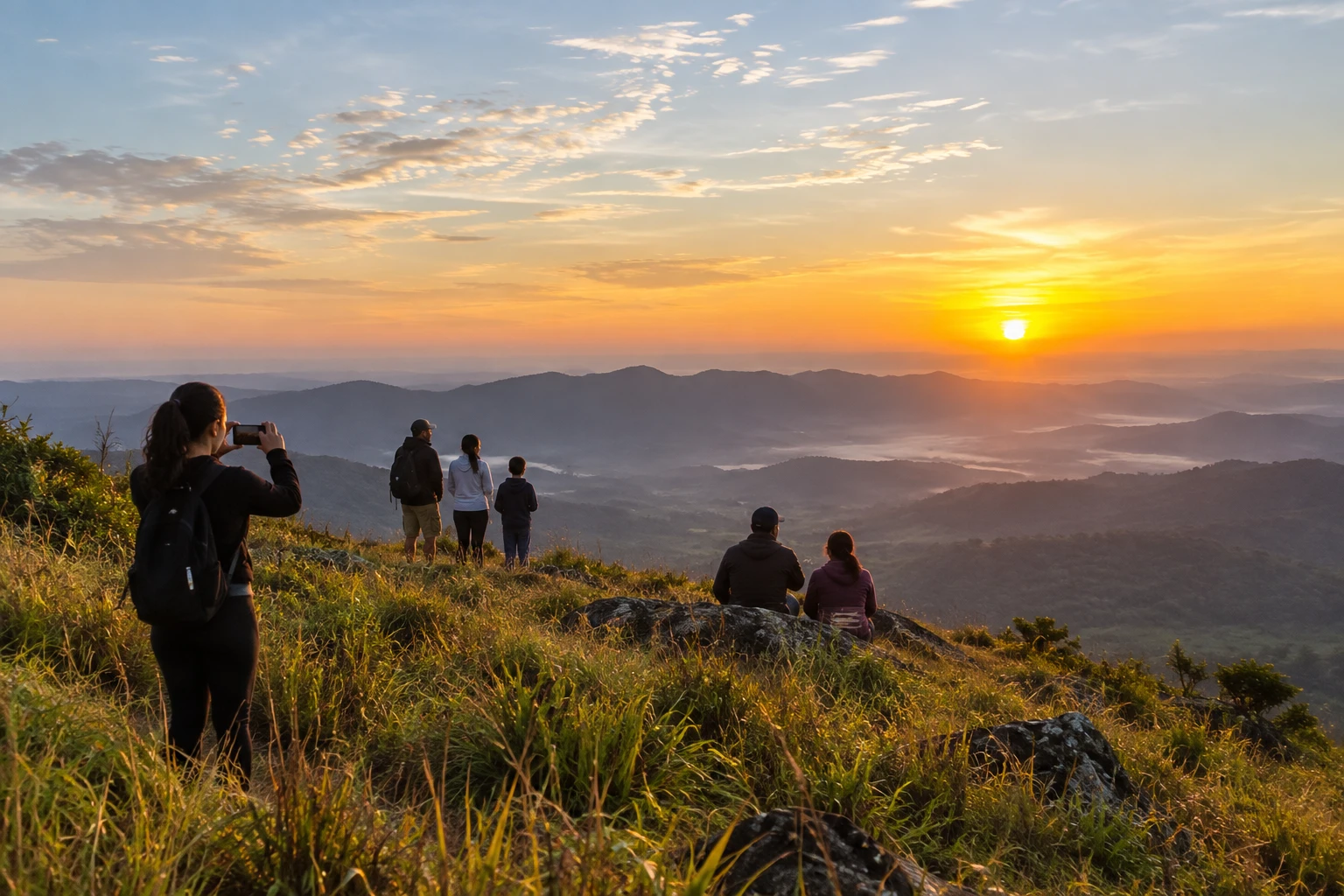
In the drier period, from September to March, when there is more sun and less rain. Sunrise seen from the Platô is one of the most popular moments.
How to get there
It is in the municipality of Amajari, a little over 200 km from Boa Vista. By car, take the BR-174 and then the RR-203, both paved; the trip takes about three hours. There are also buses and vans from the capital.
Tip
Hire a local guide for the more difficult trails, such as the Platô trail, the Mirante da Mão de Deus trail and the descent to Laje Verde.
A look at the place
Serra do Tepequém in pictures
These pictures are illustrations based on the real place, not photographs. They may differ from the place.
Click the picture to enlarge it.
Get your questions answered
Frequently asked questions about Serra do Tepequém
Where is the Serra do Tepequém?
In the municipality of Amajari, in northern Roraima, a little over 200 km from Boa Vista, via the BR-174 and the RR-203.
How long does it take to get from Boa Vista to Tepequém?
About three hours by car, on paved roads. There are also buses and vans from the capital.
What are the main waterfalls in Tepequém?
The best known are Paiva, Barata and Funil. There are also rapids, igarapés and lakes formed by the old mining.
Do I need a guide in the Serra do Tepequém?
Not for the easy-access waterfalls. For harder trails, such as the Platô, the Mirante da Mão de Deus and Laje Verde, it is recommended to go with a local guide.
What is the best time of year to go to Tepequém?
From September to March, in the drier period, with more sun and less rain. Weekends and holidays are the busiest days.