
park · Palhoça, SC
Parque Estadual da Serra do Tabuleiro
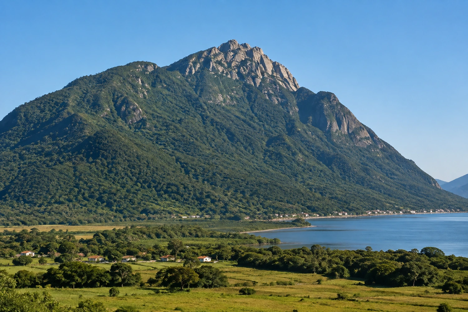
The largest protected area in Santa Catarina has one of its main gateways in the municipality. It's home to Morro do Cambirela, whose demanding trail leads to a view that, on clear days, takes in all of Santa Catarina Island.
Illustrative images. The pictures in this guide are illustrations based on the real place, not photographs, and may differ from it.
Discover
About Parque Estadual da Serra do Tabuleiro
The Parque Estadual da Serra do Tabuleiro is the largest strictly protected conservation area in Santa Catarina. Created in 1975, based on studies by botanists Father Raulino Reitz and Roberto Miguel Klein, it covers about 1% of the state's territory and spreads over several municipalities in Greater Florianópolis and the southern coast, from Florianópolis to Paulo Lopes.
The park headquarters are in Palhoça, in Baixada do Maciambu, by the BR-101. The visitor center there has short educational trails and information about the region's wildlife and plants. Baixada holds one of the most striking restinga landscapes on the Brazilian coast, with sand ridges formed by past changes in sea level.
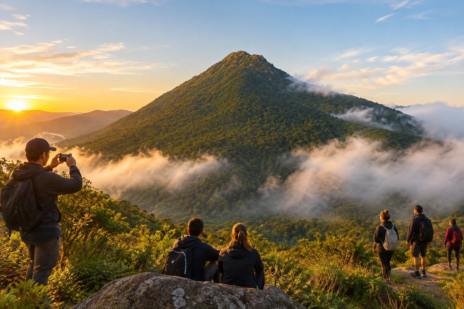
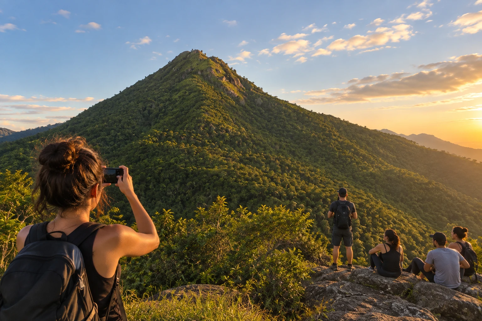
Also in Palhoça is Morro do Cambirela, the highest point in the municipality and one of the symbols of Greater Florianópolis, visible from many parts of the capital. The trail to the top is steep and demanding, with about three hours of climbing. From up there, the view takes in the coast, the interior and the mountains.
The visitor center works well for families and anyone who just wants a light walk. Cambirela, on the other hand, is for those who are fit: the terrain is tough, the weather changes fast and lost hikers have had to be rescued.
Before you go
Practical information
How much time to set aside
One to two hours at the visitor center; the Cambirela trail takes most of a day.
Best time
On dry, clear days, early in the morning, when visibility is best and the heat isn't yet weighing on the climb; avoid Cambirela in rain or fog.
How to get there
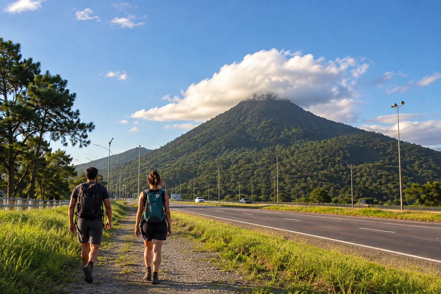
The headquarters and visitor center are in Baixada do Maciambu, in Palhoça, off the BR-101, south of Florianópolis. The Cambirela trails start at access points also along the BR-101, on the north side of the mountain.
Tip
To climb Cambirela, go with a guide or someone who knows the trail, bring plenty of water and start early so you come down in daylight.
A look at the place
Parque Estadual da Serra do Tabuleiro in pictures
These pictures are illustrations based on the real place, not photographs. They may differ from the place.
Click the picture to enlarge it.
Get your questions answered
Frequently asked questions about Parque Estadual da Serra do Tabuleiro
Is Morro do Cambirela inside the Parque da Serra do Tabuleiro?
Yes. Cambirela, in Palhoça, is part of the Parque Estadual da Serra do Tabuleiro.
Is the Cambirela trail hard?
Yes. It's steep and demanding, with about three hours of climbing. It requires fitness and is best done with a guide or someone who knows the way.
What's at the park's visitor center?
Short educational trails and information about wildlife and plants. It's in Baixada do Maciambu, in Palhoça, by the BR-101.
Can I bring kids?
At the visitor center, yes: the trails are easy. The Cambirela climb is not recommended for small children.
Is there an entrance fee?
Check visiting conditions and visitor center hours with IMA (Instituto do Meio Ambiente de Santa Catarina, the state environmental agency) before you go.