
trail · Florianópolis, SC
Lagoinha do Leste
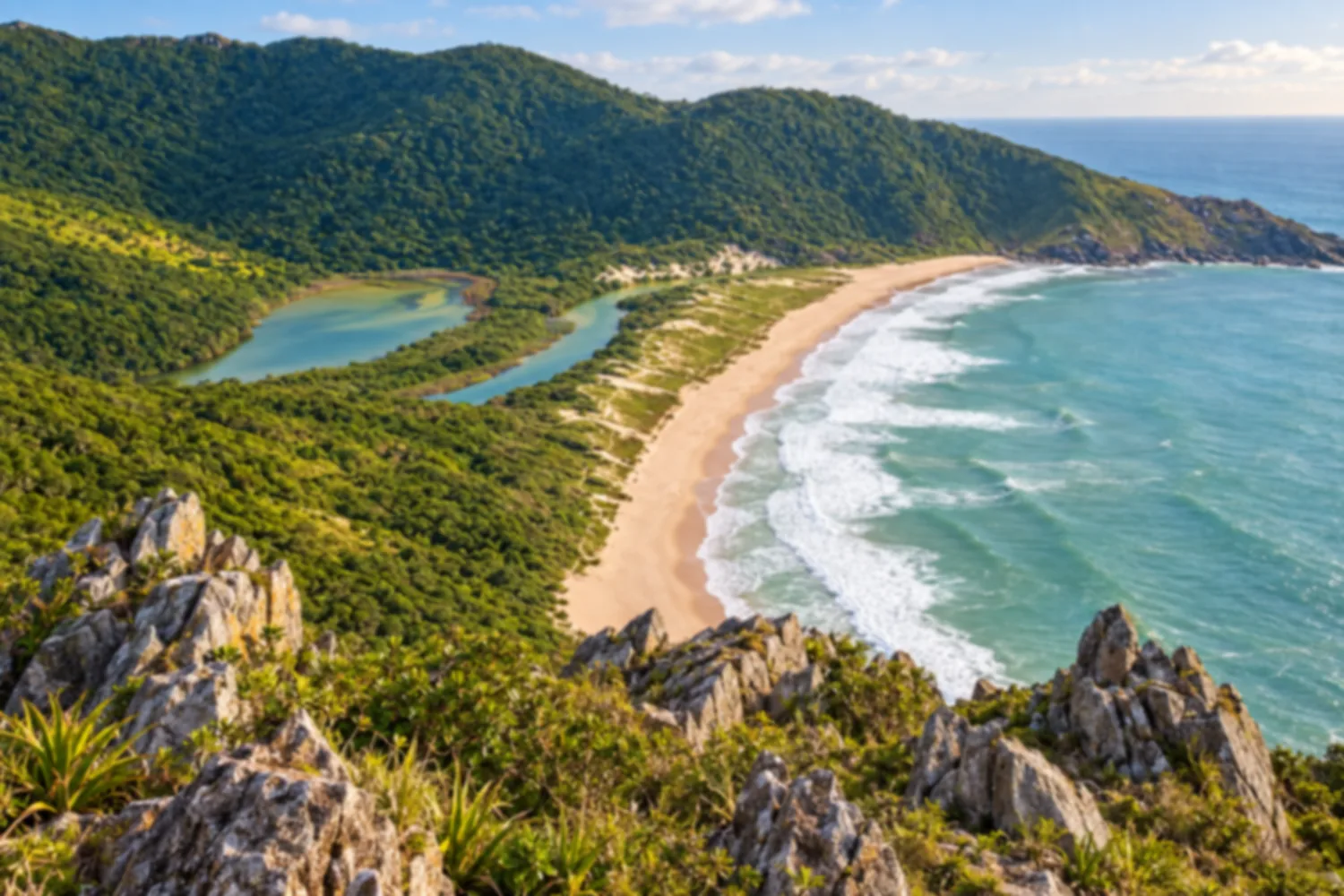
A wild beach with no car access, reached only by trail from Pântano do Sul or Matadeiro. The viewpoint along the way offers one of the most beautiful views on the island.
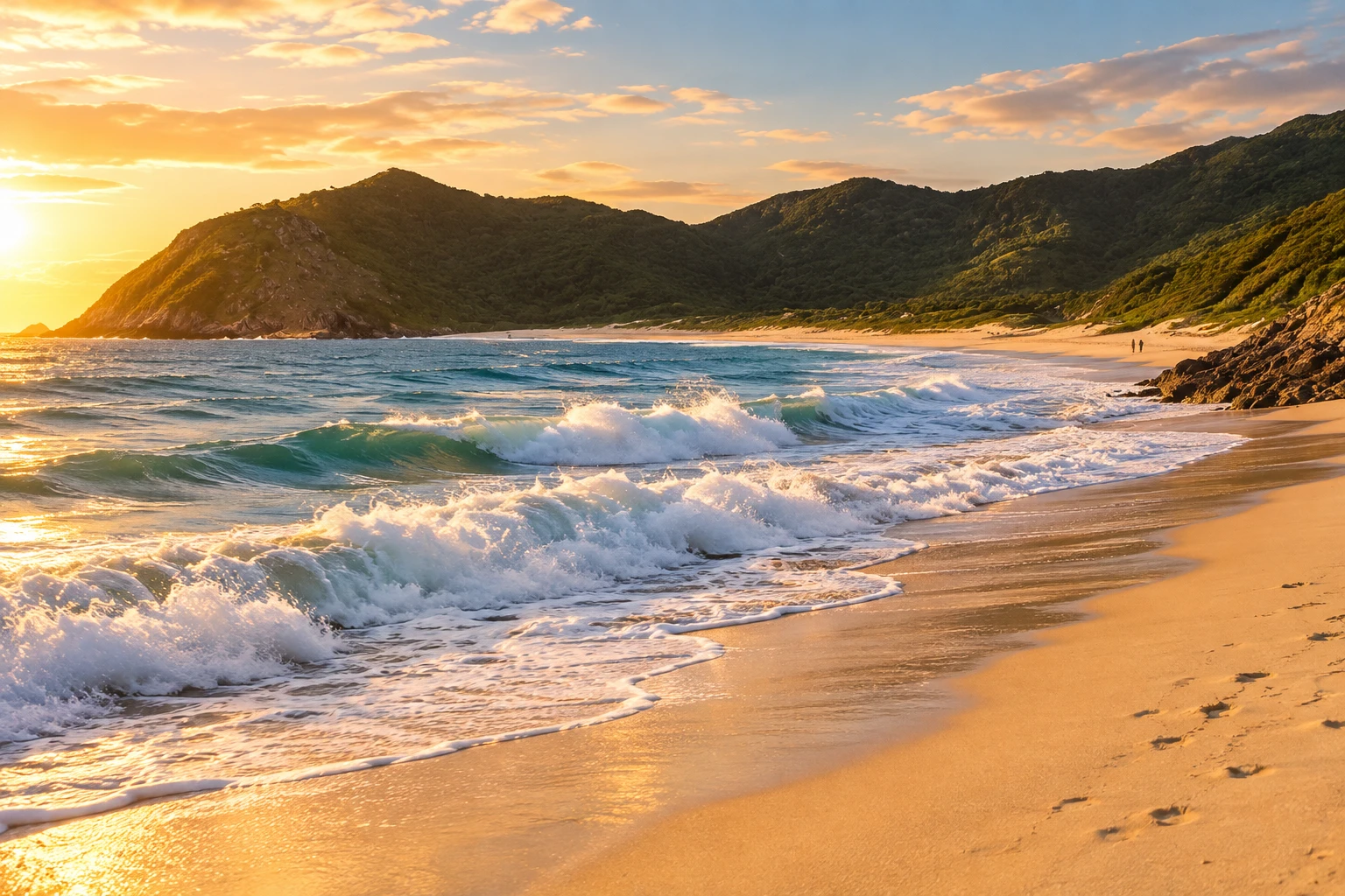
Illustrative images. The pictures in this guide are illustrations based on the real place, not photographs, and may differ from it.
Discover
About Lagoinha do Leste
Lagoinha do Leste is in the south of the island, between the hills of Pântano do Sul and Armação, and has no road. It's a Municipal Natural Park, protected since 1992, with more than 900 hectares of Atlantic Forest, restinga and rocky shores. The beach has just over 1 kilometer of light sand, open sea and no buildings in sight.
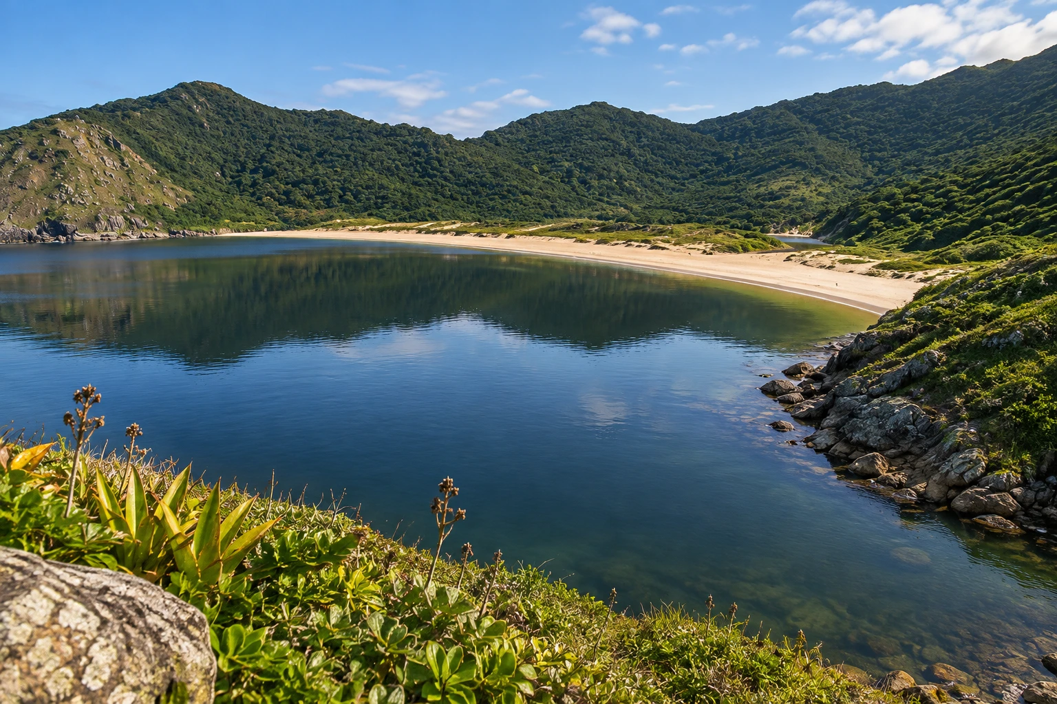
At the northern end, behind the sand, is the lagoon that gives the place its name. It's fresh water, from the streams coming down the hill, and sometimes mixes with the sea and turns brackish. Many people swim in the lagoon, because the sea has strong waves and heavy surf.
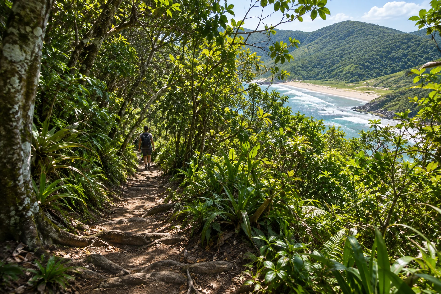
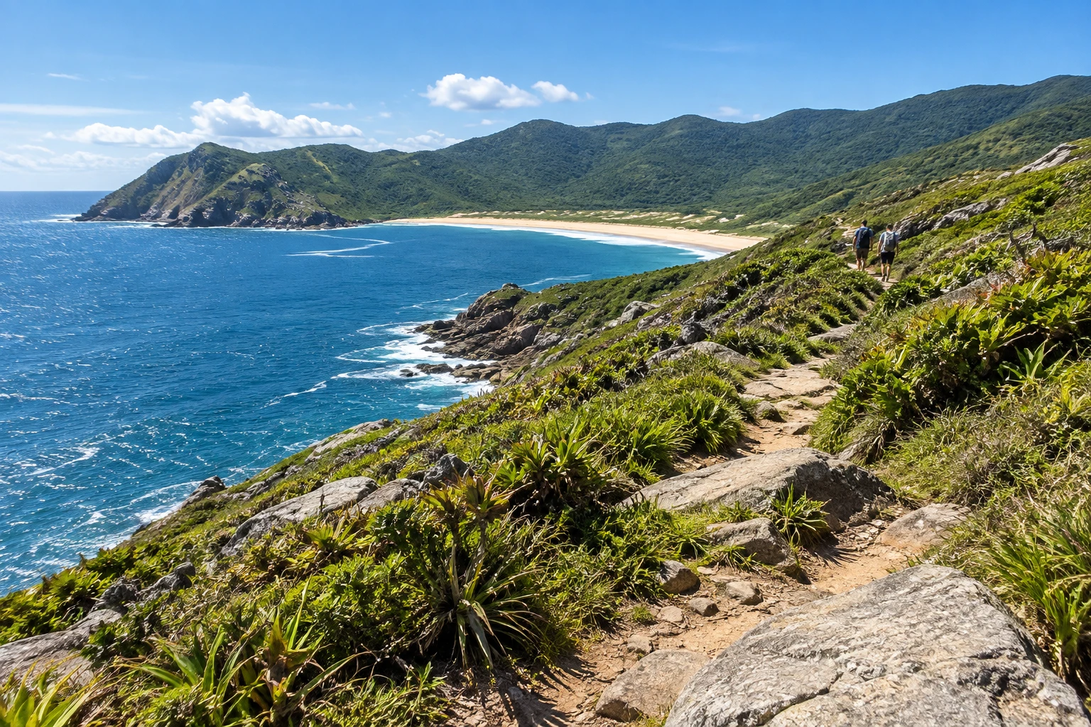
There are two trails. The one from Pântano do Sul is the shortest: about 2.3 km, an hour to an hour and a half. It starts with a steep climb through dense forest and ends with a descent to the beach. It's easy to moderate, almost all in the shade. The Matadeiro trail leaves from Praia da Armação, crosses Matadeiro and follows the rocky shore: about 4 km, two and a half to three hours, with sun and sea views almost the whole way. It's moderate to difficult. You can go one way and return the other.
On the Pântano route, a detour climbs Morro da Coroa, with a view of the beach and the lagoon from above. It's a stretch of loose rock, difficult and without shade. In season, fishermen from Pântano do Sul sometimes make the trip by boat, if the sea allows.
Before you go
Practical information
How much time to set aside
A full day, counting the trails there and back and the time on the beach.
Best time
Dry days in fall and winter for the trail: mud makes the climb slippery. In summer the beach is busier, and the sea usually has bigger waves.
How to get there
It's in the south of the island, about 26 km from downtown. The short trail starts at the end of Rua Manoel Pedro de Oliveira, in Pântano do Sul; the long one, at Praia da Armação. By bus, go from downtown to the Rio Tavares Terminal (TIRIO) and from there to the southern beaches. By car, there are private parking lots in Pântano do Sul.
Tip
There are no permanent vendors on the beach: bring water and food and carry your trash back. Lagoinha is the trail with the most rescues in the region. Let someone know before you go, wear sturdy shoes and don't start the trail late. In an emergency, call 193.
Official website
A look at the place
Lagoinha do Leste in pictures
These pictures are illustrations based on the real place, not photographs. They may differ from the place.
Click the picture to enlarge it.
Get your questions answered
Frequently asked questions about Lagoinha do Leste
Which trail is easier?
The one from Pântano do Sul: about 2.3 km, an hour to an hour and a half, with a steep climb at the start and almost all in the shade. The Matadeiro trail is about 4 km, takes two and a half to three hours and is more exposed to the sun.
Do I need a guide?
It's not required. The trails are marked and the park is open. Even so, let someone know before you go, bring water and don't start late.
Can I get there by boat?
Sometimes. In season, fishermen from Pântano do Sul make the trip when the sea allows. Otherwise, only by trail.
Are there vendors on the beach?
There are no permanent vendors. Bring water and food and carry your trash back.
Can I swim?
The sea has strong waves and heavy surf. Many people prefer the freshwater lagoon at the northern end of the beach.