
bay · Guaratuba, PR
Baía de Guaratuba
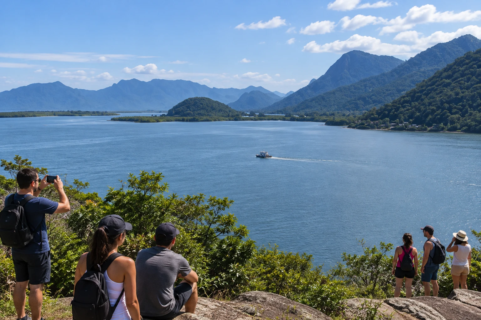
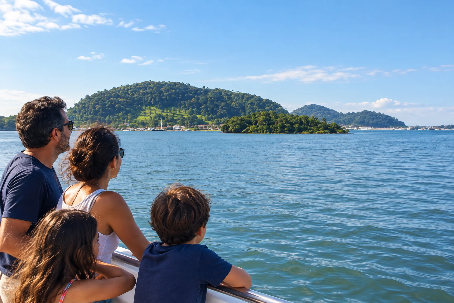
The second-largest bay in Paraná, about 48 square kilometers, it receives 16 rivers and is dotted with islands and mangroves in an environmental protection area. The ferry crossing to Caiobá offers a wide view of the water and the mountains.
Illustrative images. The pictures in this guide are illustrations based on the real place, not photographs, and may differ from it.
Discover
About Baía de Guaratuba
The Baía de Guaratuba (bay) is the second-largest bay in Paraná, after only the Baía de Paranaguá. It has nearly 48 square kilometers of water, receives 16 rivers and separates Guaratuba from Matinhos, on the state's southern coast.
Its shores are covered in mangroves and the water is dotted with islands, such as Ilha do Capim and Ilha da Sepultura. The area is part of the Guaratuba Environmental Protection Area and is a refuge for birds and other animals. The town's name itself recalls the guarás (scarlet ibises), red-feathered birds that live in the bay.
For 66 years, from 1960 to 2026, the crossing between Caiobá and Guaratuba was made by ferry. Since 2026 the link has been the Ponte de Guaratuba, a 1,244-meter bridge with a bike lane and a pedestrian walkway.
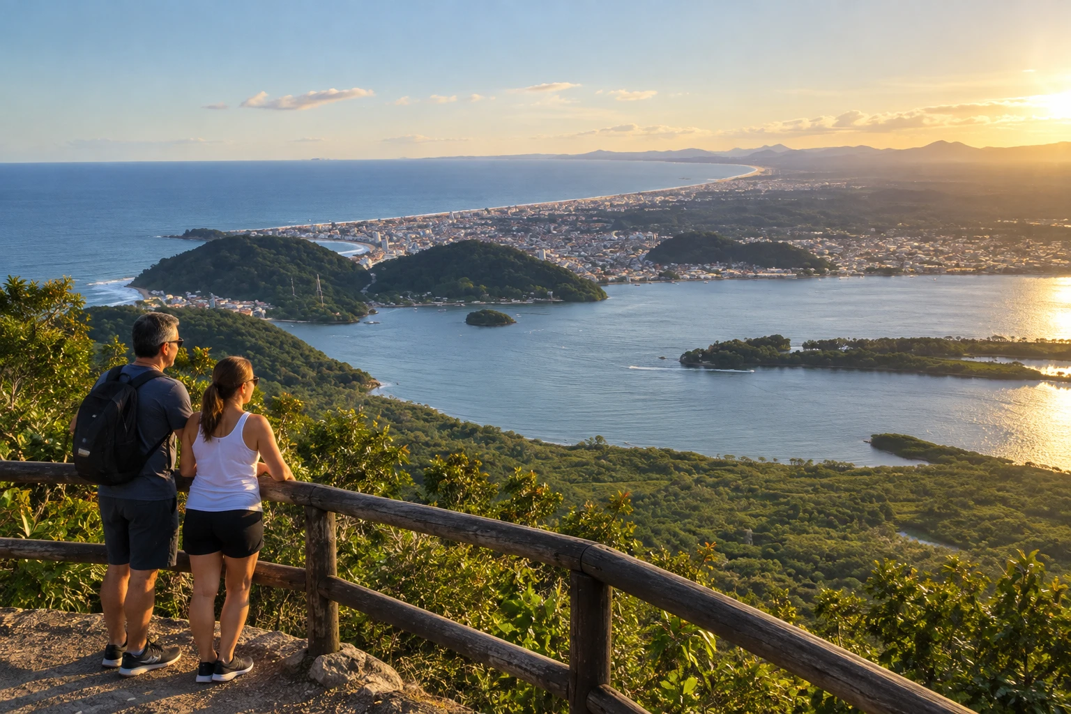
On the water, the bay is a spot for fishing, boat trips and sports such as wakeboarding, windsurfing and diving. Marinas on the waterfront rent boats, and some tours head into the bay toward the Salto do Parati (waterfall). To see it all from above, Morro do Cabaraquara (hill) offers one of the widest views of the bay, the islands and the town.
Before you go
Practical information
How much time to set aside
From 1 hour, to see the bay from the waterfront or a viewpoint, to half a day with a boat trip.
Best time
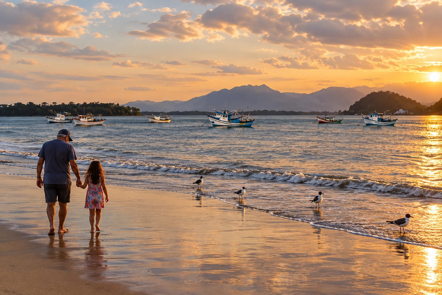
Spring and summer, with settled days for boat trips; late afternoon gives nice light over the water and the mountains.
How to get there
The bay is on the north side of Guaratuba, next to downtown and Praia de Caieiras (beach), at the mouth of the bay. From Curitiba, take the BR-277 and the PR-508 to Matinhos and cross the bay on the Ponte de Guaratuba (bridge); from downtown, you can walk to the bay's waterfront.
Tip
For boat trips, look for the marinas and boatmen on the bay's waterfront and agree on the route before boarding, according to the tide and the weather.
A look at the place
Baía de Guaratuba in pictures
These pictures are illustrations based on the real place, not photographs. They may differ from the place.
Click the picture to enlarge it.
Get your questions answered
Frequently asked questions about Baía de Guaratuba
Is there still a ferry in Guaratuba?
No. The ferry was retired in 2026, when the Ponte de Guaratuba (bridge) began linking the town to Matinhos.
Can I cross the bridge on foot or by bike?
Yes. The Ponte de Guaratuba has a bike lane and a pedestrian walkway.
Can I take a boat trip on the Baía de Guaratuba?
Yes. Marinas and boatmen on the waterfront offer tours and boat rentals, including routes toward the Salto do Parati (waterfall).
Where can I see the bay from above?
Morro do Cabaraquara (hill) is one of the viewpoints with the widest view of the bay, the islands and the town.